St. Croix Falls is a city in Polk County, Wisconsin, United States. The population was 2,208 at the 2020 census. The city is located within the Town of St. Croix Falls.
U.S. Route 8, Wisconsin Highway 35, and Wisconsin Highway 87 are three of the main arterial routes in the city.
| Name: | St. Croix Falls city |
|---|---|
| LSAD Code: | 25 |
| LSAD Description: | city (suffix) |
| State: | Wisconsin |
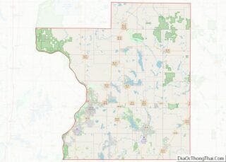
| County: | Polk County |
| Total Area: | 5.12 sq mi (13.25 km²) |
| Land Area: | 4.98 sq mi (12.91 km²) |
| Water Area: | 0.13 sq mi (0.34 km²) |
| Total Population: | 2,208 |
| Population Density: | 442.8/sq mi (171.0/km²) |
| ZIP code: | 54024 |
| Area code: | 715 & 534 |
| FIPS code: | 5570550 |
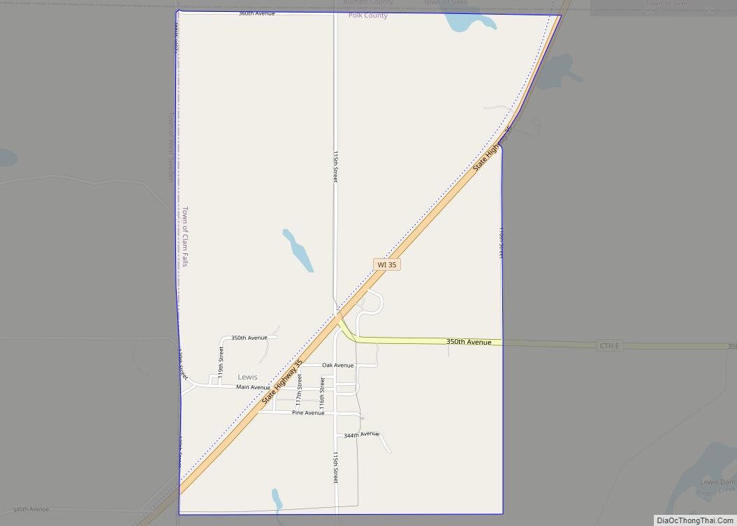
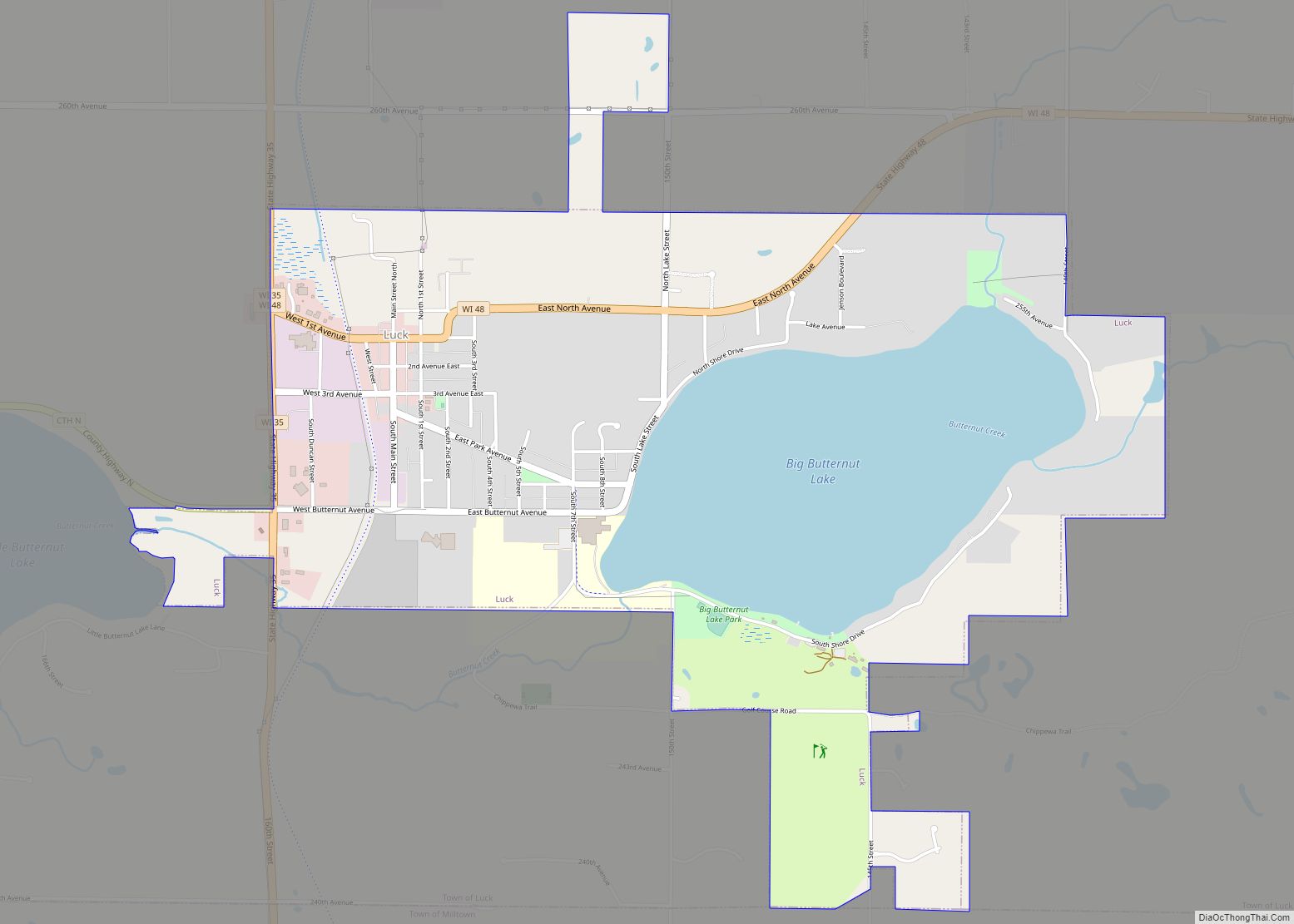
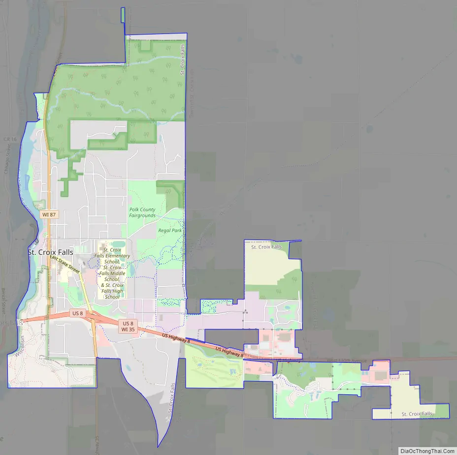
Online Interactive Map
Click on ![]() to view map in "full screen" mode.
to view map in "full screen" mode.
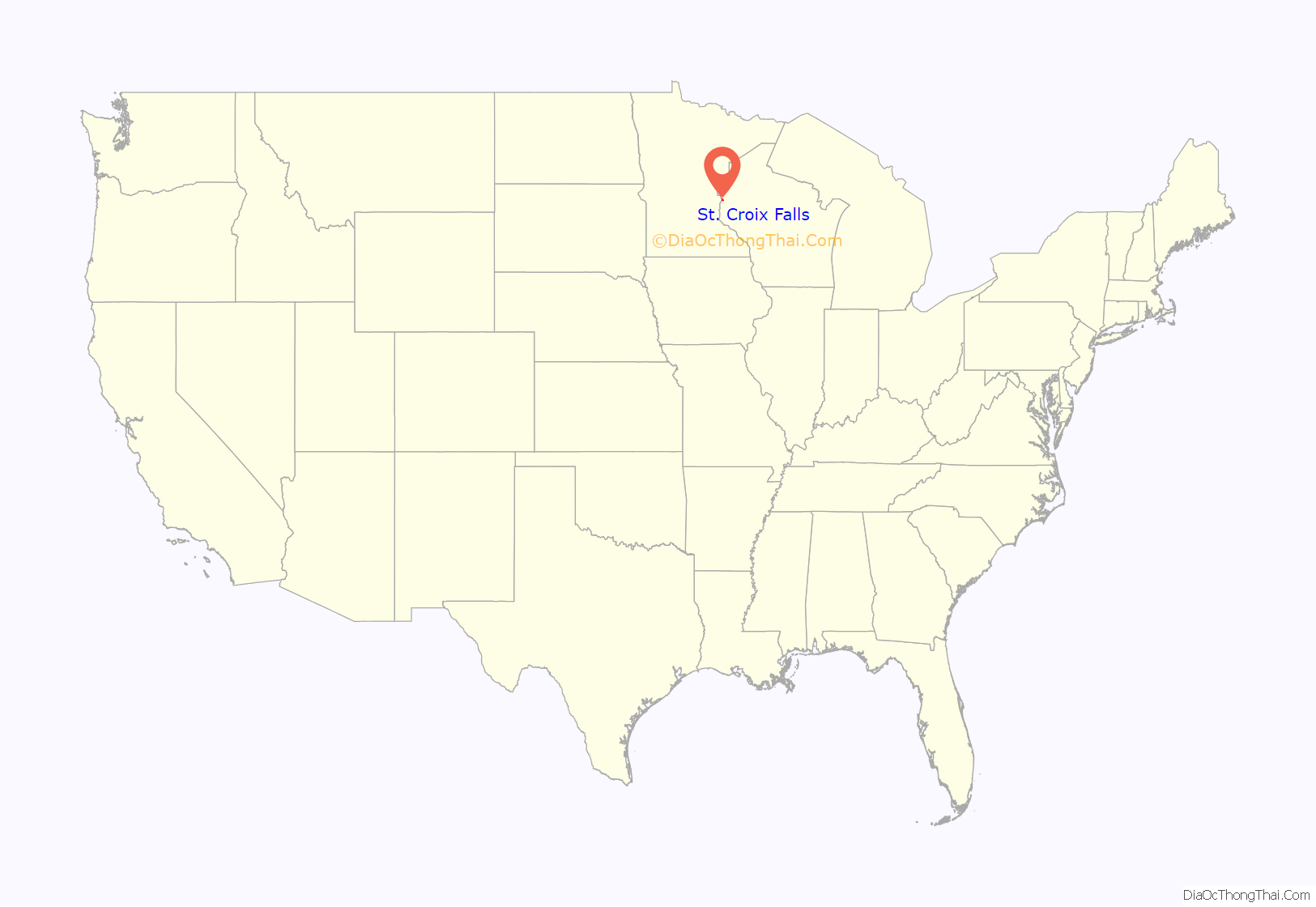
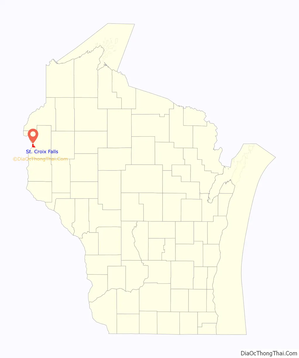
St. Croix Falls location map. Where is St. Croix Falls city?
History
In the 1840s the land that would become Saint Croix Falls was indirectly settled by Scandinavians and Germans. After the increase of logging, and the founding of the Cushing Land Company, Saint Croix Falls became incorporated in Wisconsin during 1887. The logging industry became important in St Croix falls, attracting New England immigrants which started a chain reaction of cutting down vast amounts of white pine. They were sent down the saint Croix river and the Mississippi river. From the late 1890s on the logging industry died down, the last log going down the Saint Croix log mill in 1914. This made St. Croix falls a more agricultural town. It officially became a city in 1958.
The Saint Croix Falls Dam was completed in the town in 1907 to generate hydroelectricity for Minneapolis, Minnesota, impounding the river’s natural falls.
St. Croix Falls Road Map
St. Croix Falls city Satellite Map

Geography
St. Croix Falls is located at 45°24′43″N 92°38′20″W / 45.41194°N 92.63889°W / 45.41194; -92.63889 (45.411956, -92.638916).
According to the United States Census Bureau, the city has a total area of 4.78 square miles (12.38 km), of which, 4.67 square miles (12.10 km) is land and 0.11 square miles (0.28 km) is water.
St. Croix Falls is adjacent to Taylors Falls, Minnesota, across The St. Croix River.
See also
Map of Wisconsin State and its subdivision:- Adams
- Ashland
- Barron
- Bayfield
- Brown
- Buffalo
- Burnett
- Calumet
- Chippewa
- Clark
- Columbia
- Crawford
- Dane
- Dodge
- Door
- Douglas
- Dunn
- Eau Claire
- Florence
- Fond du Lac
- Forest
- Grant
- Green
- Green Lake
- Iowa
- Iron
- Jackson
- Jefferson
- Juneau
- Kenosha
- Kewaunee
- La Crosse
- Lafayette
- Lake Michigan
- Lake Superior
- Langlade
- Lincoln
- Manitowoc
- Marathon
- Marinette
- Marquette
- Menominee
- Milwaukee
- Monroe
- Oconto
- Oneida
- Outagamie
- Ozaukee
- Pepin
- Pierce
- Polk
- Portage
- Price
- Racine
- Richland
- Rock
- Rusk
- Saint Croix
- Sauk
- Sawyer
- Shawano
- Sheboygan
- Taylor
- Trempealeau
- Vernon
- Vilas
- Walworth
- Washburn
- Washington
- Waukesha
- Waupaca
- Waushara
- Winnebago
- Wood
- Alabama
- Alaska
- Arizona
- Arkansas
- California
- Colorado
- Connecticut
- Delaware
- District of Columbia
- Florida
- Georgia
- Hawaii
- Idaho
- Illinois
- Indiana
- Iowa
- Kansas
- Kentucky
- Louisiana
- Maine
- Maryland
- Massachusetts
- Michigan
- Minnesota
- Mississippi
- Missouri
- Montana
- Nebraska
- Nevada
- New Hampshire
- New Jersey
- New Mexico
- New York
- North Carolina
- North Dakota
- Ohio
- Oklahoma
- Oregon
- Pennsylvania
- Rhode Island
- South Carolina
- South Dakota
- Tennessee
- Texas
- Utah
- Vermont
- Virginia
- Washington
- West Virginia
- Wisconsin
- Wyoming