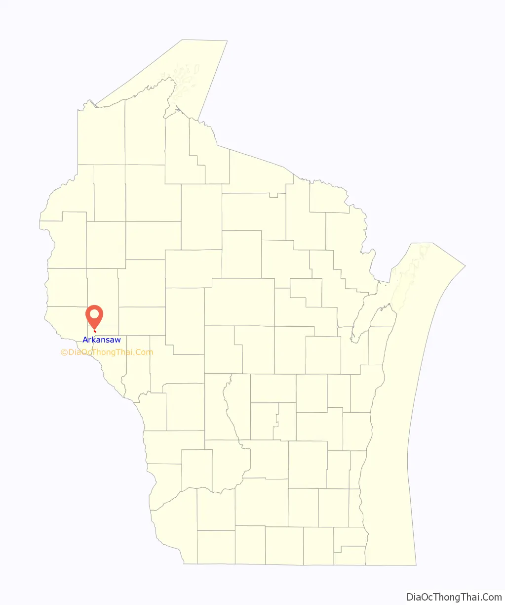
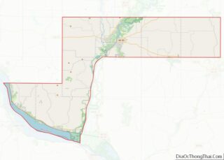
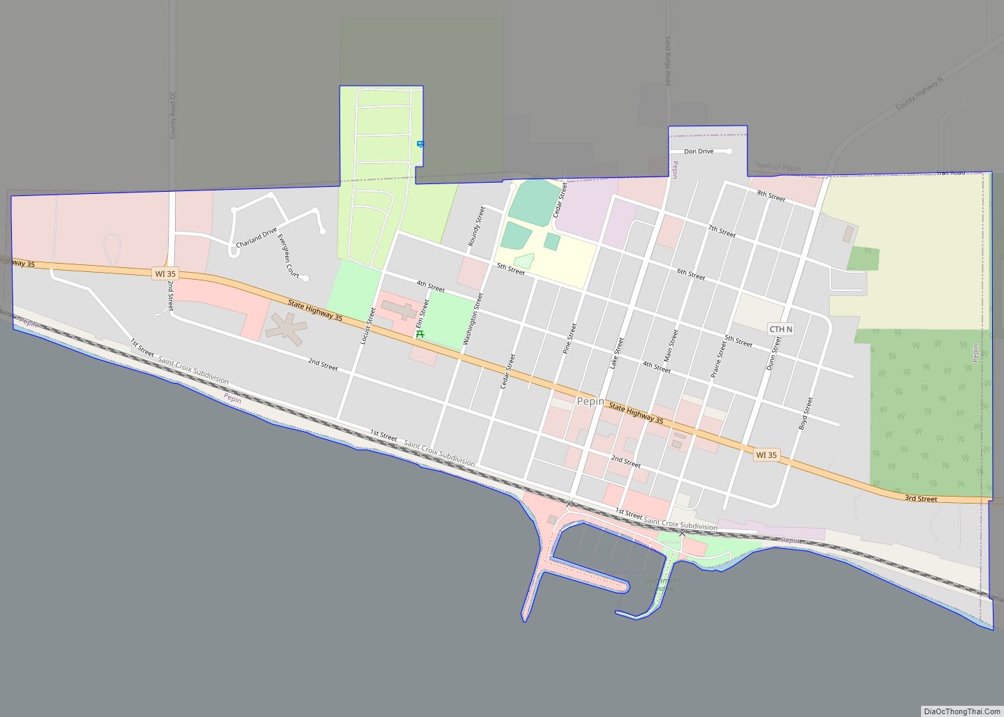
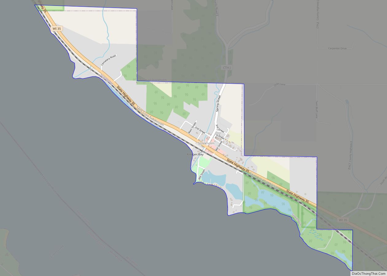
Arkansaw is an unincorporated census-designated place in the eastern portion of the town of Waterville, in Pepin County, Wisconsin, United States. Located approximately 3 miles (4.8 km) west of Durand, it has the ZIP code of 54721. As of the 2010 census, its population was 177. From 1881 to 1886, the community was the county seat of Pepin County.
| Name: | Arkansaw CDP |
|---|---|
| LSAD Code: | 57 |
| LSAD Description: | CDP (suffix) |
| State: | Wisconsin |
| County: | Pepin County |
| Elevation: | 738 ft (225 m) |
| Total Area: | 0.72 sq mi (1.86 km²) |
| Land Area: | 0.71 sq mi (1.84 km²) |
| Water Area: | 0.01 sq mi (0.02 km²) |
| Total Population: | 857 |
| FIPS code: | 5502700 |
| GNISfeature ID: | 1560934 |
Online Interactive Map
Click on ![]() to view map in "full screen" mode.
to view map in "full screen" mode.
Arkansaw location map. Where is Arkansaw CDP?
History
Arkansaw was founded in the early 1850s at a crossing of Arkansaw Creek, a tributary of the Eau Galle River. Initially built around lumbering, the first sawmill was opened in the community in 1852.
The community was originally built near the center of three dams within a mile of each other on Arkansaw Creek. All three were wiped out in a flood in 1907. Arkansaw Creek was named in honor of the Arkansas River. Today, the course of the creek runs through Arkansaw Creek Park.
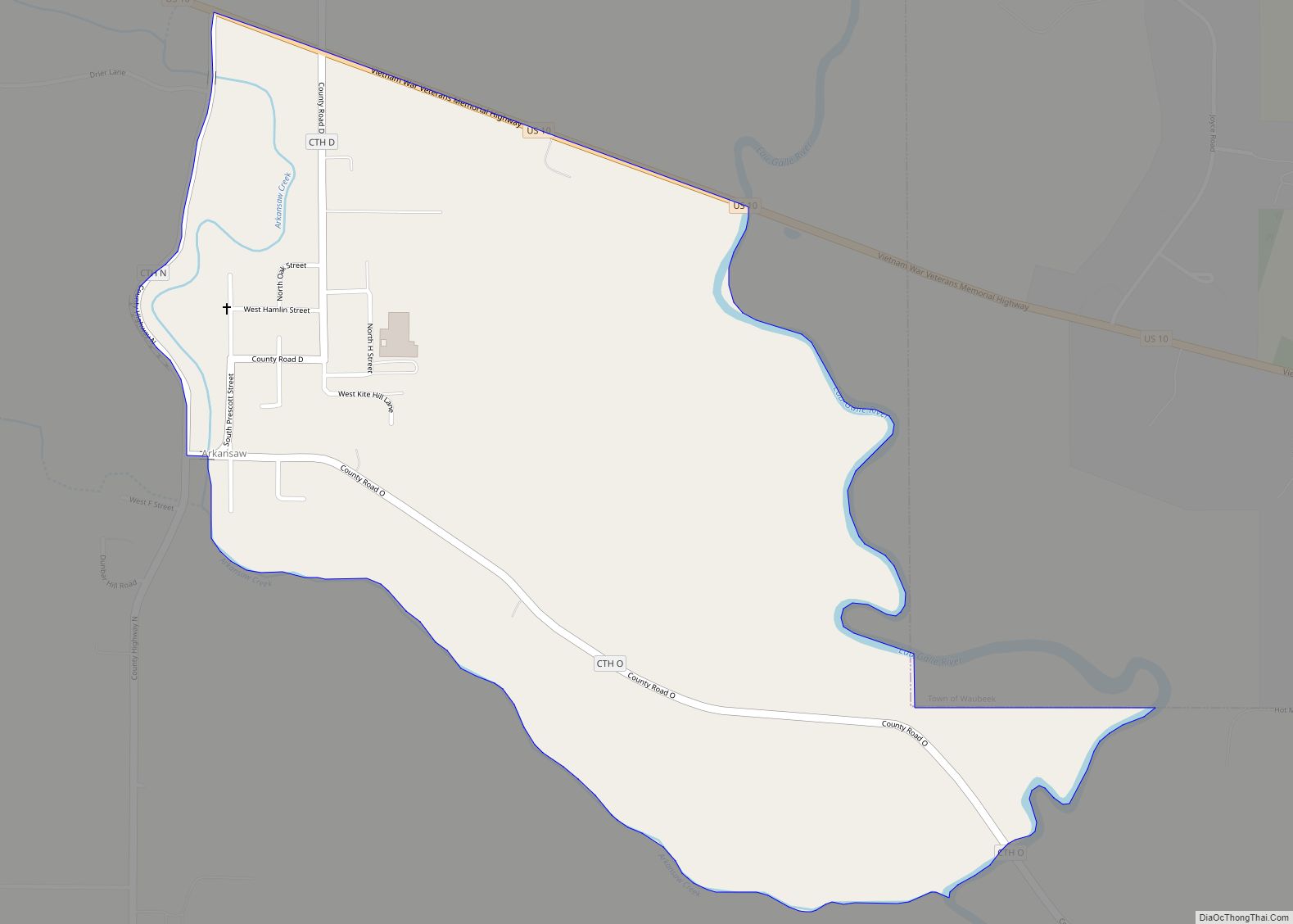
Arkansaw Road Map
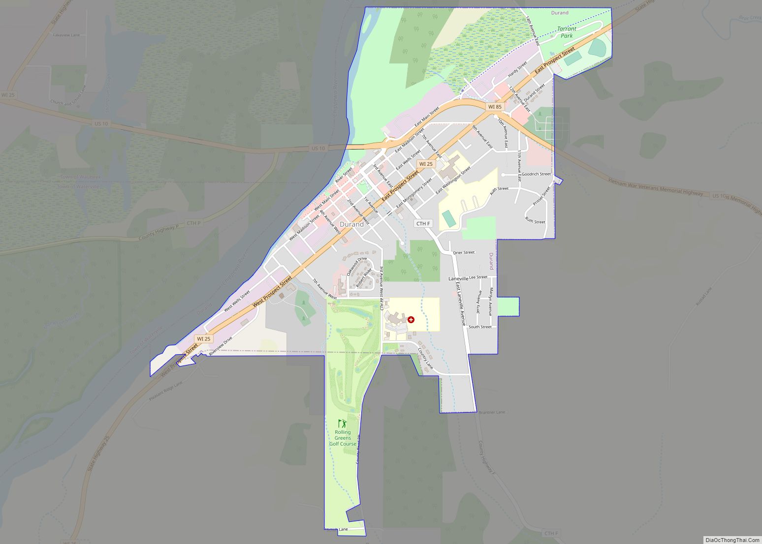
Arkansaw city Satellite Map
Geography
The community lies at the junction of U.S. Route 10 and Pepin County Trunk Highways D, N, O, and X. It has an area of 0.720 square miles (1.86 km); 0.712 square miles (1.84 km) of this is land, and 0.008 square miles (0.021 km) is water.
See also
Map of Wisconsin State and its subdivision:- Adams
- Ashland
- Barron
- Bayfield
- Brown
- Buffalo
- Burnett
- Calumet
- Chippewa
- Clark
- Columbia
- Crawford
- Dane
- Dodge
- Door
- Douglas
- Dunn
- Eau Claire
- Florence
- Fond du Lac
- Forest
- Grant
- Green
- Green Lake
- Iowa
- Iron
- Jackson
- Jefferson
- Juneau
- Kenosha
- Kewaunee
- La Crosse
- Lafayette
- Lake Michigan
- Lake Superior
- Langlade
- Lincoln
- Manitowoc
- Marathon
- Marinette
- Marquette
- Menominee
- Milwaukee
- Monroe
- Oconto
- Oneida
- Outagamie
- Ozaukee
- Pepin
- Pierce
- Polk
- Portage
- Price
- Racine
- Richland
- Rock
- Rusk
- Saint Croix
- Sauk
- Sawyer
- Shawano
- Sheboygan
- Taylor
- Trempealeau
- Vernon
- Vilas
- Walworth
- Washburn
- Washington
- Waukesha
- Waupaca
- Waushara
- Winnebago
- Wood
- Alabama
- Alaska
- Arizona
- Arkansas
- California
- Colorado
- Connecticut
- Delaware
- District of Columbia
- Florida
- Georgia
- Hawaii
- Idaho
- Illinois
- Indiana
- Iowa
- Kansas
- Kentucky
- Louisiana
- Maine
- Maryland
- Massachusetts
- Michigan
- Minnesota
- Mississippi
- Missouri
- Montana
- Nebraska
- Nevada
- New Hampshire
- New Jersey
- New Mexico
- New York
- North Carolina
- North Dakota
- Ohio
- Oklahoma
- Oregon
- Pennsylvania
- Rhode Island
- South Carolina
- South Dakota
- Tennessee
- Texas
- Utah
- Vermont
- Virginia
- Washington
- West Virginia
- Wisconsin
- Wyoming

