Augusta is a city in Eau Claire County, Wisconsin, United States. The population was 1,550 at the 2010 census. The city is bordered by the Town of Bridge Creek.
| Name: | Augusta city |
|---|---|
| LSAD Code: | 25 |
| LSAD Description: | city (suffix) |
| State: | Wisconsin |
| County: | Eau Claire County |
| Elevation: | 961 ft (293 m) |
| Total Area: | 2.21 sq mi (5.72 km²) |
| Land Area: | 2.21 sq mi (5.72 km²) |
| Water Area: | 0.00 sq mi (0.00 km²) |
| Total Population: | 1,550 |
| Population Density: | 690.36/sq mi (266.53/km²) |
| ZIP code: | 54722 |
| FIPS code: | 5503825 |
| GNISfeature ID: | 1561013 |
| Website: | cityofaugusta.org |
Online Interactive Map
Click on ![]() to view map in "full screen" mode.
to view map in "full screen" mode.
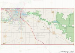
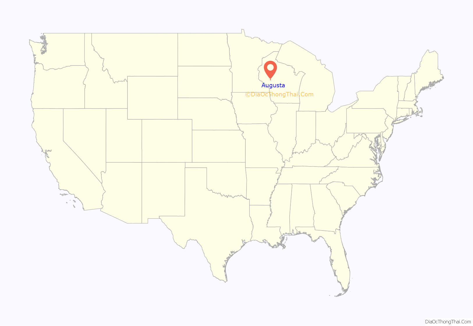
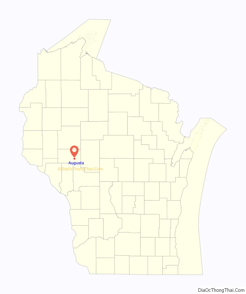
Augusta location map. Where is Augusta city?
History
Augusta was formerly called Ridge Creek. A post office has been in operation in Augusta since 1858. The city was named in 1856 after Augusta, Maine. Another theory holds that the town was named Augusta after citizens agreed to name the village after the prettiest girl in the area.
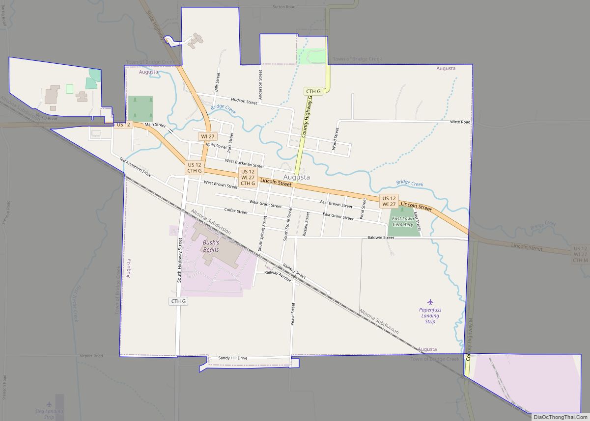
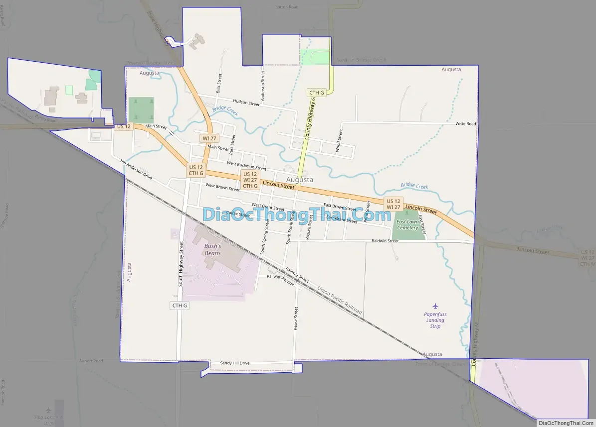
Augusta Road Map
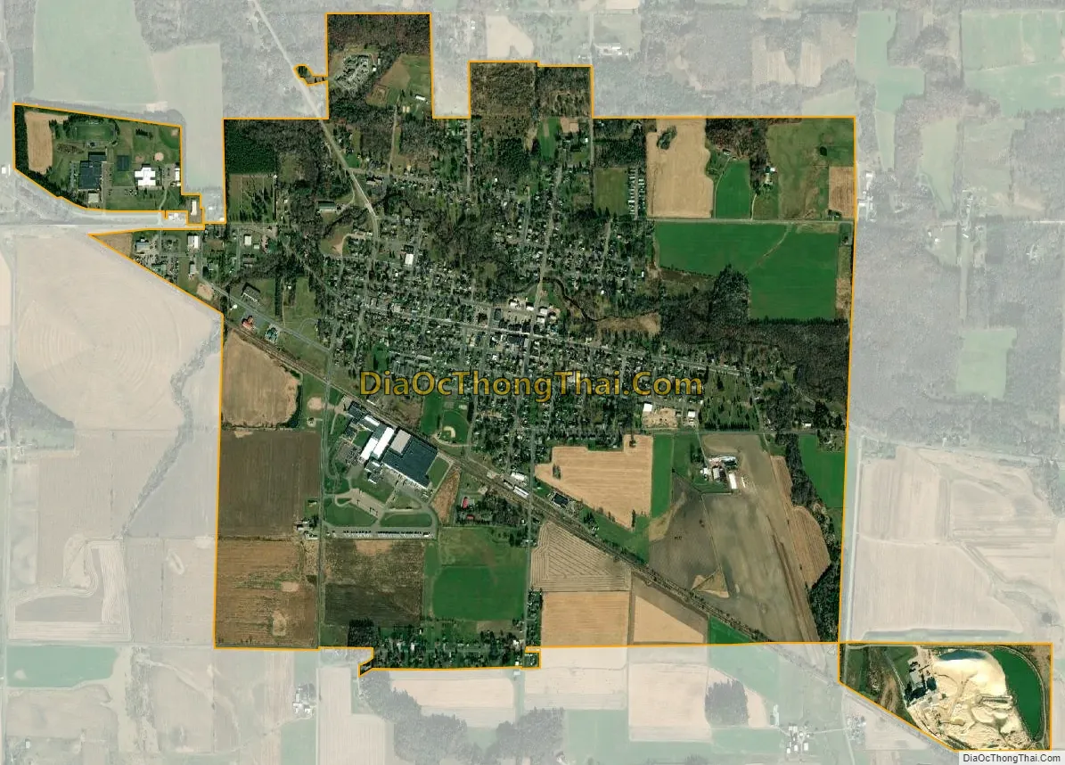
Augusta city Satellite Map
Geography
Augusta is located at 44°40′47″N 91°7′22″W / 44.67972°N 91.12278°W / 44.67972; -91.12278 (44.679656, -91.122664).
According to the United States Census Bureau, the city has a total area of 2.19 square miles (5.67 km), all of it land.
There are two class 2 trout fishing streams in Augusta: Bridge Creek and its tributary Diamond Valley Creek.
The city lies on US Highway 12, which serves as the main east-west thoroughfare through town, and also lies on State Trunk Highway 27. It is ten miles north of Interstate 94, and 20 miles southeast of the City of Eau Claire.
See also
Map of Wisconsin State and its subdivision:- Adams
- Ashland
- Barron
- Bayfield
- Brown
- Buffalo
- Burnett
- Calumet
- Chippewa
- Clark
- Columbia
- Crawford
- Dane
- Dodge
- Door
- Douglas
- Dunn
- Eau Claire
- Florence
- Fond du Lac
- Forest
- Grant
- Green
- Green Lake
- Iowa
- Iron
- Jackson
- Jefferson
- Juneau
- Kenosha
- Kewaunee
- La Crosse
- Lafayette
- Lake Michigan
- Lake Superior
- Langlade
- Lincoln
- Manitowoc
- Marathon
- Marinette
- Marquette
- Menominee
- Milwaukee
- Monroe
- Oconto
- Oneida
- Outagamie
- Ozaukee
- Pepin
- Pierce
- Polk
- Portage
- Price
- Racine
- Richland
- Rock
- Rusk
- Saint Croix
- Sauk
- Sawyer
- Shawano
- Sheboygan
- Taylor
- Trempealeau
- Vernon
- Vilas
- Walworth
- Washburn
- Washington
- Waukesha
- Waupaca
- Waushara
- Winnebago
- Wood
- Alabama
- Alaska
- Arizona
- Arkansas
- California
- Colorado
- Connecticut
- Delaware
- District of Columbia
- Florida
- Georgia
- Hawaii
- Idaho
- Illinois
- Indiana
- Iowa
- Kansas
- Kentucky
- Louisiana
- Maine
- Maryland
- Massachusetts
- Michigan
- Minnesota
- Mississippi
- Missouri
- Montana
- Nebraska
- Nevada
- New Hampshire
- New Jersey
- New Mexico
- New York
- North Carolina
- North Dakota
- Ohio
- Oklahoma
- Oregon
- Pennsylvania
- Rhode Island
- South Carolina
- South Dakota
- Tennessee
- Texas
- Utah
- Vermont
- Virginia
- Washington
- West Virginia
- Wisconsin
- Wyoming