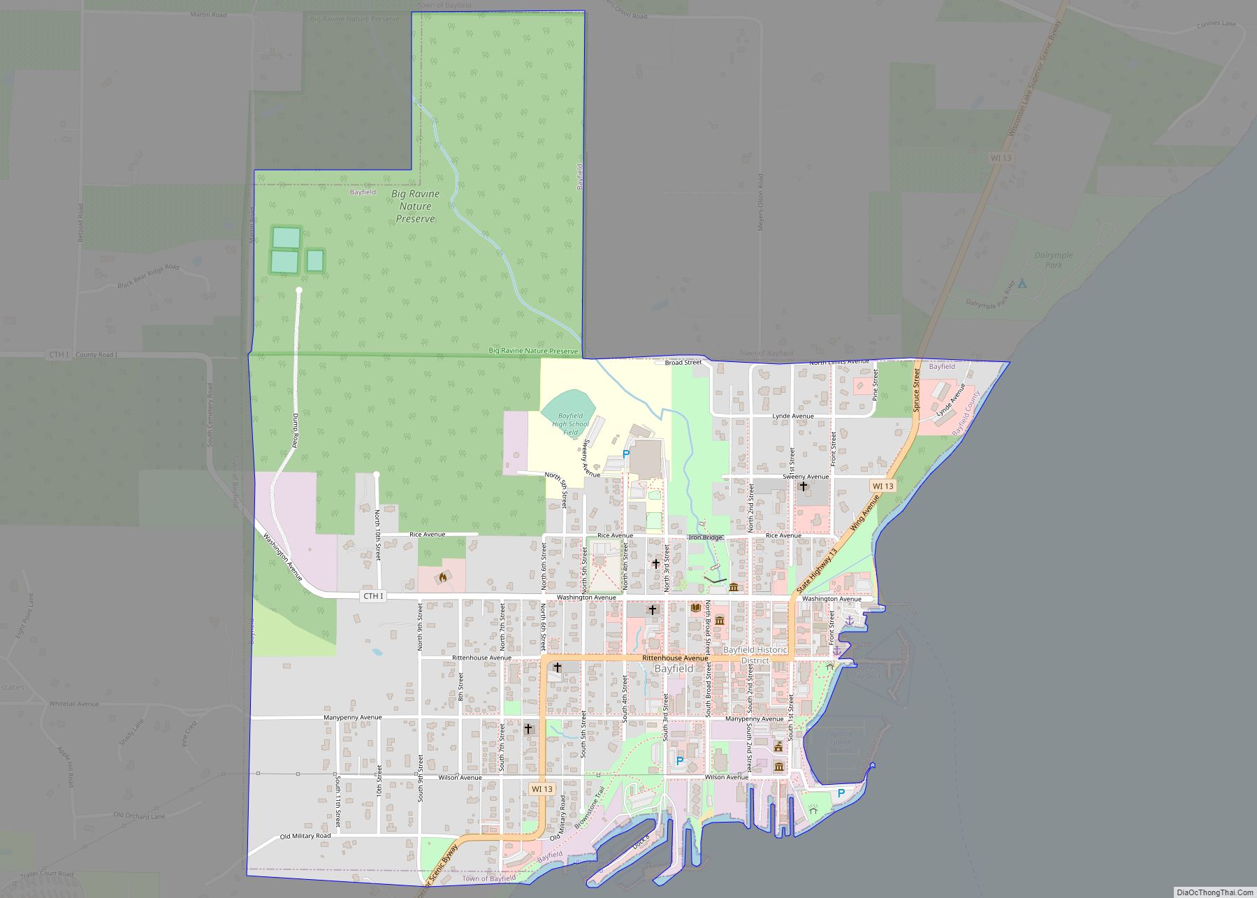
Bayfield is a city in Bayfield County, Wisconsin, United States. The population was 584 at the 2020 census. This makes it the city with the smallest population in Wisconsin. In fact, for a new city to be incorporated today, state regulations require a population of at least 1,000 residents, so it would have to be incorporated as a village instead.
Wisconsin Highway 13 serves as a main route in the community. It is a former county seat, lumbering town, and commercial fishing community, which today is a tourist and resort destination. There are many restaurants, hotels, bed & breakfast establishments, specialty shops, and marine services. The local Chamber of Commerce refers to Bayfield as the “Gateway to the Apostle Islands”.
| Name: | Bayfield city |
|---|---|
| LSAD Code: | 25 |
| LSAD Description: | city (suffix) |
| State: | Wisconsin |
| County: | Bayfield County |
| Elevation: | 830 ft (253 m) |
| Total Area: | 0.86 sq mi (2.23 km²) |
| Land Area: | 0.86 sq mi (2.23 km²) |
| Water Area: | 0.00 sq mi (0.00 km²) |
| Total Population: | 584 |
| Population Density: | 678.3/sq mi (261.9/km²) |
| ZIP code: | 54814 |
| FIPS code: | 5505350 |
| GNISfeature ID: | 1582764 |
| Website: | cityofbayfield.com |
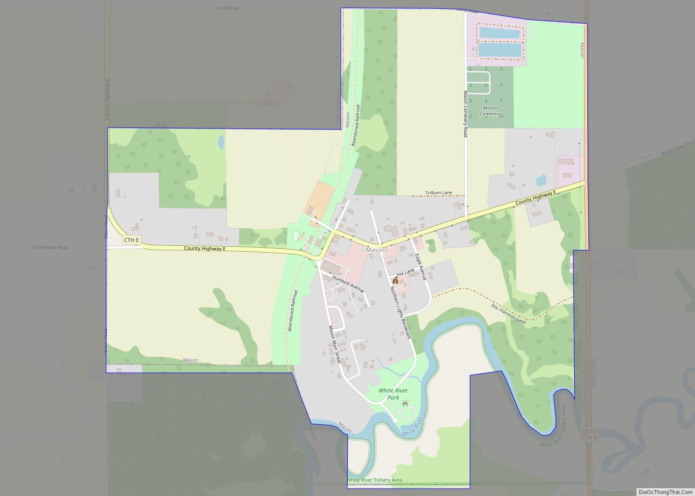
Online Interactive Map
Click on ![]() to view map in "full screen" mode.
to view map in "full screen" mode.
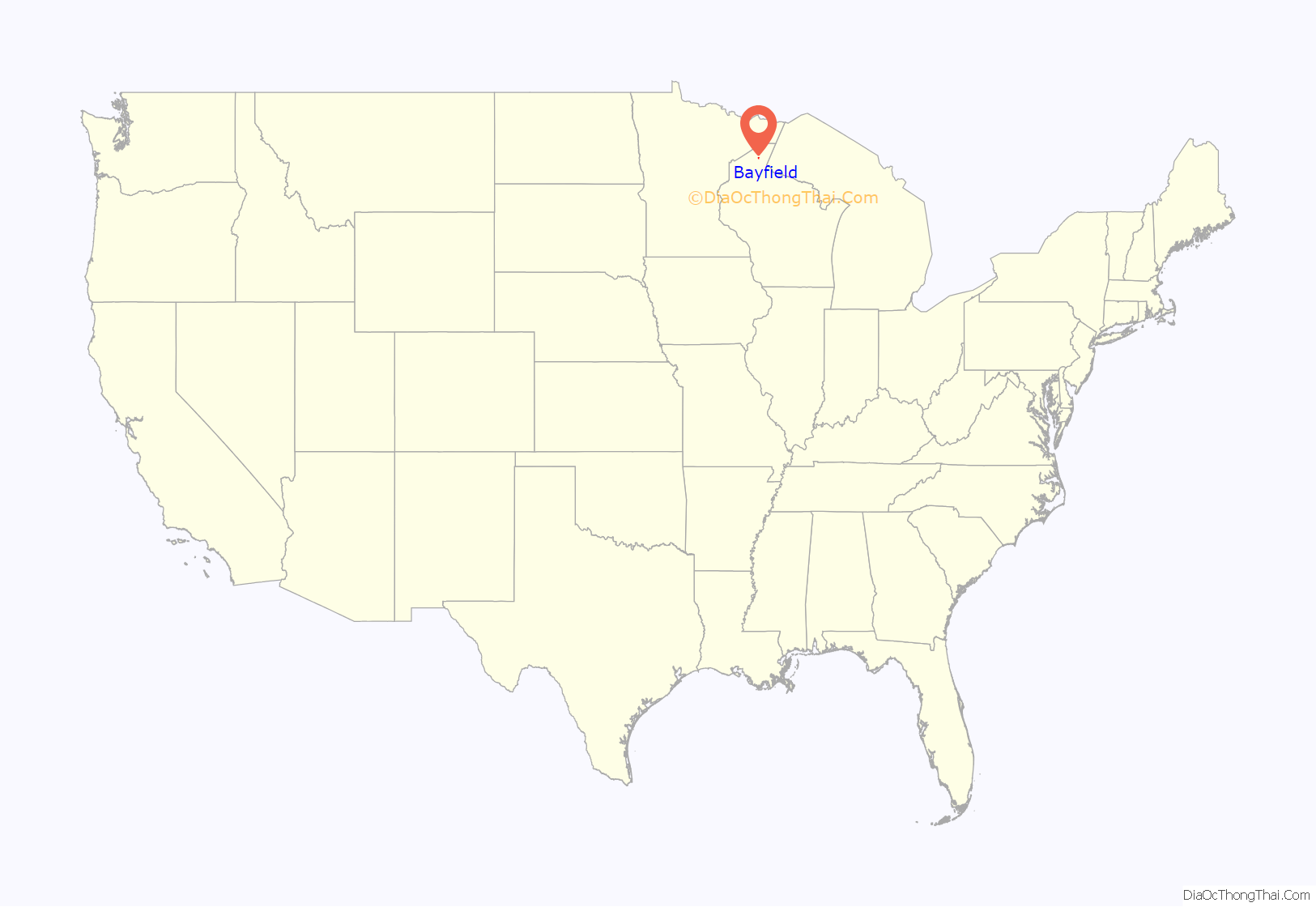
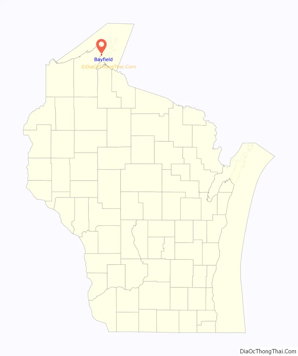
Bayfield location map. Where is Bayfield city?
History
Bayfield was named in 1856 for Henry Bayfield, a British Royal Topographic Engineer who explored the region in 1822–23. A post office has been in operation at Bayfield since 1856.
Bayfield Road Map
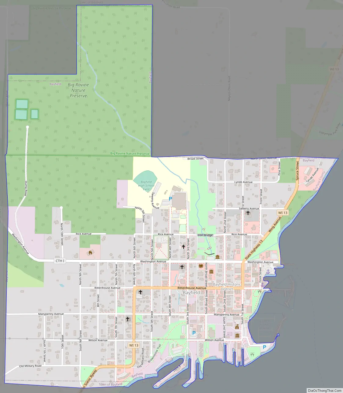
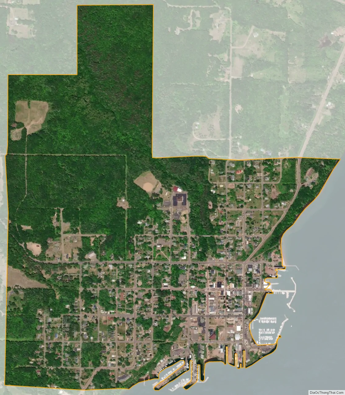
Bayfield city Satellite Map
Geography
Bayfield is located at 46°48.7′N 90°49.2′W / 46.8117°N 90.8200°W / 46.8117; -90.8200 (46.8115, -90.8203).
According to the United States Census Bureau, the city has a total area of 0.87 square miles (2.25 km), of which, 0.86 square miles (2.23 km) is land and 0.01 square miles (0.03 km) is water.
Bayfield is the main gateway to the Apostle Islands National Lakeshore, a group of 21 islands in Lake Superior. Madeline Island is the largest of the Apostle Islands and the only one not in the National Lakeshore. A ferry to Madeline Island links Bayfield with La Pointe, Wisconsin, a community on the island.
Climate
See also
Map of Wisconsin State and its subdivision:- Adams
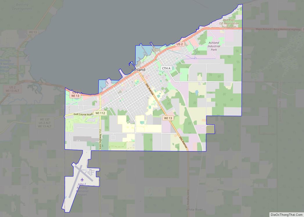
- Ashland
- Barron
- Bayfield
- Brown
- Buffalo
- Burnett
- Calumet
- Chippewa
- Clark
- Columbia
- Crawford
- Dane
- Dodge
- Door
- Douglas
- Dunn
- Eau Claire
- Florence
- Fond du Lac
- Forest
- Grant
- Green
- Green Lake
- Iowa
- Iron
- Jackson
- Jefferson
- Juneau
- Kenosha
- Kewaunee
- La Crosse
- Lafayette
- Lake Michigan
- Lake Superior
- Langlade
- Lincoln
- Manitowoc
- Marathon
- Marinette
- Marquette
- Menominee
- Milwaukee
- Monroe
- Oconto
- Oneida
- Outagamie
- Ozaukee
- Pepin
- Pierce
- Polk
- Portage
- Price
- Racine
- Richland
- Rock
- Rusk
- Saint Croix
- Sauk
- Sawyer
- Shawano
- Sheboygan
- Taylor
- Trempealeau
- Vernon
- Vilas
- Walworth
- Washburn
- Washington
- Waukesha
- Waupaca
- Waushara
- Winnebago
- Wood
- Alabama
- Alaska
- Arizona
- Arkansas
- California
- Colorado
- Connecticut
- Delaware
- District of Columbia
- Florida
- Georgia
- Hawaii
- Idaho
- Illinois
- Indiana
- Iowa
- Kansas
- Kentucky
- Louisiana
- Maine
- Maryland
- Massachusetts
- Michigan
- Minnesota
- Mississippi
- Missouri
- Montana
- Nebraska
- Nevada
- New Hampshire
- New Jersey
- New Mexico
- New York
- North Carolina
- North Dakota
- Ohio
- Oklahoma
- Oregon
- Pennsylvania
- Rhode Island
- South Carolina
- South Dakota
- Tennessee
- Texas
- Utah
- Vermont
- Virginia
- Washington
- West Virginia
- Wisconsin
- Wyoming