Benton is a town in Lafayette County, Wisconsin, United States. The population was 504 at the 2010 census, up from 469 at the 2000 census. The village of Benton is located within the town. The unincorporated communities of Jenkinsville and Strawbridge are also located in the town.
| Name: | Benton village |
|---|---|
| LSAD Code: | 47 |
| LSAD Description: | village (suffix) |
| State: | Wisconsin |
| County: | Lafayette County |
| Elevation: | 910 ft (280 m) |
| Total Area: | 28.00 sq mi (72.52 km²) |
| Land Area: | 28.00 sq mi (72.52 km²) |
| Water Area: | 0.0 sq mi (0.0 km²) |
| Total Population: | 504 |
| Population Density: | 18/sq mi (7.0/km²) |
| Area code: | 608 |
| FIPS code: | 5506825 |
| GNISfeature ID: | 1582796 |
Online Interactive Map
Click on ![]() to view map in "full screen" mode.
to view map in "full screen" mode.
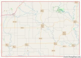
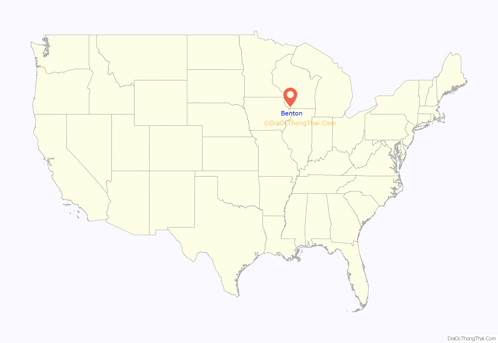
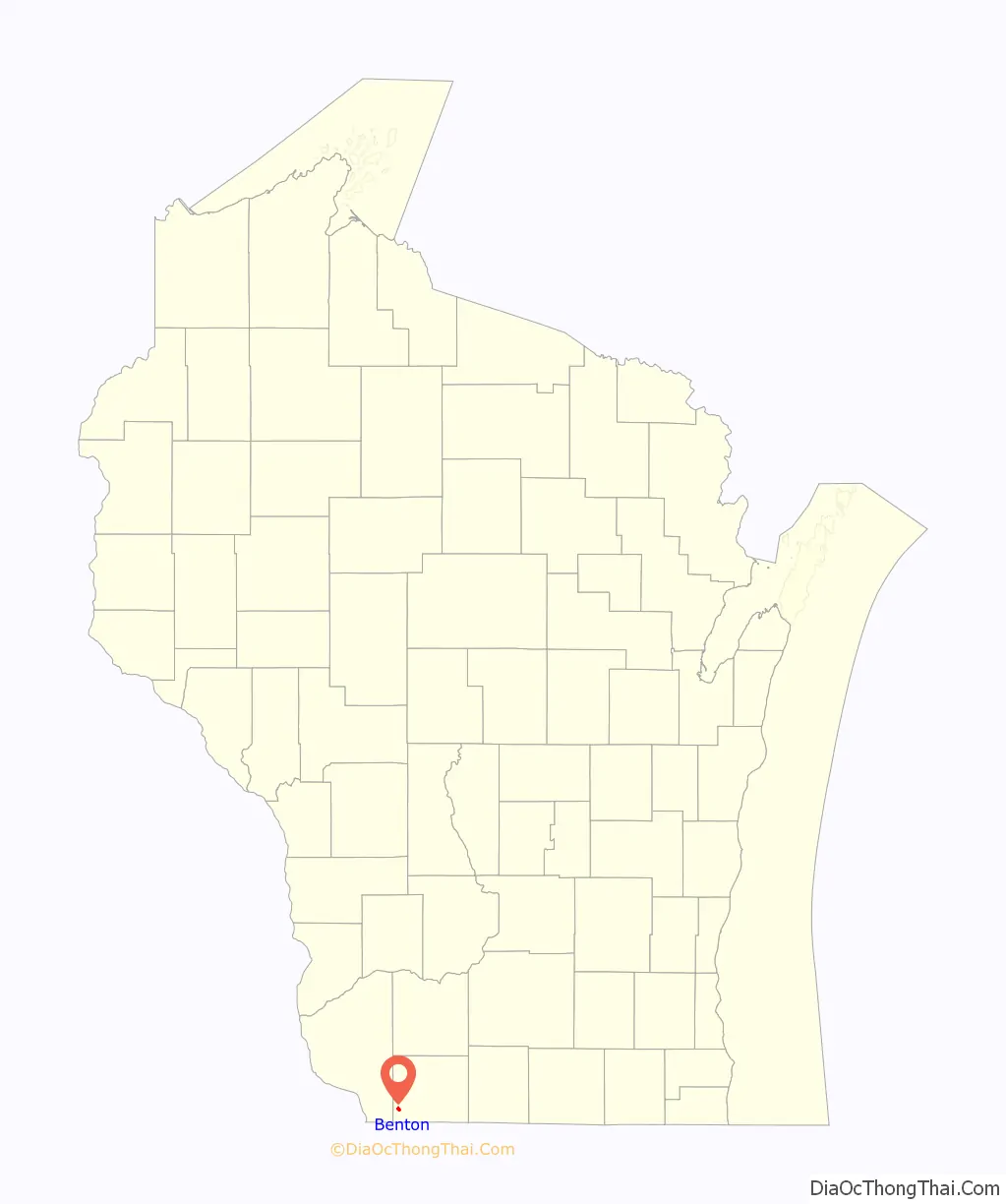
Benton location map. Where is Benton village?
History
Before the town of Benton was settled, Indians of the Pottawatomie and Winnebago tribes would pass through its modern boundaries. American Indians were also the first to discover the rich lead deposits located in the area, which is part of the Driftless Area, in what is now southwestern Wisconsin. As Europeans moved through the region, the American Indians of the area introduced them to the rich mineral deposits that would later draw them to the region en masse.
Though Europeans passed through and visited the region, threats from the Indians kept the area from being permanently settled until Andrew Murphy, along with his wife Catherine, five sons, a French voyageur named Francois and a servant named Peggy, established a homestead in the area that is now the town of Benton in 1827. Though no one settled for several years after the Murphy party, the relative safety after the conclusion of the Black Hawk War and the prosperity promised by the rich lead deposits brought large numbers of settlers.
Benton continued to grow and prosper, as the need for lead during the Civil War helped Benton recover from the Panic of 1857. Agriculture, too, fueled Benton’s economy, and by the end of the 19th century Benton was home to three churches, four general stores, and many businesses.
Benton has long since moved from the extractive economy of mining to one based in agriculture and modern business.
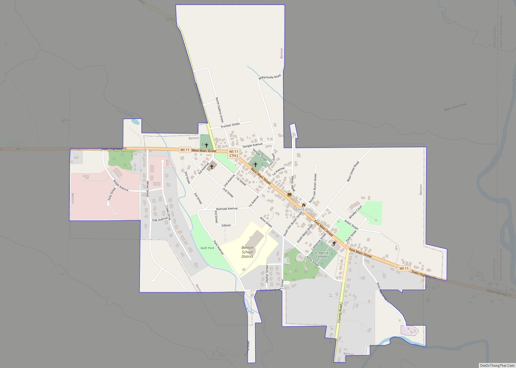
Benton Road Map
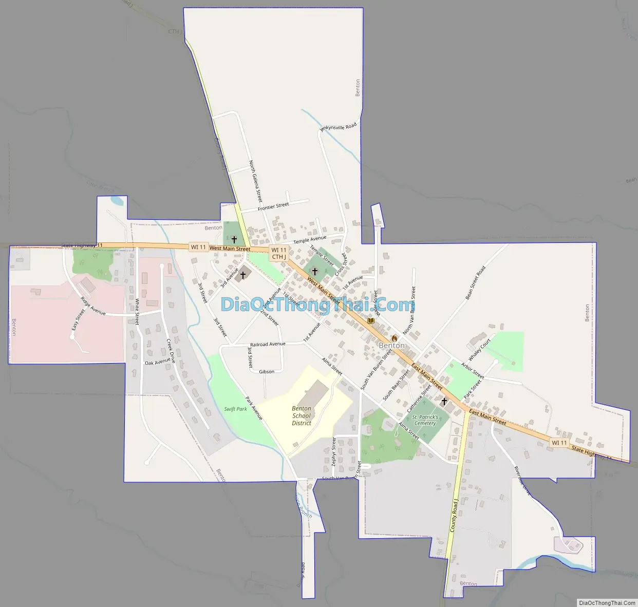
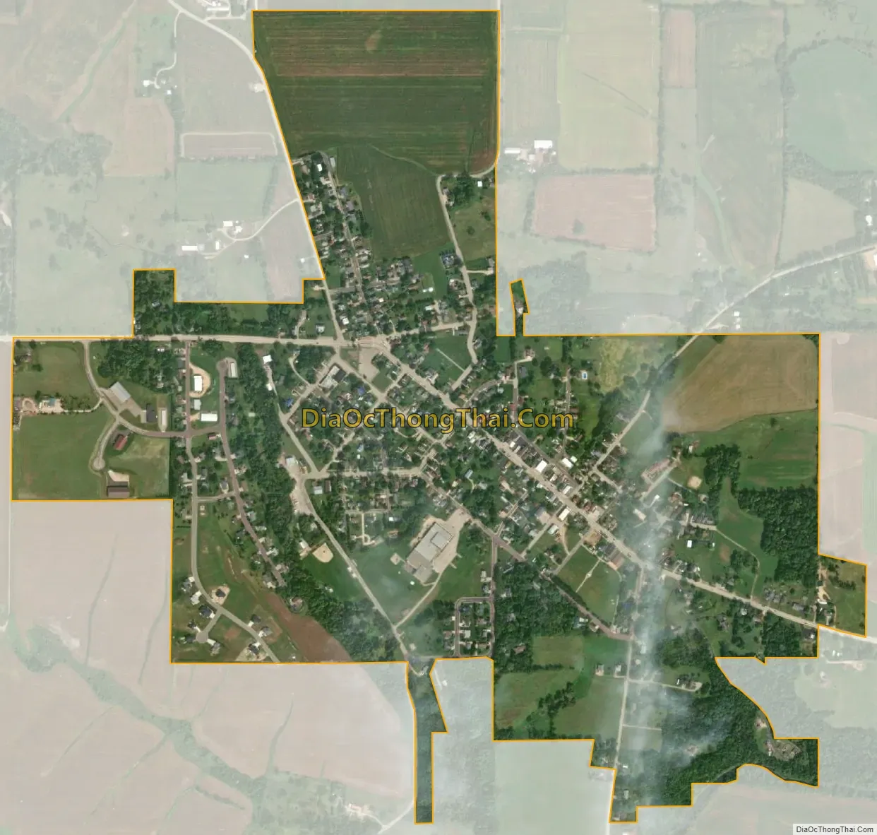
Benton city Satellite Map
Geography
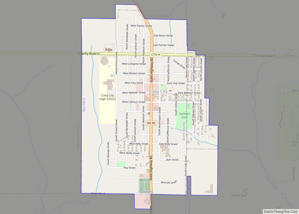
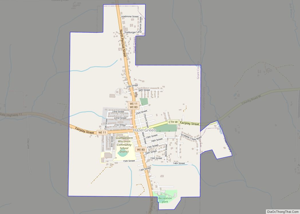
The town occupies the southwest corner of Lafayette County. Its southern border is the Illinois state line, and its western border is the Grant County line. The village of Benton is just east of the center of town. The city of Cuba City, primarily in Grant County, borders the town along the northern part of its western border, and the village of Hazel Green borders the town to the southwest.
According to the United States Census Bureau, the town has a total area of 28.0 square miles (72.5 km), all of it recorded as land. The town is drained by the Galena River, which flows just to the east but occasionally curves into the town. The Galena is a south-flowing tributary of the Mississippi River.
See also
Map of Wisconsin State and its subdivision:- Adams
- Ashland
- Barron
- Bayfield
- Brown
- Buffalo
- Burnett
- Calumet
- Chippewa
- Clark
- Columbia
- Crawford
- Dane
- Dodge
- Door
- Douglas
- Dunn
- Eau Claire
- Florence
- Fond du Lac
- Forest
- Grant
- Green
- Green Lake
- Iowa
- Iron
- Jackson
- Jefferson
- Juneau
- Kenosha
- Kewaunee
- La Crosse
- Lafayette
- Lake Michigan
- Lake Superior
- Langlade
- Lincoln
- Manitowoc
- Marathon
- Marinette
- Marquette
- Menominee
- Milwaukee
- Monroe
- Oconto
- Oneida
- Outagamie
- Ozaukee
- Pepin
- Pierce
- Polk
- Portage
- Price
- Racine
- Richland
- Rock
- Rusk
- Saint Croix
- Sauk
- Sawyer
- Shawano
- Sheboygan
- Taylor
- Trempealeau
- Vernon
- Vilas
- Walworth
- Washburn
- Washington
- Waukesha
- Waupaca
- Waushara
- Winnebago
- Wood
- Alabama
- Alaska
- Arizona
- Arkansas
- California
- Colorado
- Connecticut
- Delaware
- District of Columbia
- Florida
- Georgia
- Hawaii
- Idaho
- Illinois
- Indiana
- Iowa
- Kansas
- Kentucky
- Louisiana
- Maine
- Maryland
- Massachusetts
- Michigan
- Minnesota
- Mississippi
- Missouri
- Montana
- Nebraska
- Nevada
- New Hampshire
- New Jersey
- New Mexico
- New York
- North Carolina
- North Dakota
- Ohio
- Oklahoma
- Oregon
- Pennsylvania
- Rhode Island
- South Carolina
- South Dakota
- Tennessee
- Texas
- Utah
- Vermont
- Virginia
- Washington
- West Virginia
- Wisconsin
- Wyoming