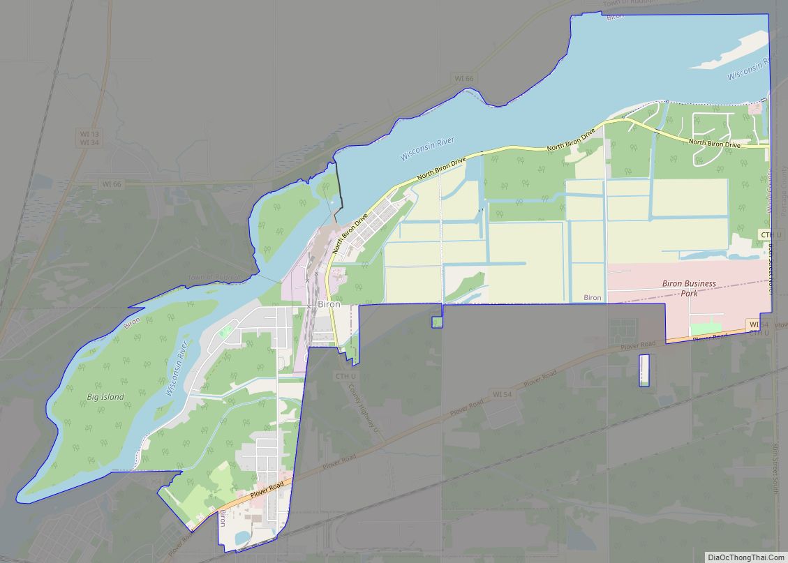
Biron is a village in Wood County, Wisconsin, United States. The population was 839 at the 2010 census. It is the site of ND Paper’s Biron Mill.
| Name: | Biron village |
|---|---|
| LSAD Code: | 47 |
| LSAD Description: | village (suffix) |
| State: | Wisconsin |
| County: | Wood County |
| Elevation: | 1,024 ft (312 m) |
| Total Area: | 6.28 sq mi (16.26 km²) |
| Land Area: | 4.64 sq mi (12.01 km²) |
| Water Area: | 1.64 sq mi (4.26 km²) |
| Total Population: | 839 |
| Population Density: | 166.52/sq mi (64.29/km²) |
| FIPS code: | 5507650 |
| GNISfeature ID: | 1561824 |
| Website: | http://www.bironwisconsin.org |
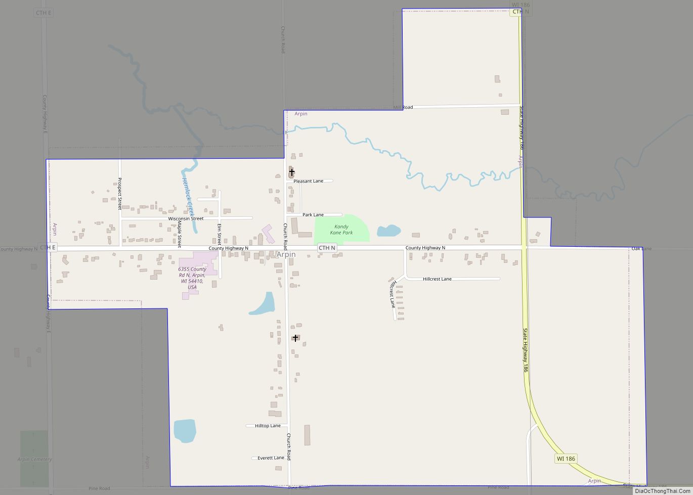
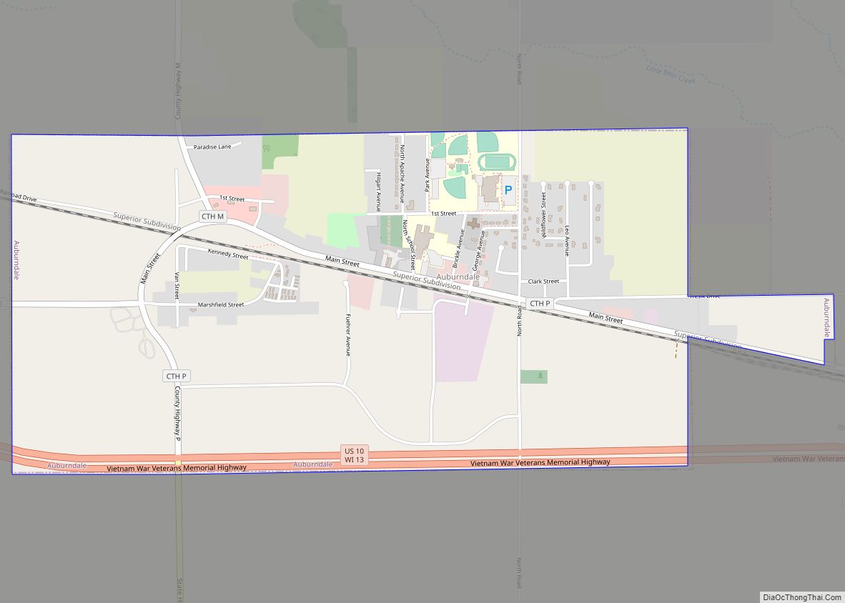
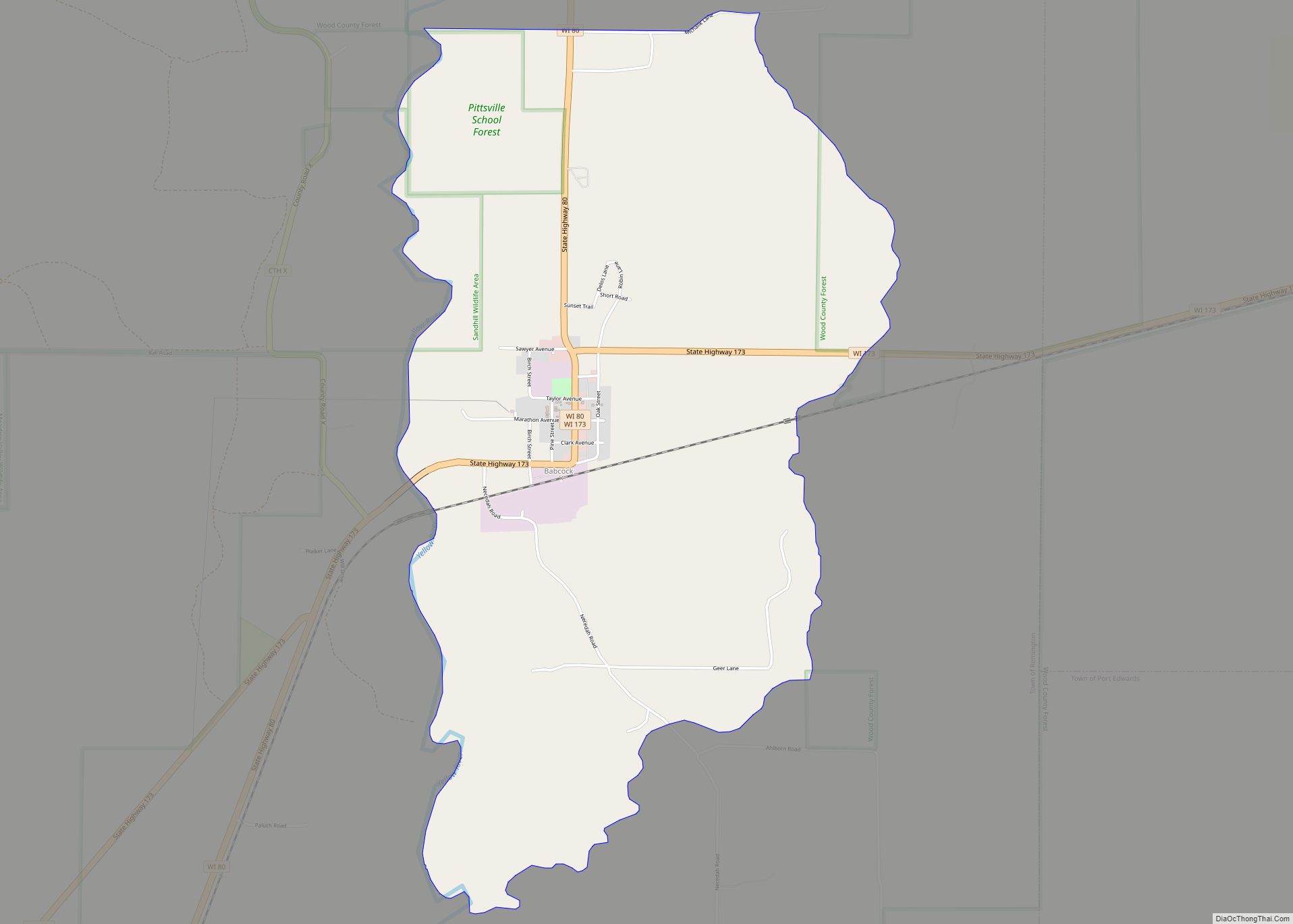
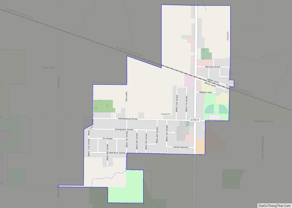
Online Interactive Map
Click on ![]() to view map in "full screen" mode.
to view map in "full screen" mode.
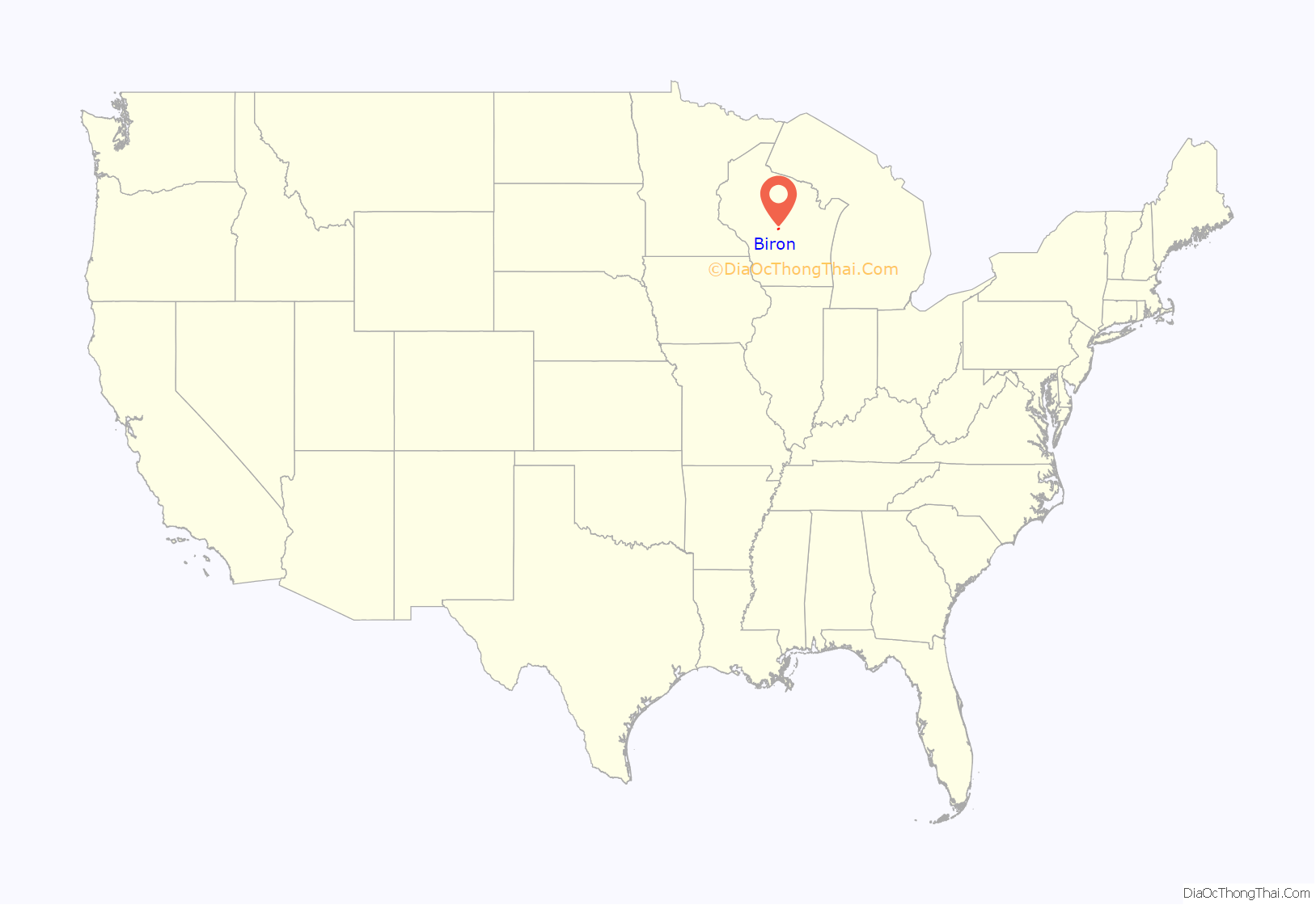
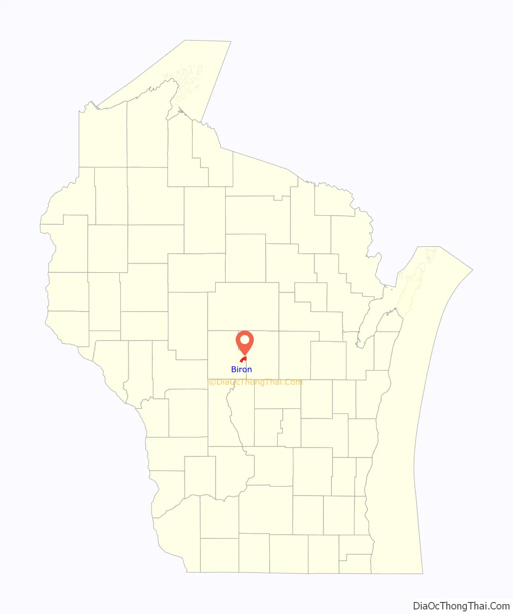
Biron location map. Where is Biron village?
History
The first settlement in Biron was a sawmill that was built in 1839. Francis X. Biron, formerly of Quebec, purchased the mill in 1846. The village was platted in 1896 and incorporated in 1910. The town name is a phonetically analogous rendering of German “Bayern”, referring to Bavaria.
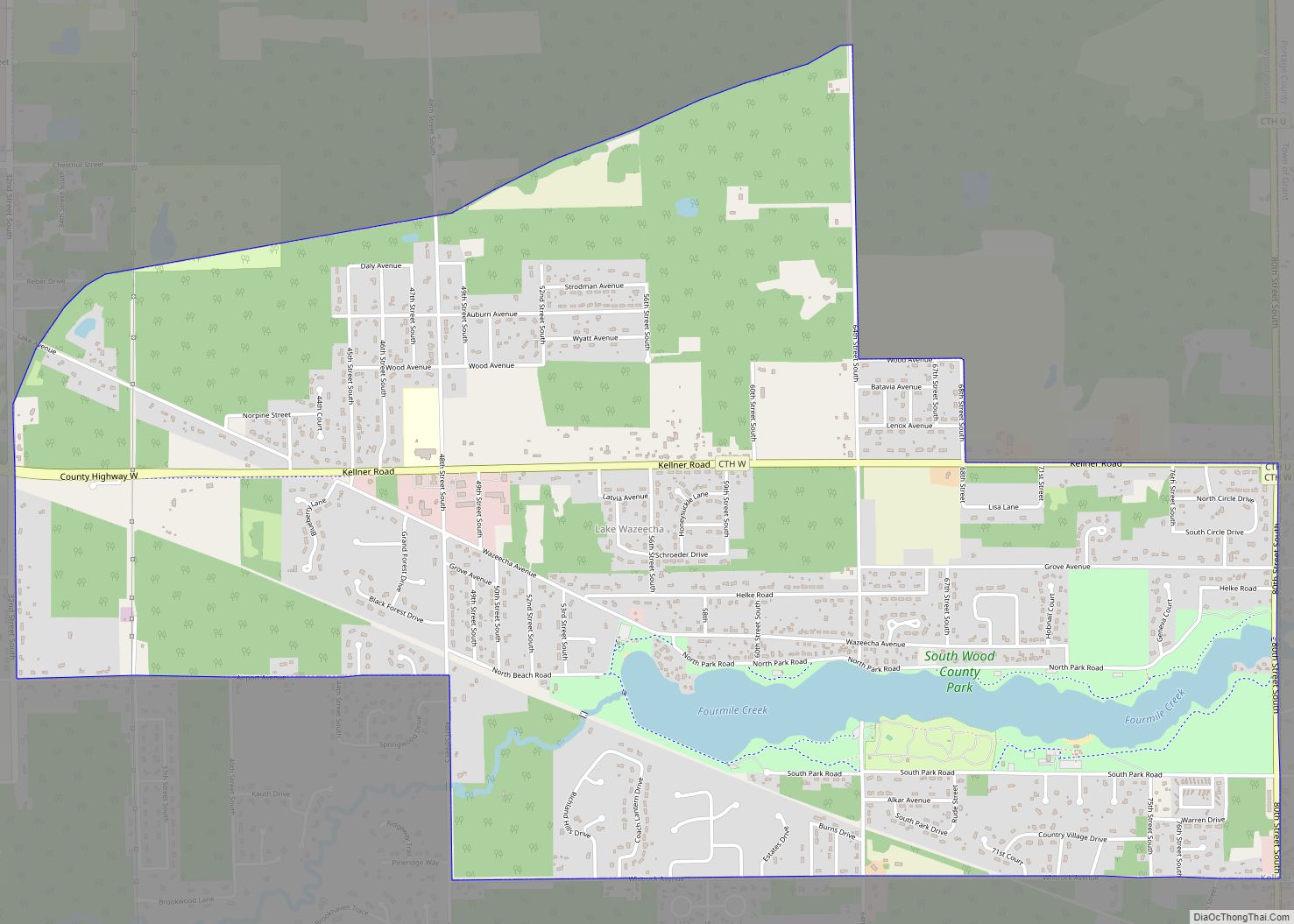
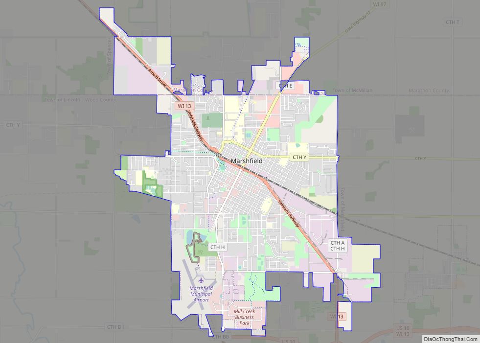
Biron Road Map
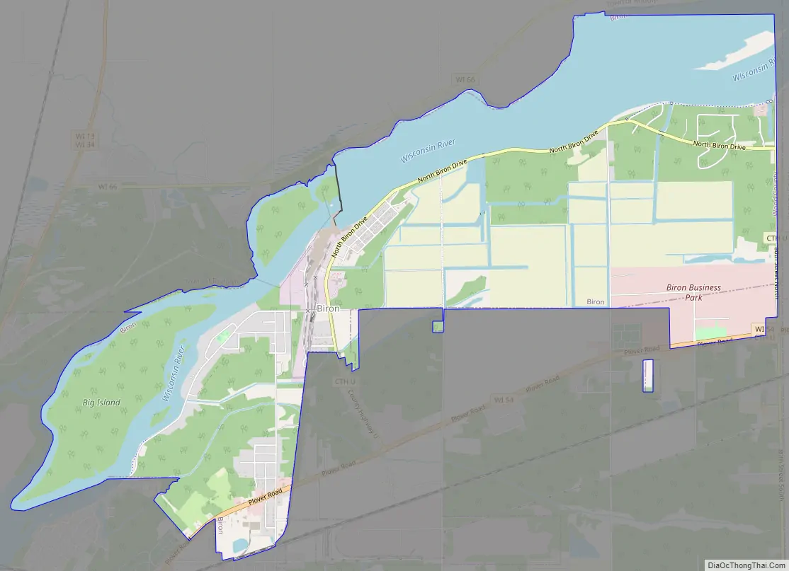
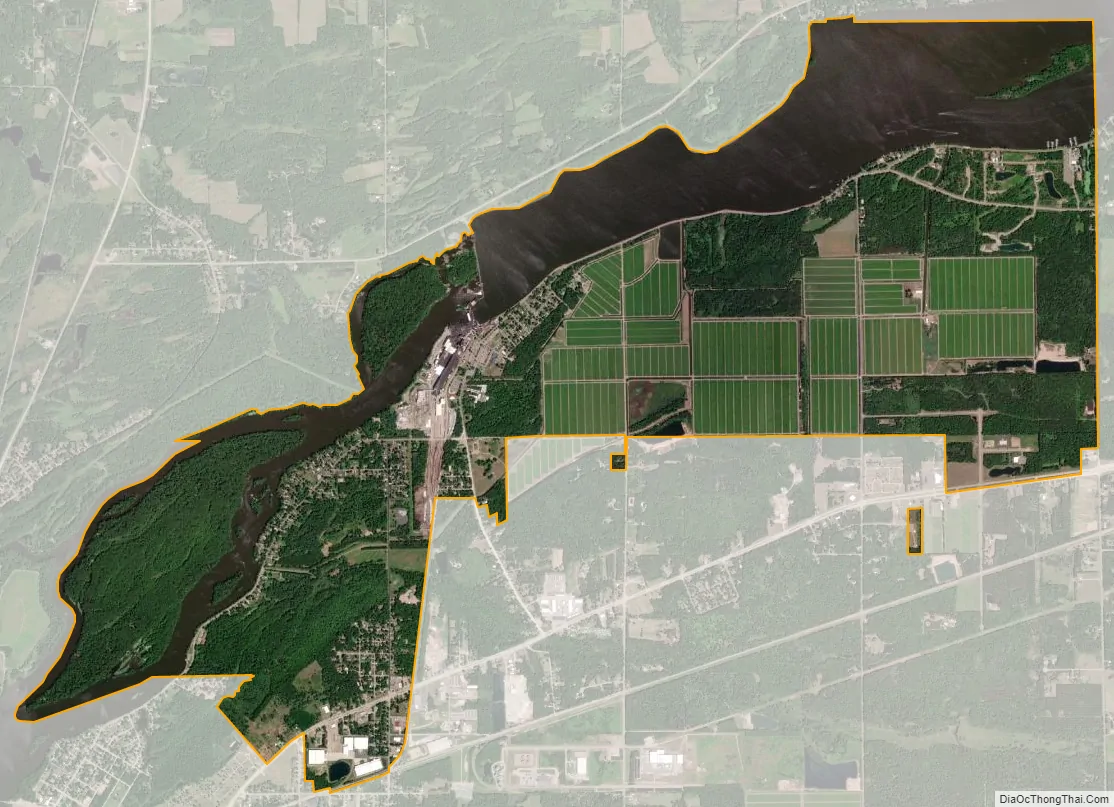
Biron city Satellite Map
Geography
Biron is located at 44°25′21″N 89°46′44″W / 44.42250°N 89.77889°W / 44.42250; -89.77889 (44.422492, -89.778792).
According to the United States Census Bureau, the village has a total area of 6.40 square miles (16.58 km), of which, 4.66 square miles (12.07 km) of it is land and 1.74 square miles (4.51 km) is water.
See also
Map of Wisconsin State and its subdivision:- Adams
- Ashland
- Barron
- Bayfield
- Brown
- Buffalo
- Burnett
- Calumet
- Chippewa
- Clark
- Columbia
- Crawford
- Dane
- Dodge
- Door
- Douglas
- Dunn
- Eau Claire
- Florence
- Fond du Lac
- Forest
- Grant
- Green
- Green Lake
- Iowa
- Iron
- Jackson
- Jefferson
- Juneau
- Kenosha
- Kewaunee
- La Crosse
- Lafayette
- Lake Michigan
- Lake Superior
- Langlade
- Lincoln
- Manitowoc
- Marathon
- Marinette
- Marquette
- Menominee
- Milwaukee
- Monroe
- Oconto
- Oneida
- Outagamie
- Ozaukee
- Pepin
- Pierce
- Polk
- Portage
- Price
- Racine
- Richland
- Rock
- Rusk
- Saint Croix
- Sauk
- Sawyer
- Shawano
- Sheboygan
- Taylor
- Trempealeau
- Vernon
- Vilas
- Walworth
- Washburn
- Washington
- Waukesha
- Waupaca
- Waushara
- Winnebago
- Wood
- Alabama
- Alaska
- Arizona
- Arkansas
- California
- Colorado
- Connecticut
- Delaware
- District of Columbia
- Florida
- Georgia
- Hawaii
- Idaho
- Illinois
- Indiana
- Iowa
- Kansas
- Kentucky
- Louisiana
- Maine
- Maryland
- Massachusetts
- Michigan
- Minnesota
- Mississippi
- Missouri
- Montana
- Nebraska
- Nevada
- New Hampshire
- New Jersey
- New Mexico
- New York
- North Carolina
- North Dakota
- Ohio
- Oklahoma
- Oregon
- Pennsylvania
- Rhode Island
- South Carolina
- South Dakota
- Tennessee
- Texas
- Utah
- Vermont
- Virginia
- Washington
- West Virginia
- Wisconsin
- Wyoming