Nekoosa is a city in Wood County, Wisconsin, United States. Its name derives from the Ho-Chunk word, “Nįįkuusra”, “Nakrusa”, or “Nįkusara” which translates to “running water”. The population was 2,580 at the 2010 census.
| Name: | Nekoosa city |
|---|---|
| LSAD Code: | 25 |
| LSAD Description: | city (suffix) |
| State: | Wisconsin |
| County: | Wood County |
| Elevation: | 951 ft (290 m) |
| Total Area: | 3.40 sq mi (8.81 km²) |
| Land Area: | 3.39 sq mi (8.79 km²) |
| Water Area: | 0.01 sq mi (0.03 km²) |
| Total Population: | 2,580 |
| Population Density: | 713.82/sq mi (275.61/km²) |
| ZIP code: | 54457 |
| Area code: | 715 & 534 |
| FIPS code: | 5555875 |
| GNISfeature ID: | 1570148 |
| Website: | www.cityofnekoosa.org/index.php |
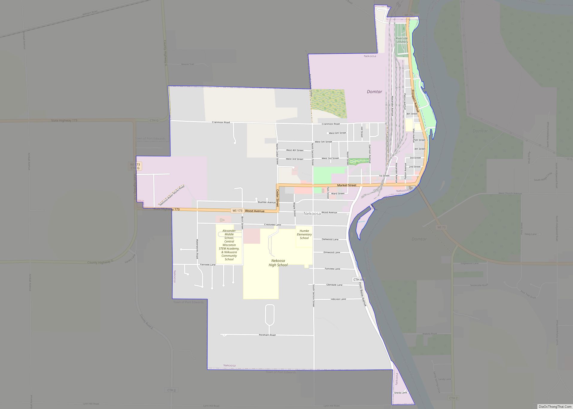
Online Interactive Map
Click on ![]() to view map in "full screen" mode.
to view map in "full screen" mode.
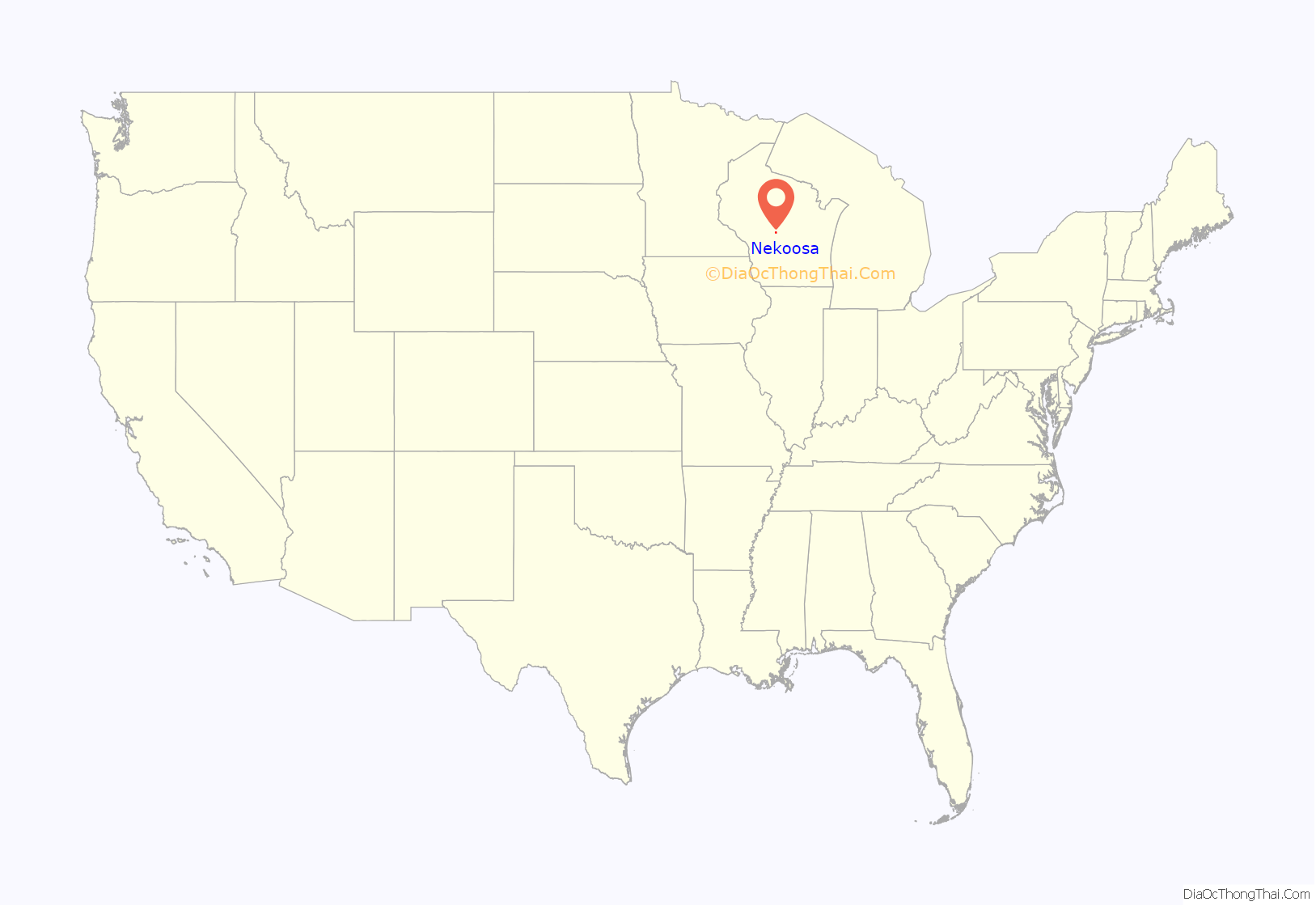
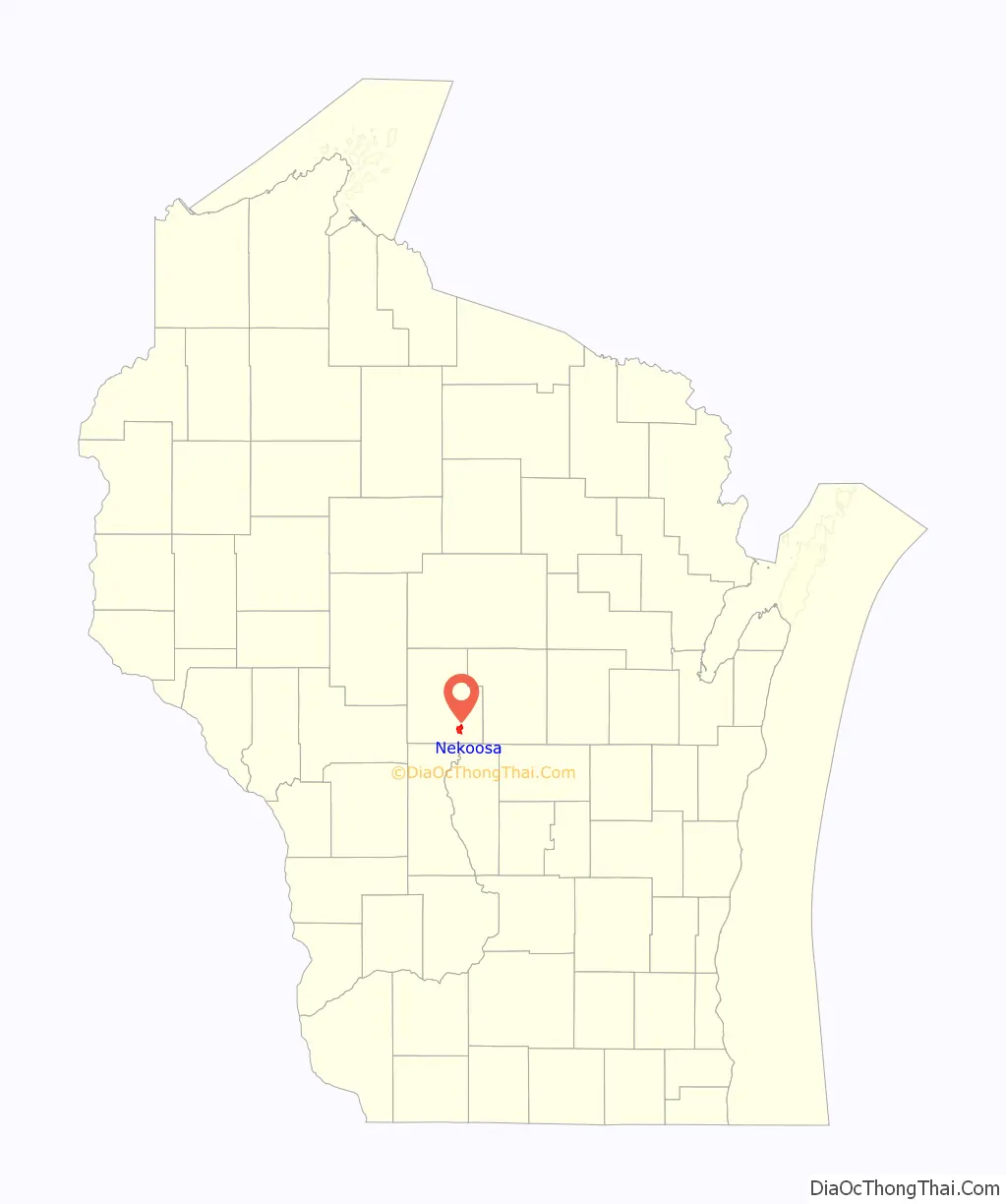
Nekoosa location map. Where is Nekoosa city?
History
An article dated March 16, 1916 from the long defunct newspaper The Nekoosa Tribune detailing the early history of Nekoosa may be found at the Wisconsin Historical Society web site. It is a letter written by a resident to Nekoosa High School students to support them writing a history term paper.
Point Basse
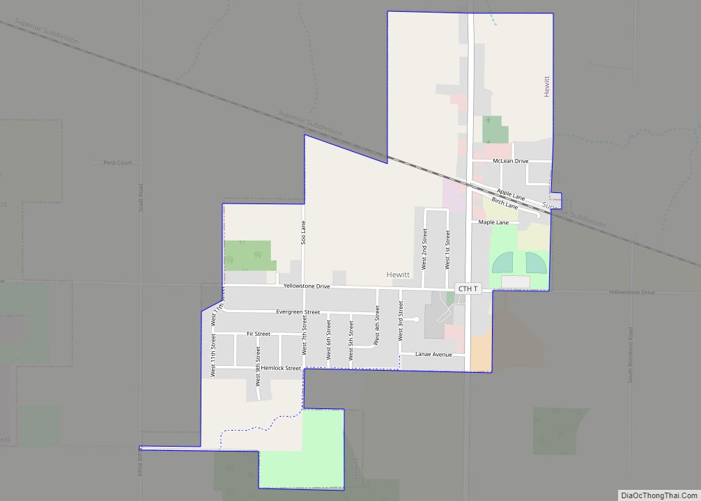
Nekoosa Road Map
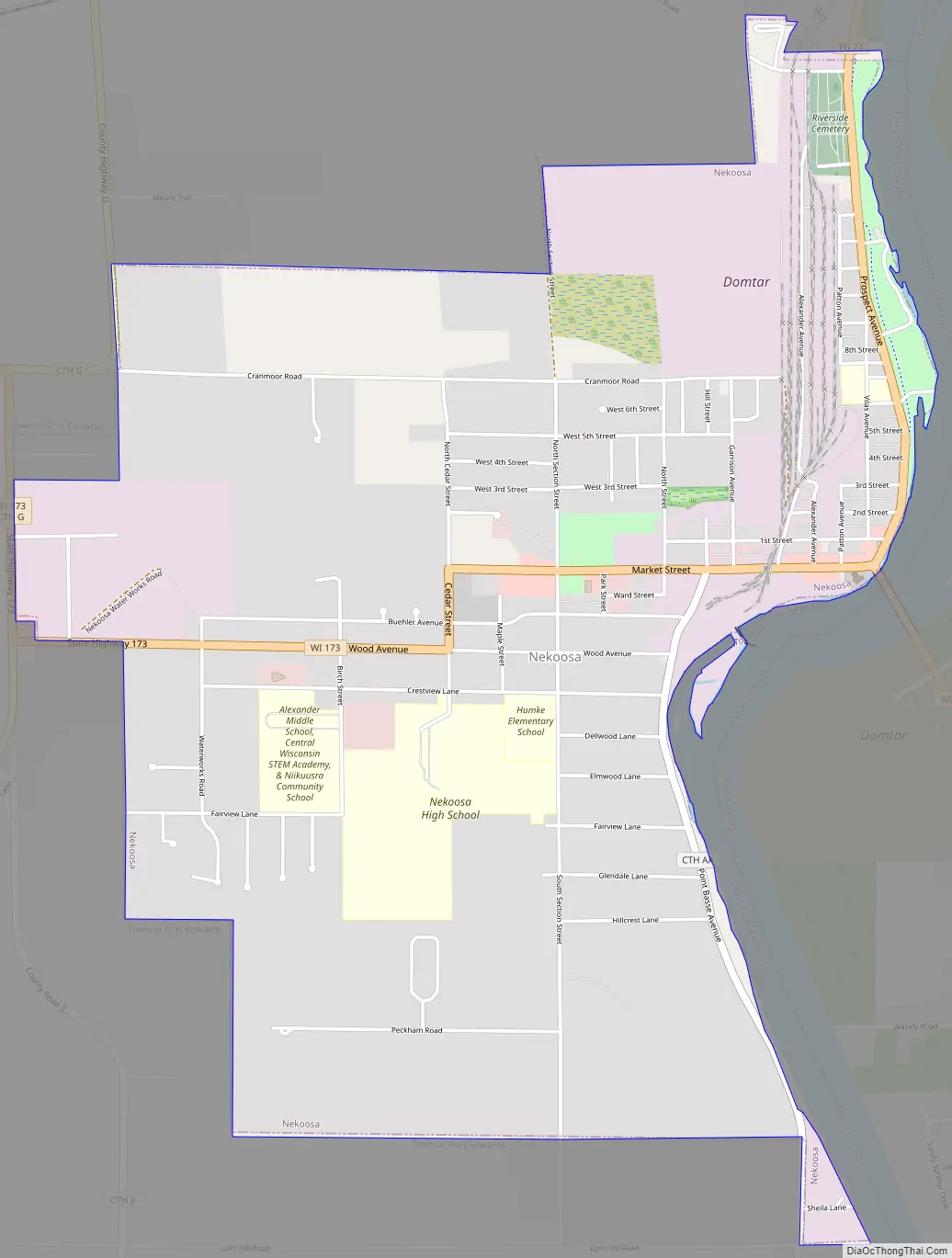
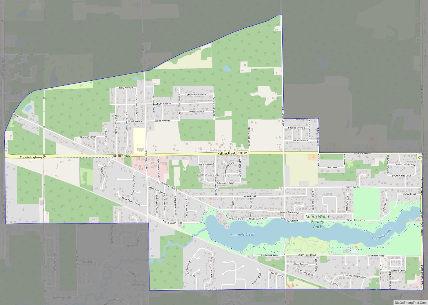
Nekoosa city Satellite Map

Geography
Nekoosa is located at 44°19′09″N 89°54′00″W / 44.319081°N 89.899937°W / 44.319081; -89.899937 (44.319081, -89.899937).
According to the United States Census Bureau, the city has a total area of 3.39 square miles (8.78 km), of which, 3.38 square miles (8.75 km) is land and 0.01 square miles (0.03 km) is water.
See also
Map of Wisconsin State and its subdivision:- Adams
- Ashland
- Barron
- Bayfield
- Brown
- Buffalo
- Burnett
- Calumet
- Chippewa
- Clark
- Columbia
- Crawford
- Dane
- Dodge
- Door
- Douglas
- Dunn
- Eau Claire
- Florence
- Fond du Lac
- Forest
- Grant
- Green
- Green Lake
- Iowa
- Iron
- Jackson
- Jefferson
- Juneau
- Kenosha
- Kewaunee
- La Crosse
- Lafayette
- Lake Michigan
- Lake Superior
- Langlade
- Lincoln
- Manitowoc
- Marathon
- Marinette
- Marquette
- Menominee
- Milwaukee
- Monroe
- Oconto
- Oneida
- Outagamie
- Ozaukee
- Pepin
- Pierce
- Polk
- Portage
- Price
- Racine
- Richland
- Rock
- Rusk
- Saint Croix
- Sauk
- Sawyer
- Shawano
- Sheboygan
- Taylor
- Trempealeau
- Vernon
- Vilas
- Walworth
- Washburn
- Washington
- Waukesha
- Waupaca
- Waushara
- Winnebago
- Wood
- Alabama
- Alaska
- Arizona
- Arkansas
- California
- Colorado
- Connecticut
- Delaware
- District of Columbia
- Florida
- Georgia
- Hawaii
- Idaho
- Illinois
- Indiana
- Iowa
- Kansas
- Kentucky
- Louisiana
- Maine
- Maryland
- Massachusetts
- Michigan
- Minnesota
- Mississippi
- Missouri
- Montana
- Nebraska
- Nevada
- New Hampshire
- New Jersey
- New Mexico
- New York
- North Carolina
- North Dakota
- Ohio
- Oklahoma
- Oregon
- Pennsylvania
- Rhode Island
- South Carolina
- South Dakota
- Tennessee
- Texas
- Utah
- Vermont
- Virginia
- Washington
- West Virginia
- Wisconsin
- Wyoming