Bristol is a village in Kenosha County, Wisconsin, United States. It was incorporated in 2009 from portions of the Town of Bristol. The population was 5,192 at the 2020 census, more than double the 2010 census population of 2,584. The former unincorporated communities of Bissell, Cypress, Pikeville, and Woodworth are located in the village.
| Name: | Bristol village |
|---|---|
| LSAD Code: | 47 |
| LSAD Description: | village (suffix) |
| State: | Wisconsin |
| County: | Kenosha County |
| Elevation: | 778 ft (237 m) |
| Total Area: | 33.06 sq mi (85.63 km²) |
| Land Area: | 32.70 sq mi (84.70 km²) |
| Water Area: | 0.36 sq mi (0.93 km²) |
| Total Population: | 5,192 |
| Population Density: | 157.23/sq mi (60.71/km²) |
| ZIP code: | 53104 |
| Area code: | 262 |
| FIPS code: | 5509800 |
| GNISfeature ID: | 1562217 |
Online Interactive Map
Click on ![]() to view map in "full screen" mode.
to view map in "full screen" mode.
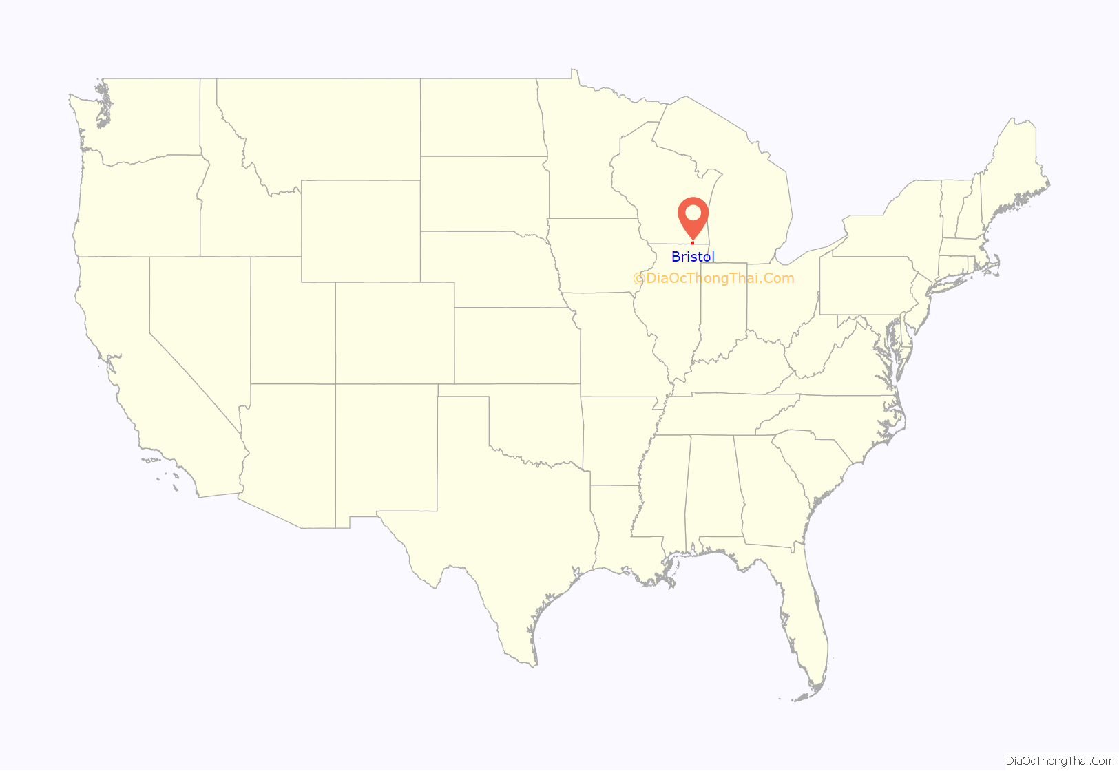
Bristol location map. Where is Bristol village?
History
The Bristol area’s first settler was Rollin Tuttle, who arrived in April 1830. The village was named in 1836 for two brothers, George and Lester Bristol.
The first Barnum circus to play in Wisconsin played in Bristol before the Civil War.
In November 2009, residents of the Town of Bristol living in the 9 square miles (23 km) of the northwest corner of the town voted to incorporate as a village. The incorporation became official on December 1, 2009, when a certificate of incorporation was issued by the Secretary of State of Wisconsin. The first elections for village officials took place on January 19, 2010.
In early January 2010, village officials approved filing a petition with the county court to hold a referendum on annexing the remainder of the Town of Bristol. On June 29, 2010, the village of Bristol voted to annex the remainder of the town of Bristol. The annexation took effect on July 4, 2010. A small section of the town was also annexed by the village of Pleasant Prairie.
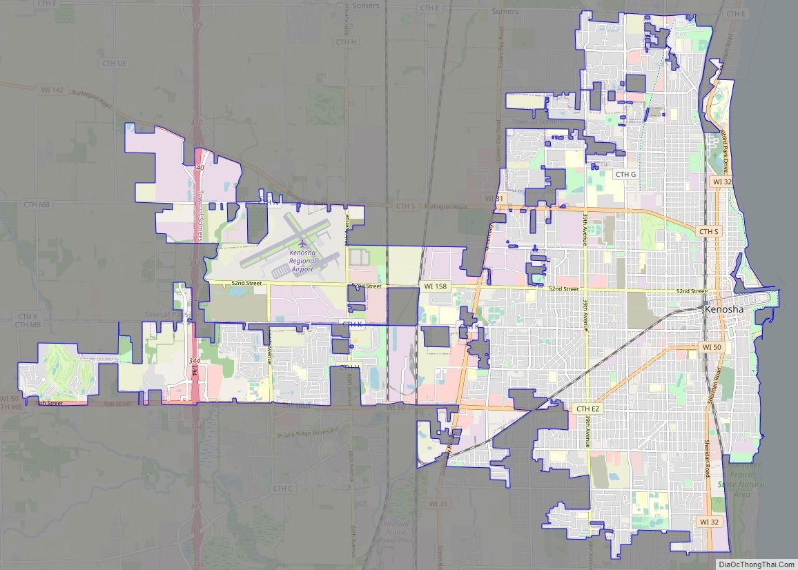
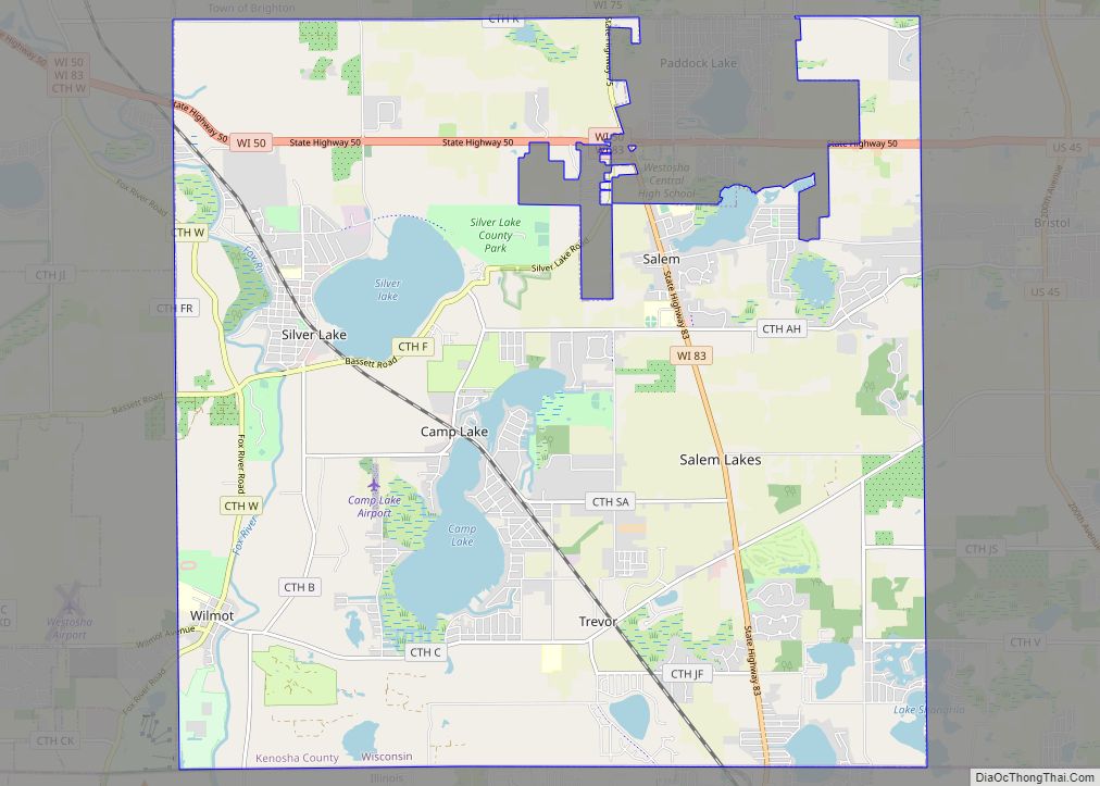
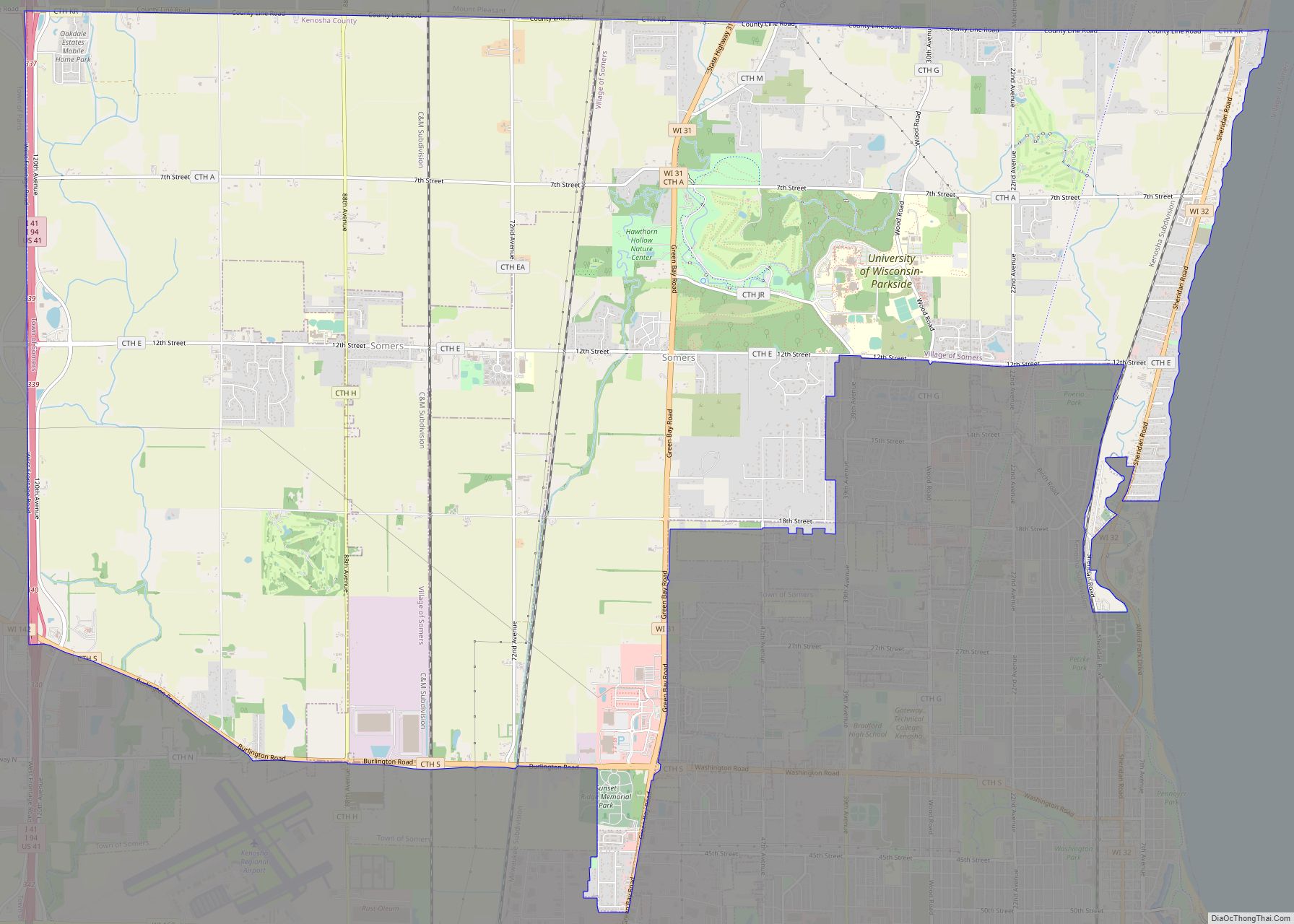
Bristol Road Map
Bristol city Satellite Map
Geography
According to the United States Census Bureau, the village has a total area of 9.03 square miles (23.39 km), of which, 8.91 square miles (23.08 km) of it is land and 0.12 square miles (0.31 km) is water.
Bristol has several residential neighborhoods:
Bissell
Bissell is located at the intersection of Kenosha County Highways C (Wilmot Road) and MB, just south of the residential neighborhood of Woodworth. A feed, flour, and coal business was a part of community life in 19th-century Bissell, especially after a U.S. post office was established within that building in 1893; however, the post office closed 16 months later.
Cypress
Cypress is a neighborhood flanking U.S. Highway 45 at 128th Street (Kenosha County Highway WG), just north of the Wisconsin-Illinois border. At the time it was settled, the village was named Hoadley, and had its own post office under that name.
Pikeville
Pikeville is a residential and agricultural community (originally named Pikeville Corners) named for three brothers surnamed Pike. It was settled around the one-room Pikeville School in the 19th century, however the school building is currently used as a restaurant: The Red School Cafe. It is centered along U.S. Route 45 at 116th Street (Kenosha County Highway V), approximately one mile north of the Wisconsin-Illinois border, on the eastern shore of Mud Lake.
Woodworth
Woodworth is located on Kenosha County Highway MB at 82nd Street. The Kenosha and Rockford Railroad (the “KD Line”) brought prosperity and activity to Woodworth, and a U.S. post office (ZIP Code 53194) is located there. By 1920, a large serum laboratory had been built in Woodworth. It provided wartime vaccines for troops and civilians. Woodworth’s rural appearance has been featured in at least one on-location television commercial, as well as in the 1999 movie, The Last Great Ride, starring Ernest Borgnine and Eileen Brennan.
See also
Map of Wisconsin State and its subdivision:- Adams
- Ashland
- Barron
- Bayfield
- Brown
- Buffalo
- Burnett
- Calumet
- Chippewa
- Clark
- Columbia
- Crawford
- Dane
- Dodge
- Door
- Douglas
- Dunn
- Eau Claire
- Florence
- Fond du Lac
- Forest
- Grant
- Green
- Green Lake
- Iowa
- Iron
- Jackson
- Jefferson
- Juneau
- Kenosha
- Kewaunee
- La Crosse
- Lafayette
- Lake Michigan
- Lake Superior
- Langlade
- Lincoln
- Manitowoc
- Marathon
- Marinette
- Marquette
- Menominee
- Milwaukee
- Monroe
- Oconto
- Oneida
- Outagamie
- Ozaukee
- Pepin
- Pierce
- Polk
- Portage
- Price
- Racine
- Richland
- Rock
- Rusk
- Saint Croix
- Sauk
- Sawyer
- Shawano
- Sheboygan
- Taylor
- Trempealeau
- Vernon
- Vilas
- Walworth
- Washburn
- Washington
- Waukesha
- Waupaca
- Waushara
- Winnebago
- Wood
- Alabama
- Alaska
- Arizona
- Arkansas
- California
- Colorado
- Connecticut
- Delaware
- District of Columbia
- Florida
- Georgia
- Hawaii
- Idaho
- Illinois
- Indiana
- Iowa
- Kansas
- Kentucky
- Louisiana
- Maine
- Maryland
- Massachusetts
- Michigan
- Minnesota
- Mississippi
- Missouri
- Montana
- Nebraska
- Nevada
- New Hampshire
- New Jersey
- New Mexico
- New York
- North Carolina
- North Dakota
- Ohio
- Oklahoma
- Oregon
- Pennsylvania
- Rhode Island
- South Carolina
- South Dakota
- Tennessee
- Texas
- Utah
- Vermont
- Virginia
- Washington
- West Virginia
- Wisconsin
- Wyoming
