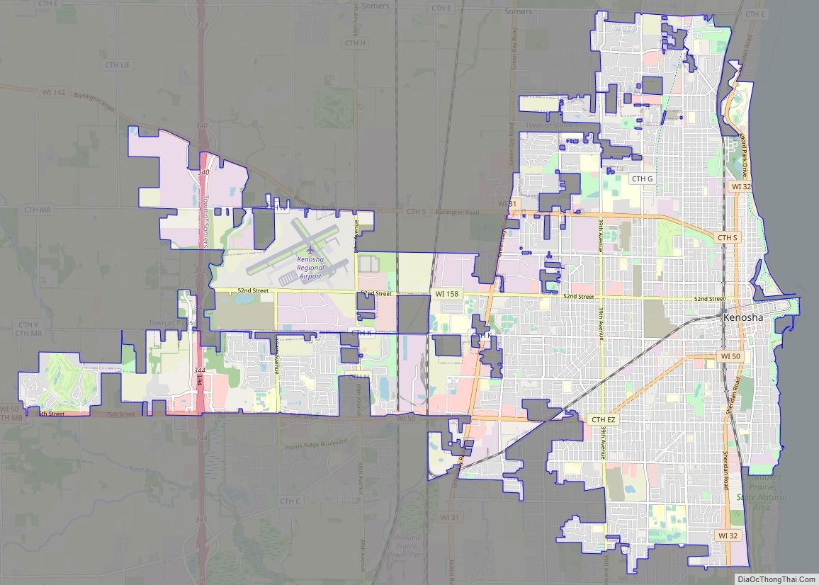
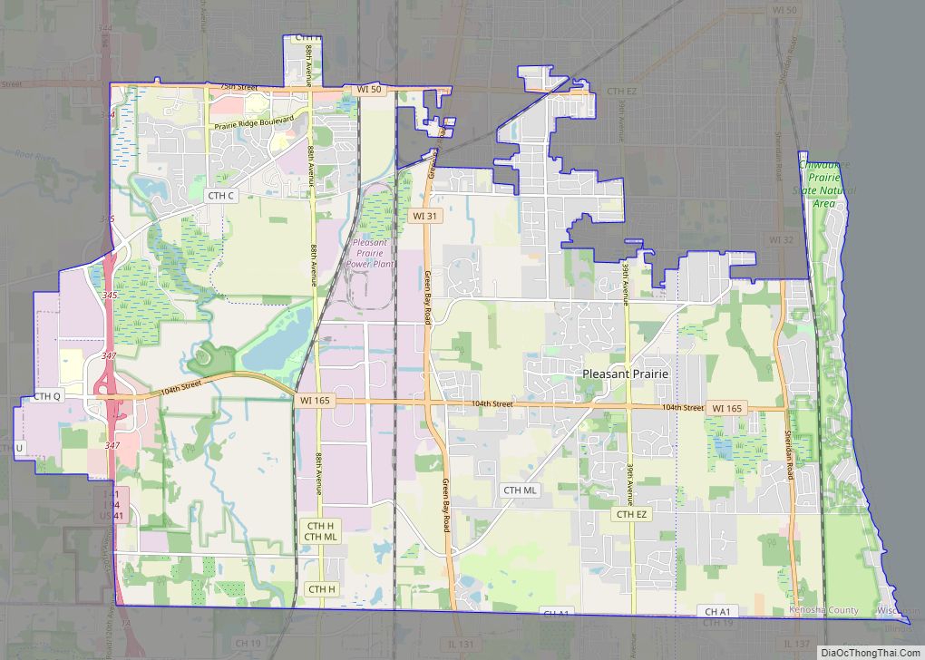
Pleasant Prairie is a village in the U.S. state of Wisconsin. Located in Kenosha County along the southwestern shoreline of Lake Michigan, Pleasant Prairie was home to 21,250 people at the 2020 census. The village is positioned directly south of the city of Kenosha and directly north of the Illinois border. Although located just 37 miles south of Milwaukee, it is part of the United States Census Bureau’s Chicago combined statistical area (CSA) and metropolitan statistical area despite being 57 miles north of that city. Among its notable features are the RecPlex and Chiwaukee Prairie.
| Name: | Pleasant Prairie village |
|---|---|
| LSAD Code: | 47 |
| LSAD Description: | village (suffix) |
| State: | Wisconsin |
| County: | Kenosha County |
| Elevation: | 696 ft (212 m) |
| Total Area: | 33.69 sq mi (87.25 km²) |
| Land Area: | 33.38 sq mi (86.45 km²) |
| Water Area: | 0.31 sq mi (0.80 km²) |
| Total Population: | 21,250 |
| Population Density: | 630.18/sq mi (243.31/km²) |
| ZIP code: | 53158 |
| Area code: | 262 |
| FIPS code: | 5563300 |
| GNISfeature ID: | 1583935 |
| Website: | pleasantprairiewi.gov |
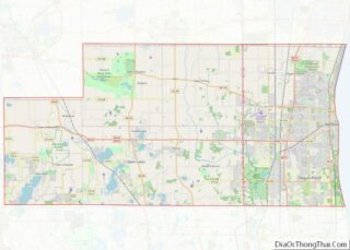
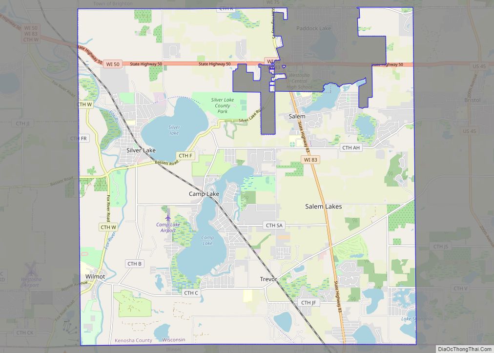
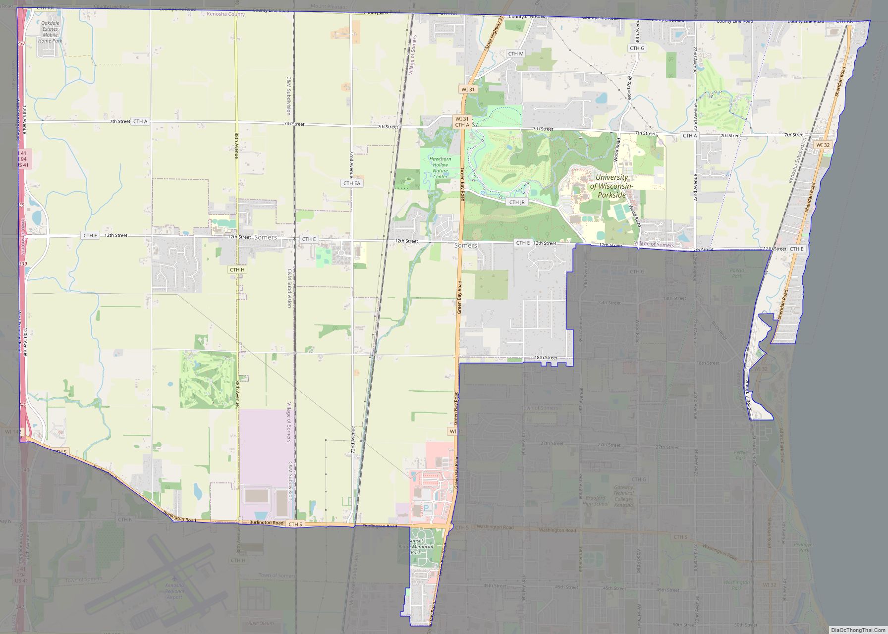
Online Interactive Map
Click on ![]() to view map in "full screen" mode.
to view map in "full screen" mode.
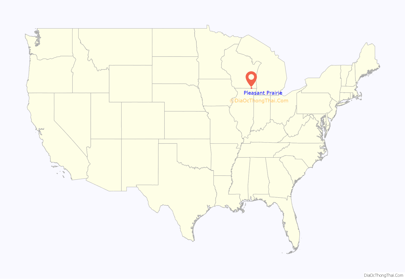
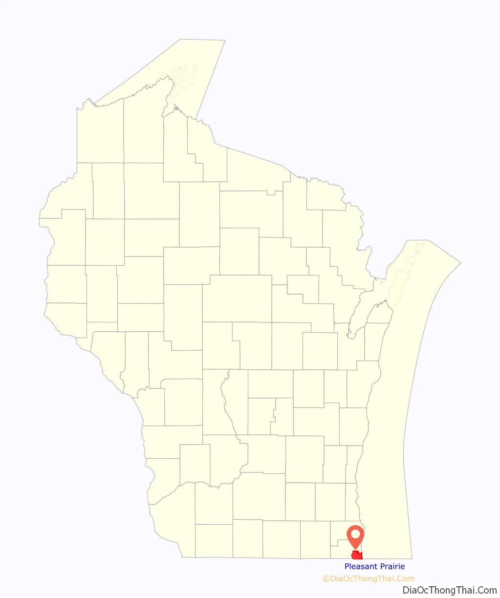
Pleasant Prairie location map. Where is Pleasant Prairie village?
History
The Pleasant Prairie area was the center of Native American activity in pre-pioneer Wisconsin. Some of the earliest traces of Native American life in Wisconsin have been found along State Highway 32 and State Highway 165, Barnes Creek, and in the Carol Beach area. These early Native American campsites were located along what was once the shoreline of Lake Michigan. Pleasant Prairie also saw pioneers arrive in Wisconsin on the Jambeau Trail (now known as Green Bay Road). In addition, several natural historic sites such as the Chiwaukee Prairie and the Kenosha Sand Dunes lie undisturbed in Pleasant Prairie.
Settlement
The area’s first white settler was Horace Woodbridge, who arrived on June 4, 1833; Henry Miller arrived later that same month. Pleasant Prairie had its beginnings as a political entity in April 1842 when the first town meeting was held and the first election of town officials took place. The early town officials met in the Williams Congregational Church located at 93rd Street and Green Bay Road. Later the old church became the town hall. Pleasant Prairie originally was a town nearly 42 square miles (110 km) in size.
Over the next 150 years, the city of Kenosha began to annex lands south of 60th Street and west from Lake Michigan. The town of Pleasant Prairie was slowly reduced in size as Kenosha grew. There were nine separate settlement areas in the town that in some cases became the starting point for significant growth. Some no longer exist.
The original unincorporated community of Pleasant Prairie was located at 104th Avenue and Bain Station Road.
Dynamite plant catastrophe
In the early 20th century, Pleasant Prairie was the site of a 190-acre DuPont blasting powder plant. The plant, made up of 40 buildings, had an ongoing record of accidents. In 1909, residents of Kenosha County brought suit against the company on the grounds that the plant was a public menace. The suit was won by the company.
On March 9, 1911, most of the town was destroyed by the explosion of five magazines holding 300 tons of dynamite, 105,000 kegs of black blasting powder, and five nearby railcars holding more dynamite housed at the plant. The explosions rendered most houses within five miles of the blast center uninhabitable. Several hundred people were injured, and three plant employees, E. S. “Old Man” Thompson, Clarence Brady and Joseph Flynt, along with Alice Finch, who dropped dead of fright, were killed. The low death toll was attributed to the plant being closed at the time of the explosion. A crater 100 feet deep was blasted under the former dynamite house. Damage estimates were put at $1,500,000, equivalent to $37,000,000 in 2015. Almost equal damage was done in Bristol, four miles west of Pleasant Prairie.
The force of the explosion was felt more than 130 miles in every direction and was heard as far away as Ohio and Iowa. Many in the Midwest at first believed it was an earthquake. Residents in nearby Lake County, Illinois saw the fireball and remembering the Peshtigo fire fled their houses, jumping into Lake Michigan. Police in Chicago scoured the streets, looking for the site of a bombing. Windows were shattered as far away as Madison, Wisconsin, a distance of some 85 miles. Concerns about looting and vandalism by curiosity seekers prompted Kenosha County Sheriff Andrew Stahl to impress a hundred deputies and clear the village.
It was believed the first explosion took place in the glaze house where more than 1,100 kegs of powder were dried in steel cylinders. One steel cylinder crashed through the roof of the general store of H. A. and E. A. King, tearing a hole five feet in diameter through the roof, the first and second floor and into the earth. H. A. King, in an adjoining room, was thrown to the floor unconscious by the shock. Phil Hess, a farmer near Truesdell, Wisconsin over two miles from the factory, lost his right ear, severed by a piece of flying glass as he was entering his home. J. H. Beland of Truesdell lost his eye from flying glass, and E. A. Fox, a farmer, bled heavily when a vein in his wrist was cut.
A DuPont spokesman was reported as being perplexed by the coverage of the blast, quoted as saying “explosions occur every day in steel mills, flouring mills and grain elevators with hardly a line in the paper.”
Today, the site is the location of residential homes and the Pleasant Prairie Ball Park, which is used for softball and soccer.
Establishing independence
Throughout much of its history, the town of Pleasant Prairie struggled to maintain its independence and identity apart from Kenosha, its larger neighbor to the north. In 1961, the village hall moved from the former Williams Congregational Church site to rented office space in a small commercial center located on 22nd Avenue and 91st Street. In 1967, the village government moved into a newly constructed municipal building on Springbrook Road and 39th Avenue that provided office, an auditorium, Fire Department apparatus room, and sleeping quarters.
In 1984, the town and the city of Kenosha agreed upon a plan for the orderly development and fixed boundaries for the town in exchange for an acknowledged right of property owners in various locations along the village/city border to be annexed into the city of Kenosha. A significant provision of this agreement gave Kenosha the ability to annex lands north of State Highway 50 from Green Bay Road to I-94, where the Southport Plaza shopping center, WhiteCaps subdivision, River Crossing subdivision, and Aurora Hospital are located. In exchange, Pleasant Prairie was granted the ability to protect the rest of its area from annexations and to purchase sewer and water from Kenosha.
Becoming a village
In 1989, the town of Pleasant Prairie was incorporated as a village by a referendum of more than 3,000 citizens in favor and 300 against. The new boundaries were fixed and the new village, along with the WisPark Corporation, began the development of LakeView Corporate Park, a center of employment for more than 8,000 people.
In 1997, eight years after the incorporation of the town into a village, the Municipal Building was updated and increased in size to accommodate village operations.
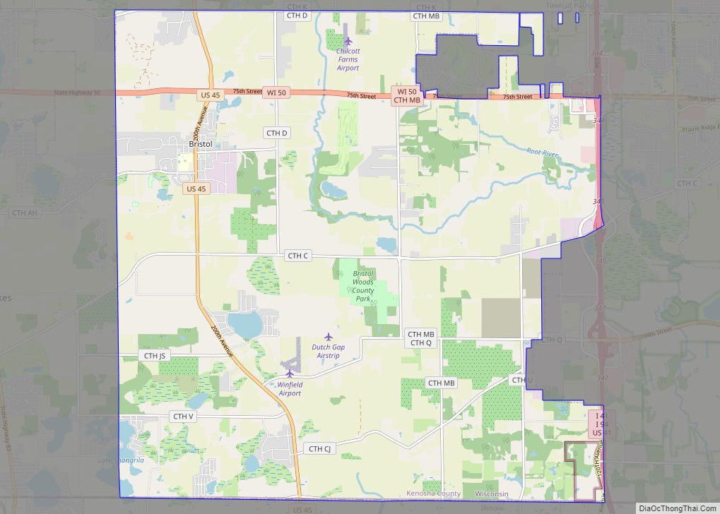
Pleasant Prairie Road Map

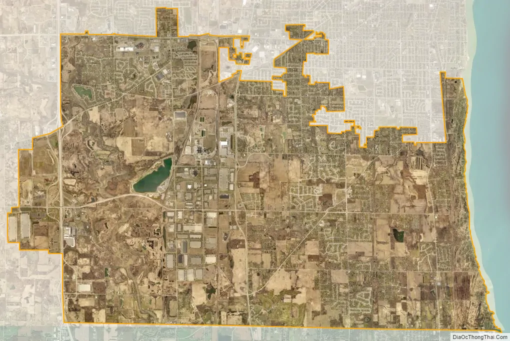
Pleasant Prairie city Satellite Map
Geography
Pleasant Prairie is located at 42°32′20″N 87°52′13″W / 42.53889°N 87.87028°W / 42.53889; -87.87028 (42.538820, –87.870229).
According to the United States Census Bureau, the village has a total area of 33.64 square miles (87.13 km), of which 33.33 square miles (86.32 km) is land and 0.31 square miles (0.80 km) is water.
Neighborhoods
Carol Beach is a residential neighborhood located in Pleasant Prairie. It is generally bordered by Lake Michigan to the east, the Wisconsin-Illinois border to the south, Sheridan Road (Wisconsin State Highway 32) to the west, and the Kenosha Sand Dunes to the north.
Carol Beach traces its roots to 1921, the year that J. H. Penny & Sons purchased land south of 116th Street. Their development was called “Chiwaukee On the Lake,” named for being halfway between Chicago and Milwaukee. It included the mansion owned by Fred P. Fischer, which was leased by Joe Louis in 1937 while he trained at the Lakefront Stadium in Kenosha.
In 1924, Edith Rockefeller McCormick of Chicago, Illinois, the daughter of John D. Rockefeller and daughter-in-law of reaper inventor Cyrus McCormick, purchased a 1,554-acre (6 km) land parcel to found a new community which soon adopted the name “Chiwaukee” (the area is nearly equidistant between Chicago and Milwaukee, Wisconsin). Chiwaukee was to have its own business district, golf course and playground, and its homes were to be constructed in the Tudor style. Some locals recall a promotional arch constructed over Sheridan Road to inform passersby of the new, planned community. A street network was installed, with Lake Shore Drive as the main thoroughfare.
A national contest was announced to select a permanent name for the new community. Elmer Huge of La Porte, Indiana won a $1,500 prize for his winning submission: “Edithton Beach”.
When the Great Depression struck, McCormick’s debts mounted and the project collapsed. The curbs and streets leading nowhere were the only visible reminders of the failed project until 1946, when local real-estate investor and developer Joseph Shaffron bought it, renamed it “Carol Beach” for his young daughter, and promoted the community as a “second Evanston, Illinois.” Some modest homes began to be built at that time.
The area is one of the most significant wetland areas in the United States and was largely protected through a compromise land use agreement between the Town of Pleasant Prairie, Kenosha County, the State of Wisconsin, and the Army Corps of Engineers. Today many of the areas that can be developed have been, and the state of Wisconsin and the Nature conservancy continue to buy remaining properties for prairie land preservation. These undeveloped tracts of land, including the Kenosha Sand Dunes, constitute the Chiwaukee Prairie. In 1992, the Town of Pleasant Prairie, in which Carol Beach is located, became a village. The neighborhood continues to be known as Carol Beach.
Dexter’s Corner is a residential and agricultural community within the village of Pleasant Prairie. It is located at the intersection of Wisconsin Highway 31 and Springbrook Road.
The area is named for the pioneer John Dexter family, the patriarch of which was a veteran of the War of 1812. The red-brick Dexter residence is located to the north of the intersection. The site is near the location of a tower for FM radio station WWDV (formerly WKZN and WAXO).
Ranney (also known as Rogers Siding) is a ghost town in Pleasant Prairie. It is located at the intersection of Bain Station Road and the Canadian Pacific Railroad (originally the Chicago, Milwaukee, St. Paul & Pacific Railroad). The last passenger train stopped at the Ranney Station prior to 1862, but the Ranney post office opened in 1885 and lasted into 1906. The Bain Station of the KD Line was located just east of Ranney, and remained into the 1940s. Rogers Siding itself was a KD Line team track just west of Green Bay Road for area farmers who would load their produce for rail shipments; the siding itself was removed in the 1980s. The last house in Ranney, the former KD Line yardmaster’s house, was demolished in 2003, and the area is now devoid of all traces of community except for continuing railroad activity on the KD Line and the Canadian Pacific. Much of the property there is now owned by We Energies.
Tobin is an area along 116th Street in Pleasant Prairie. The community is named for early settler Patrick Tobin. Tobin’s most famous visitors included boxer Joe Louis, who would arrive and depart at the Tobin station on the Chicago North Shore and Milwaukee Railroad interurban in the mid-1930s, to train at the Ham Fisher mansion in nearby Carol Beach, and to supervise the Joe Louis Boxing Camps held at Lakefront Stadium.
See also
Map of Wisconsin State and its subdivision:- Adams
- Ashland
- Barron
- Bayfield
- Brown
- Buffalo
- Burnett
- Calumet
- Chippewa
- Clark
- Columbia
- Crawford
- Dane
- Dodge
- Door
- Douglas
- Dunn
- Eau Claire
- Florence
- Fond du Lac
- Forest
- Grant
- Green
- Green Lake
- Iowa
- Iron
- Jackson
- Jefferson
- Juneau
- Kenosha
- Kewaunee
- La Crosse
- Lafayette
- Lake Michigan
- Lake Superior
- Langlade
- Lincoln
- Manitowoc
- Marathon
- Marinette
- Marquette
- Menominee
- Milwaukee
- Monroe
- Oconto
- Oneida
- Outagamie
- Ozaukee
- Pepin
- Pierce
- Polk
- Portage
- Price
- Racine
- Richland
- Rock
- Rusk
- Saint Croix
- Sauk
- Sawyer
- Shawano
- Sheboygan
- Taylor
- Trempealeau
- Vernon
- Vilas
- Walworth
- Washburn
- Washington
- Waukesha
- Waupaca
- Waushara
- Winnebago
- Wood
- Alabama
- Alaska
- Arizona
- Arkansas
- California
- Colorado
- Connecticut
- Delaware
- District of Columbia
- Florida
- Georgia
- Hawaii
- Idaho
- Illinois
- Indiana
- Iowa
- Kansas
- Kentucky
- Louisiana
- Maine
- Maryland
- Massachusetts
- Michigan
- Minnesota
- Mississippi
- Missouri
- Montana
- Nebraska
- Nevada
- New Hampshire
- New Jersey
- New Mexico
- New York
- North Carolina
- North Dakota
- Ohio
- Oklahoma
- Oregon
- Pennsylvania
- Rhode Island
- South Carolina
- South Dakota
- Tennessee
- Texas
- Utah
- Vermont
- Virginia
- Washington
- West Virginia
- Wisconsin
- Wyoming