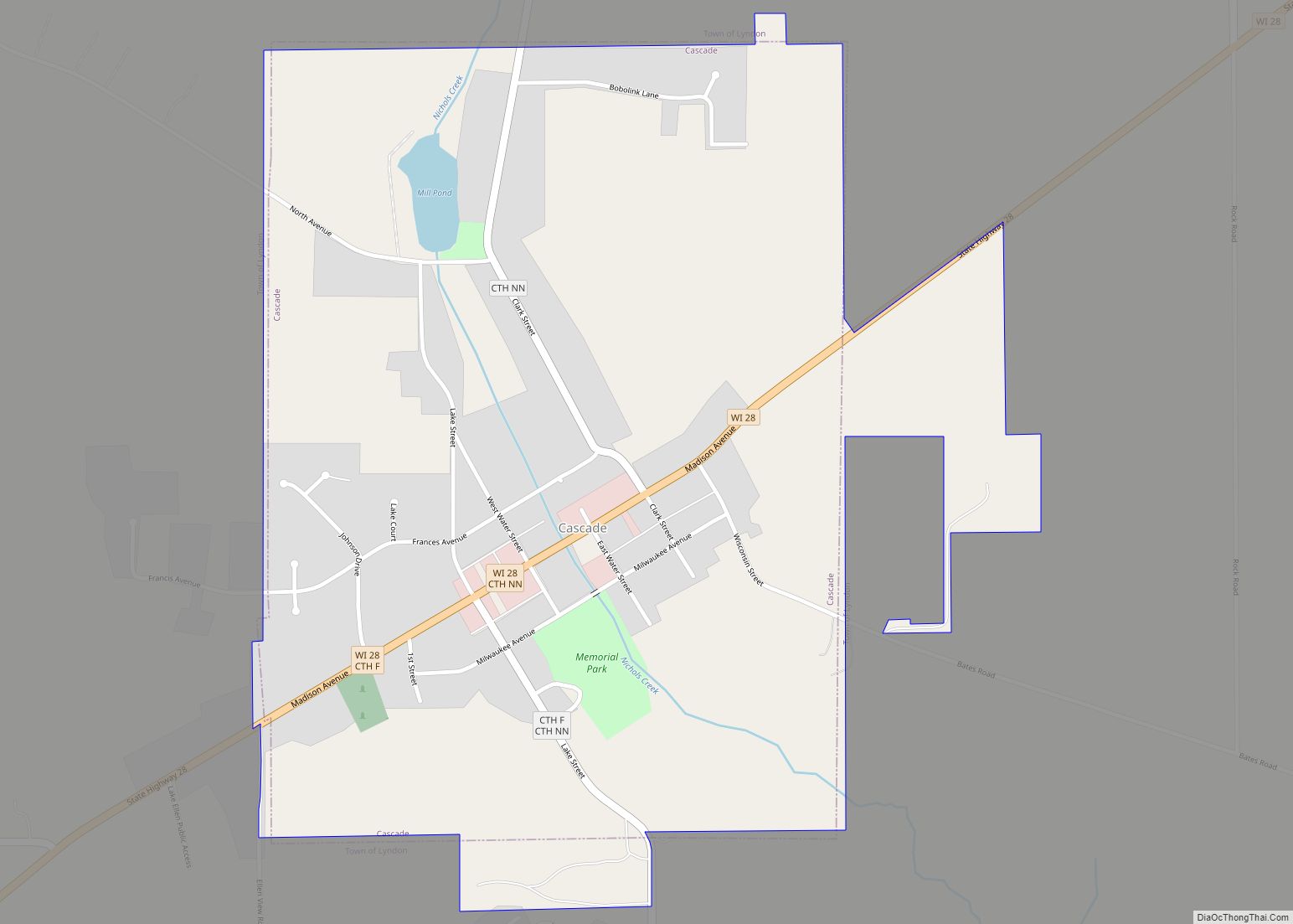
Cascade is a village in Sheboygan County, Wisconsin, United States. The population was 709 at the 2010 census. It is included in the Sheboygan, Wisconsin Metropolitan Statistical Area. Wisconsin Highway 28 passes through Cascade.
| Name: | Cascade village |
|---|---|
| LSAD Code: | 47 |
| LSAD Description: | village (suffix) |
| State: | Wisconsin |
| County: | Sheboygan County |
| Elevation: | 869 ft (265 m) |
| Total Area: | 0.84 sq mi (2.17 km²) |
| Land Area: | 0.82 sq mi (2.13 km²) |
| Water Area: | 0.01 sq mi (0.04 km²) |
| Total Population: | 709 |
| Population Density: | 840.83/sq mi (324.50/km²) |
| Area code: | 920 |
| FIPS code: | 5512825 |
| GNISfeature ID: | 1562757 |
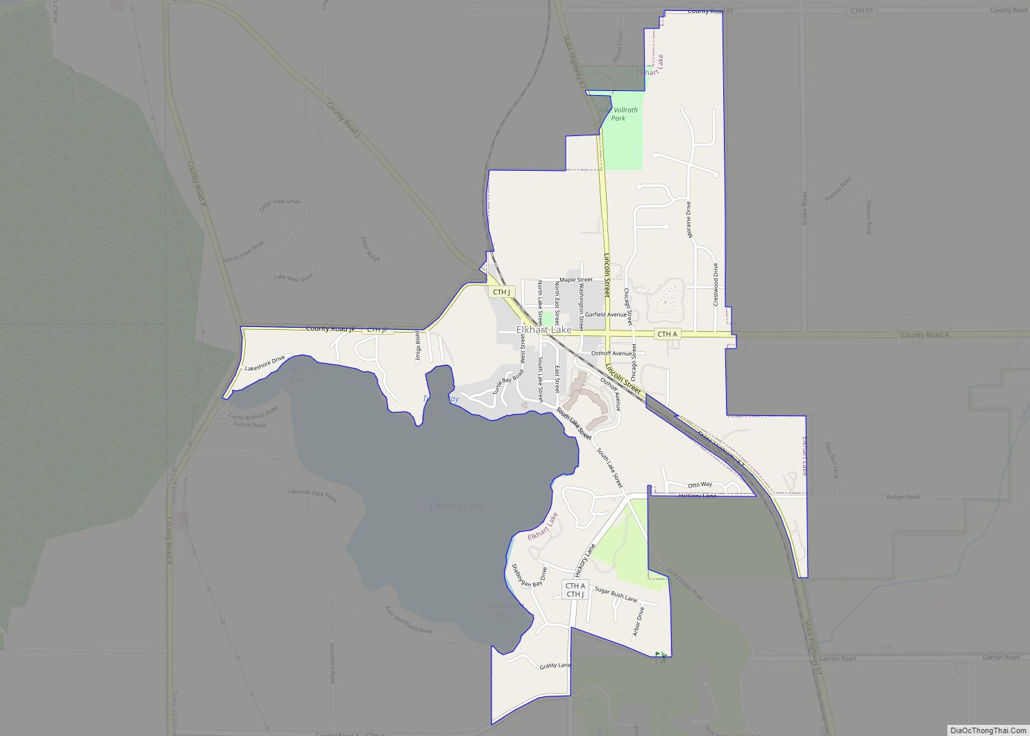
Online Interactive Map
Click on ![]() to view map in "full screen" mode.
to view map in "full screen" mode.
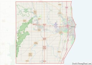
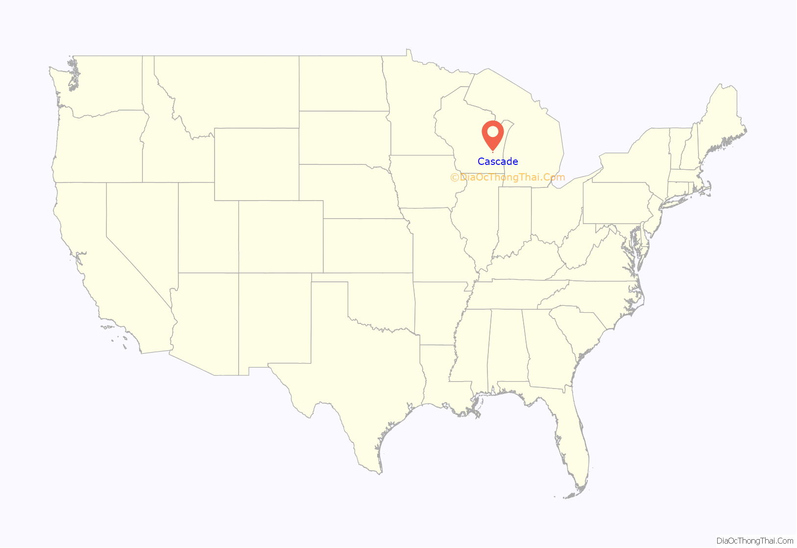
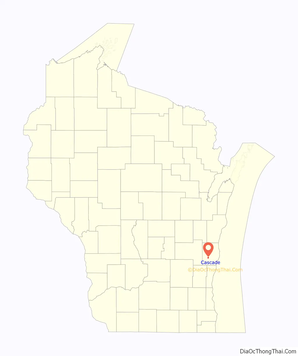
Cascade location map. Where is Cascade village?
History
With the construction of two 100-kilowatt wind turbines in June 2010, Cascade became the first community in Wisconsin to use locally produced wind energy to power its municipal wastewater treatment plant.
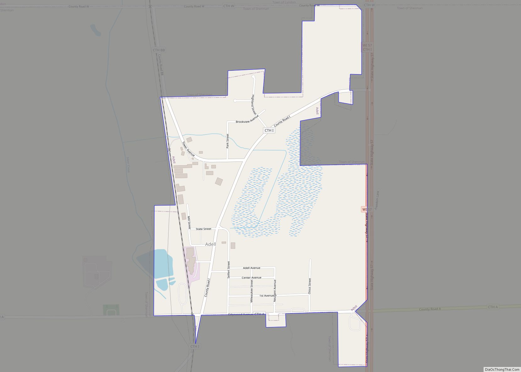
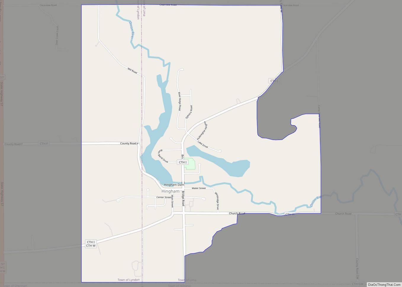
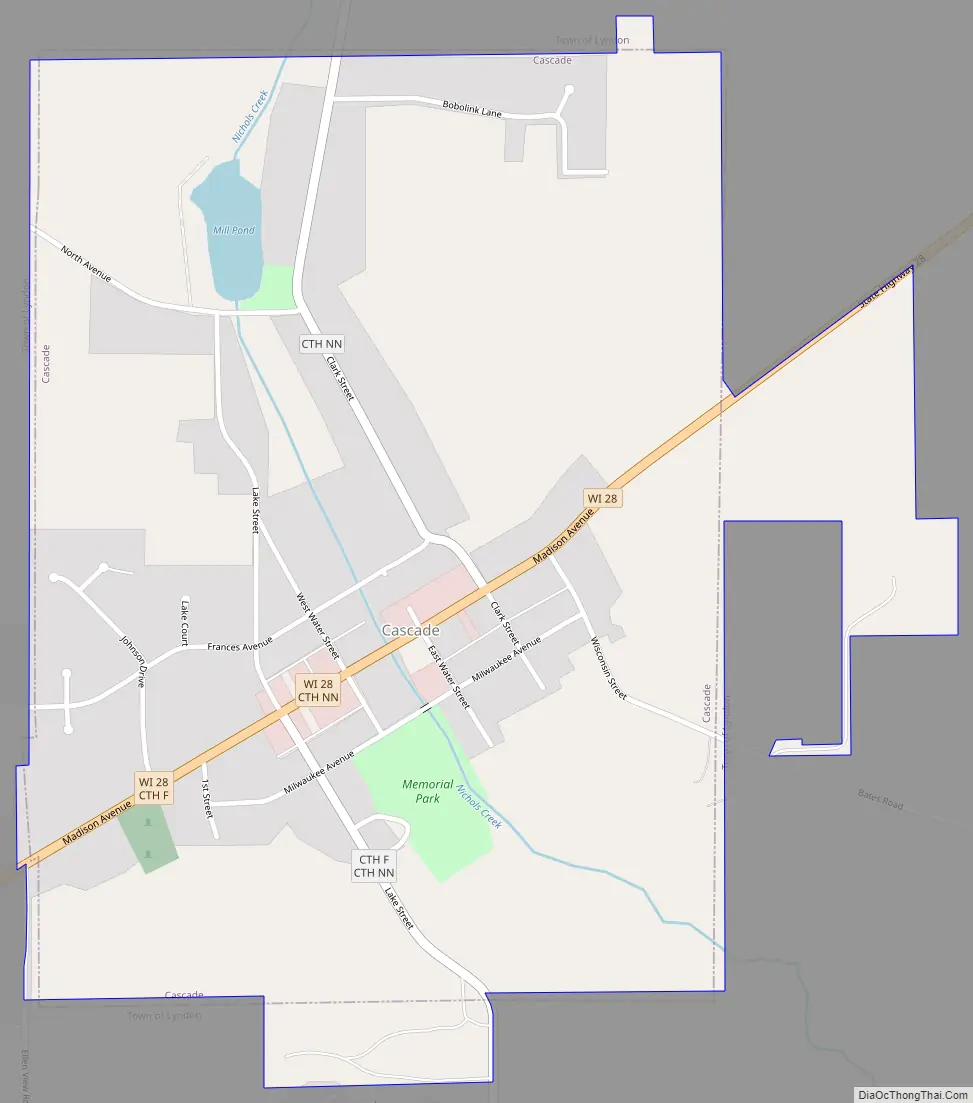
Cascade Road Map
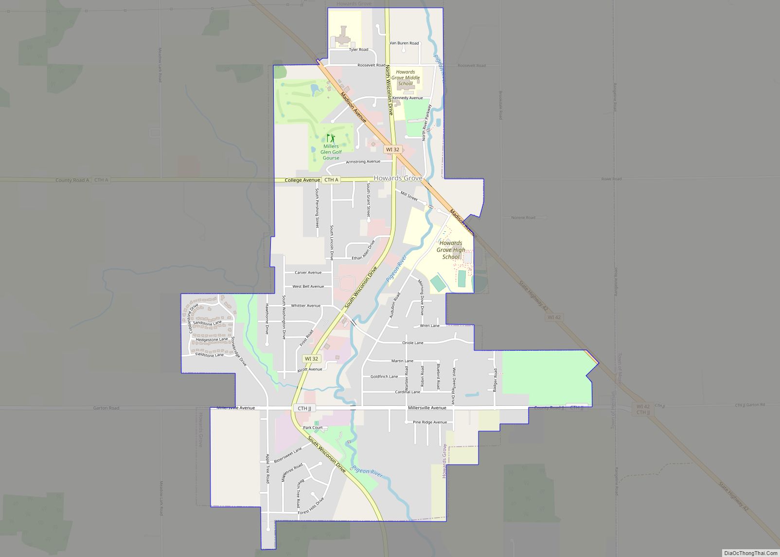
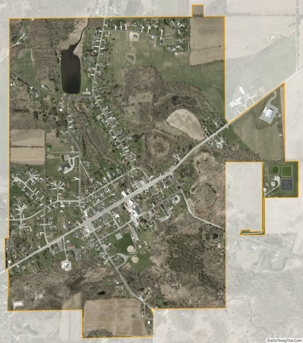
Cascade city Satellite Map
Geography
Cascade is located at 43°39′31″N 88°0′30″W / 43.65861°N 88.00833°W / 43.65861; -88.00833 (43.658541, -88.008412).
According to the United States Census Bureau, the village has a total area of 0.82 square miles (2.12 km), of which, 0.81 square miles (2.10 km) of it is land and 0.01 square miles (0.03 km) is water.
See also
Map of Wisconsin State and its subdivision:- Adams
- Ashland
- Barron
- Bayfield
- Brown
- Buffalo
- Burnett
- Calumet
- Chippewa
- Clark
- Columbia
- Crawford
- Dane
- Dodge
- Door
- Douglas
- Dunn
- Eau Claire
- Florence
- Fond du Lac
- Forest
- Grant
- Green
- Green Lake
- Iowa
- Iron
- Jackson
- Jefferson
- Juneau
- Kenosha
- Kewaunee
- La Crosse
- Lafayette
- Lake Michigan
- Lake Superior
- Langlade
- Lincoln
- Manitowoc
- Marathon
- Marinette
- Marquette
- Menominee
- Milwaukee
- Monroe
- Oconto
- Oneida
- Outagamie
- Ozaukee
- Pepin
- Pierce
- Polk
- Portage
- Price
- Racine
- Richland
- Rock
- Rusk
- Saint Croix
- Sauk
- Sawyer
- Shawano
- Sheboygan
- Taylor
- Trempealeau
- Vernon
- Vilas
- Walworth
- Washburn
- Washington
- Waukesha
- Waupaca
- Waushara
- Winnebago
- Wood
- Alabama
- Alaska
- Arizona
- Arkansas
- California
- Colorado
- Connecticut
- Delaware
- District of Columbia
- Florida
- Georgia
- Hawaii
- Idaho
- Illinois
- Indiana
- Iowa
- Kansas
- Kentucky
- Louisiana
- Maine
- Maryland
- Massachusetts
- Michigan
- Minnesota
- Mississippi
- Missouri
- Montana
- Nebraska
- Nevada
- New Hampshire
- New Jersey
- New Mexico
- New York
- North Carolina
- North Dakota
- Ohio
- Oklahoma
- Oregon
- Pennsylvania
- Rhode Island
- South Carolina
- South Dakota
- Tennessee
- Texas
- Utah
- Vermont
- Virginia
- Washington
- West Virginia
- Wisconsin
- Wyoming