Sheboygan (/ʃɪˈbɔɪɡən/) is a city in and the county seat of Sheboygan County, Wisconsin, United States. The population was 49,929 at the 2020 census. It is the principal city of the Sheboygan, Wisconsin Metropolitan Statistical Area, which has a population of 118,034. The city is located on the western shore of Lake Michigan at the mouth of the Sheboygan River, about 50 miles (80 kilometers) north of Milwaukee and 64 mi (103 km) south of Green Bay.
| Name: | Sheboygan city |
|---|---|
| LSAD Code: | 25 |
| LSAD Description: | city (suffix) |
| State: | Wisconsin |
| County: | Sheboygan County |
| Land Area: | 15.64 sq mi (40.51 km²) |
| Water Area: | 0.19 sq mi (0.49 km²) |
| Population Density: | 3,066.82/sq mi (1,184.14/km²) |
| FIPS code: | 5572975 |
| Website: | sheboyganwi.gov |
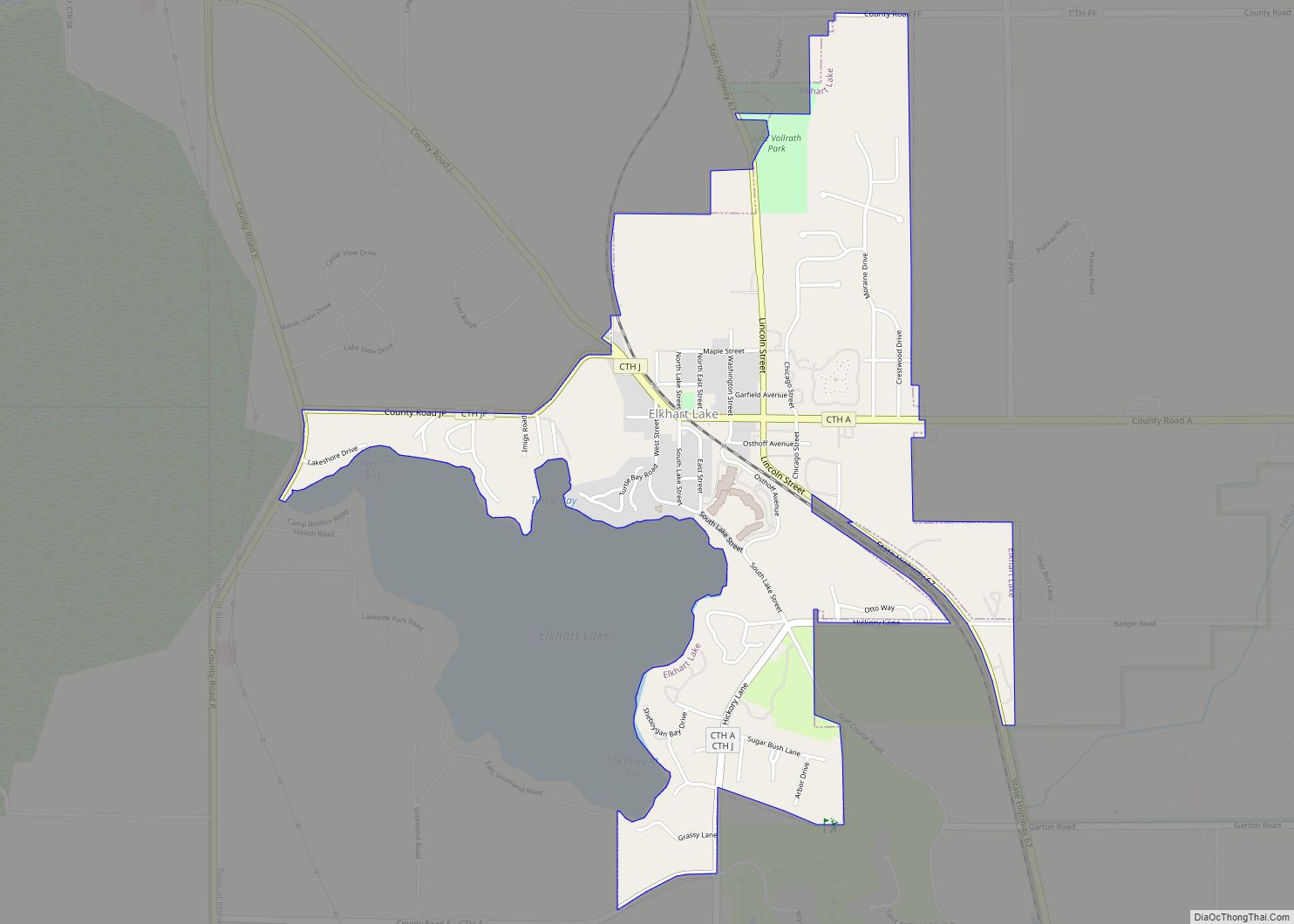
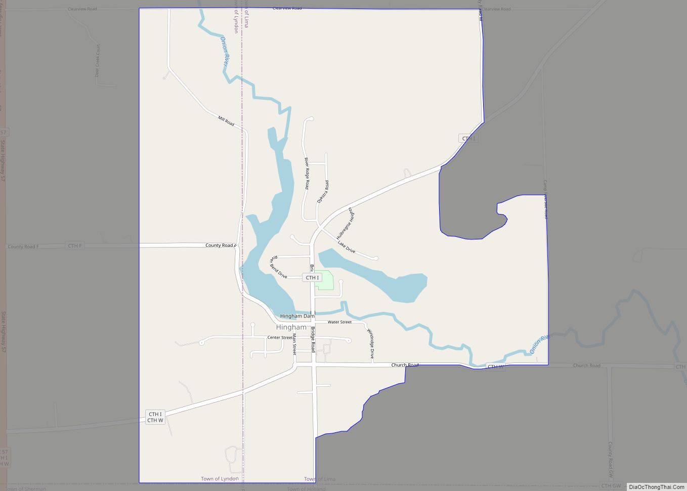
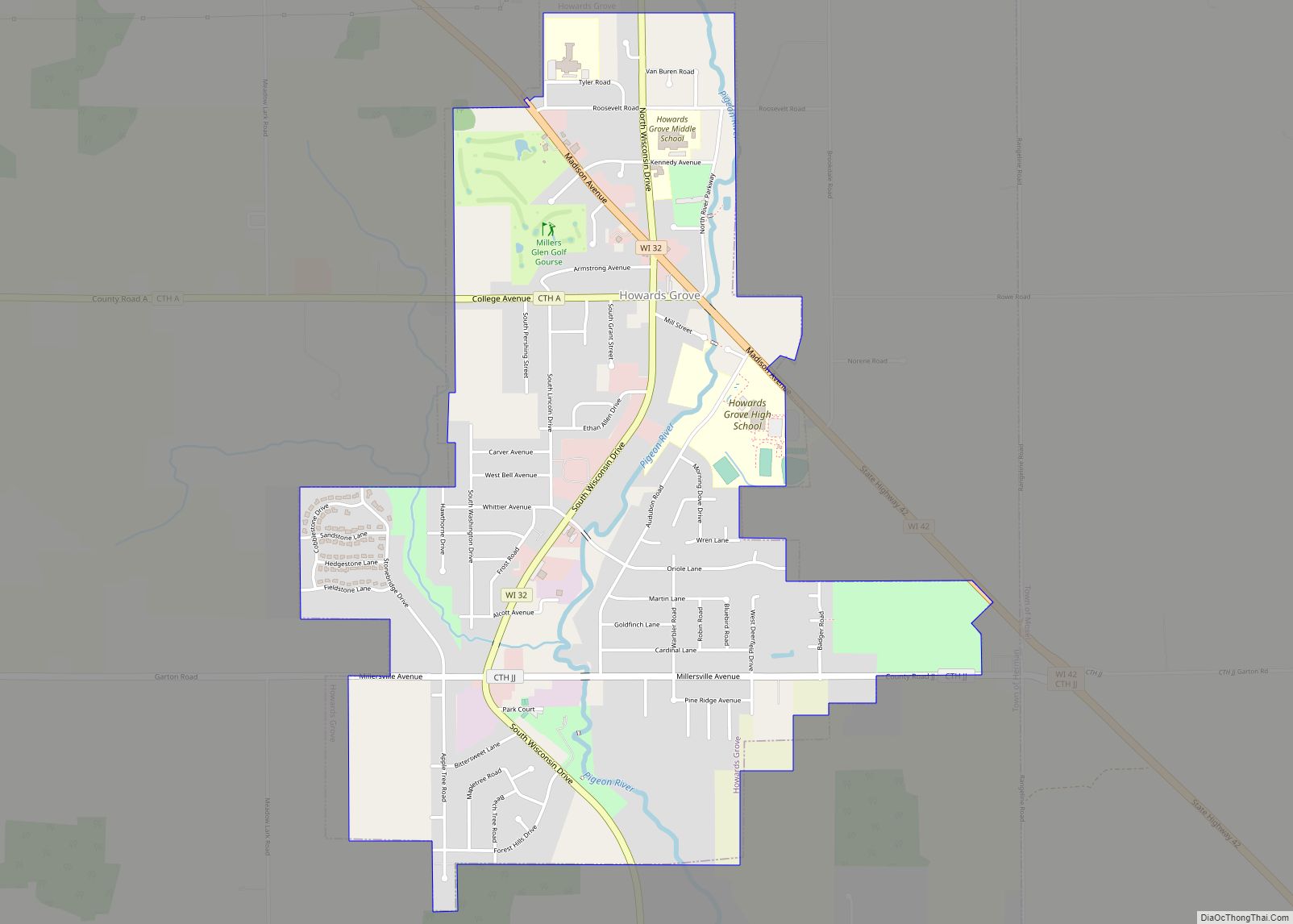
Online Interactive Map
Click on ![]() to view map in "full screen" mode.
to view map in "full screen" mode.
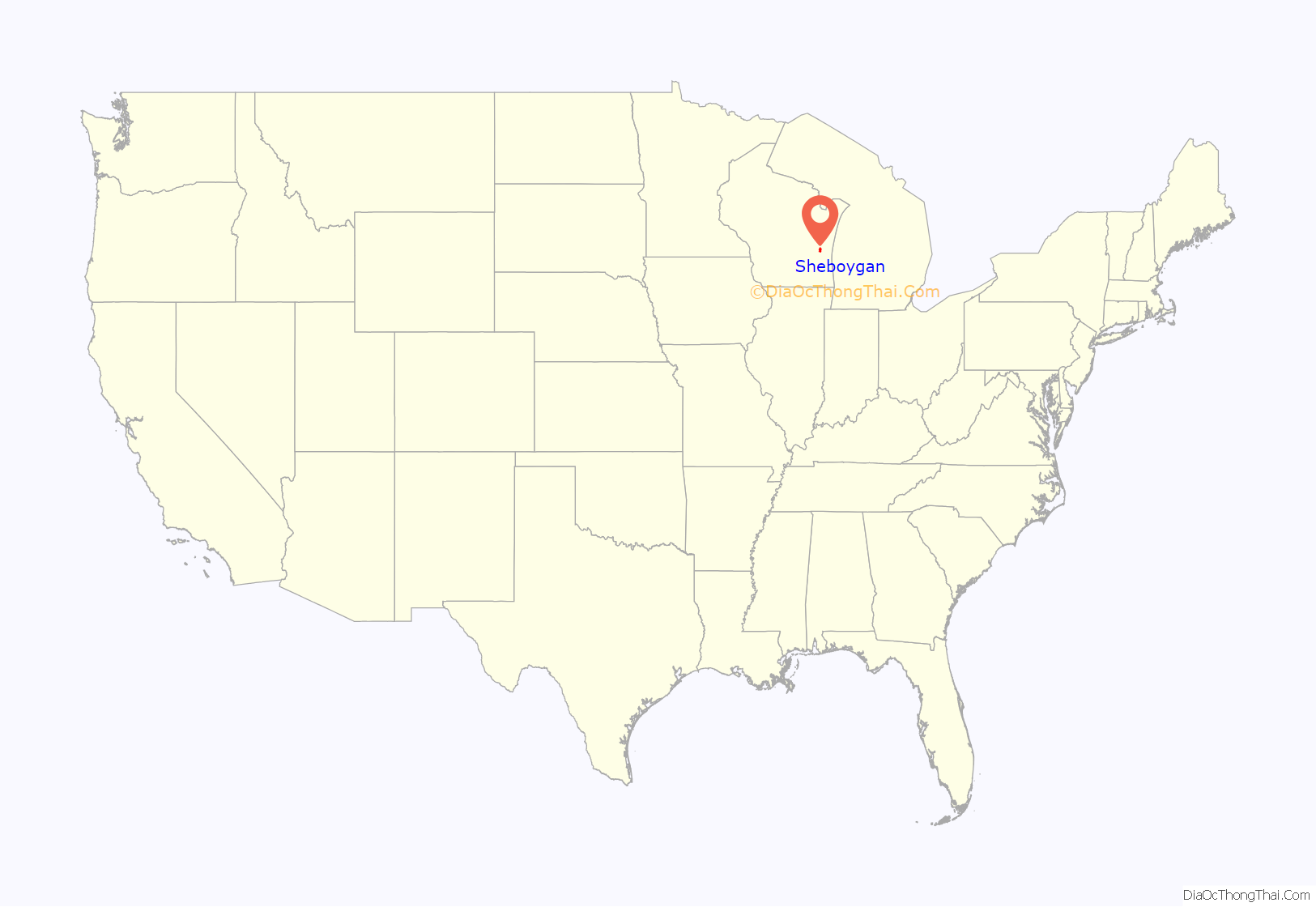
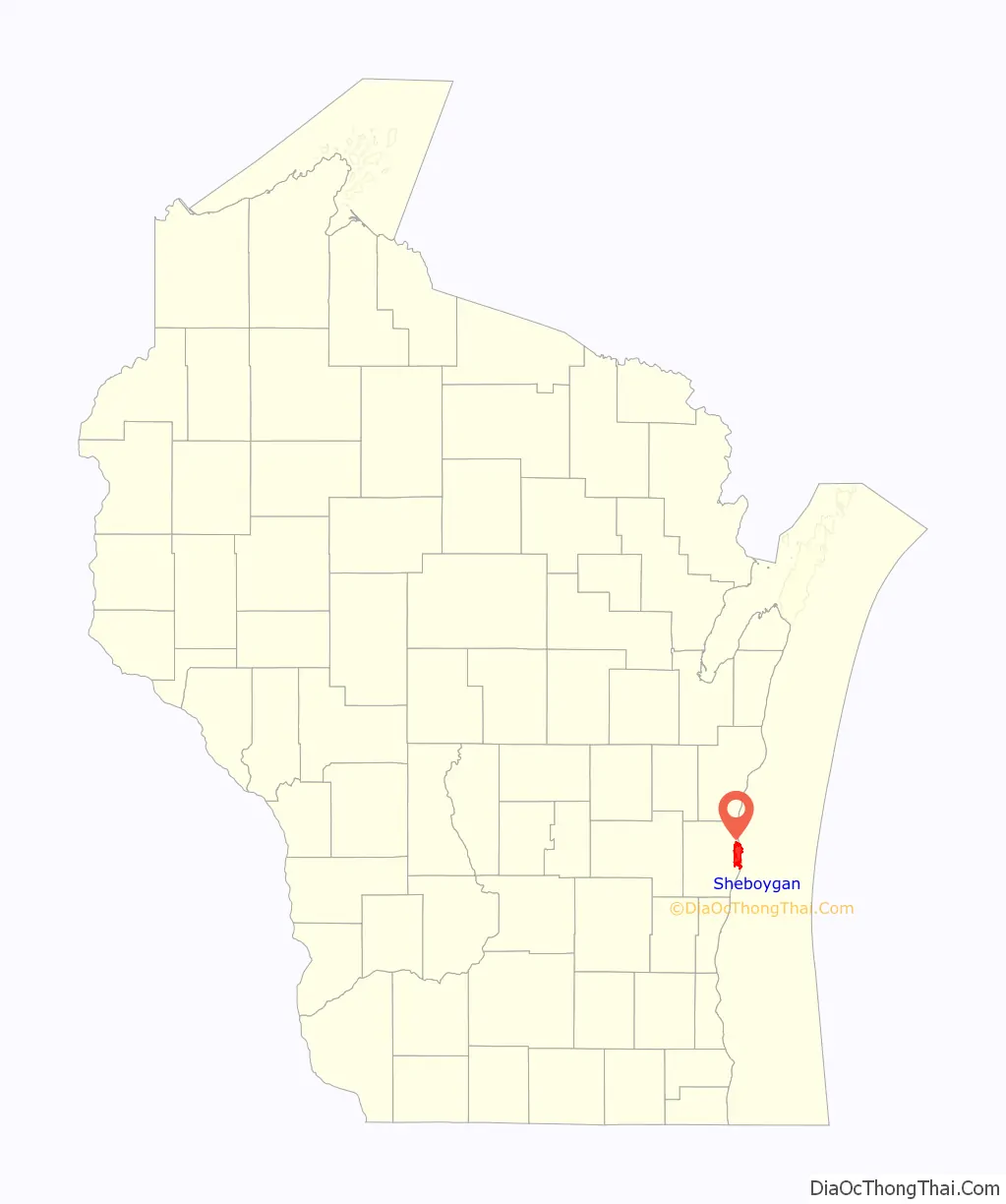
Sheboygan location map. Where is Sheboygan city?
History
Before its settlement by European Americans, the Sheboygan area was home to Native Americans, including members of the Potawatomi, Chippewa, Ottawa, Winnebago, and Menominee tribes. In the Menominee language, the place is known as Sāpīwǣhekaneh, “at a hearing distance in the woods”. The Menominee ceded this land to the United States in the 1831 Treaty of Washington. Following the treaty, the land became available for sale to American settlers. Migrants from New York, Michigan, and New England were among the first white Americans to settle this area in the 1830s, though the French had been present in the region since the 17th century and had intermarried with local people. One 19th century settler remarked: “Nearly all the settlers were from the New England states and New York.” Lumbering was the first major industry, as trees were harvested and shipped to eastern markets through the Great Lakes.
Although Sheboygan was officially incorporated in 1846, much of the town had been platted in 1836, when property investors laid out more than one thousand lots.
By 1849, a wave of liberal, middle-class immigration triggered by the revolutions of 1848 had made the community known for its German population. As Major William Williams wrote on June 26, 1849: “Arrived at Sheboigin [sic] on the Wisconsin side, a small town, population purhaps [sic] from 700 to 1000. This is a promising place. There are a great many best class of Germans settling around it. ‘Tis all along this Lake so far quite an interesting country.” Between 1840 and 1890, Protestant Dutch immigrants also settled in the area, as did Irish refugees fleeing the Great Famine. A neighborhood in northwestern Sheboygan (between Martin Avenue and Alexander Court) was settled by Slovenian immigrants and acquired the name Laibach; it was also known as Vollrath’s Division. In 1887, Sheboygan adopted a sundown town ordinance banning African Americans from living there, according to a local Optimist member’s account in 1963, though city leaders denied that any such ordinance was in effect.
In the spring of 1898, Sheboygan elected Fred C. Haack and August L. Mohr as aldermen, making them the first two Social Democratic Party candidates to be elected to public office in the United States. Haack had originally been elected in 1897 as a member of the Populist Party but joined the Social Democrats after they organized locally. Haack served as alderman for sixteen years before moving to Milwaukee and being elected as a Socialist alderman there. At the 1932 Socialist Party convention, Haack received recognition as the first Socialist officeholder in America.
In the early 20th century, many Orthodox Greeks, Catholic Slavs and Lithuanians immigrated to Sheboygan. In the late 20th century, Hmong refugees from Laos and Southeast Asia settled there.
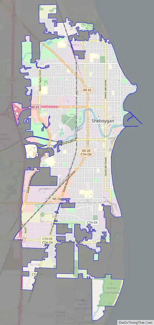
Sheboygan Road Map
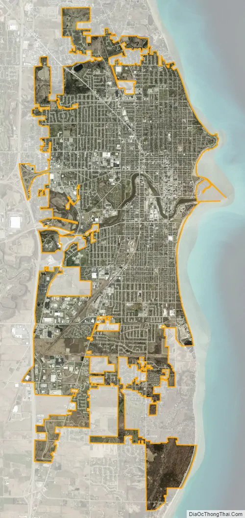
Sheboygan city Satellite Map
Geography
According to the United States Census Bureau, the city has a total area of 15.83 square miles (41.00 km), of which, 15.64 square miles (40.51 km) is land and 0.19 square miles (0.49 km) is water. It is located at latitude 43°45′ north, longitude 87°44′ west.
Climate
Sheboygan has a warm-summer humid continental climate typical of Wisconsin. In spite of its position on Lake Michigan there are vast temperature differences between seasons, although it is somewhat moderated compared with areas farther inland.
See also
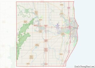
Map of Wisconsin State and its subdivision:- Adams
- Ashland
- Barron
- Bayfield
- Brown
- Buffalo
- Burnett
- Calumet
- Chippewa
- Clark
- Columbia
- Crawford
- Dane
- Dodge
- Door
- Douglas
- Dunn
- Eau Claire
- Florence
- Fond du Lac
- Forest
- Grant
- Green
- Green Lake
- Iowa
- Iron
- Jackson
- Jefferson
- Juneau
- Kenosha
- Kewaunee
- La Crosse
- Lafayette
- Lake Michigan
- Lake Superior
- Langlade
- Lincoln
- Manitowoc
- Marathon
- Marinette
- Marquette
- Menominee
- Milwaukee
- Monroe
- Oconto
- Oneida
- Outagamie
- Ozaukee
- Pepin
- Pierce
- Polk
- Portage
- Price
- Racine
- Richland
- Rock
- Rusk
- Saint Croix
- Sauk
- Sawyer
- Shawano
- Sheboygan
- Taylor
- Trempealeau
- Vernon
- Vilas
- Walworth
- Washburn
- Washington
- Waukesha
- Waupaca
- Waushara
- Winnebago
- Wood
- Alabama
- Alaska
- Arizona
- Arkansas
- California
- Colorado
- Connecticut
- Delaware
- District of Columbia
- Florida
- Georgia
- Hawaii
- Idaho
- Illinois
- Indiana
- Iowa
- Kansas
- Kentucky
- Louisiana
- Maine
- Maryland
- Massachusetts
- Michigan
- Minnesota
- Mississippi
- Missouri
- Montana
- Nebraska
- Nevada
- New Hampshire
- New Jersey
- New Mexico
- New York
- North Carolina
- North Dakota
- Ohio
- Oklahoma
- Oregon
- Pennsylvania
- Rhode Island
- South Carolina
- South Dakota
- Tennessee
- Texas
- Utah
- Vermont
- Virginia
- Washington
- West Virginia
- Wisconsin
- Wyoming