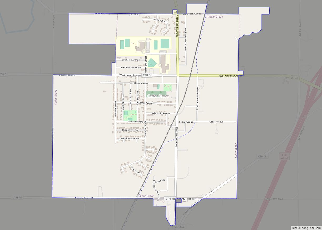
Cedar Grove is a village in Sheboygan County, Wisconsin, United States, within the Town of Holland. The population was 2,113 at the 2010 census. It is included in the Sheboygan, Wisconsin Metropolitan Statistical Area.
| Name: | Cedar Grove village |
|---|---|
| LSAD Code: | 47 |
| LSAD Description: | village (suffix) |
| State: | Wisconsin |
| County: | Sheboygan County |
| Elevation: | 719 ft (219 m) |
| Total Area: | 2.22 sq mi (5.74 km²) |
| Land Area: | 2.18 sq mi (5.66 km²) |
| Water Area: | 0.03 sq mi (0.09 km²) |
| Total Population: | 2,113 |
| Population Density: | 969.32/sq mi (374.20/km²) |
| Area code: | 920 |
| FIPS code: | 5513475 |
| GNISfeature ID: | 1562844 |
| Website: | www.cedargrovewi.com |
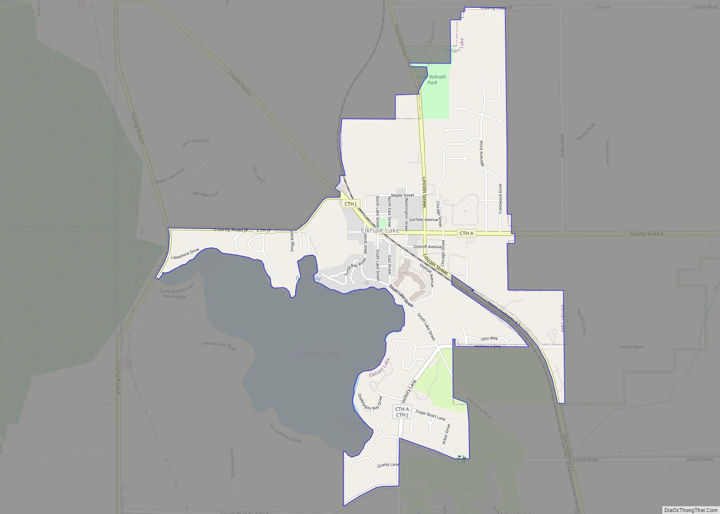
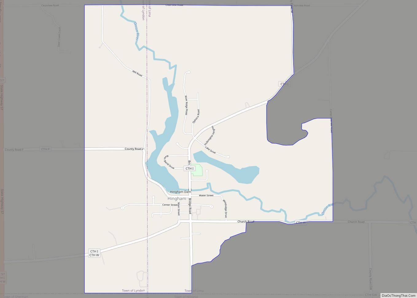
Online Interactive Map
Click on ![]() to view map in "full screen" mode.
to view map in "full screen" mode.
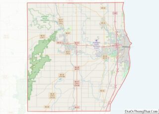
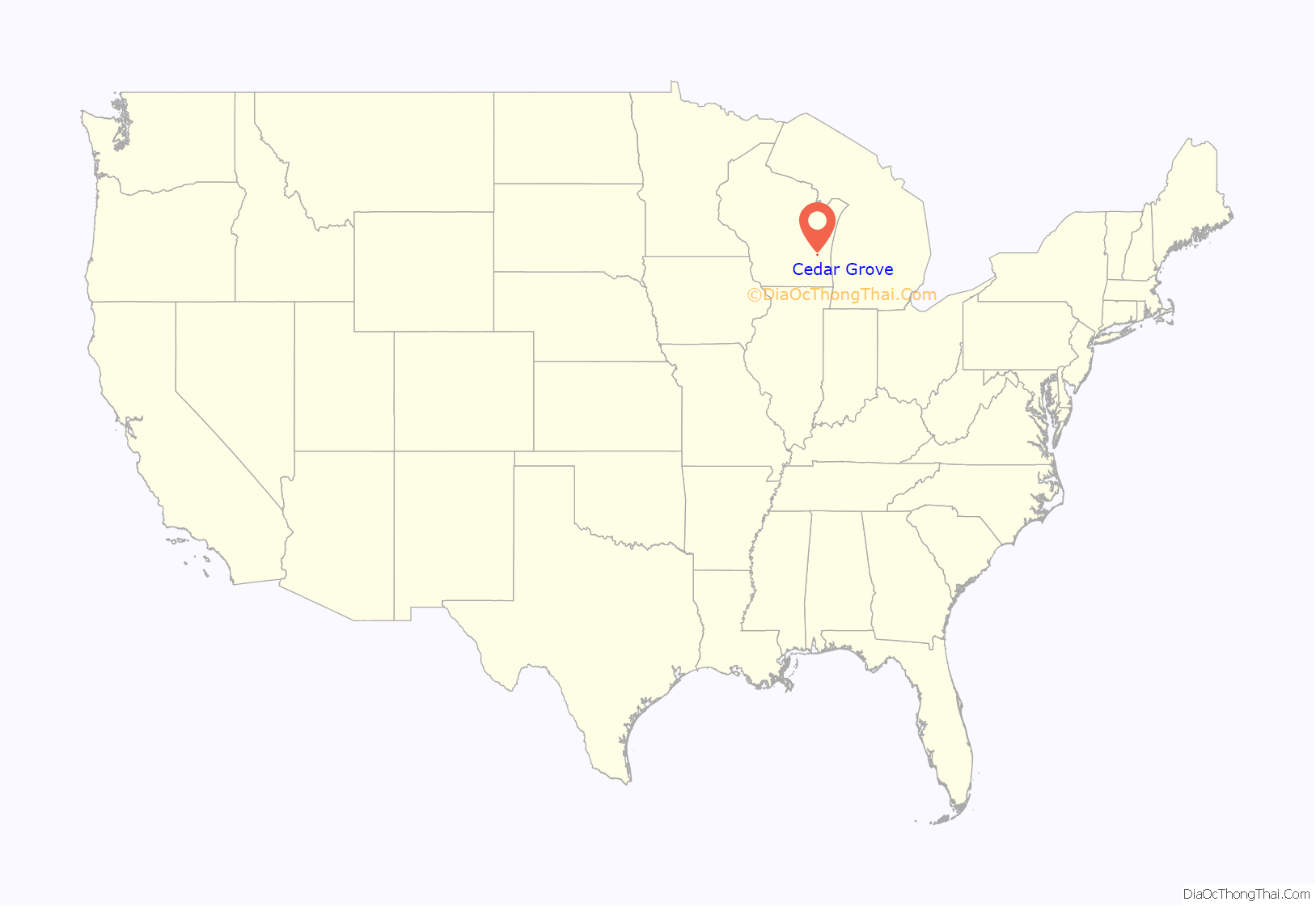
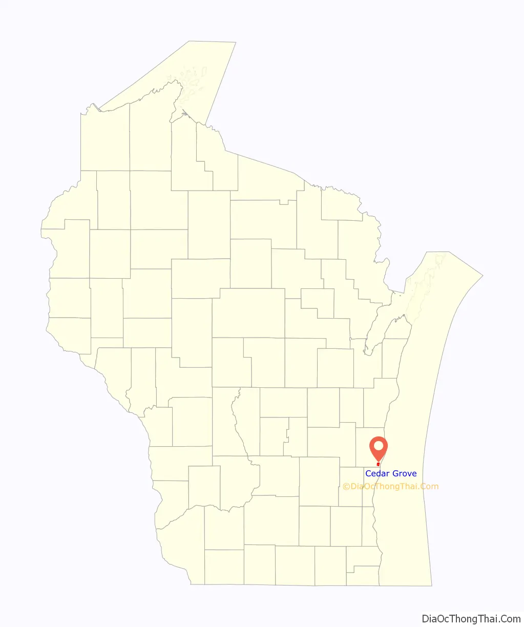
Cedar Grove location map. Where is Cedar Grove village?
History
A post office called Cedar Grove has been in operation since 1849. The village was named from groves of cedar near the town site. The town was originally along Lake Michigan until railway lines came through the present site of Cedar Grove.
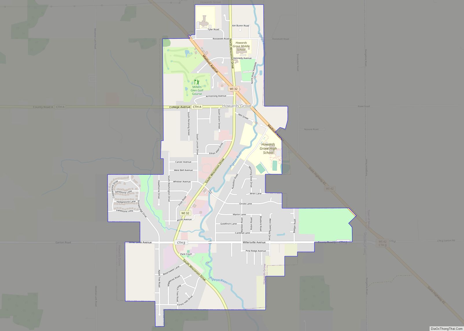
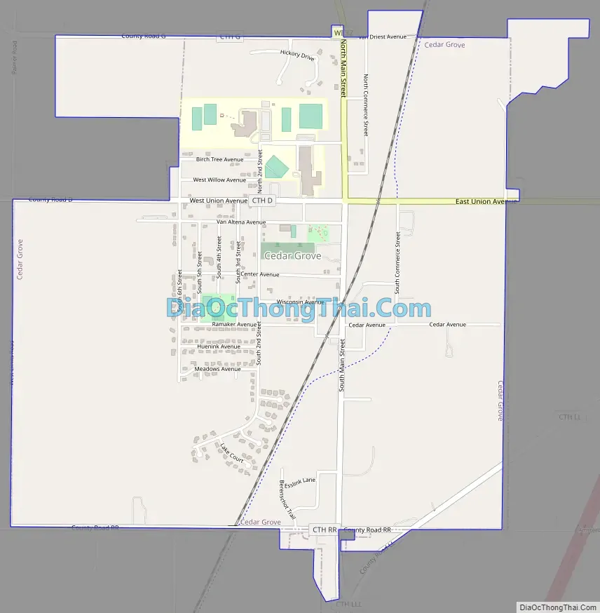
Cedar Grove Road Map
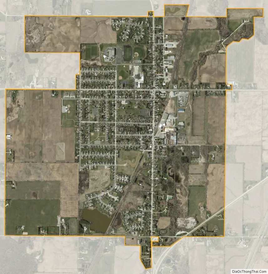
Cedar Grove city Satellite Map
Geography
Cedar Grove is located at 43°34′6″N 87°49′22″W / 43.56833°N 87.82278°W / 43.56833; -87.82278 (43.568213, -87.822915).
According to the United States Census Bureau, the village has a total area of 2.18 square miles (5.65 km), of which, 2.14 square miles (5.54 km) of it is land and 0.04 square miles (0.10 km) is water.
See also
Map of Wisconsin State and its subdivision:- Adams
- Ashland
- Barron
- Bayfield
- Brown
- Buffalo
- Burnett
- Calumet
- Chippewa
- Clark
- Columbia
- Crawford
- Dane
- Dodge
- Door
- Douglas
- Dunn
- Eau Claire
- Florence
- Fond du Lac
- Forest
- Grant
- Green
- Green Lake
- Iowa
- Iron
- Jackson
- Jefferson
- Juneau
- Kenosha
- Kewaunee
- La Crosse
- Lafayette
- Lake Michigan
- Lake Superior
- Langlade
- Lincoln
- Manitowoc
- Marathon
- Marinette
- Marquette
- Menominee
- Milwaukee
- Monroe
- Oconto
- Oneida
- Outagamie
- Ozaukee
- Pepin
- Pierce
- Polk
- Portage
- Price
- Racine
- Richland
- Rock
- Rusk
- Saint Croix
- Sauk
- Sawyer
- Shawano
- Sheboygan
- Taylor
- Trempealeau
- Vernon
- Vilas
- Walworth
- Washburn
- Washington
- Waukesha
- Waupaca
- Waushara
- Winnebago
- Wood
- Alabama
- Alaska
- Arizona
- Arkansas
- California
- Colorado
- Connecticut
- Delaware
- District of Columbia
- Florida
- Georgia
- Hawaii
- Idaho
- Illinois
- Indiana
- Iowa
- Kansas
- Kentucky
- Louisiana
- Maine
- Maryland
- Massachusetts
- Michigan
- Minnesota
- Mississippi
- Missouri
- Montana
- Nebraska
- Nevada
- New Hampshire
- New Jersey
- New Mexico
- New York
- North Carolina
- North Dakota
- Ohio
- Oklahoma
- Oregon
- Pennsylvania
- Rhode Island
- South Carolina
- South Dakota
- Tennessee
- Texas
- Utah
- Vermont
- Virginia
- Washington
- West Virginia
- Wisconsin
- Wyoming