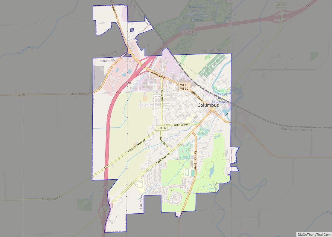
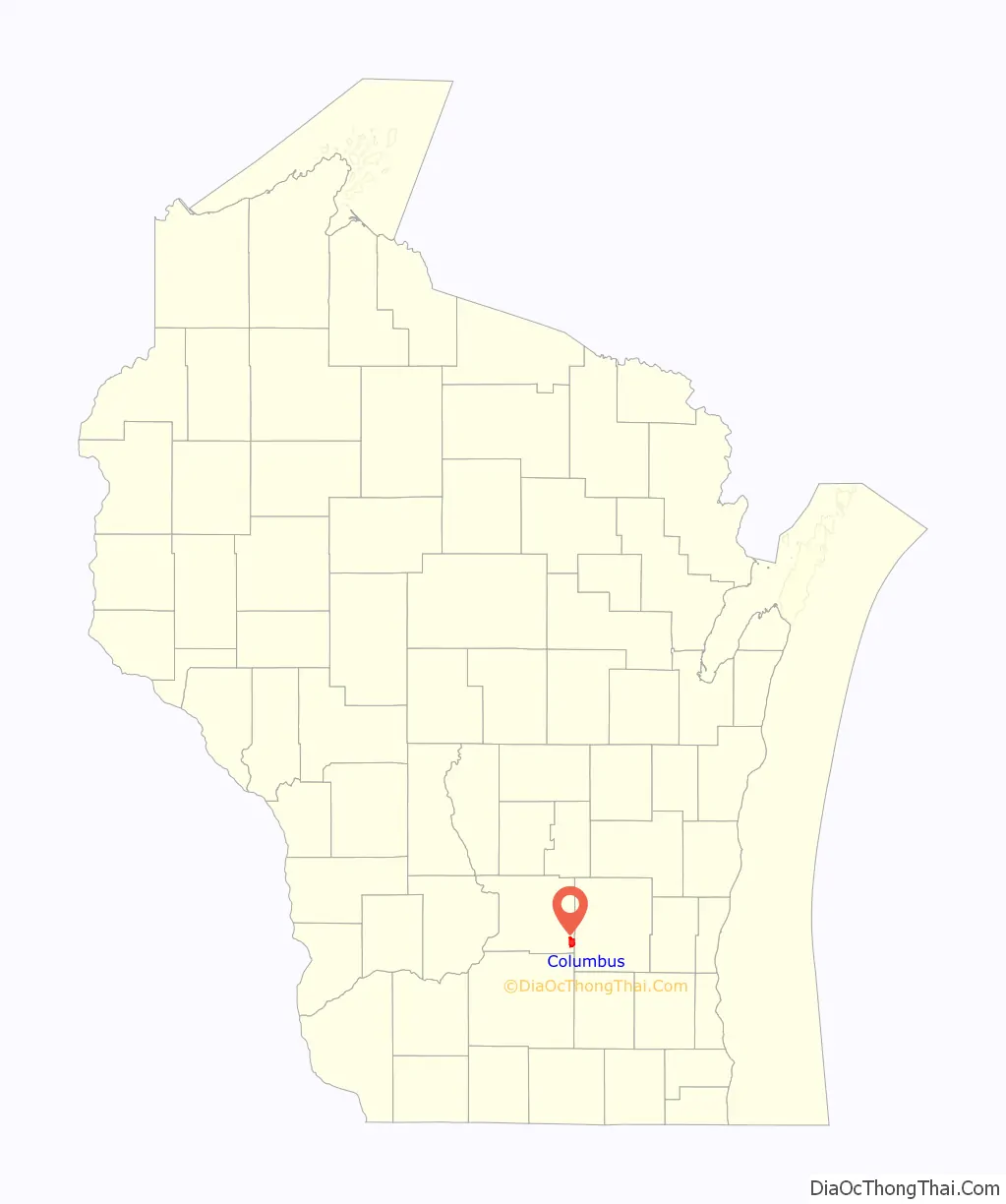
Columbus is a city in Columbia (mostly) and Dodge Counties in the south-central part of the U.S. state of Wisconsin. The population was 5,540 at the 2020 census. All of this population resided in the Columbia County portion of the city. Columbus is located about 28 miles (45 km) northeast of Madison on the Crawfish River. The Columbia County portion of the city lies within the Madison Metropolitan Statistical Area while the Dodge County portion is a part of the Milwaukee-Waukesha-Racine CSA. Nearly all of the city is located within the town of Columbus in Columbia County, though a small portion lies within the town of Elba in Dodge County.
| Name: | Columbus city |
|---|---|
| LSAD Code: | 25 |
| LSAD Description: | city (suffix) |
| State: | Wisconsin |
| County: | Columbia County, Dodge County |
| Elevation: | 879 ft (268 m) |
| Total Area: | 4.59 sq mi (11.89 km²) |
| Land Area: | 4.55 sq mi (11.79 km²) |
| Water Area: | 0.04 sq mi (0.10 km²) |
| Total Population: | 5,540 |
| Population Density: | 1,124.53/sq mi (434.20/km²) |
| Area code: | 920 |
| FIPS code: | 5516450 |
| GNISfeature ID: | 1583005 |
| Website: | www.cityofcolumbuswi.com |
Online Interactive Map
Click on ![]() to view map in "full screen" mode.
to view map in "full screen" mode.
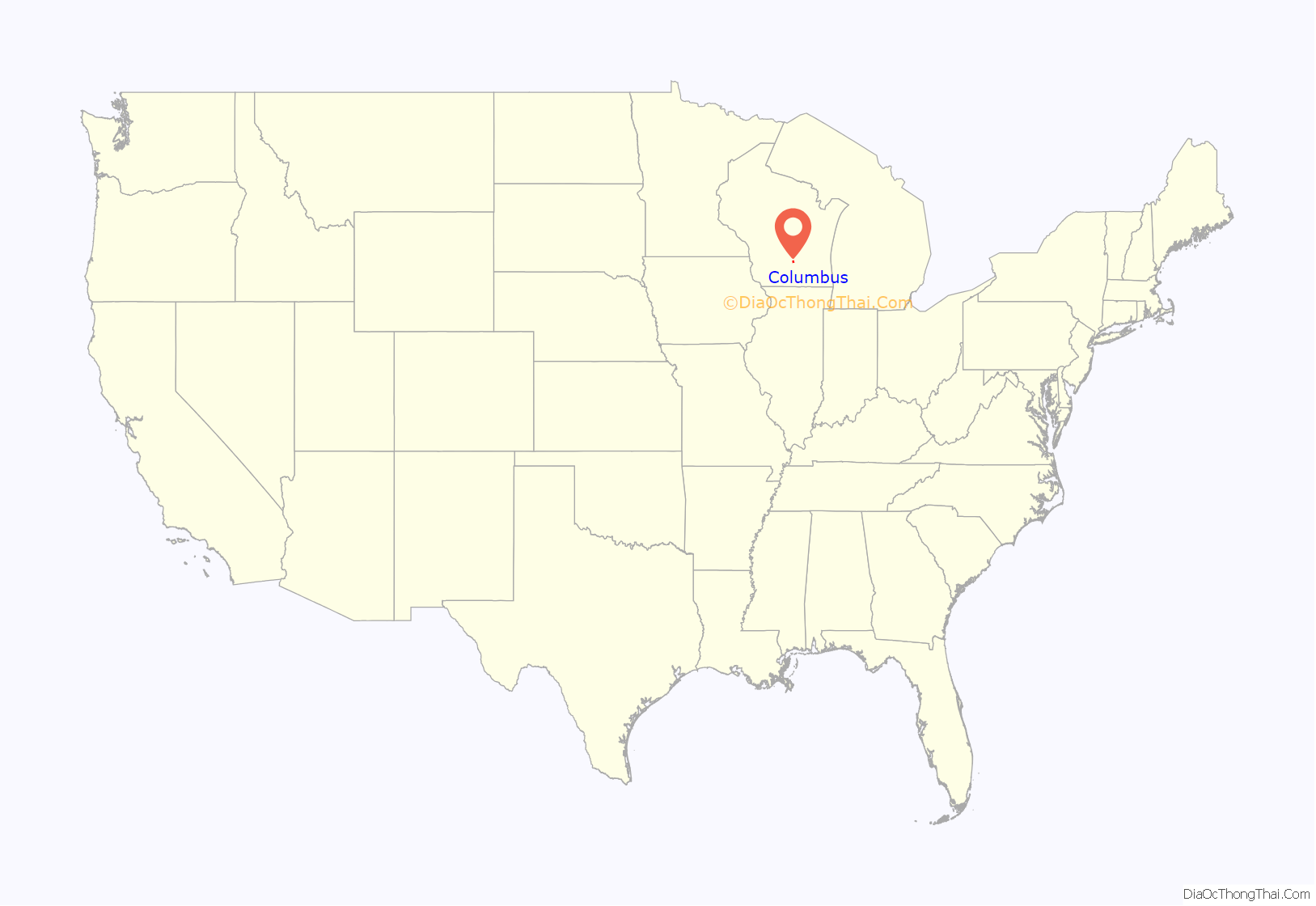
Columbus location map. Where is Columbus city?
History
H. A. Whitney, a Yankee peddler from Vermont, moved to Columbus in 1845 and constructed the first wood frame store building in the community on the land where the Whitney now stands. The building served as a combination store/tavern/rooming house and post office, with Whitney as the first postmaster. In 1857, the building burned down and was replaced by the current Whitney Hotel in 1858. This cream brick, Italianate-style hotel’s third floor ballroom was heated by six wood-burning stoves. The local newspaper reported on a ball there in 1863, “if you ever hear of a ball by Fuller, ask no questions, but go at once, and enjoy yourselves, and for one night forget the ‘fear of the draft'”.
During the 1880s, The Whitney hosted traveling health practitioners whose expertise ranged from “delivering a 40-foot long tape worm” to a local couple to curing piles. Near the turn of the 20th century, the ballroom was turned into an apartment, and from then on served as commercial, professional, and apartment space.
In the 1950s, a restaurant and bar occupied the first floor of the building. From the 1960s to the present, a succession of owners occupied the building and maintenance was deferred. In the 1950s, the building fell into disrepair and as a result of its continued decline, faced demolition in 1990. In February 1991, Heartland Properties, Inc. helped local citizens create the Columbus Downtown Development Corporation (CDDC), which served as the developer to restore the Whitney.
Today, the Whitney provides affordable housing for eight households and 1,570 square feet of downtown retail space for local businesses, including the Daily Citizen newspaper.
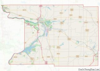
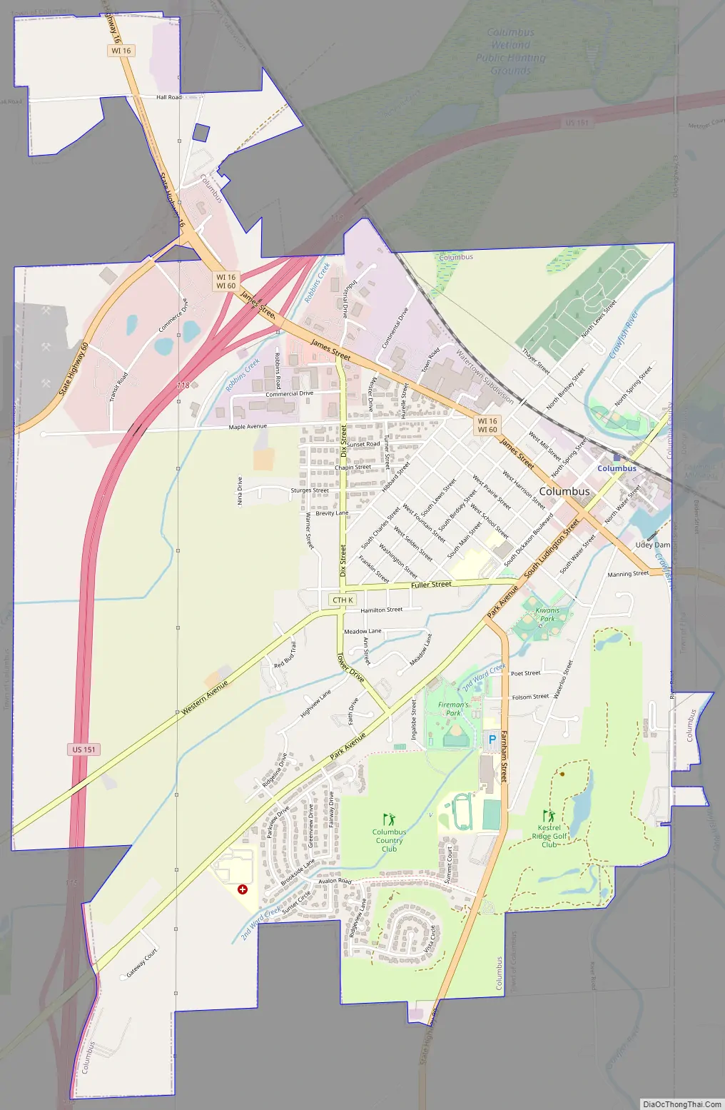
Columbus Road Map
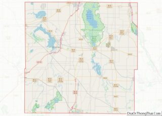
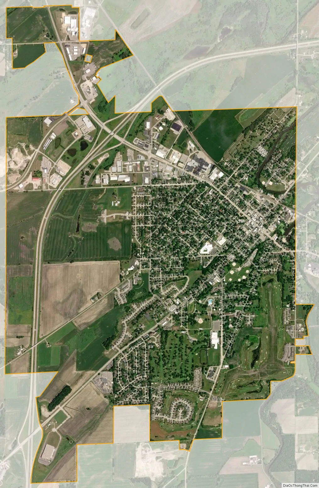
Columbus city Satellite Map
Geography
Columbus is located at 43°20′14″N 89°1′21″W / 43.33722°N 89.02250°W / 43.33722; -89.02250 (43.337366, -89.022753).
According to the United States Census Bureau, the city has a total area of 4.59 square miles (11.89 km), of which, 4.55 square miles (11.78 km) is land and 0.04 square miles (0.10 km) is water.
See also
Map of Wisconsin State and its subdivision:- Adams
- Ashland
- Barron
- Bayfield
- Brown
- Buffalo
- Burnett
- Calumet
- Chippewa
- Clark
- Columbia
- Crawford
- Dane
- Dodge
- Door
- Douglas
- Dunn
- Eau Claire
- Florence
- Fond du Lac
- Forest
- Grant
- Green
- Green Lake
- Iowa
- Iron
- Jackson
- Jefferson
- Juneau
- Kenosha
- Kewaunee
- La Crosse
- Lafayette
- Lake Michigan
- Lake Superior
- Langlade
- Lincoln
- Manitowoc
- Marathon
- Marinette
- Marquette
- Menominee
- Milwaukee
- Monroe
- Oconto
- Oneida
- Outagamie
- Ozaukee
- Pepin
- Pierce
- Polk
- Portage
- Price
- Racine
- Richland
- Rock
- Rusk
- Saint Croix
- Sauk
- Sawyer
- Shawano
- Sheboygan
- Taylor
- Trempealeau
- Vernon
- Vilas
- Walworth
- Washburn
- Washington
- Waukesha
- Waupaca
- Waushara
- Winnebago
- Wood
- Alabama
- Alaska
- Arizona
- Arkansas
- California
- Colorado
- Connecticut
- Delaware
- District of Columbia
- Florida
- Georgia
- Hawaii
- Idaho
- Illinois
- Indiana
- Iowa
- Kansas
- Kentucky
- Louisiana
- Maine
- Maryland
- Massachusetts
- Michigan
- Minnesota
- Mississippi
- Missouri
- Montana
- Nebraska
- Nevada
- New Hampshire
- New Jersey
- New Mexico
- New York
- North Carolina
- North Dakota
- Ohio
- Oklahoma
- Oregon
- Pennsylvania
- Rhode Island
- South Carolina
- South Dakota
- Tennessee
- Texas
- Utah
- Vermont
- Virginia
- Washington
- West Virginia
- Wisconsin
- Wyoming