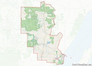
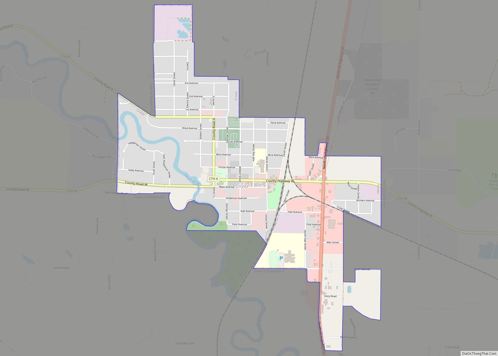
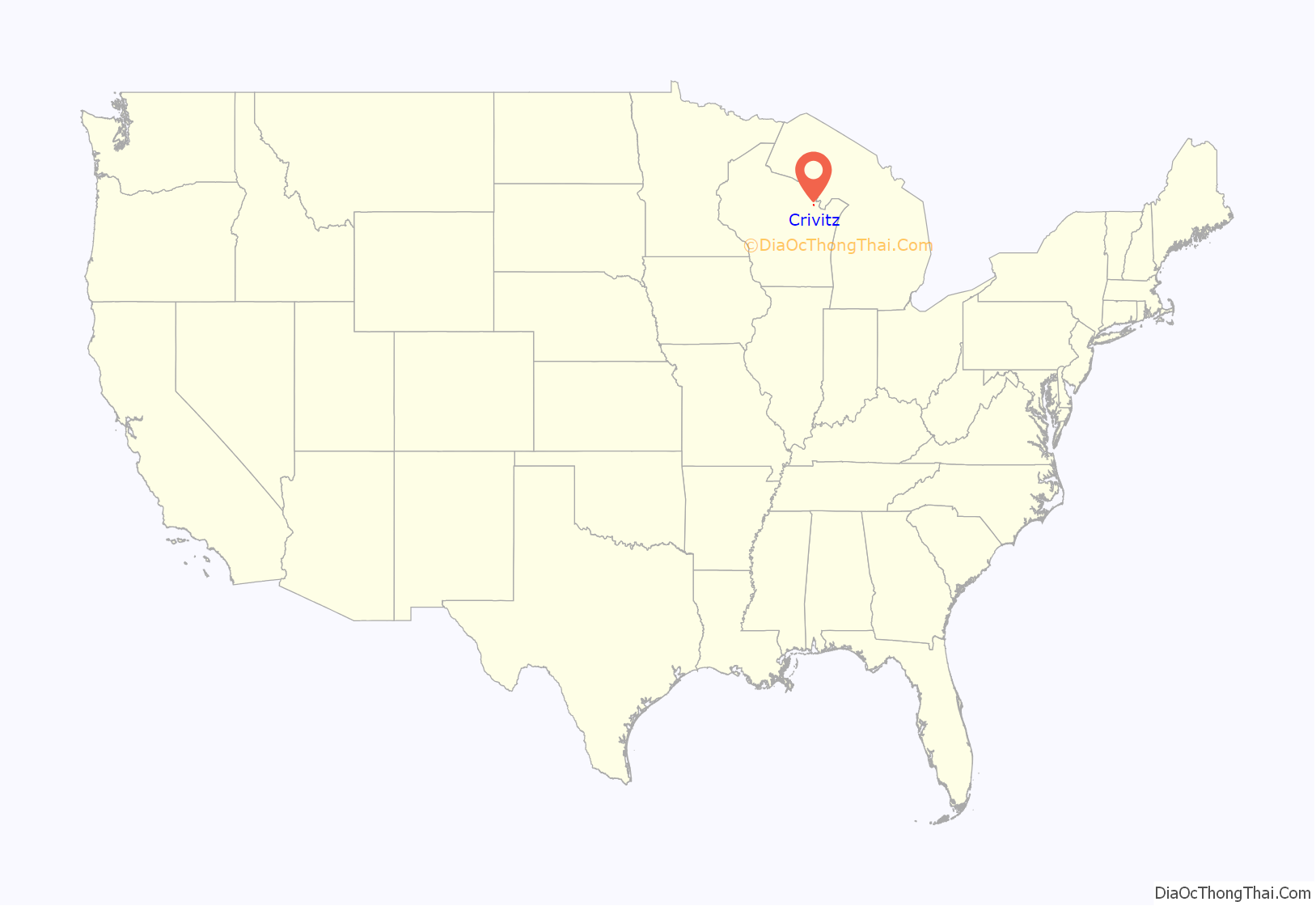
Crivitz is a village in Marinette County, Wisconsin, United States. The population was 984 at the 2010 census. It is part of the Marinette, WI–MI Micropolitan Statistical Area.
| Name: | Crivitz village |
|---|---|
| LSAD Code: | 47 |
| LSAD Description: | village (suffix) |
| State: | Wisconsin |
| County: | Marinette County |
| Elevation: | 679 ft (207 m) |
| Total Area: | 1.64 sq mi (4.25 km²) |
| Land Area: | 1.58 sq mi (4.11 km²) |
| Water Area: | 0.06 sq mi (0.14 km²) |
| Total Population: | 984 |
| Population Density: | 594.95/sq mi (229.72/km²) |
| Area code: | 715 & 534 |
| FIPS code: | 5517725 |
| GNISfeature ID: | 1563535 |
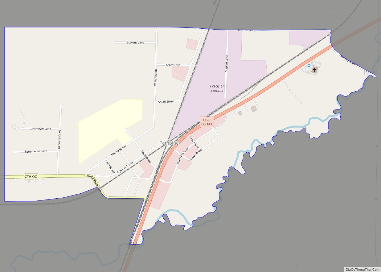
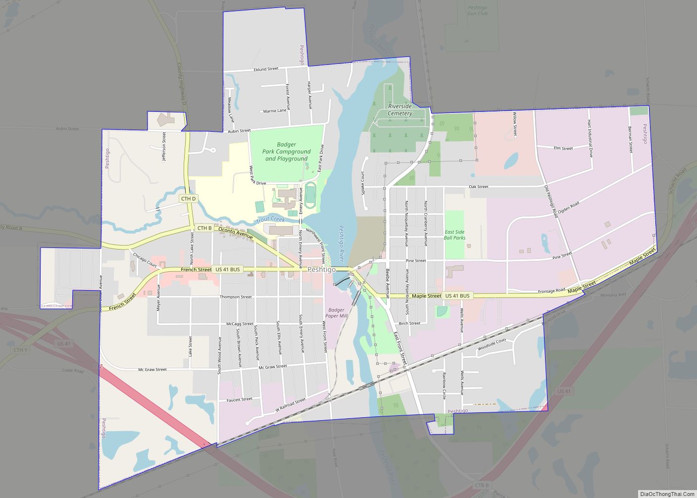
Online Interactive Map
Click on ![]() to view map in "full screen" mode.
to view map in "full screen" mode.
Crivitz location map. Where is Crivitz village?
History
Crivitz was surveyed and plotted in the summer of 1883. This work was filed with the Register of Deeds in Marinette County on 10 September 1883 by German immigrant Frederick John Bartels, who named the settlement after his home town of Crivitz, Germany.
The demographic character of the Crivitz area was shaped significantly after a typhoid epidemic in 1894, which shut down the sawmills. Hieronymus Zech (1849–1932), a mill operator from Chilton, took over operation of the inactive mills and promoted land sales to Polish immigrants, many of whom relocated from Milwaukee and Chicago. Zech built stores, houses, schools, and roads for the Polish colony. As a result, the local population today is predominantly Polish-American.
Crivitz was a town until 1913, when it was incorporated as the Village of Crivitz. The village hall, originally located at 600 Main Avenue, was later relocated at 800 Main Avenue. The downtown developed along Main Avenue in the 600 to 900 blocks from 1913 to 1924. In 1924 a devastating fire destroyed 22 buildings along the south side of Main Avenue. In 1927, the village was disincorporated and became the Town of Crivitz. The fire, disincorporation, and the start of the Great Depression in 1929 sealed the fate of Crivitz for many years.
A ski hill called Winterset was developed in Crivitz in 1961.
In 1974 Crivitz was once again incorporated as the Village of Crivitz, with the Village Hall at 800 Henriette Avenue. This was quickly followed by improvements in the water-sewer system, electrical system, and highway-transportation system. The village currently operates under its 1974 incorporation with a Village President (executive), a Board of Trustees (legislative), and a Municipal Judge (judicial). Village operations are carried out by the Public Works Department, Water-Sewer Department, Police Department, Fire Department, and Parks Department. In the 1980s the village business district moved to U.S. Highway 141 on the eastern edge of the village, along with the inclusion of Dyer Business Park in 2005. There has been no additional development in the downtown area of the village. The residential area has continued to expand both north and south between the railroad tracks and the Peshtigo River.
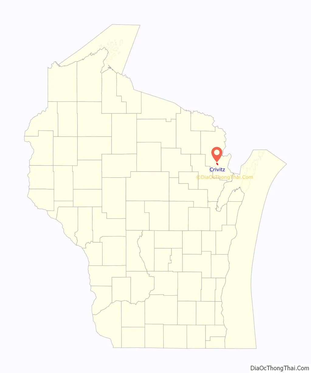
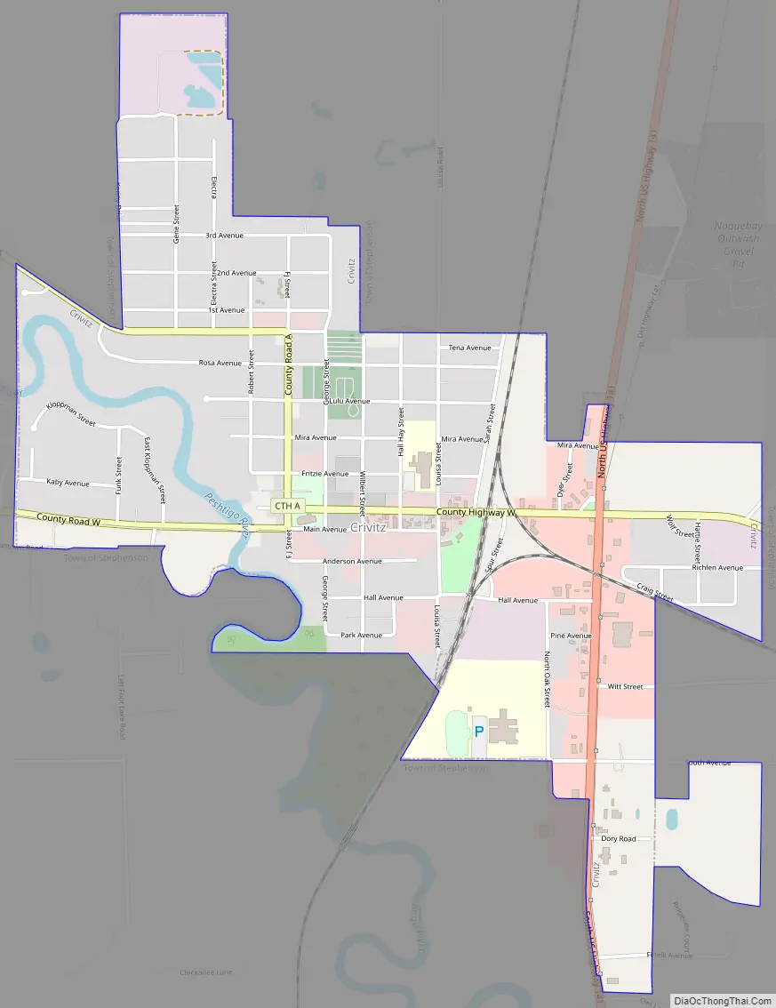
Crivitz Road Map
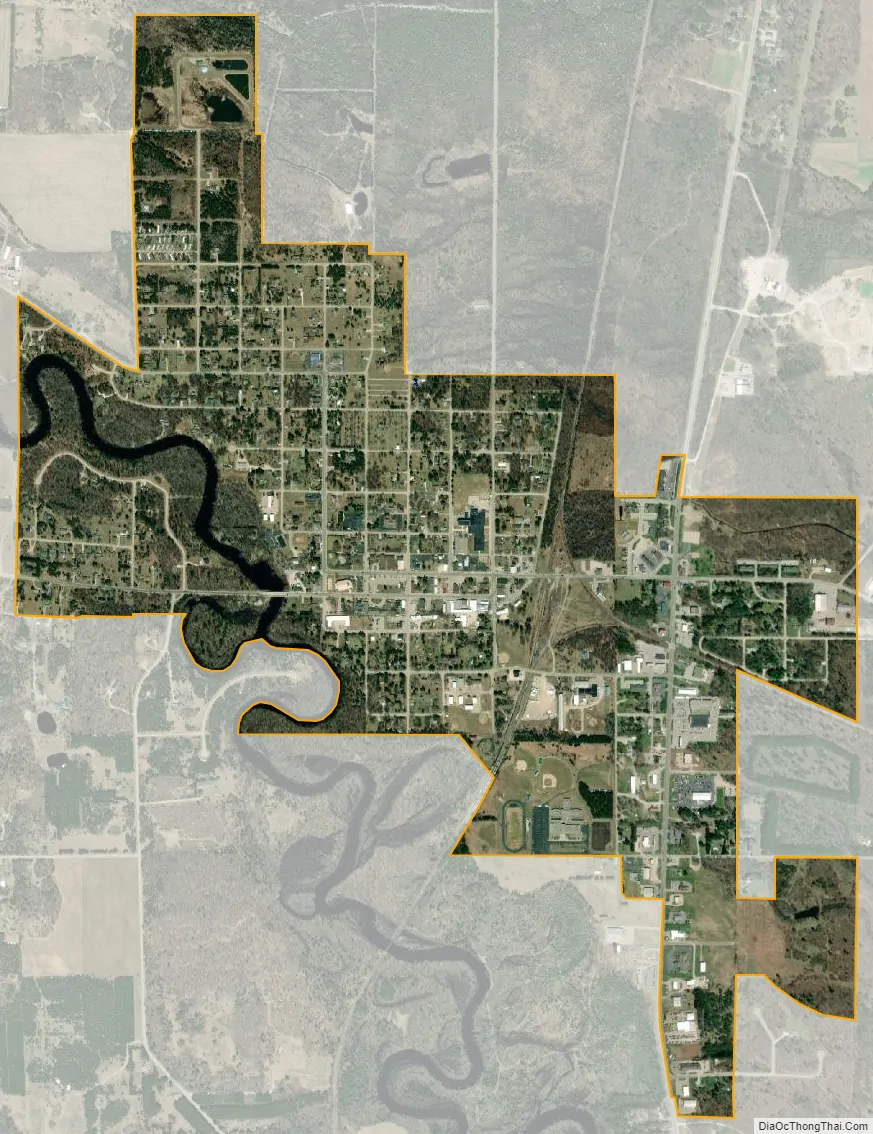
Crivitz city Satellite Map
Geography
Crivitz is located at 45°14′2″N 88°0′25″W / 45.23389°N 88.00694°W / 45.23389; -88.00694 (45.233915, -88.006955).
According to the United States Census Bureau, the village has a total area of 1.64 square miles (4.25 km), of which, 1.59 square miles (4.12 km) of it is land and 0.05 square miles (0.13 km) is water.
See also
Map of Wisconsin State and its subdivision:- Adams
- Ashland
- Barron
- Bayfield
- Brown
- Buffalo
- Burnett
- Calumet
- Chippewa
- Clark
- Columbia
- Crawford
- Dane
- Dodge
- Door
- Douglas
- Dunn
- Eau Claire
- Florence
- Fond du Lac
- Forest
- Grant
- Green
- Green Lake
- Iowa
- Iron
- Jackson
- Jefferson
- Juneau
- Kenosha
- Kewaunee
- La Crosse
- Lafayette
- Lake Michigan
- Lake Superior
- Langlade
- Lincoln
- Manitowoc
- Marathon
- Marinette
- Marquette
- Menominee
- Milwaukee
- Monroe
- Oconto
- Oneida
- Outagamie
- Ozaukee
- Pepin
- Pierce
- Polk
- Portage
- Price
- Racine
- Richland
- Rock
- Rusk
- Saint Croix
- Sauk
- Sawyer
- Shawano
- Sheboygan
- Taylor
- Trempealeau
- Vernon
- Vilas
- Walworth
- Washburn
- Washington
- Waukesha
- Waupaca
- Waushara
- Winnebago
- Wood
- Alabama
- Alaska
- Arizona
- Arkansas
- California
- Colorado
- Connecticut
- Delaware
- District of Columbia
- Florida
- Georgia
- Hawaii
- Idaho
- Illinois
- Indiana
- Iowa
- Kansas
- Kentucky
- Louisiana
- Maine
- Maryland
- Massachusetts
- Michigan
- Minnesota
- Mississippi
- Missouri
- Montana
- Nebraska
- Nevada
- New Hampshire
- New Jersey
- New Mexico
- New York
- North Carolina
- North Dakota
- Ohio
- Oklahoma
- Oregon
- Pennsylvania
- Rhode Island
- South Carolina
- South Dakota
- Tennessee
- Texas
- Utah
- Vermont
- Virginia
- Washington
- West Virginia
- Wisconsin
- Wyoming