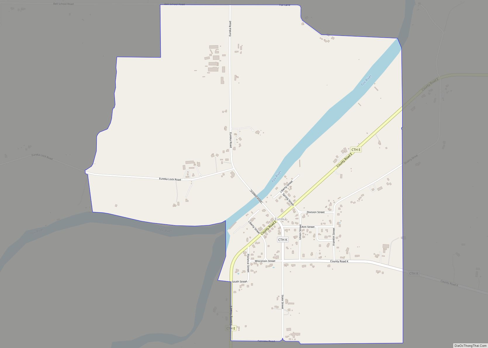
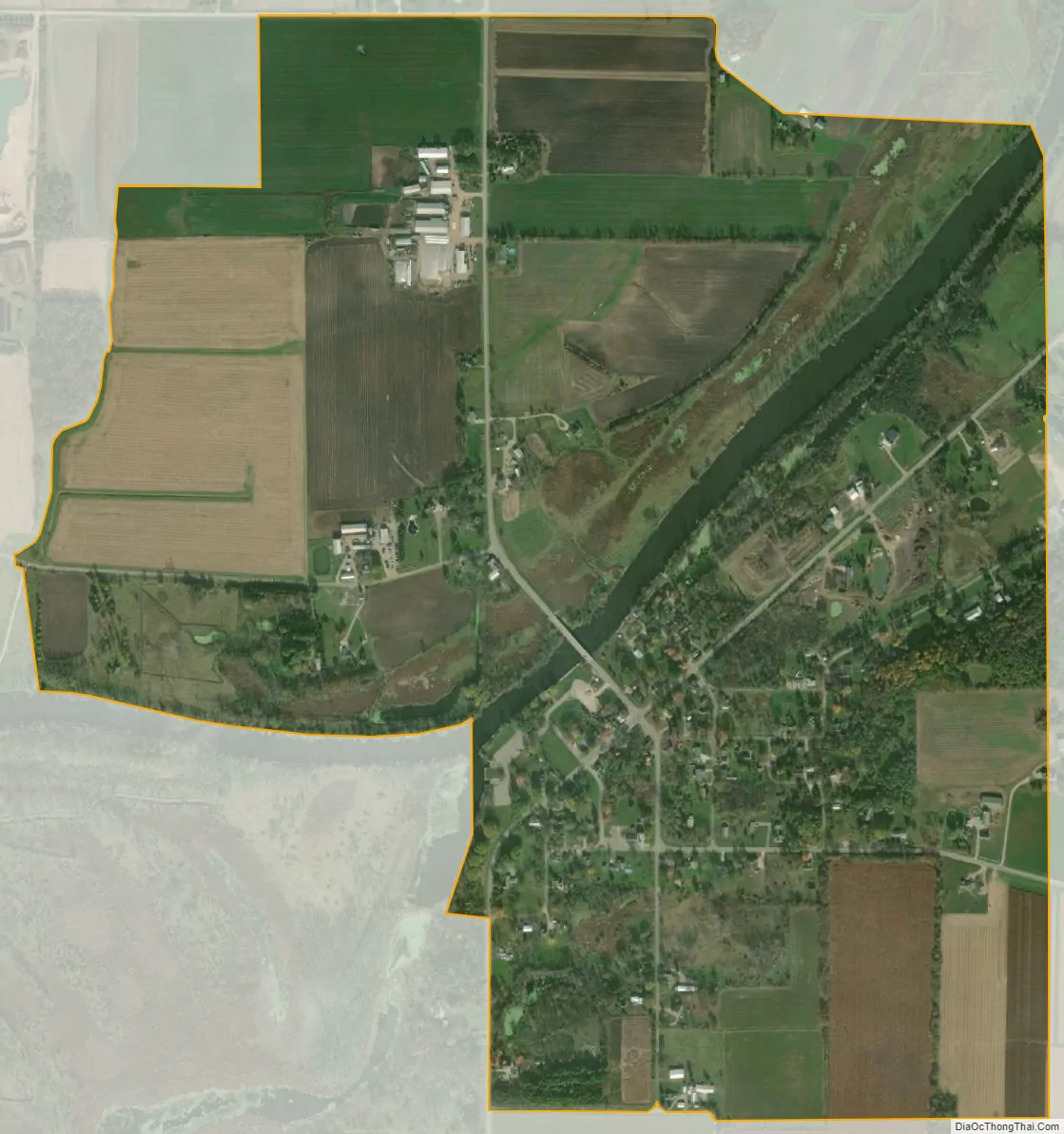
Eureka is an unincorporated census-designated place in the town of Rushford, in Winnebago County, Wisconsin, United States. It is located on the Fox River at the intersection of county highways K & E southwest of Omro. At the 2020 census, its population was 247.
| Name: | Eureka CDP |
|---|---|
| LSAD Code: | 57 |
| LSAD Description: | CDP (suffix) |
| State: | Wisconsin |
| County: | Winnebago County |
| Elevation: | 743 ft (226 m) |
| Total Area: | 1.071 sq mi (2.77 km²) |
| Land Area: | 1.024 sq mi (2.65 km²) |
| Water Area: | 0.047 sq mi (0.12 km²) |
| Total Population: | 247 |
| Population Density: | 230/sq mi (89/km²) |
| Area code: | 920 |
| FIPS code: | 5524475 |
| GNISfeature ID: | 2586486 |
Online Interactive Map
Click on ![]() to view map in "full screen" mode.
to view map in "full screen" mode.
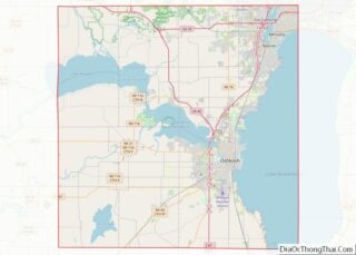
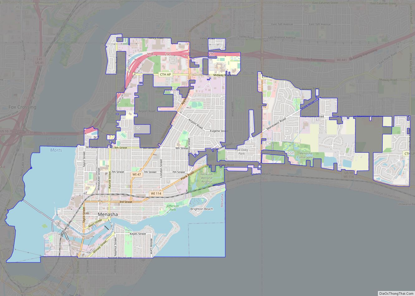
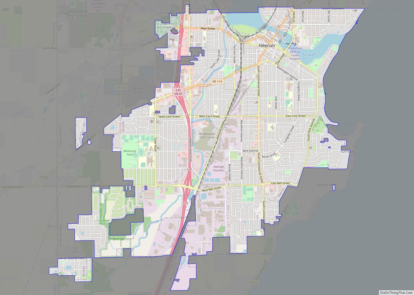
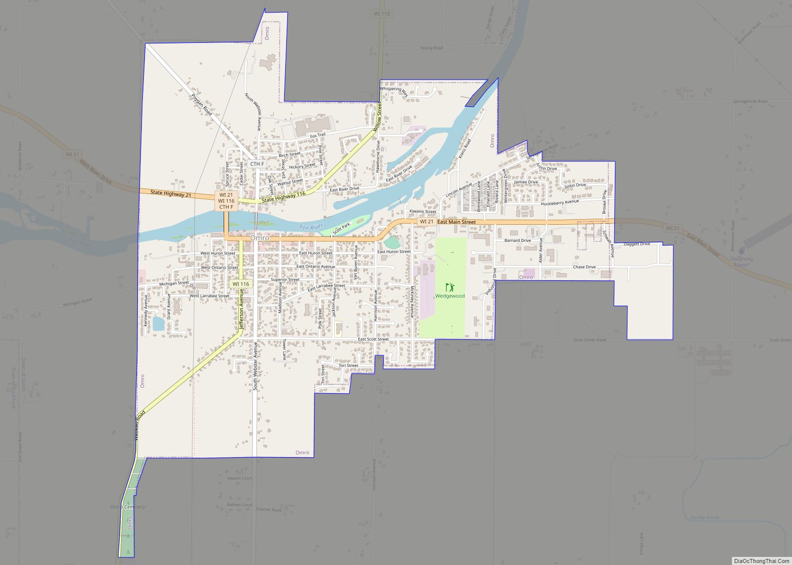
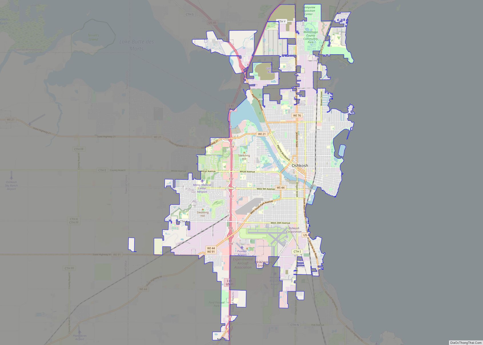
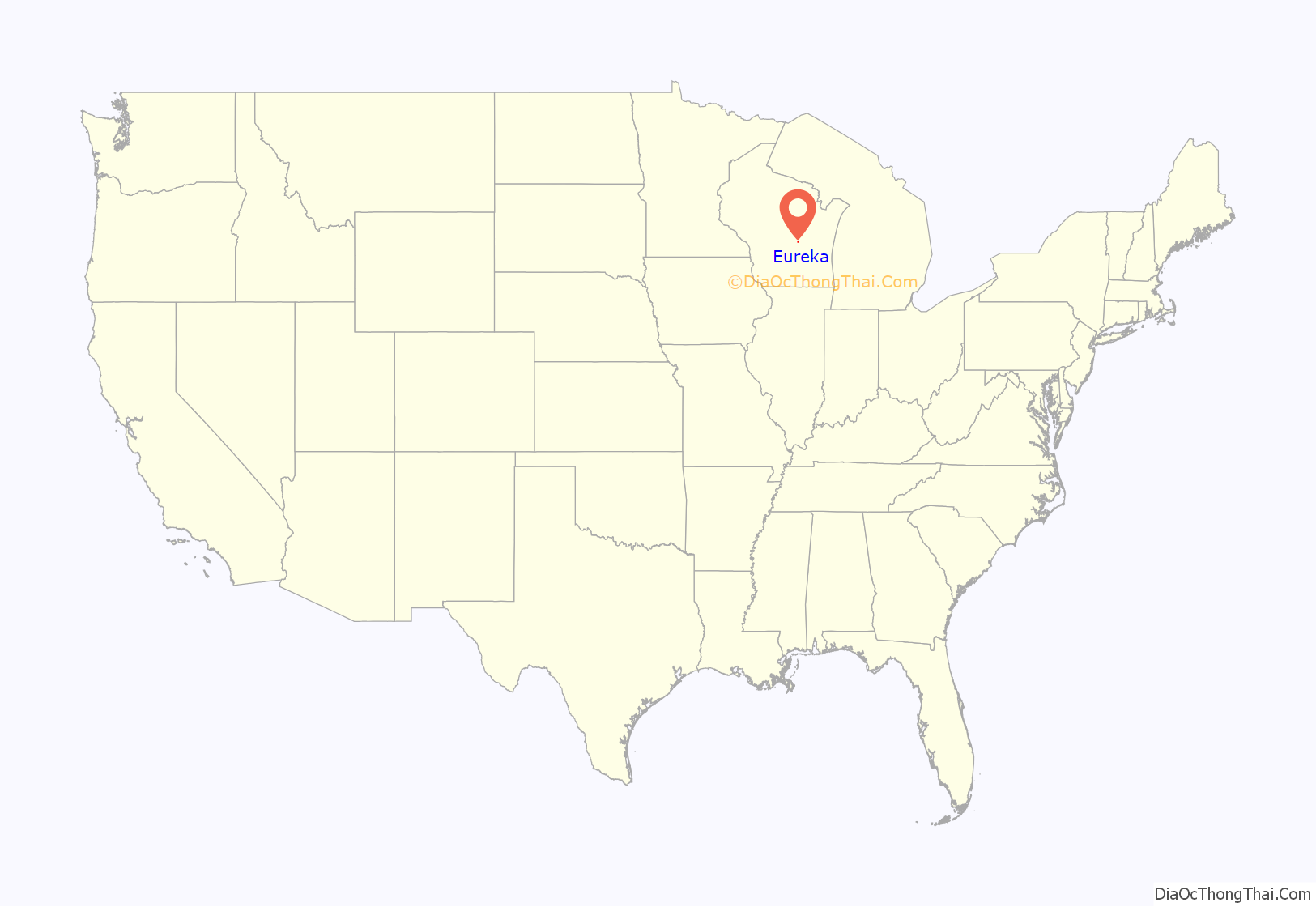
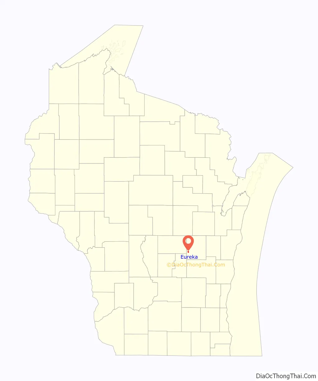
Eureka location map. Where is Eureka CDP?
History
Eureka is situated on the south bank of the Fox River. Lester Rounds moved his stock of goods from Waukau to the site of Eureka in 1850, where he was joined by Walton C. Dickerson, who moved from Nepeuskun. They became the first settlers and founders of Eureka, a plot of which was recorded on 24 July 1850, of which Rounds, Dickerson and Starr were proprietors. A ferry was established across the Fox River at this point, during the same season, and four years later a bridge was constructed. The post office was authorized on 16 July 1850 and Lester Rounds was appointed postmaster. A steamboat landing and warehouse was built by Dickerson for the accommodation of the daily line of steamboats on the river, running between Oshkosh and Berlin. The sawmills along the river at Eureka, Delhi, Omro and Berlin were supplied with pine logs from the Wolf River, which were towed up the Fox River at first by horsepower boats or tugs.
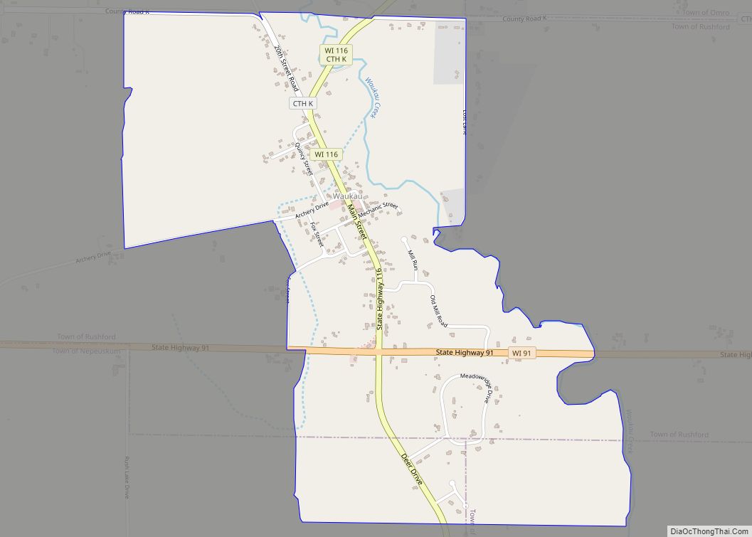
Eureka Road Map
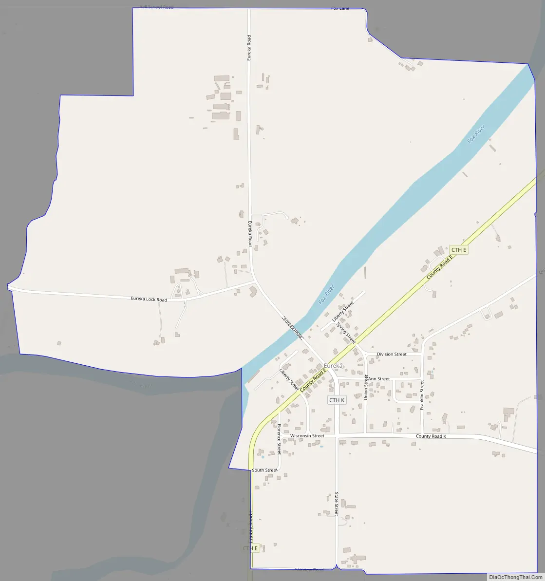
Eureka city Satellite Map
See also
Map of Wisconsin State and its subdivision:- Adams
- Ashland
- Barron
- Bayfield
- Brown
- Buffalo
- Burnett
- Calumet
- Chippewa
- Clark
- Columbia
- Crawford
- Dane
- Dodge
- Door
- Douglas
- Dunn
- Eau Claire
- Florence
- Fond du Lac
- Forest
- Grant
- Green
- Green Lake
- Iowa
- Iron
- Jackson
- Jefferson
- Juneau
- Kenosha
- Kewaunee
- La Crosse
- Lafayette
- Lake Michigan
- Lake Superior
- Langlade
- Lincoln
- Manitowoc
- Marathon
- Marinette
- Marquette
- Menominee
- Milwaukee
- Monroe
- Oconto
- Oneida
- Outagamie
- Ozaukee
- Pepin
- Pierce
- Polk
- Portage
- Price
- Racine
- Richland
- Rock
- Rusk
- Saint Croix
- Sauk
- Sawyer
- Shawano
- Sheboygan
- Taylor
- Trempealeau
- Vernon
- Vilas
- Walworth
- Washburn
- Washington
- Waukesha
- Waupaca
- Waushara
- Winnebago
- Wood
- Alabama
- Alaska
- Arizona
- Arkansas
- California
- Colorado
- Connecticut
- Delaware
- District of Columbia
- Florida
- Georgia
- Hawaii
- Idaho
- Illinois
- Indiana
- Iowa
- Kansas
- Kentucky
- Louisiana
- Maine
- Maryland
- Massachusetts
- Michigan
- Minnesota
- Mississippi
- Missouri
- Montana
- Nebraska
- Nevada
- New Hampshire
- New Jersey
- New Mexico
- New York
- North Carolina
- North Dakota
- Ohio
- Oklahoma
- Oregon
- Pennsylvania
- Rhode Island
- South Carolina
- South Dakota
- Tennessee
- Texas
- Utah
- Vermont
- Virginia
- Washington
- West Virginia
- Wisconsin
- Wyoming