Haugen (/ˈhɑːɡən/ HAH-gən) is a village in Barron County in the U.S. state of Wisconsin. The population was 287 at the 2010 census.
| Name: | Haugen village |
|---|---|
| LSAD Code: | 47 |
| LSAD Description: | village (suffix) |
| State: | Wisconsin |
| County: | Barron County |
| Elevation: | 1,230 ft (375 m) |
| Total Area: | 0.51 sq mi (1.32 km²) |
| Land Area: | 0.50 sq mi (1.31 km²) |
| Water Area: | 0.01 sq mi (0.02 km²) |
| Total Population: | 287 |
| Population Density: | 543.65/sq mi (209.87/km²) |
| Area code: | 715 & 534 |
| FIPS code: | 5533225 |
| GNISfeature ID: | 1566142 |
| Website: | http://www.villageofhaugen.com/ |
Online Interactive Map
Click on ![]() to view map in "full screen" mode.
to view map in "full screen" mode.
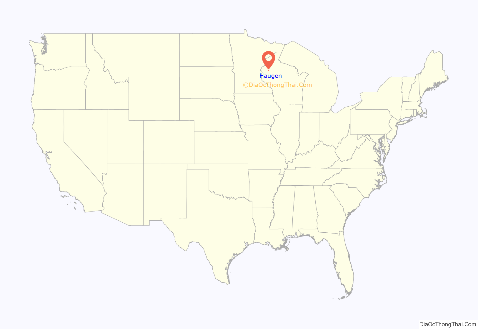
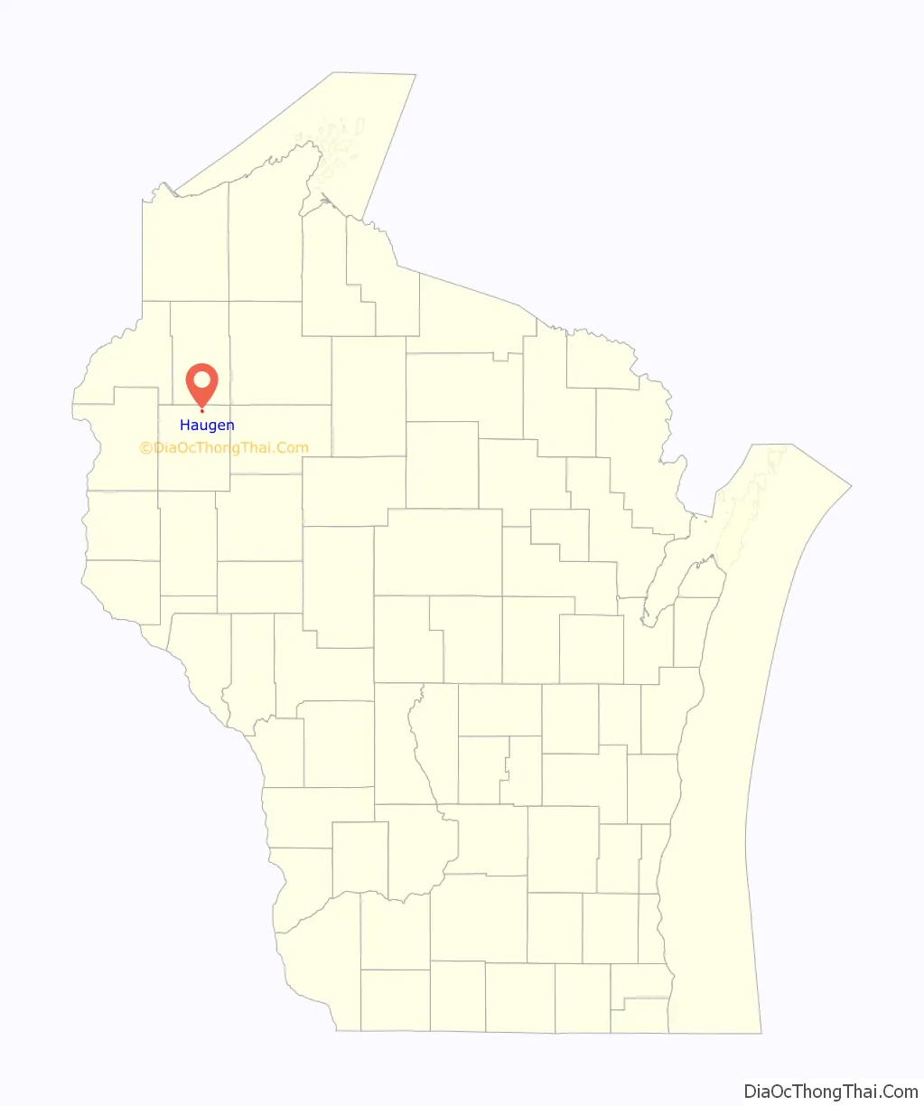
Haugen location map. Where is Haugen village?
History
Haugen was named in 1886 after the Norwegian settler Nils P. Haugen who emigrated from Buskerud, Norway in 1854, a local landowner, lawyer and congressman. A post office called Haugen has been in operation since 1889.
The ZCBJ Hall in Haugen, a historical meeting place for Czech-Americans, is listed on the National Register of Historic Places.
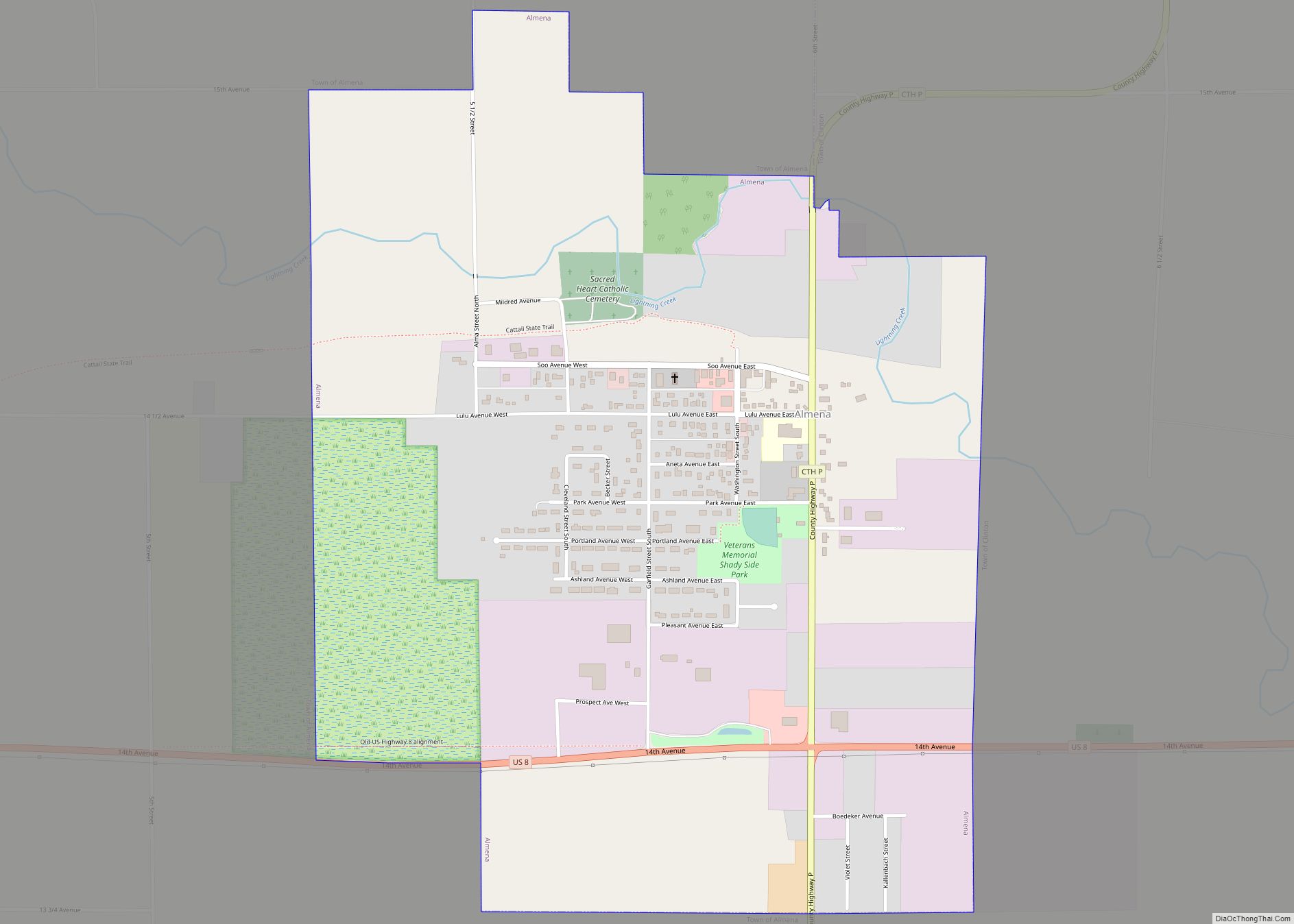
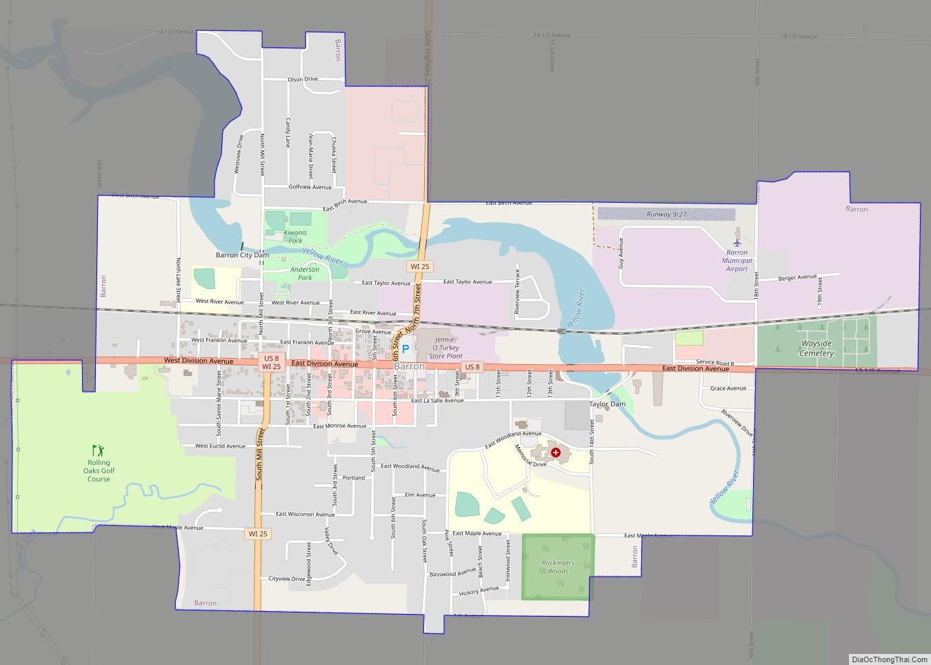
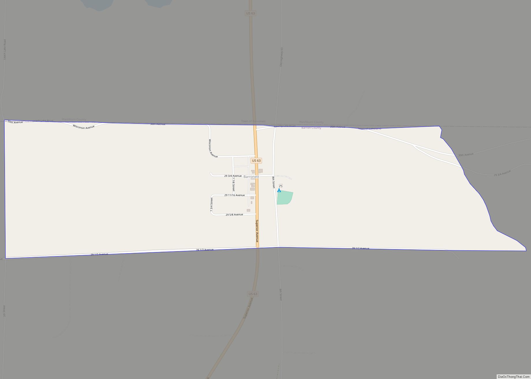
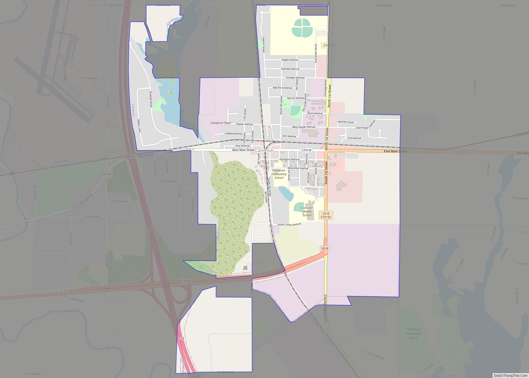
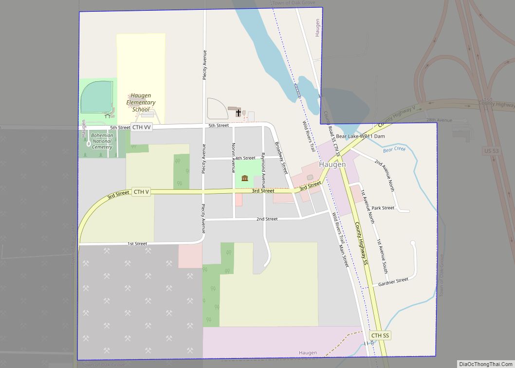
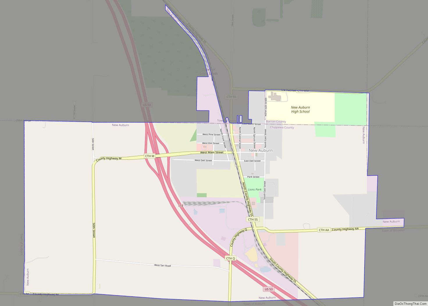
Haugen Road Map
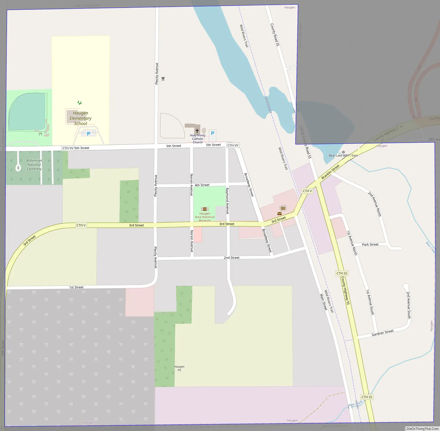
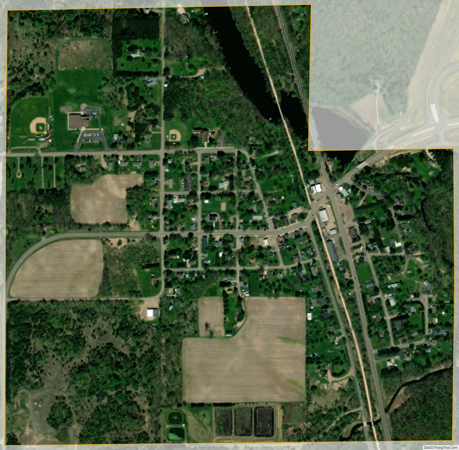
Haugen city Satellite Map
Geography
Haugen is located at 45°36′31″N 91°46′39″W / 45.60861°N 91.77750°W / 45.60861; -91.77750 (45.608497, -91.777379).
According to the United States Census Bureau, the village has a total area of 0.52 square miles (1.35 km), of which, 0.51 square miles (1.32 km) of it is land and 0.01 square miles (0.03 km) is water.
Haugen is along U.S. Highway 53; and also County Road SS, and County Road V.
See also
Map of Wisconsin State and its subdivision:- Adams
- Ashland
- Barron
- Bayfield
- Brown
- Buffalo
- Burnett
- Calumet
- Chippewa
- Clark
- Columbia
- Crawford
- Dane
- Dodge
- Door
- Douglas
- Dunn
- Eau Claire
- Florence
- Fond du Lac
- Forest
- Grant
- Green
- Green Lake
- Iowa
- Iron
- Jackson
- Jefferson
- Juneau
- Kenosha
- Kewaunee
- La Crosse
- Lafayette
- Lake Michigan
- Lake Superior
- Langlade
- Lincoln
- Manitowoc
- Marathon
- Marinette
- Marquette
- Menominee
- Milwaukee
- Monroe
- Oconto
- Oneida
- Outagamie
- Ozaukee
- Pepin
- Pierce
- Polk
- Portage
- Price
- Racine
- Richland
- Rock
- Rusk
- Saint Croix
- Sauk
- Sawyer
- Shawano
- Sheboygan
- Taylor
- Trempealeau
- Vernon
- Vilas
- Walworth
- Washburn
- Washington
- Waukesha
- Waupaca
- Waushara
- Winnebago
- Wood
- Alabama
- Alaska
- Arizona
- Arkansas
- California
- Colorado
- Connecticut
- Delaware
- District of Columbia
- Florida
- Georgia
- Hawaii
- Idaho
- Illinois
- Indiana
- Iowa
- Kansas
- Kentucky
- Louisiana
- Maine
- Maryland
- Massachusetts
- Michigan
- Minnesota
- Mississippi
- Missouri
- Montana
- Nebraska
- Nevada
- New Hampshire
- New Jersey
- New Mexico
- New York
- North Carolina
- North Dakota
- Ohio
- Oklahoma
- Oregon
- Pennsylvania
- Rhode Island
- South Carolina
- South Dakota
- Tennessee
- Texas
- Utah
- Vermont
- Virginia
- Washington
- West Virginia
- Wisconsin
- Wyoming