Hobart is a village in Brown County in the U.S. state of Wisconsin. The population was over 10,000 at the 2020 census. Hobart is a part of the Green Bay Metropolitan Statistical Area. The village is located entirely within the former treaty boundaries of the Oneida Nation of Wisconsin.
| Name: | Hobart village |
|---|---|
| LSAD Code: | 47 |
| LSAD Description: | village (suffix) |
| State: | Wisconsin |
| County: | Brown County |
| Elevation: | 682 ft (208 m) |
| Total Area: | 33.14 sq mi (85.83 km²) |
| Land Area: | 33.02 sq mi (85.53 km²) |
| Water Area: | 0.12 sq mi (0.31 km²) |
| Total Population: | 10,000+ |
| Population Density: | 305.31/sq mi (117.88/km²) |
| Area code: | 920 |
| FIPS code: | 5535150 |
| GNISfeature ID: | 1583399 |
| Website: | hobart-wi.org |
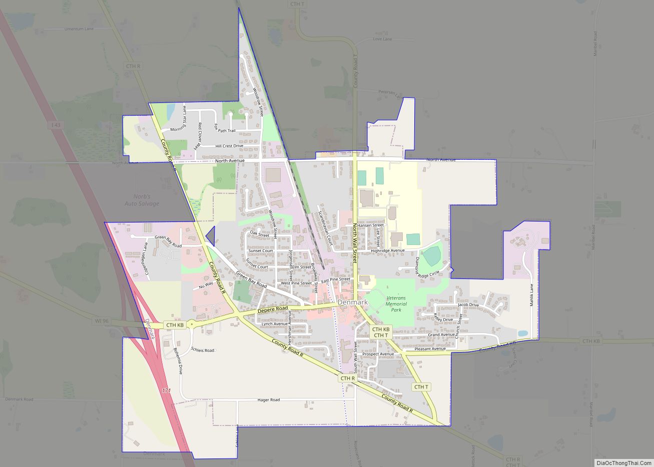
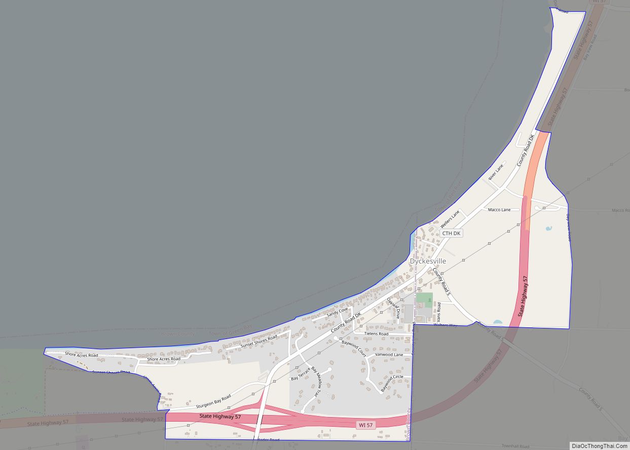
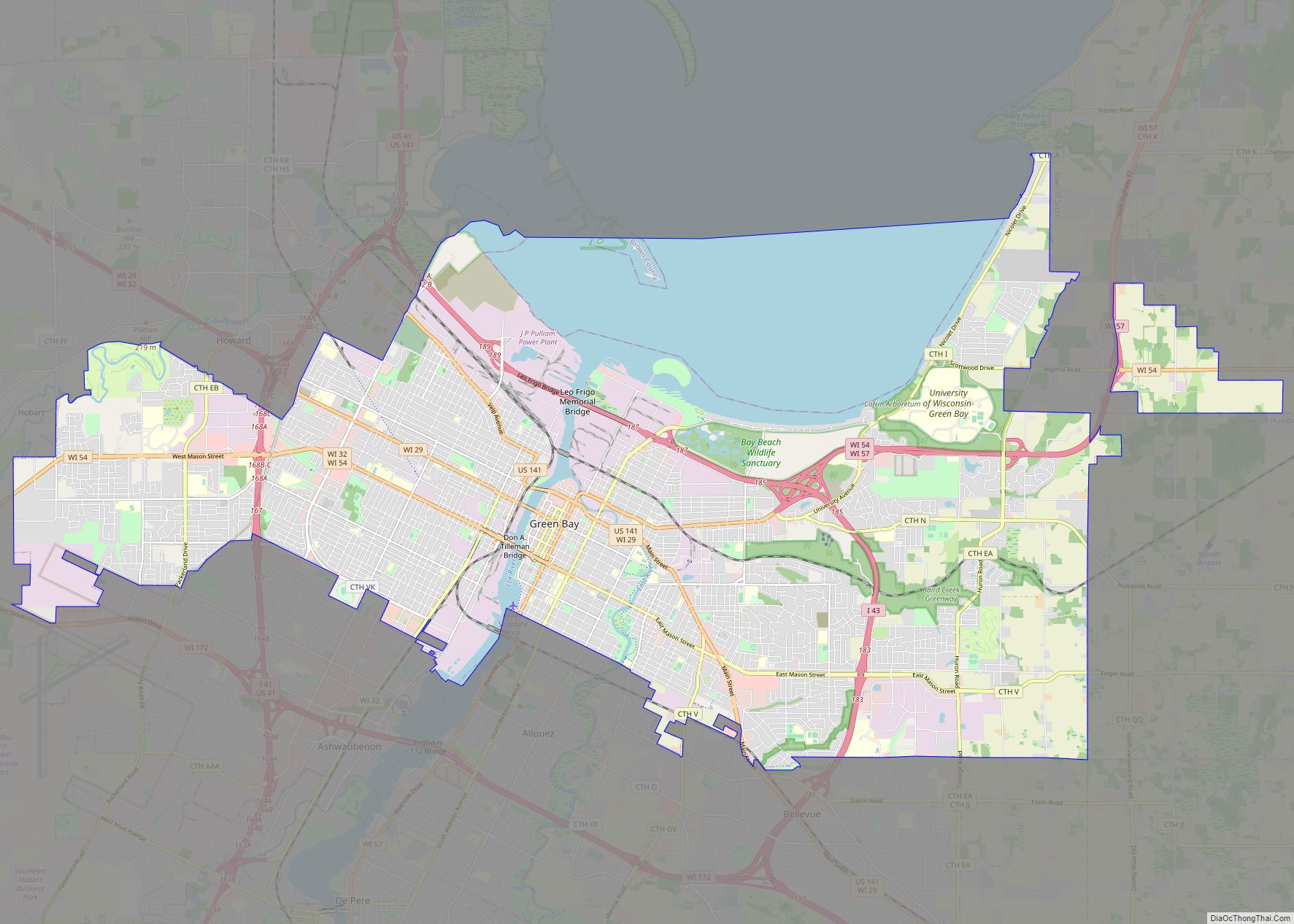
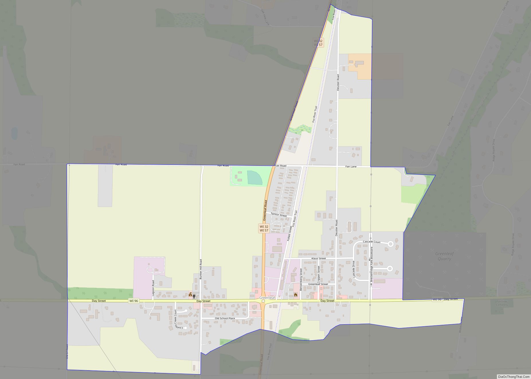
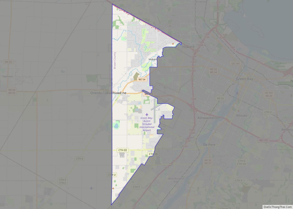
Online Interactive Map
Click on ![]() to view map in "full screen" mode.
to view map in "full screen" mode.
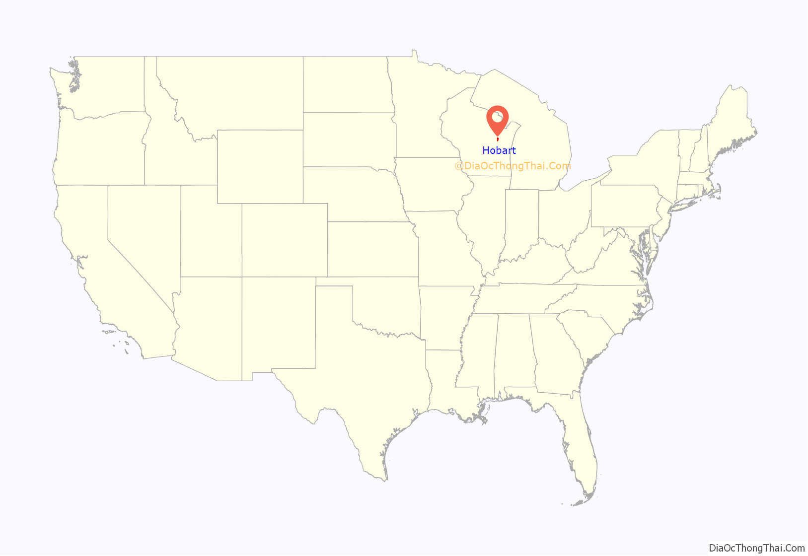
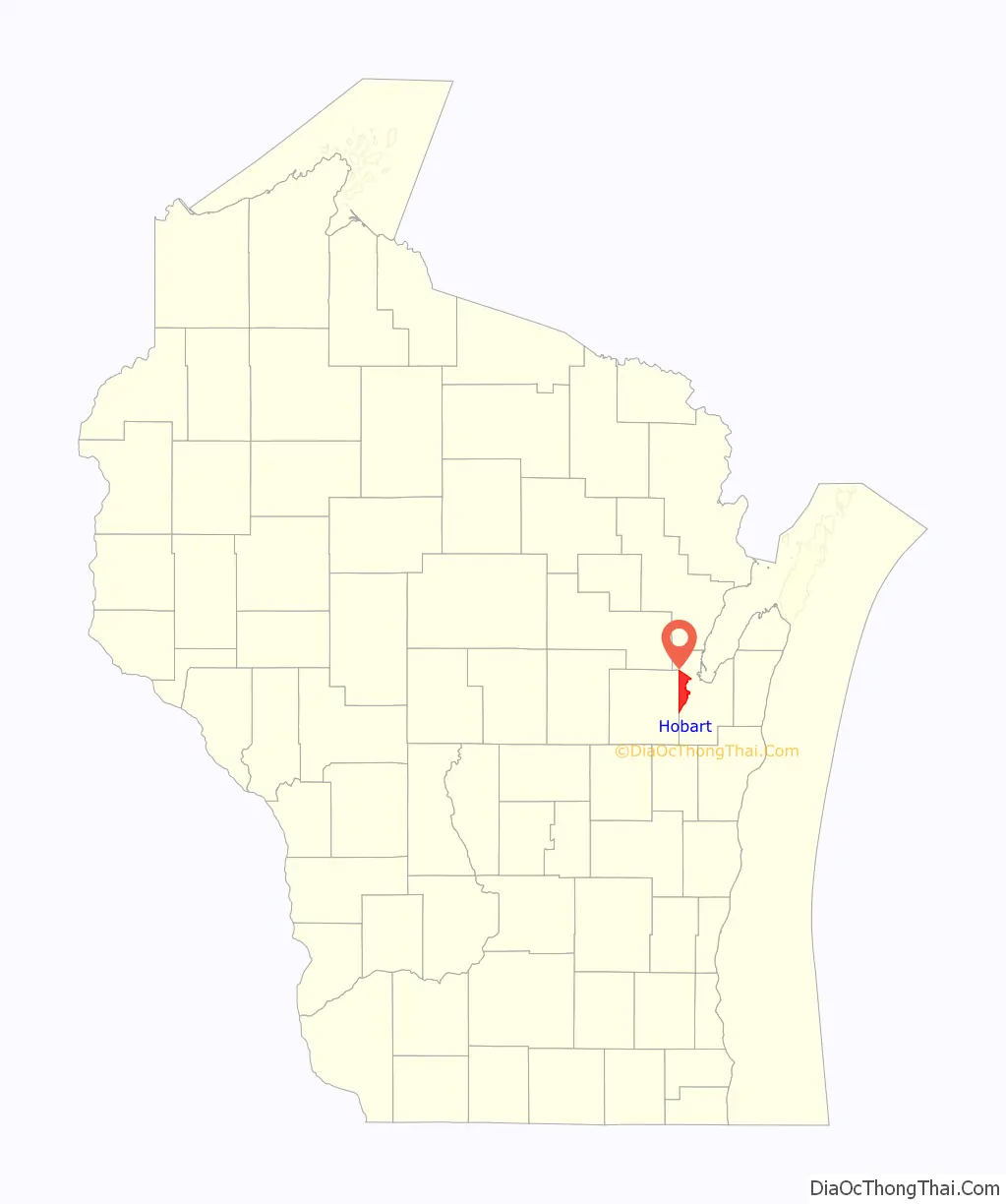
Hobart location map. Where is Hobart village?
History
On May 13, 2002 the Town of Hobart incorporated as a village. Hobart is named for Episcopal Bishop John Henry Hobart of New York who sent missionaries to the Oneida people and ministered to them after removal from New York to Wisconsin.
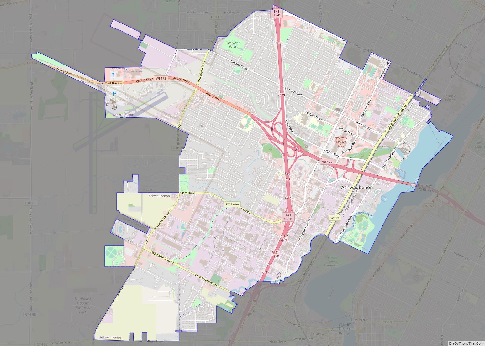
Hobart Road Map
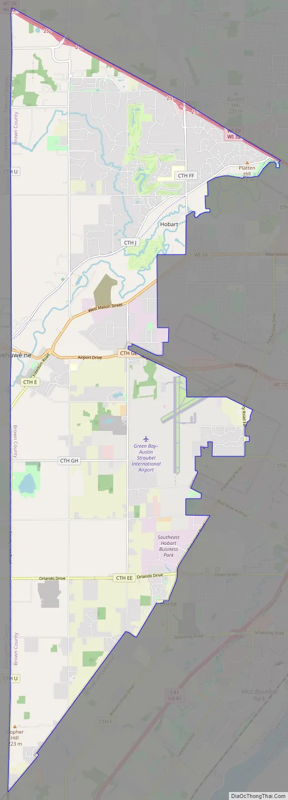
Hobart city Satellite Map

Geography
According to the United States Census Bureau, the village has a total area of 33.06 square miles (85.63 km), of which, 32.95 square miles (85.34 km) of it is land and 0.11 square miles (0.28 km) is water.
See also
Map of Wisconsin State and its subdivision:- Adams
- Ashland
- Barron
- Bayfield
- Brown
- Buffalo
- Burnett
- Calumet
- Chippewa
- Clark
- Columbia
- Crawford
- Dane
- Dodge
- Door
- Douglas
- Dunn
- Eau Claire
- Florence
- Fond du Lac
- Forest
- Grant
- Green
- Green Lake
- Iowa
- Iron
- Jackson
- Jefferson
- Juneau
- Kenosha
- Kewaunee
- La Crosse
- Lafayette
- Lake Michigan
- Lake Superior
- Langlade
- Lincoln
- Manitowoc
- Marathon
- Marinette
- Marquette
- Menominee
- Milwaukee
- Monroe
- Oconto
- Oneida
- Outagamie
- Ozaukee
- Pepin
- Pierce
- Polk
- Portage
- Price
- Racine
- Richland
- Rock
- Rusk
- Saint Croix
- Sauk
- Sawyer
- Shawano
- Sheboygan
- Taylor
- Trempealeau
- Vernon
- Vilas
- Walworth
- Washburn
- Washington
- Waukesha
- Waupaca
- Waushara
- Winnebago
- Wood
- Alabama
- Alaska
- Arizona
- Arkansas
- California
- Colorado
- Connecticut
- Delaware
- District of Columbia
- Florida
- Georgia
- Hawaii
- Idaho
- Illinois
- Indiana
- Iowa
- Kansas
- Kentucky
- Louisiana
- Maine
- Maryland
- Massachusetts
- Michigan
- Minnesota
- Mississippi
- Missouri
- Montana
- Nebraska
- Nevada
- New Hampshire
- New Jersey
- New Mexico
- New York
- North Carolina
- North Dakota
- Ohio
- Oklahoma
- Oregon
- Pennsylvania
- Rhode Island
- South Carolina
- South Dakota
- Tennessee
- Texas
- Utah
- Vermont
- Virginia
- Washington
- West Virginia
- Wisconsin
- Wyoming