Holmen is a village in La Crosse County, Wisconsin, United States. The population was 10,661 as of the census of 2020. It is part of the La Crosse-Onalaska, WI-MN Metropolitan Statistical Area.
| Name: | Holmen village |
|---|---|
| LSAD Code: | 47 |
| LSAD Description: | village (suffix) |
| State: | Wisconsin |
| County: | La Crosse County |
| Incorporated: | May 7, 1946 |
| Elevation: | 705 ft (215 m) |
| Total Area: | 7.26 sq mi (18.81 km²) |
| Land Area: | 7.26 sq mi (18.81 km²) |
| Water Area: | 0.00 sq mi (0.00 km²) |
| Total Population: | 10,661 |
| Population Density: | 1,381.71/sq mi (533.45/km²) |
| Area code: | 608 |
| FIPS code: | 5535450 |
| GNISfeature ID: | 1566559 |
| Website: | www.holmenwi.com |
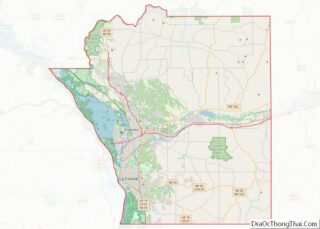
Online Interactive Map
Click on ![]() to view map in "full screen" mode.
to view map in "full screen" mode.
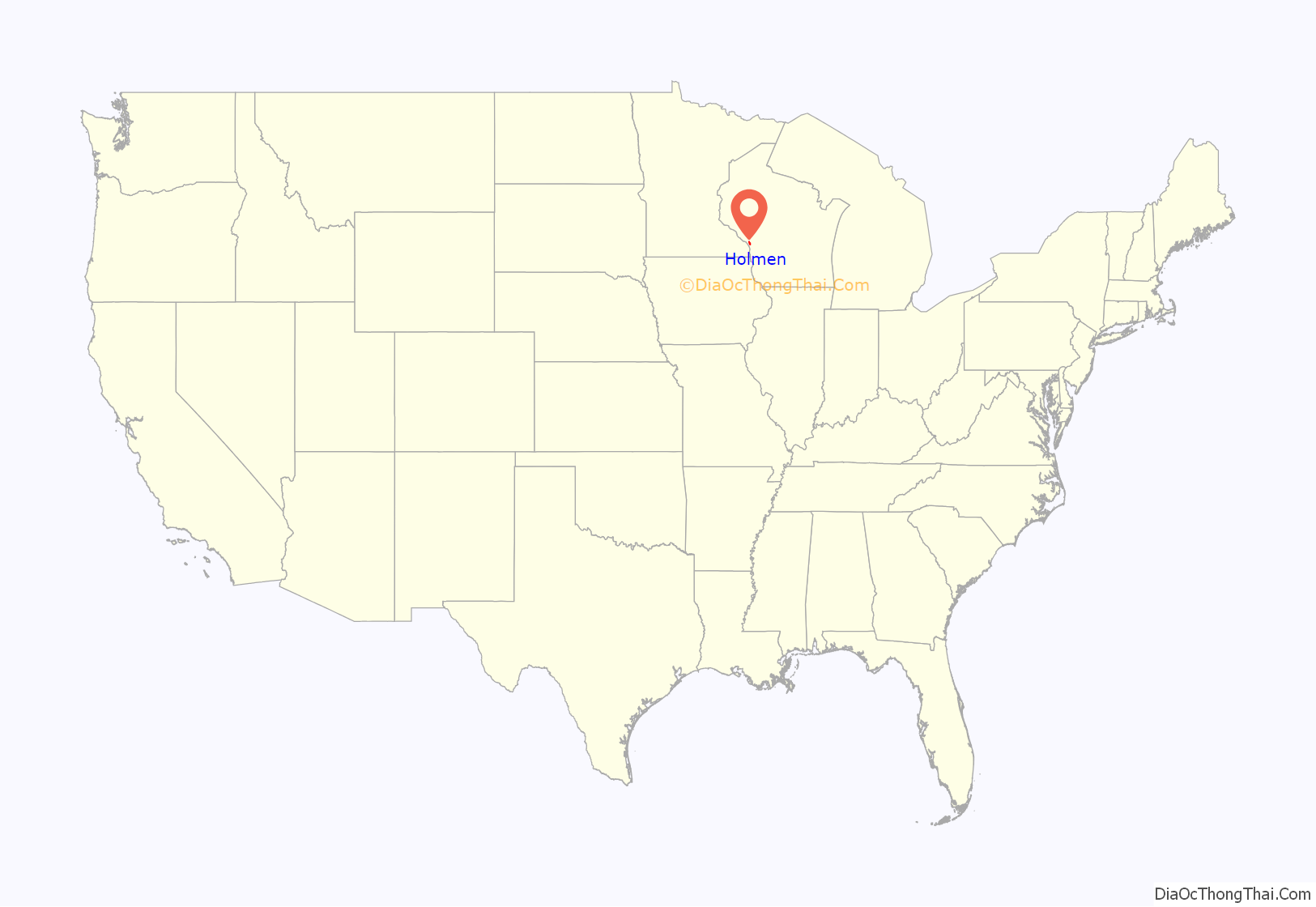
Holmen location map. Where is Holmen village?
History
Holmen was settled by Norwegian immigrants in 1862. It was incorporated as a village on May 7, 1946. The community was previously known as Frederickstown, to honor Holmen’s blacksmith Frederick Anderson. The name was changed when Charles A. Sjolander opened the post office in September 1875. The name Holmen is a norwegian word and translates to islet (a small island).
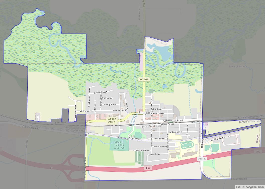
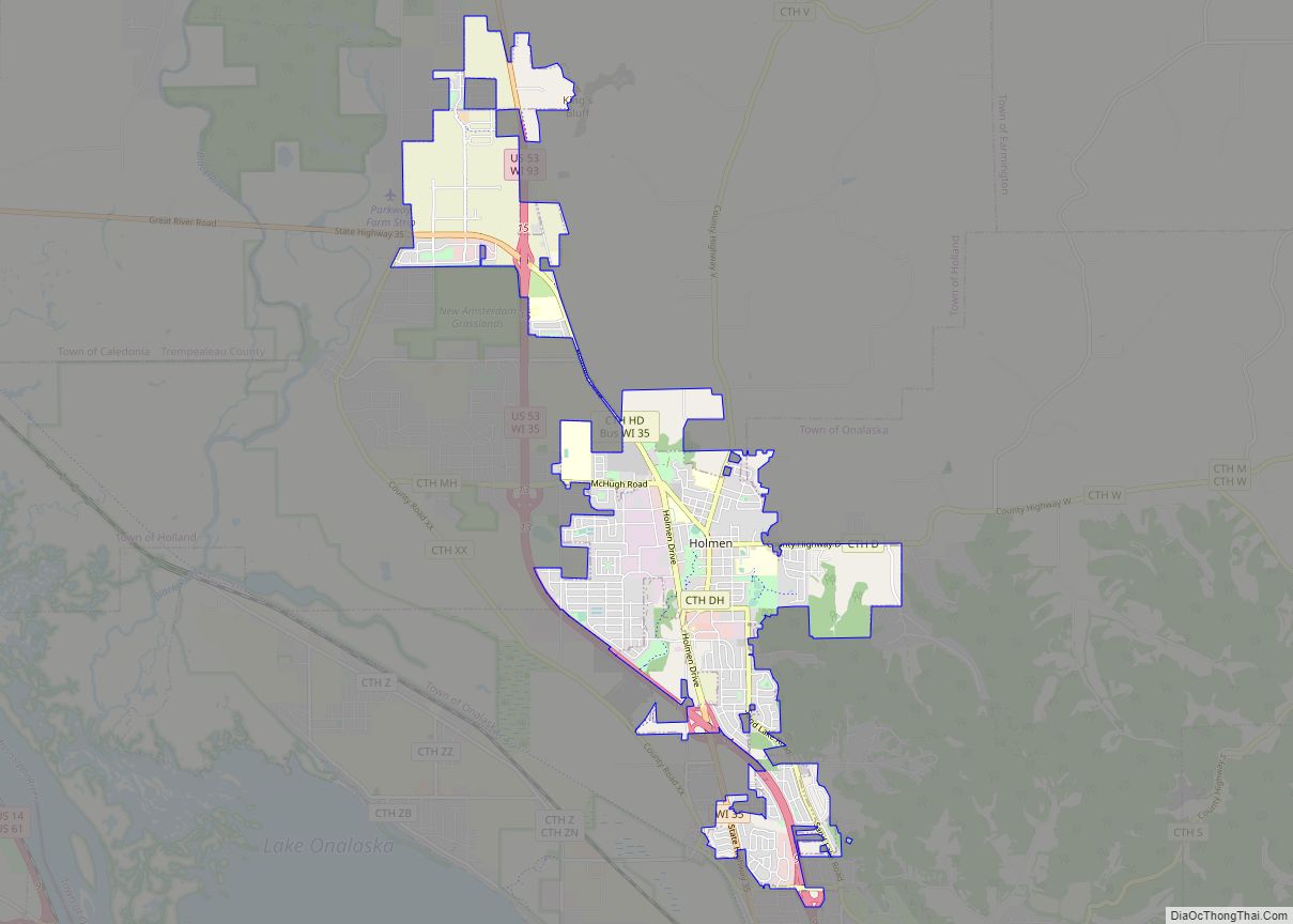
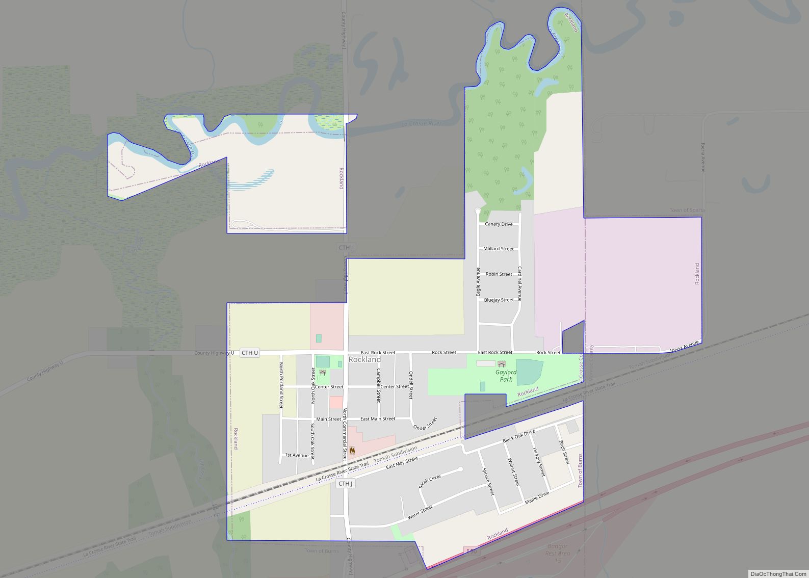
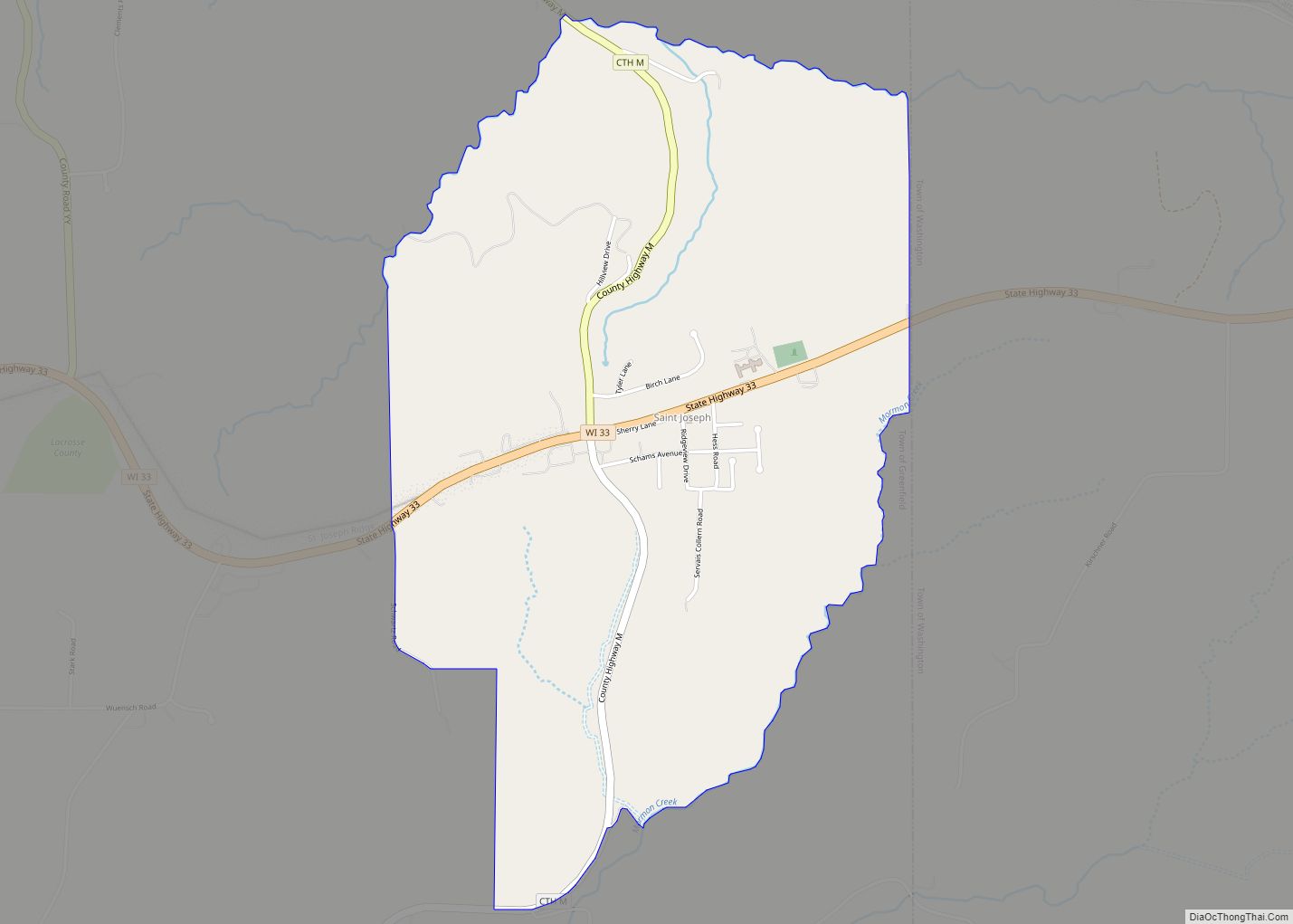
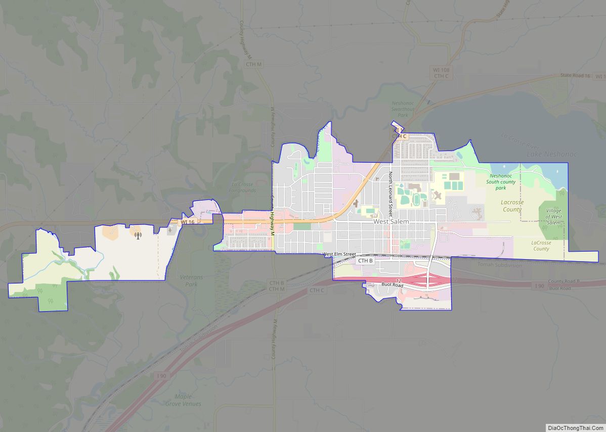
Holmen Road Map
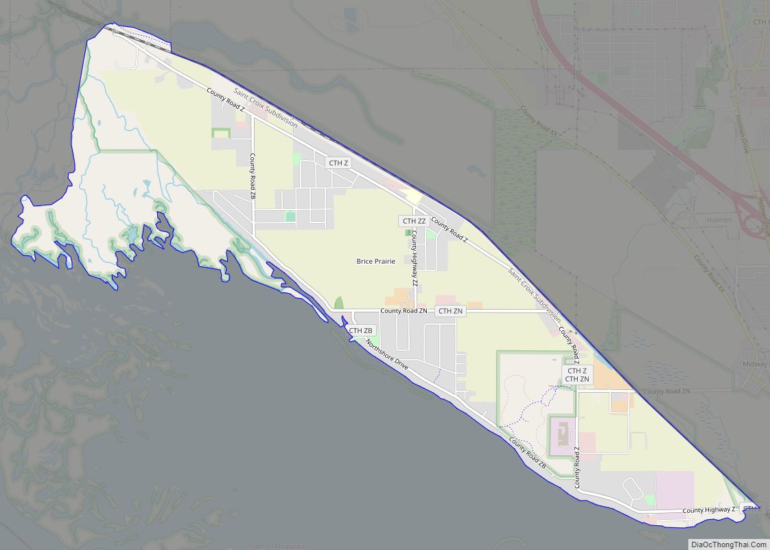
Holmen city Satellite Map
Geography
Holmen contains wooded areas, hills, and bluffs, typical of the Driftless Area, or Coulee Region. The Mississippi River passes just to the southwest of the village.
Holmen is located at 43°57′19″N 91°15′33″W / 43.95528°N 91.25917°W / 43.95528; -91.25917 (43.955330, −91.259132). According to the United States Census Bureau, the village has a total area of 5.20 square miles (13.47 km), all land. Star Hill is a prominent bluff adjacent to downtown Holmen and is one of the tallest areas of the village. The hill gets its name from a light up star on top of the hill.
See also
Map of Wisconsin State and its subdivision:- Adams
- Ashland
- Barron
- Bayfield
- Brown
- Buffalo
- Burnett
- Calumet
- Chippewa
- Clark
- Columbia
- Crawford
- Dane
- Dodge
- Door
- Douglas
- Dunn
- Eau Claire
- Florence
- Fond du Lac
- Forest
- Grant
- Green
- Green Lake
- Iowa
- Iron
- Jackson
- Jefferson
- Juneau
- Kenosha
- Kewaunee
- La Crosse
- Lafayette
- Lake Michigan
- Lake Superior
- Langlade
- Lincoln
- Manitowoc
- Marathon
- Marinette
- Marquette
- Menominee
- Milwaukee
- Monroe
- Oconto
- Oneida
- Outagamie
- Ozaukee
- Pepin
- Pierce
- Polk
- Portage
- Price
- Racine
- Richland
- Rock
- Rusk
- Saint Croix
- Sauk
- Sawyer
- Shawano
- Sheboygan
- Taylor
- Trempealeau
- Vernon
- Vilas
- Walworth
- Washburn
- Washington
- Waukesha
- Waupaca
- Waushara
- Winnebago
- Wood
- Alabama
- Alaska
- Arizona
- Arkansas
- California
- Colorado
- Connecticut
- Delaware
- District of Columbia
- Florida
- Georgia
- Hawaii
- Idaho
- Illinois
- Indiana
- Iowa
- Kansas
- Kentucky
- Louisiana
- Maine
- Maryland
- Massachusetts
- Michigan
- Minnesota
- Mississippi
- Missouri
- Montana
- Nebraska
- Nevada
- New Hampshire
- New Jersey
- New Mexico
- New York
- North Carolina
- North Dakota
- Ohio
- Oklahoma
- Oregon
- Pennsylvania
- Rhode Island
- South Carolina
- South Dakota
- Tennessee
- Texas
- Utah
- Vermont
- Virginia
- Washington
- West Virginia
- Wisconsin
- Wyoming
