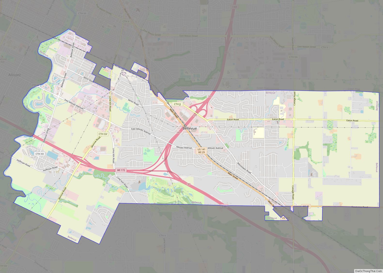
Howard is a village in Brown and Outagamie counties in the U.S. state of Wisconsin. The population was 17,399 at the 2010 census. It is part of the Green Bay Metropolitan Statistical Area.
The village is mostly within Brown County; a small portion extends west into Outagamie County. It is bordered to the east by Green Bay, a sub-basin of Lake Michigan. Prior to being incorporated as the Village of Howard, the Town of Howard was commonly referred to as “Duck Creek” because of the Duck Creek waterway winding its way through the village.
| Name: | Howard village |
|---|---|
| LSAD Code: | 47 |
| LSAD Description: | village (suffix) |
| State: | Wisconsin |
| County: | Brown County, Outagamie County |
| Elevation: | 614 ft (187 m) |
| Total Area: | 23.03 sq mi (59.65 km²) |
| Land Area: | 18.45 sq mi (47.78 km²) |
| Water Area: | 4.58 sq mi (11.87 km²) |
| Total Population: | 17,399 |
| Population Density: | 1,093.66/sq mi (422.26/km²) |
| Area code: | 920 |
| FIPS code: | 5535950 |
| GNISfeature ID: | 1566765 |
| Website: | villageofhoward.com |
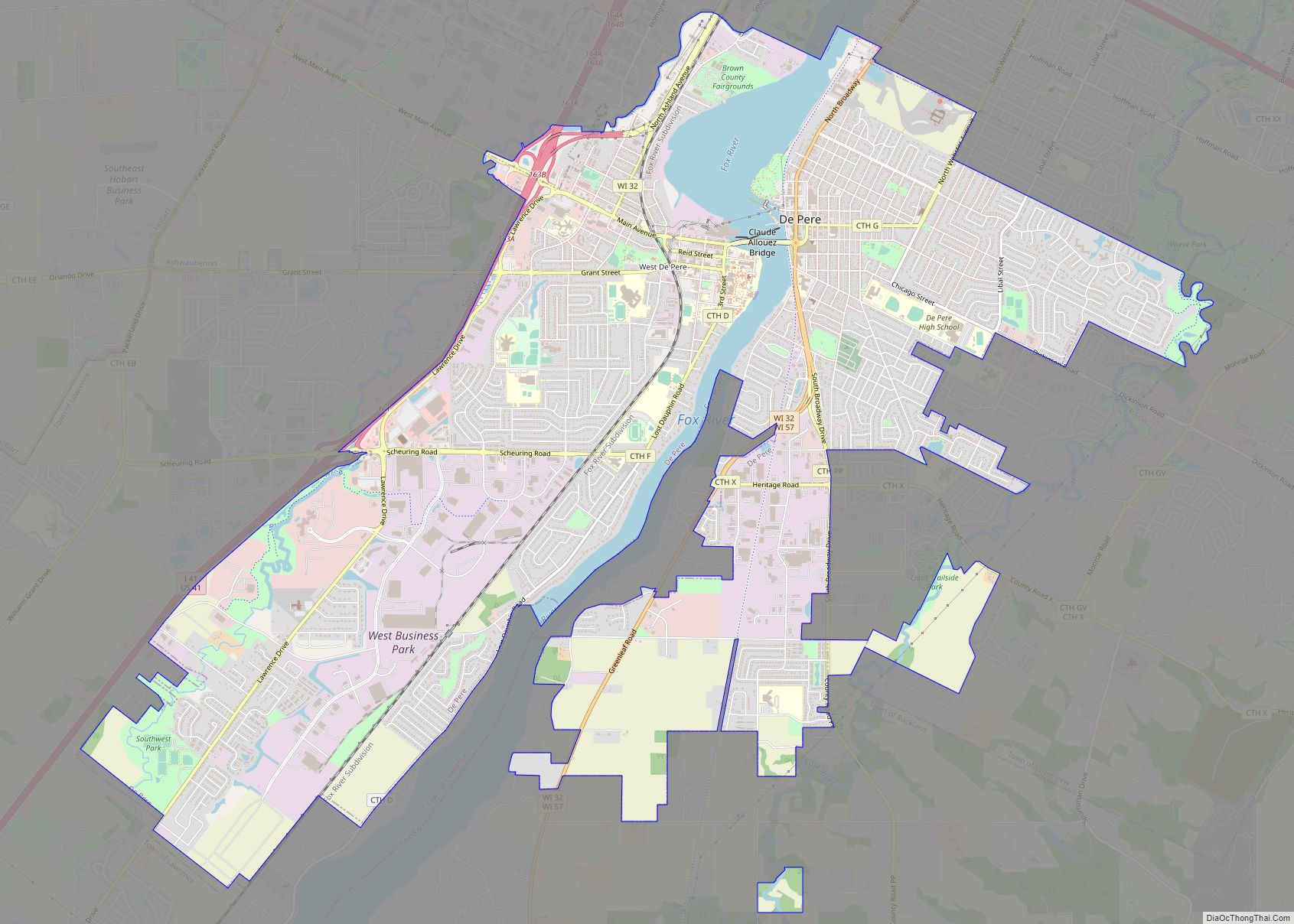
Online Interactive Map
Click on ![]() to view map in "full screen" mode.
to view map in "full screen" mode.
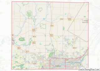
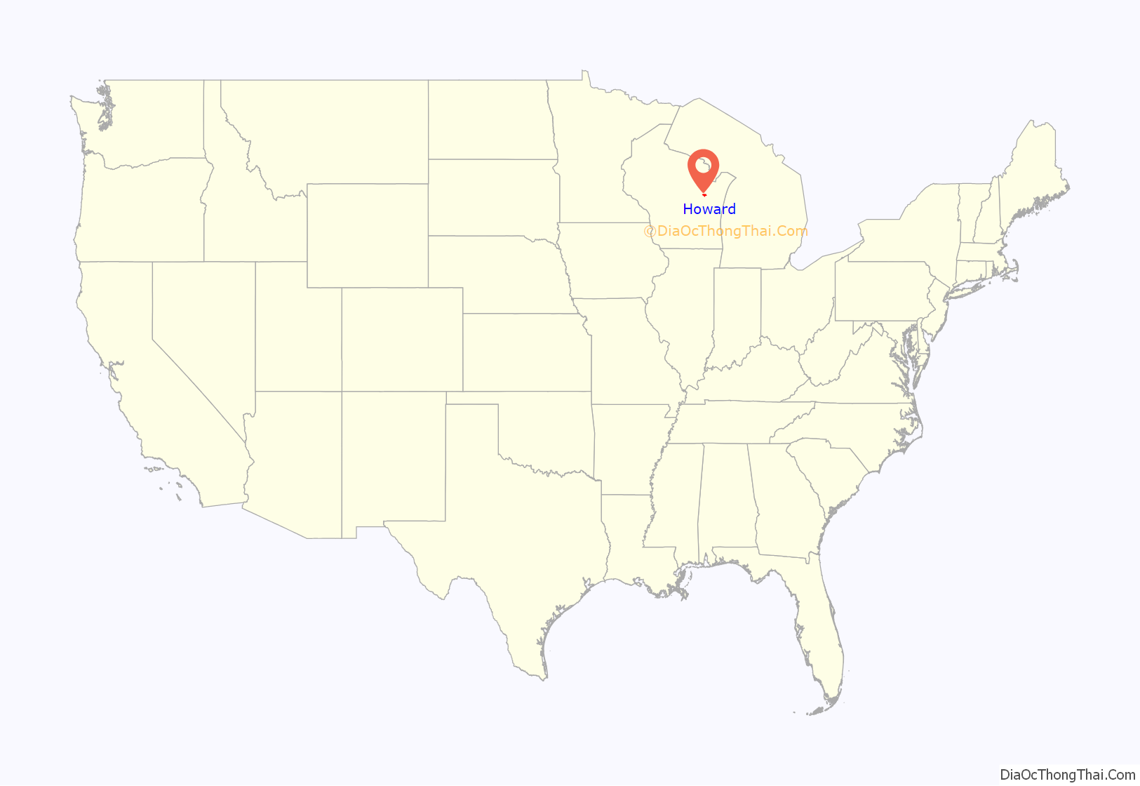
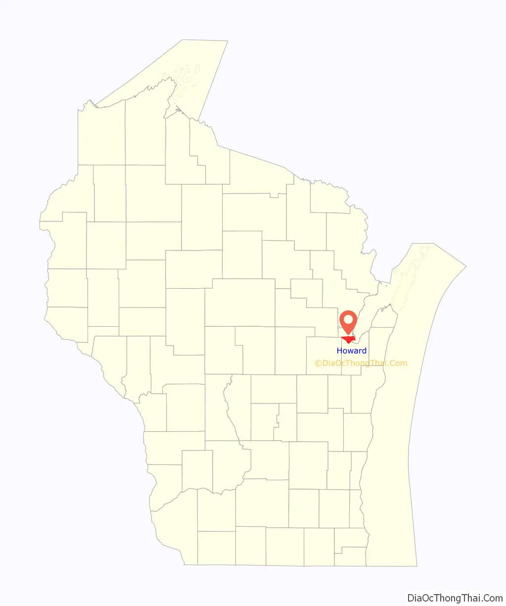
Howard location map. Where is Howard village?
History
The Green Bay area was first explored by Europeans in 1634, when Jean Nicolet, a French voyager, arrived in the area. The Town of Howard was established in 1835 and slowly developed along the Duck Creek as a center for mail delivery, farming, quarrying and lumbering. By 1848, there were three major railroads that convergen in Howard, the Chicago & North Western (C&NW), the SOO Line (SOO) And the Milwaukee Road (MILW). It was named for Brigadier General Benjamin Howard, an officer in the War of 1812.
By 1856, a school was operating and the Town of Howard became known for its Duck Creek stone quarries; of which there were four. The last of the quarries were shut down in 2002, with one being converted into a swimming hole, and a community gathering place. Another was turned into a restaurant. One of the quarries had a lumber mill nearby, and after countless decades of timber dumping into the quarry, it is unsafe for swimmers and is now colored a very light yellow.
By 1959, the population had grown and the Town of Howard became incorporated as the Village of Howard. Residential, commercial and industrial growth has continued steadily since that time, creating a suburban community on Green Bay’s northwest side. Today the only railroads that reach Green Bay are the Escanaba & Lake Superior (E&LS) and the Canadian National (CN). Two of the four original railroad yards have been removed or abandoned. The Fox River Valley (FRVR) Railroad yard, formerly the Green Bay & Western (GB&W), has been turned into a park and apartments. The Milwaukee Road (MILW) yard has had its tracks removed, but is still owned by Canadian National. It is planned to be converted to apartments. There are several different parks in Howard, that are open to the public. The Duck Creek Quarry Park is open to the public all year round. There are several nature parks open to recreation and sporting events; all but one are open year round.
Howard Road Map

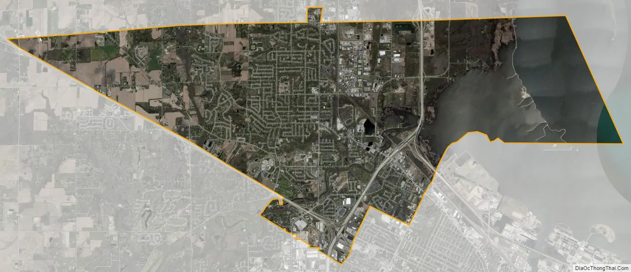
Howard city Satellite Map
Geography
Howard is located at 44°33′47″N 88°4′55″W / 44.56306°N 88.08194°W / 44.56306; -88.08194 (44.563091, −88.081856).
According to the United States Census Bureau, the village has a total area of 23.08 square miles (59.78 km), of which, 18.10 square miles (46.88 km) of it is land and 4.98 square miles (12.90 km) is water.
See also
Map of Wisconsin State and its subdivision:- Adams
- Ashland
- Barron
- Bayfield
- Brown
- Buffalo
- Burnett
- Calumet
- Chippewa
- Clark
- Columbia
- Crawford
- Dane
- Dodge
- Door
- Douglas
- Dunn
- Eau Claire
- Florence
- Fond du Lac
- Forest
- Grant
- Green
- Green Lake
- Iowa
- Iron
- Jackson
- Jefferson
- Juneau
- Kenosha
- Kewaunee
- La Crosse
- Lafayette
- Lake Michigan
- Lake Superior
- Langlade
- Lincoln
- Manitowoc
- Marathon
- Marinette
- Marquette
- Menominee
- Milwaukee
- Monroe
- Oconto
- Oneida
- Outagamie
- Ozaukee
- Pepin
- Pierce
- Polk
- Portage
- Price
- Racine
- Richland
- Rock
- Rusk
- Saint Croix
- Sauk
- Sawyer
- Shawano
- Sheboygan
- Taylor
- Trempealeau
- Vernon
- Vilas
- Walworth
- Washburn
- Washington
- Waukesha
- Waupaca
- Waushara
- Winnebago
- Wood
- Alabama
- Alaska
- Arizona
- Arkansas
- California
- Colorado
- Connecticut
- Delaware
- District of Columbia
- Florida
- Georgia
- Hawaii
- Idaho
- Illinois
- Indiana
- Iowa
- Kansas
- Kentucky
- Louisiana
- Maine
- Maryland
- Massachusetts
- Michigan
- Minnesota
- Mississippi
- Missouri
- Montana
- Nebraska
- Nevada
- New Hampshire
- New Jersey
- New Mexico
- New York
- North Carolina
- North Dakota
- Ohio
- Oklahoma
- Oregon
- Pennsylvania
- Rhode Island
- South Carolina
- South Dakota
- Tennessee
- Texas
- Utah
- Vermont
- Virginia
- Washington
- West Virginia
- Wisconsin
- Wyoming