Howards Grove is a village in Sheboygan County, Wisconsin, United States. The population was 3,237 at the 2020 census. It is part of the Sheboygan, Wisconsin Metropolitan Statistical Area.
| Name: | Howards Grove village |
|---|---|
| LSAD Code: | 47 |
| LSAD Description: | village (suffix) |
| State: | Wisconsin |
| County: | Sheboygan County |
| Elevation: | 712 ft (217 m) |
| Total Area: | 2.25 sq mi (5.83 km²) |
| Land Area: | 2.23 sq mi (5.76 km²) |
| Water Area: | 0.03 sq mi (0.07 km²) |
| Total Population: | 3,237 |
| Population Density: | 1,470.56/sq mi (567.78/km²) |
| ZIP code: | 53083 |
| Area code: | 920 |
| FIPS code: | 5536025 |
| GNISfeature ID: | 1566769 |
| Website: | www.howardsgrove.org |
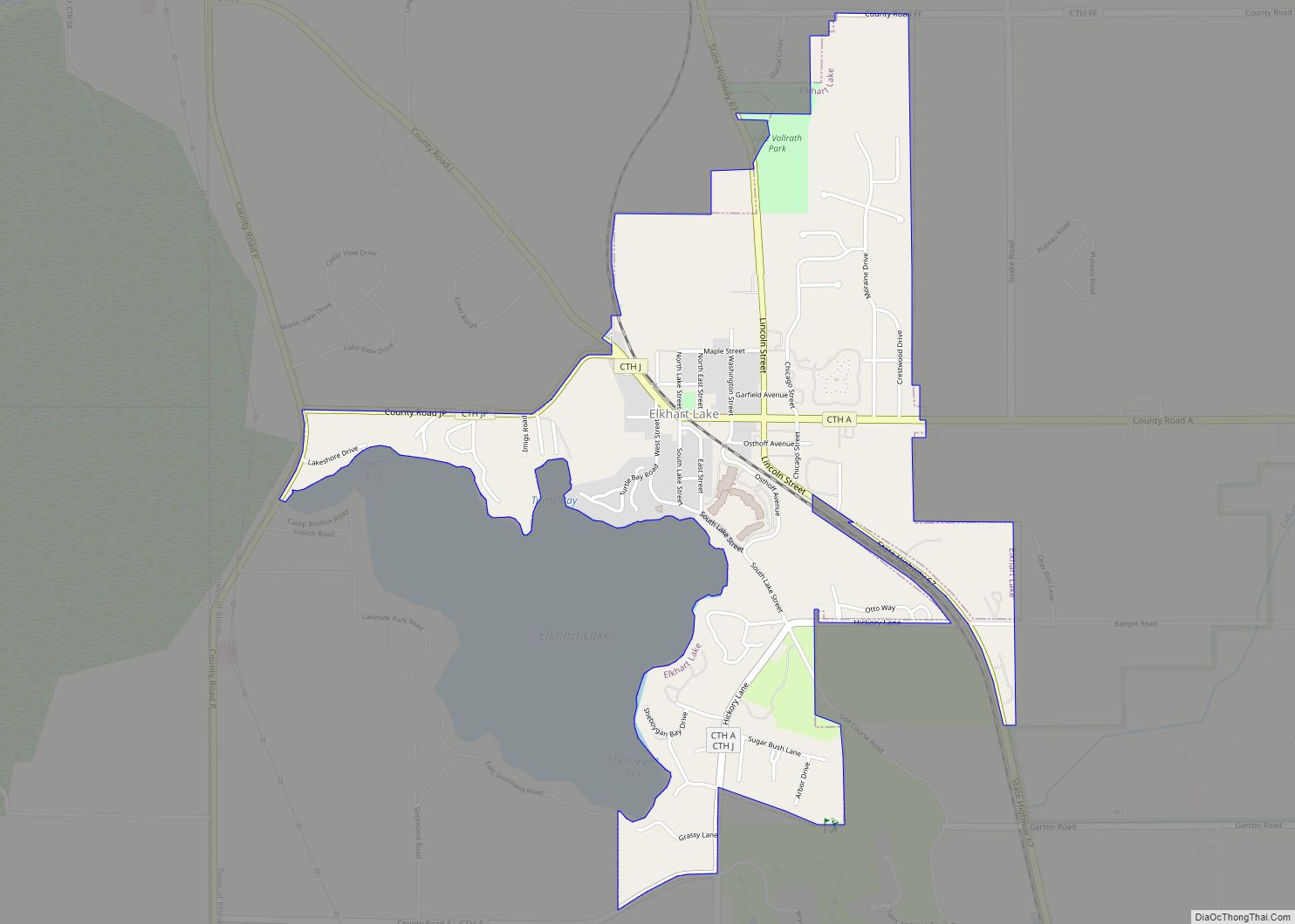
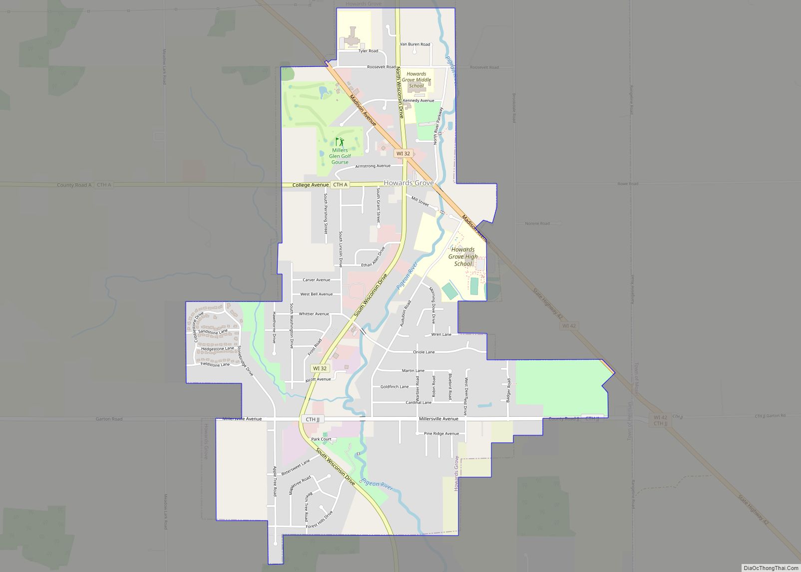
Online Interactive Map
Click on ![]() to view map in "full screen" mode.
to view map in "full screen" mode.
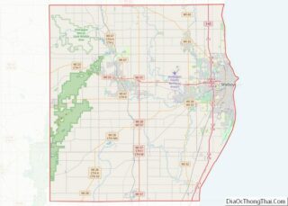
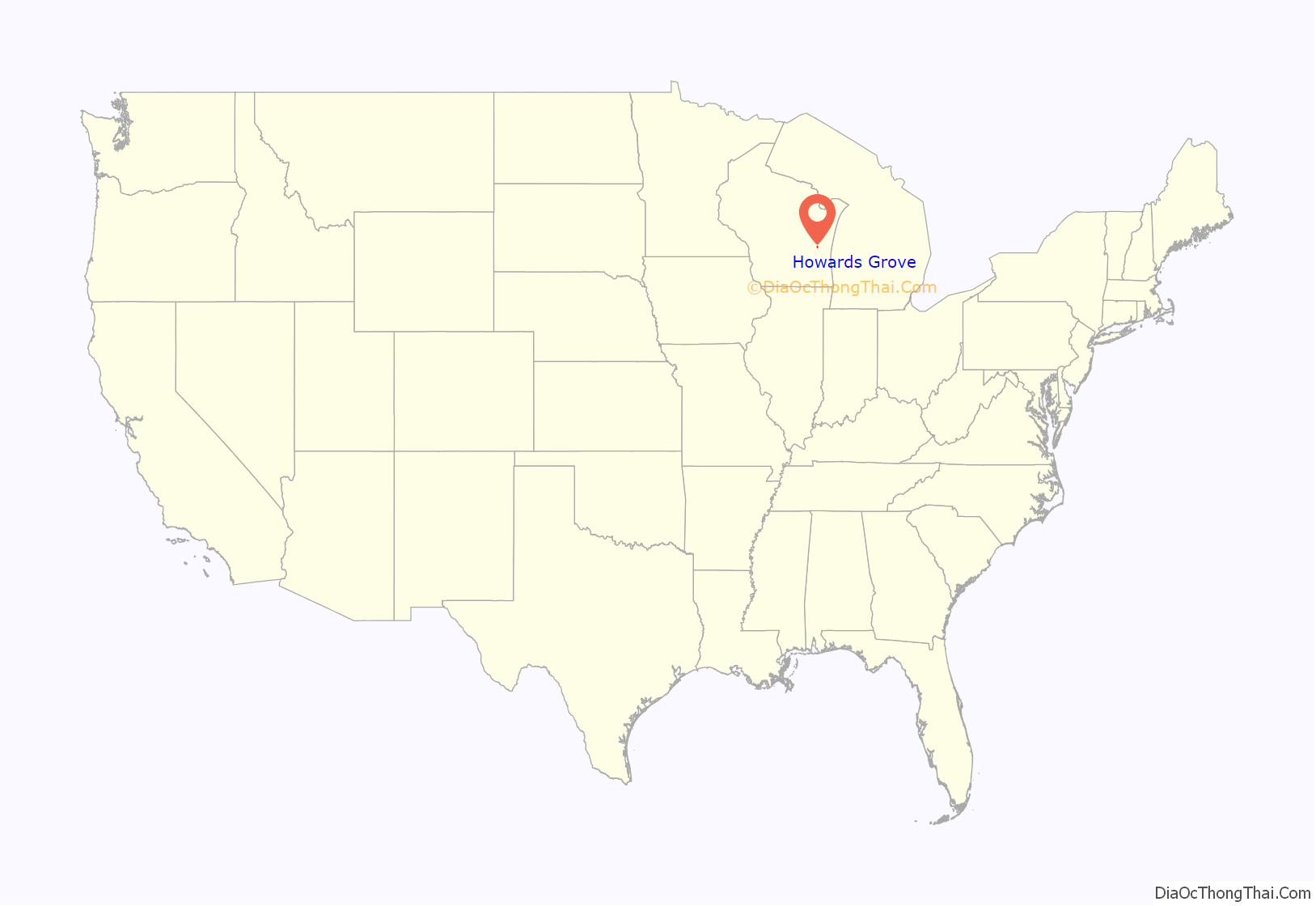
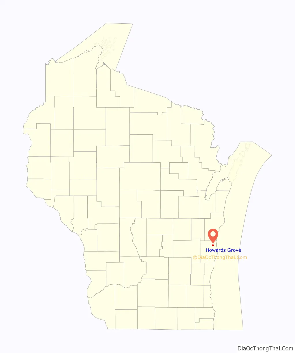
Howards Grove location map. Where is Howards Grove village?
History
The village was named after H. B. Howard, a hotelier and postmaster. Howards Grove began as two unincorporated communities: Millersville and Howards Grove. They united as one village in 1967, forming the longest municipality name in the state (Howards Grove–Millersville), before it was shortened to Howards Grove by referendum in 1972. In the year 1846, the first immigrants started to make an appearance and settled in the surrounding wilderness which was named the town of Herman. Sheboygan, which was ten miles from where they had settled, was their main source of supplies. The main occupation of this area since the 1840s has been farming. The farming community had always had a focus on growing oats and wheat but as early as November 29, 1899, the Sheboygan Telegram noted that there had been a change in operation. The focus was changed to dairy farming. Today, farming still rules the community.
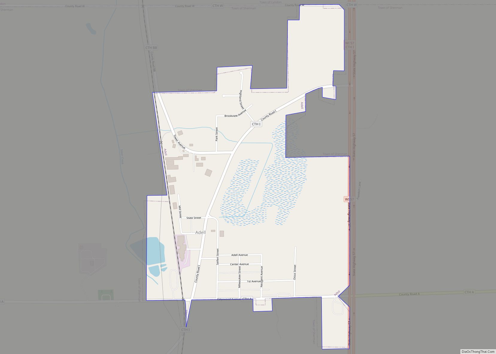
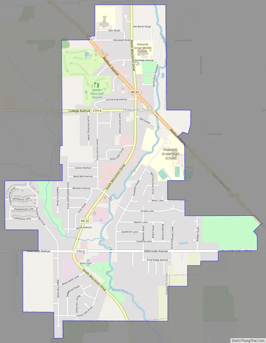
Howards Grove Road Map
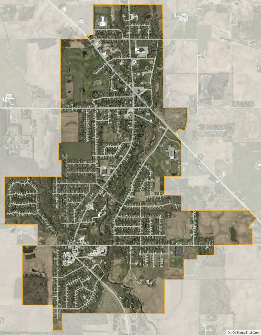
Howards Grove city Satellite Map
Geography
According to the United States Census Bureau, the village has a total area of 2.34 square miles (6.06 km), of which, 2.31 square miles (5.98 km) of it is land and 0.03 square miles (0.08 km) is water.
See also
Map of Wisconsin State and its subdivision:- Adams
- Ashland
- Barron
- Bayfield
- Brown
- Buffalo
- Burnett
- Calumet
- Chippewa
- Clark
- Columbia
- Crawford
- Dane
- Dodge
- Door
- Douglas
- Dunn
- Eau Claire
- Florence
- Fond du Lac
- Forest
- Grant
- Green
- Green Lake
- Iowa
- Iron
- Jackson
- Jefferson
- Juneau
- Kenosha
- Kewaunee
- La Crosse
- Lafayette
- Lake Michigan
- Lake Superior
- Langlade
- Lincoln
- Manitowoc
- Marathon
- Marinette
- Marquette
- Menominee
- Milwaukee
- Monroe
- Oconto
- Oneida
- Outagamie
- Ozaukee
- Pepin
- Pierce
- Polk
- Portage
- Price
- Racine
- Richland
- Rock
- Rusk
- Saint Croix
- Sauk
- Sawyer
- Shawano
- Sheboygan
- Taylor
- Trempealeau
- Vernon
- Vilas
- Walworth
- Washburn
- Washington
- Waukesha
- Waupaca
- Waushara
- Winnebago
- Wood
- Alabama
- Alaska
- Arizona
- Arkansas
- California
- Colorado
- Connecticut
- Delaware
- District of Columbia
- Florida
- Georgia
- Hawaii
- Idaho
- Illinois
- Indiana
- Iowa
- Kansas
- Kentucky
- Louisiana
- Maine
- Maryland
- Massachusetts
- Michigan
- Minnesota
- Mississippi
- Missouri
- Montana
- Nebraska
- Nevada
- New Hampshire
- New Jersey
- New Mexico
- New York
- North Carolina
- North Dakota
- Ohio
- Oklahoma
- Oregon
- Pennsylvania
- Rhode Island
- South Carolina
- South Dakota
- Tennessee
- Texas
- Utah
- Vermont
- Virginia
- Washington
- West Virginia
- Wisconsin
- Wyoming