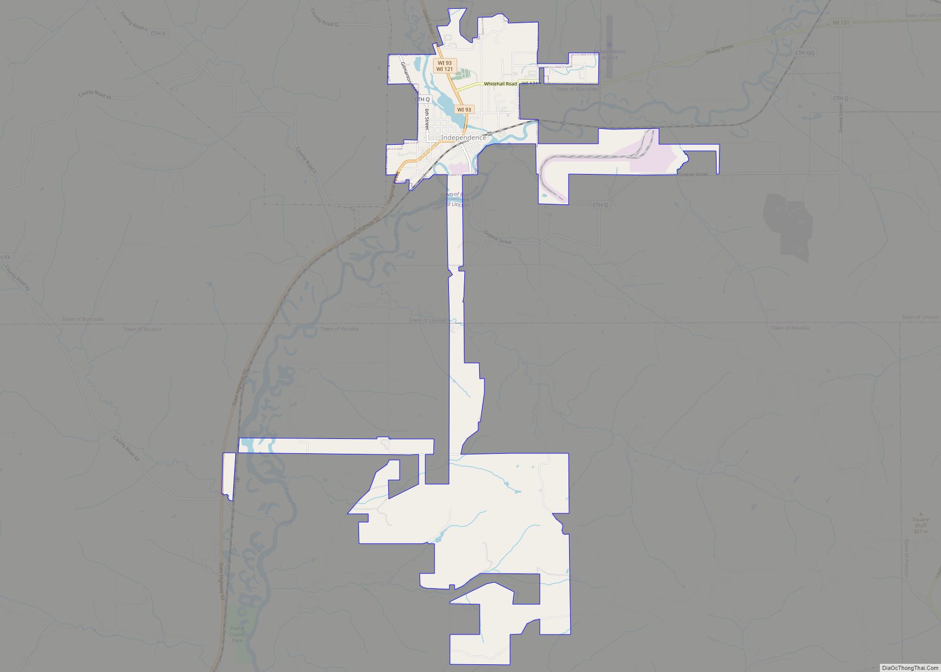
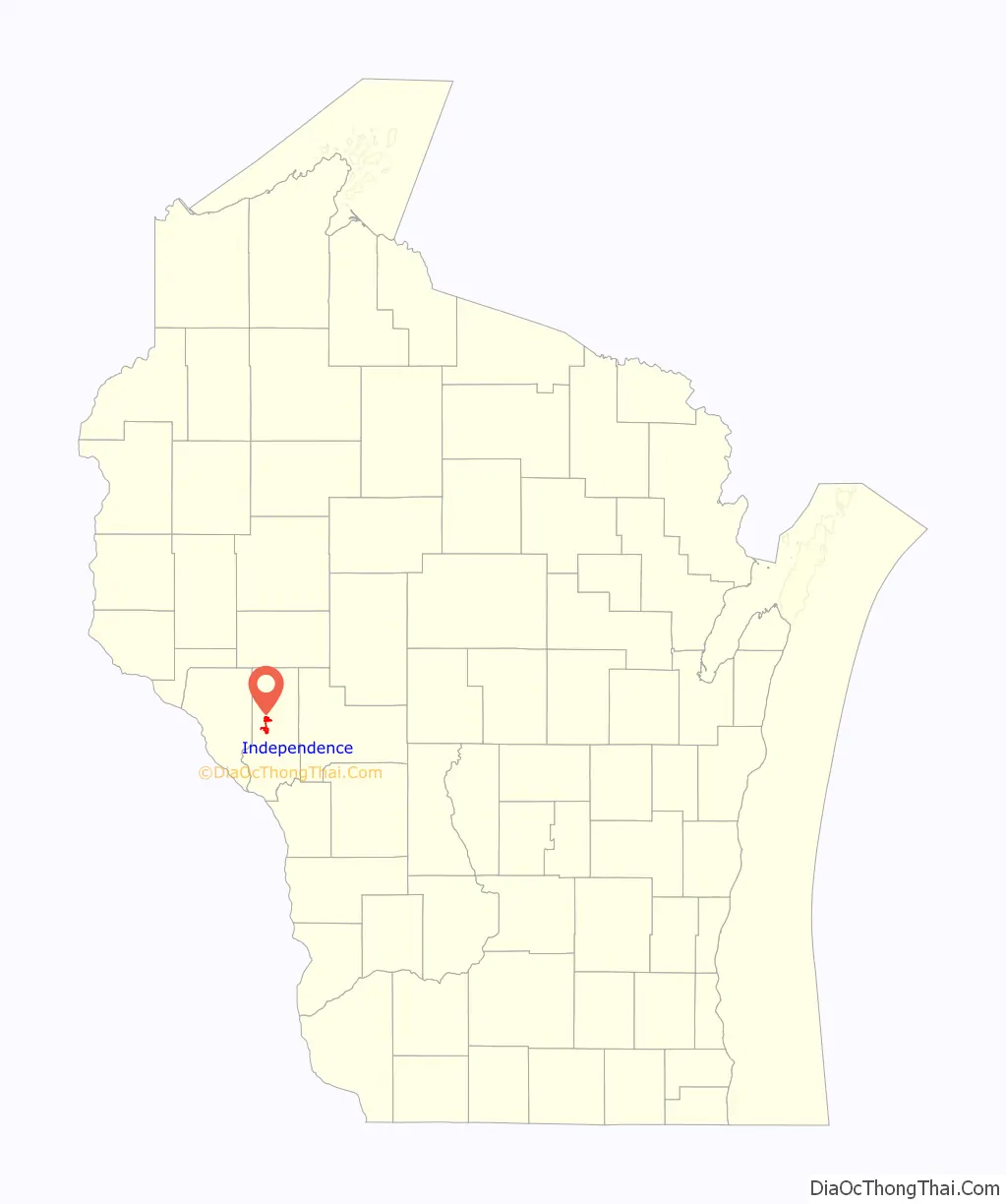
Independence is a city in Trempealeau County, Wisconsin, United States. The population was 1,498 at the 2020 census. It is located at the confluence of Elk Creek and the Trempealeau River.
| Name: | Independence city |
|---|---|
| LSAD Code: | 25 |
| LSAD Description: | city (suffix) |
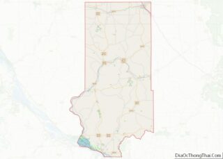
| State: | Wisconsin |
| County: | Trempealeau County |
| Elevation: | 781 ft (238 m) |
| Total Area: | 4.22 sq mi (10.93 km²) |
| Land Area: | 4.16 sq mi (10.78 km²) |
| Water Area: | 0.06 sq mi (0.14 km²) |
| Total Population: | 1,498 |
| Population Density: | 359.8/sq mi (138.9/km²) |
| Area code: | 715 & 534 |
| FIPS code: | 5536800 |
| GNISfeature ID: | 1583429 |
| Website: | www.independencewi.org |
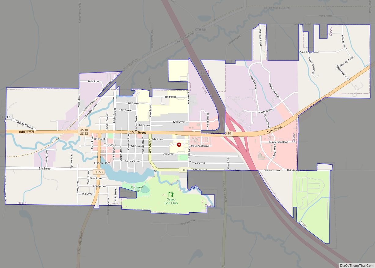
Online Interactive Map
Click on ![]() to view map in "full screen" mode.
to view map in "full screen" mode.
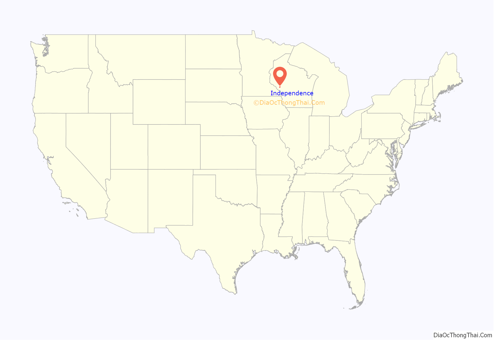
Independence location map. Where is Independence city?
History
Unless otherwise noted, the history below is taken from a local historical album published for the city’s centennial in 1976.
Independence is in the Town of Burnside, which corresponds with one of the townships created under the Land Ordinance of 1785. Shortly after the naming of Burnside in 1863, settlers from Europe and the Eastern United States began arriving in significant numbers.
The city of Independence owes its existence to a railroad and a man named David M. Kelly. Running almost parallel to the Trempealeau River is the Green Bay and Western Railroad, which is part of a line originally intended to run from Green Bay, Wisconsin to Wabasha, Minnesota. Kelly was an enthusiastic promoter of building a depot for the new line in Burnside.
After much disagreement and dispute over its location, Green Bay and Lake Pepin (as the company was then known) agreed to build a depot if $5,000 could be raised by the residents to finance construction. The money was raised, and Kelly bought the land for the depot in 1876. He founded a village on the land and named it Independence in honor of the nation’s centennial of independence. The village was incorporated in 1885 and became a city in 1942.
Independence has outlived the depot that was once at its heart. The line began at Green Bay but eventually reached Winona, Minnesota instead of Wabasha. Passenger service was never very profitable. Under the inexorable pressure of the automobile, passenger service ended in 1949, but freight trains still use the line today.
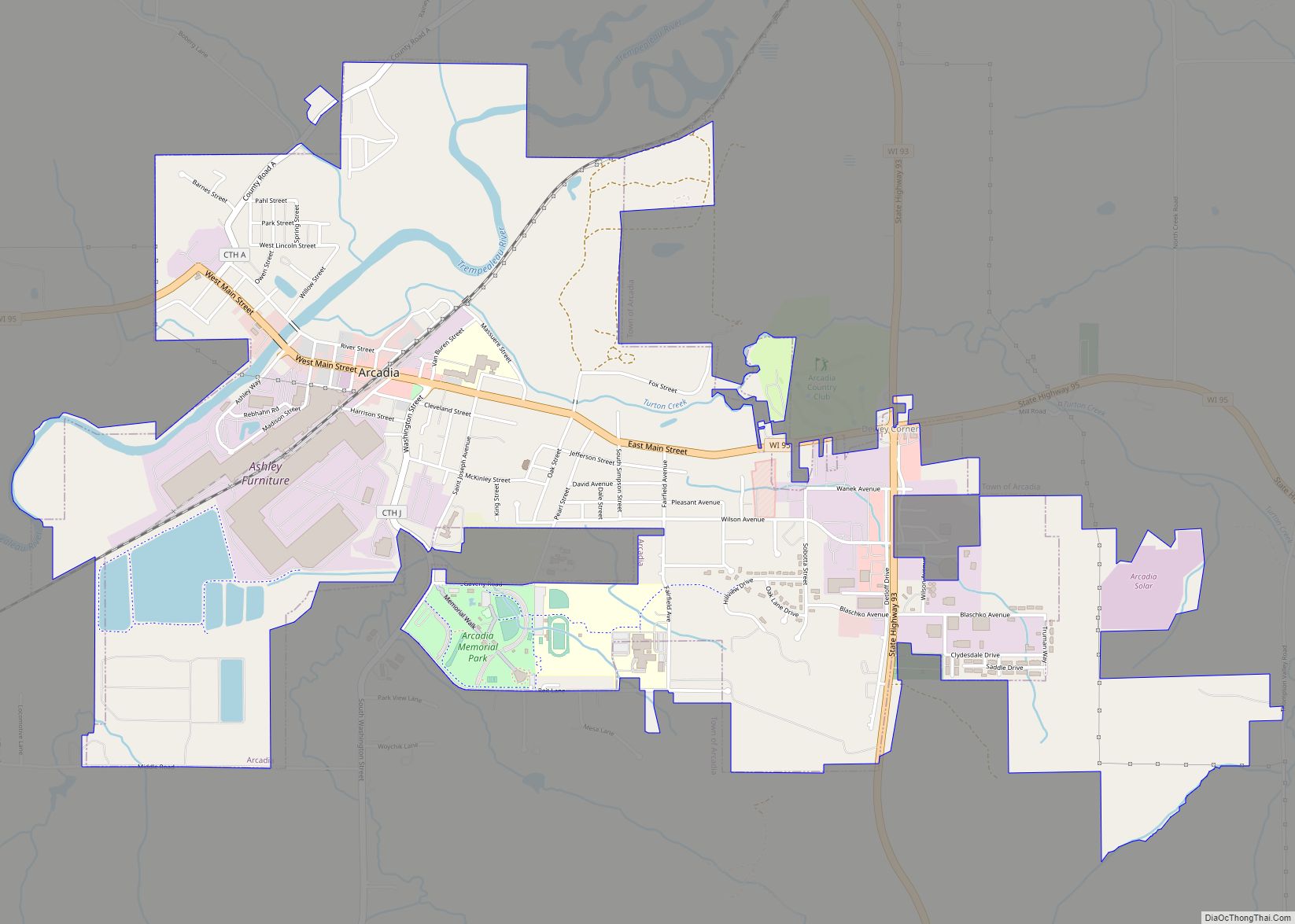
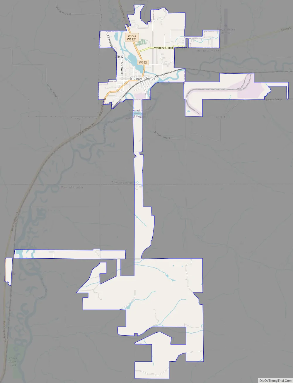
Independence Road Map
Independence city Satellite Map
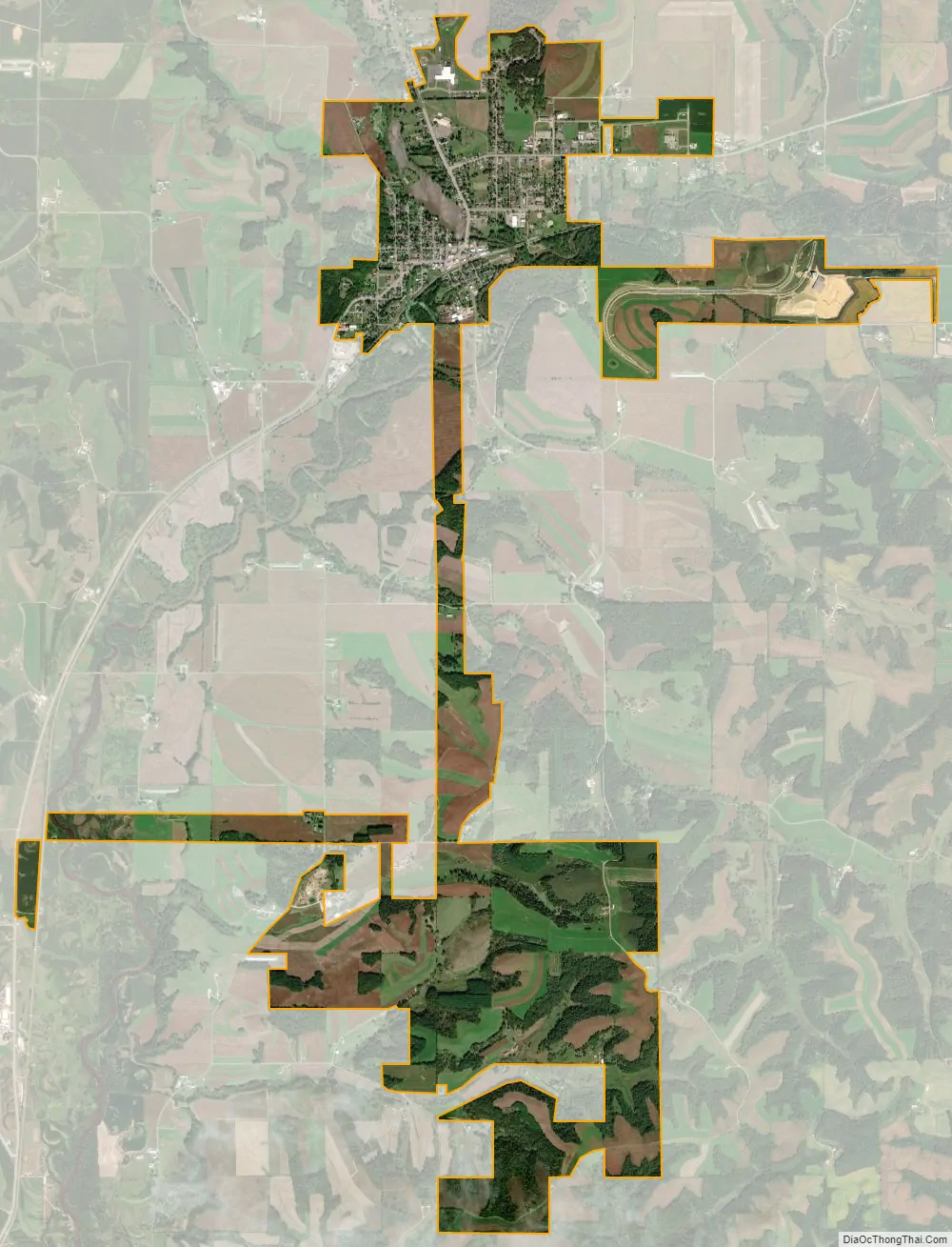
Geography
According to the United States Census Bureau, the city has a total area of 4.22 square miles (10.93 km), of which, 4.16 square miles (10.77 km) is land and 0.06 square miles (0.16 km) is water. It is within the Driftless Zone of the Midwest.
Just upstream from the intersection between Elk Creek and the Trempealeau is the dam impounding Bugle Lake. The present dam was built in 1935 as part of the Works Progress Administration. It replaced an earlier dam that had been built by a resident named W.S. Newton. It later broke and flooded all of Arcadia, Wisconsin in 2011. Bugle Lake has peaceful canoeing, and a small park covers the island in the lake.
See also
Map of Wisconsin State and its subdivision:- Adams
- Ashland
- Barron
- Bayfield
- Brown
- Buffalo
- Burnett
- Calumet
- Chippewa
- Clark
- Columbia
- Crawford
- Dane
- Dodge
- Door
- Douglas
- Dunn
- Eau Claire
- Florence
- Fond du Lac
- Forest
- Grant
- Green
- Green Lake
- Iowa
- Iron
- Jackson
- Jefferson
- Juneau
- Kenosha
- Kewaunee
- La Crosse
- Lafayette
- Lake Michigan
- Lake Superior
- Langlade
- Lincoln
- Manitowoc
- Marathon
- Marinette
- Marquette
- Menominee
- Milwaukee
- Monroe
- Oconto
- Oneida
- Outagamie
- Ozaukee
- Pepin
- Pierce
- Polk
- Portage
- Price
- Racine
- Richland
- Rock
- Rusk
- Saint Croix
- Sauk
- Sawyer
- Shawano
- Sheboygan
- Taylor
- Trempealeau
- Vernon
- Vilas
- Walworth
- Washburn
- Washington
- Waukesha
- Waupaca
- Waushara
- Winnebago
- Wood
- Alabama
- Alaska
- Arizona
- Arkansas
- California
- Colorado
- Connecticut
- Delaware
- District of Columbia
- Florida
- Georgia
- Hawaii
- Idaho
- Illinois
- Indiana
- Iowa
- Kansas
- Kentucky
- Louisiana
- Maine
- Maryland
- Massachusetts
- Michigan
- Minnesota
- Mississippi
- Missouri
- Montana
- Nebraska
- Nevada
- New Hampshire
- New Jersey
- New Mexico
- New York
- North Carolina
- North Dakota
- Ohio
- Oklahoma
- Oregon
- Pennsylvania
- Rhode Island
- South Carolina
- South Dakota
- Tennessee
- Texas
- Utah
- Vermont
- Virginia
- Washington
- West Virginia
- Wisconsin
- Wyoming