Kewaskum is a village in Washington and Fond du Lac counties in Wisconsin, United States. The population was 4,004 at the 2010 census. All of this population resided in the Washington County portion of the village. The village is mostly surrounded by the Town of Kewaskum.
| Name: | Kewaskum village |
|---|---|
| LSAD Code: | 47 |
| LSAD Description: | village (suffix) |
| State: | Wisconsin |
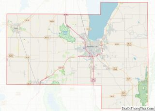
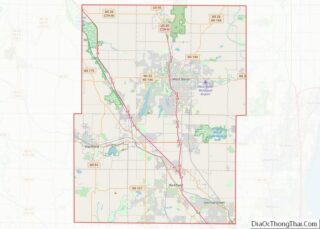
| County: | Fond du Lac County, Washington County |
| Incorporated: | 1895 |
| Elevation: | 935 ft (285 m) |
| Total Area: | 2.35 sq mi (6.10 km²) |
| Land Area: | 2.35 sq mi (6.10 km²) |
| Water Area: | 0.00 sq mi (0.00 km²) |
| Total Population: | 4,004 |
| Population Density: | 1,811.38/sq mi (699.38/km²) |
| Area code: | 262 |
| FIPS code: | 5539300 |
| GNISfeature ID: | 1583474 |
| Website: | village.kewaskum.wi.us |
Online Interactive Map
Click on ![]() to view map in "full screen" mode.
to view map in "full screen" mode.
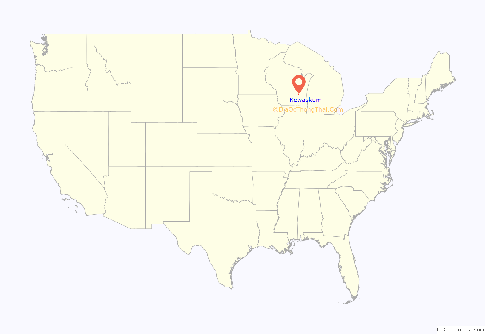
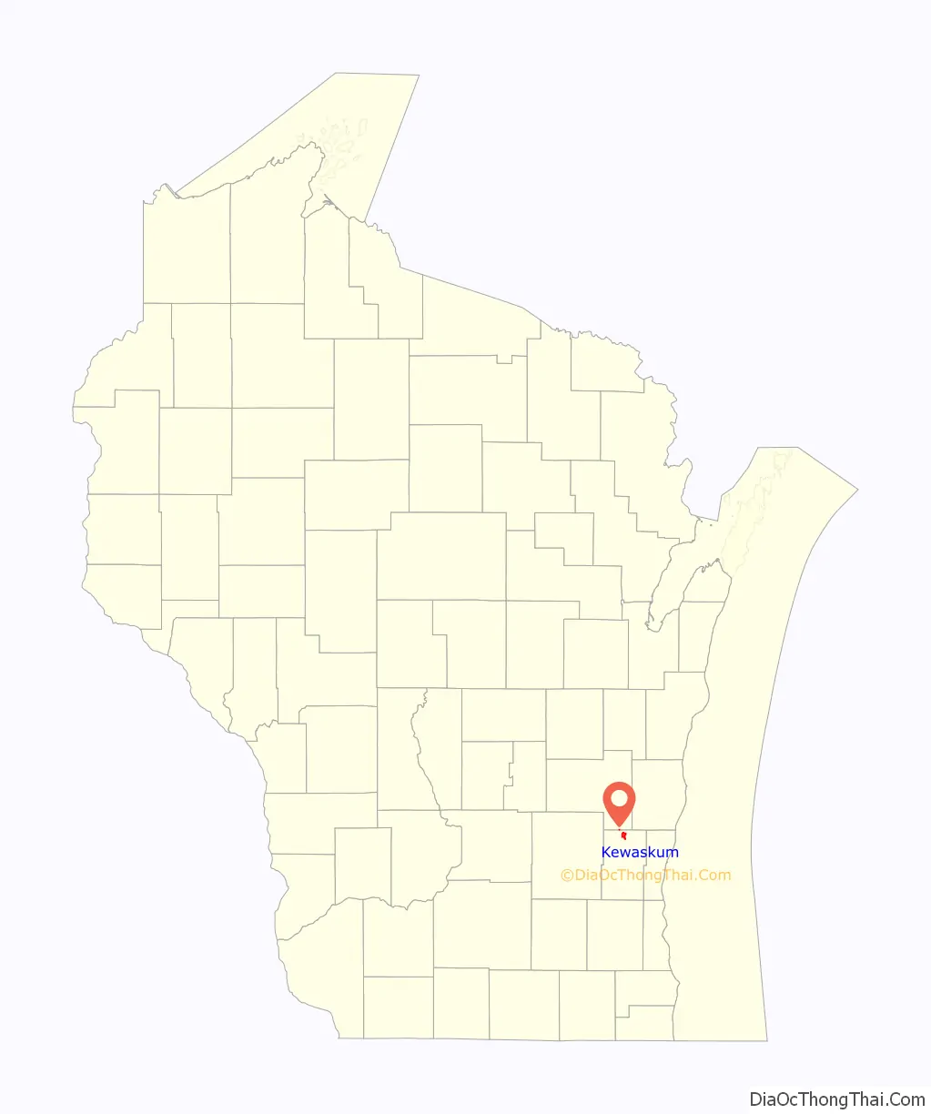
Kewaskum location map. Where is Kewaskum village?
History
In the early 19th century, the Kewaskum area was home to Potawatomi Native Americans, who surrendered the land the United States Federal Government in the 1833 Treaty of Chicago, which required them to leave Wisconsin by 1838. While many Potawatomis moved west of the Mississippi River to Kansas, some chose to remain, and were referred to as “strolling Potawatomi” in contemporary documents because many of them were migrants who subsisted by squatting on their ancestral lands, which were now owned by white settlers. One band of strolling Potawatomi travelled through Dodge, Jefferson, and Washington counties, and was led by Chief Kewaskum, who had a camp on Pike Lake. The chief was friendly with the white settlers who began arriving in the 1840s. He died sometime between 1847 and 1850, but itinerant Potawatomis lived in Washington County into the late 19th century, when many of them gathered in northern Wisconsin to form the Forest County Potawatomi Community.
The first settlers in the area were the Barnes family, who arrived in 1844 and began farming near the future village. In 1847, the Wisconsin Territorial Legislature created the Town of North Bend from land that had previously been part of the Town of West Bend, and the community’s first post office was established. In 1849, the residents changed their community’s name to the “Town of Kewaskum” to distinguish it from neighboring West Bend.
While the first settlers were primarily farmers, the village of Kewaskum traces its origins to J. H. Myer, who settled on a horseshoe bend in the Milwaukee River in 1852 and later built a sawmill and a gristmill. The settlement, which was originally known as “Myer’s Mill” and later as “Kewaskum Center,” soon became a market town with a general store and a blacksmith shop serving the local farmers. The first religious services were held in private homes, and in 1862 the Catholic villagers constructed a church. A German Methodist church was built in 1866 and a Lutheran church was built in 1868. In 1873, the Chicago and North Western Railway completed a line from Milwaukee to Fond du Lac with a station in Kewaskum. The community’s rail connections caused the local economy to grow and prosper as new businesses, including hotels, stores, and grain elevators opened around the station. The Village of Kewaskum incorporated in 1895.
While the village economy was primarily agricultural in the 19th and early 20th centuries, Kewaskum became increasingly industrialized throughout the 1900s. In 1919, Adolph J. Rosenheimer founded the Kewaskum Aluminum Company in the village to manufacture aluminum cookware. During World War II, the company made aluminum products for military use, before being acquired by Enterprise Aluminum Company of Ohio in 1945. The company was renamed Regal Ware in 1951, and through acquisitions of aluminum companies in Wisconsin, Illinois, Ohio, and Mississippi, moved into the international high-end consumer cookware market. The community’s population grew during the post–World War II economic expansion, leading the village to annex land from the Town of Kewaskum for new commercial and residential developments. The village first annexed land in 1959 and again in twenty of the next forty-six years. Additionally, Kewaskum annexed a noncontiguous parcel of land in the Town of Auburn in Fond du Lac County in 1963.
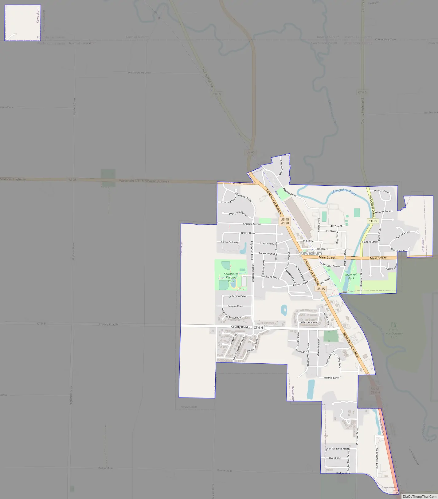
Kewaskum Road Map
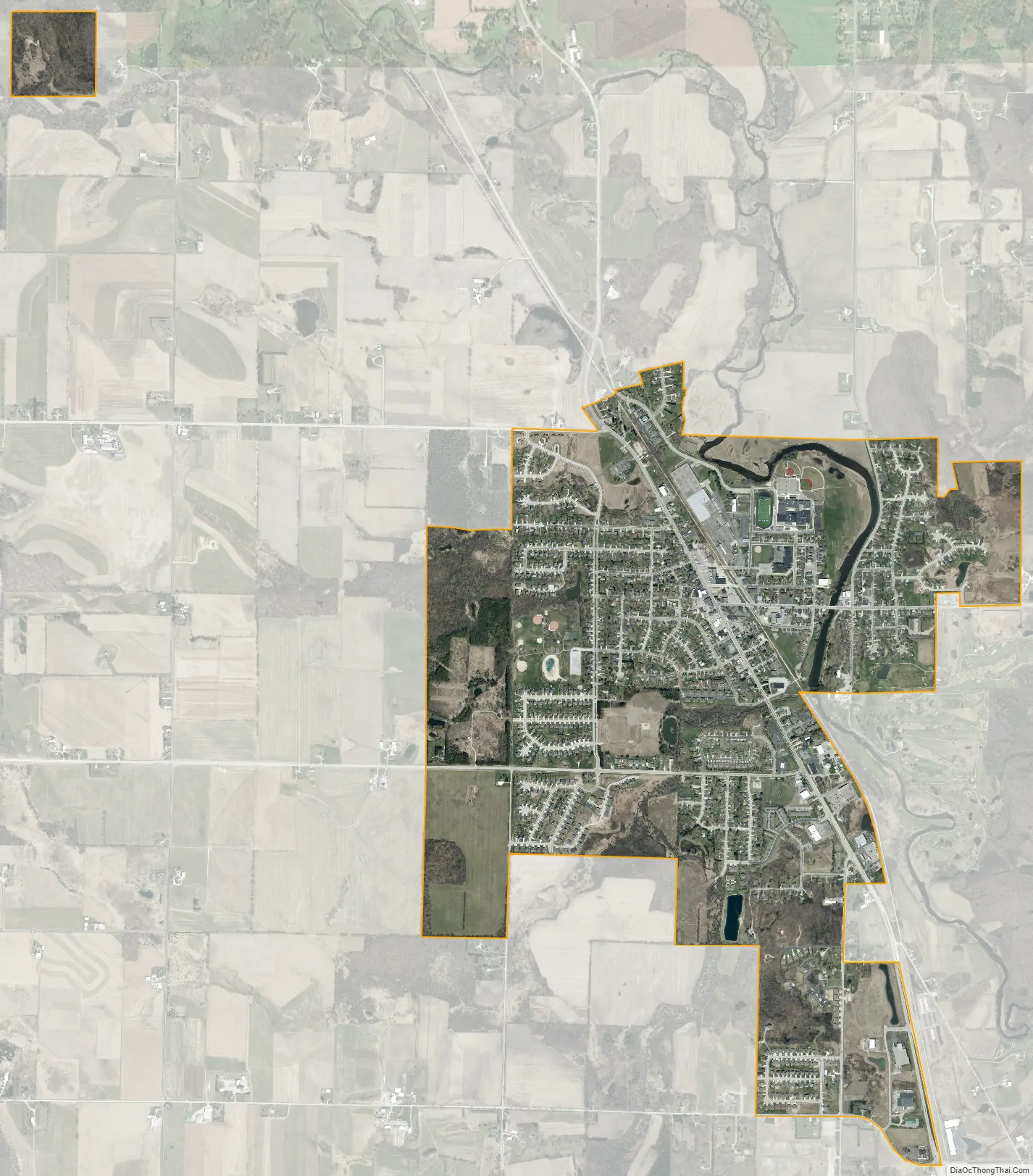
Kewaskum city Satellite Map
Geography
The primary north–south highway serving Kewaskum is U.S. Route 45, and the primary east–west highway is Wisconsin Highway 28. Kewaskum is located in the 262 Area Code of south-eastern Wisconsin, with Prefix 626.
According to the United States Census Bureau, the village has a total area of 2.45 square miles (6.35 km), all of it land.
See also
Map of Wisconsin State and its subdivision:- Adams
- Ashland
- Barron
- Bayfield
- Brown
- Buffalo
- Burnett
- Calumet
- Chippewa
- Clark
- Columbia
- Crawford
- Dane
- Dodge
- Door
- Douglas
- Dunn
- Eau Claire
- Florence
- Fond du Lac
- Forest
- Grant
- Green
- Green Lake
- Iowa
- Iron
- Jackson
- Jefferson
- Juneau
- Kenosha
- Kewaunee
- La Crosse
- Lafayette
- Lake Michigan
- Lake Superior
- Langlade
- Lincoln
- Manitowoc
- Marathon
- Marinette
- Marquette
- Menominee
- Milwaukee
- Monroe
- Oconto
- Oneida
- Outagamie
- Ozaukee
- Pepin
- Pierce
- Polk
- Portage
- Price
- Racine
- Richland
- Rock
- Rusk
- Saint Croix
- Sauk
- Sawyer
- Shawano
- Sheboygan
- Taylor
- Trempealeau
- Vernon
- Vilas
- Walworth
- Washburn
- Washington
- Waukesha
- Waupaca
- Waushara
- Winnebago
- Wood
- Alabama
- Alaska
- Arizona
- Arkansas
- California
- Colorado
- Connecticut
- Delaware
- District of Columbia
- Florida
- Georgia
- Hawaii
- Idaho
- Illinois
- Indiana
- Iowa
- Kansas
- Kentucky
- Louisiana
- Maine
- Maryland
- Massachusetts
- Michigan
- Minnesota
- Mississippi
- Missouri
- Montana
- Nebraska
- Nevada
- New Hampshire
- New Jersey
- New Mexico
- New York
- North Carolina
- North Dakota
- Ohio
- Oklahoma
- Oregon
- Pennsylvania
- Rhode Island
- South Carolina
- South Dakota
- Tennessee
- Texas
- Utah
- Vermont
- Virginia
- Washington
- West Virginia
- Wisconsin
- Wyoming