Kiel is a city in Calumet and Manitowoc counties in the U.S. state of Wisconsin. The population was 3,738 at the 2010 census. Of this, 3,429 residents lived in Manitowoc County, and 309 residents lived in Calumet County. The city is located primarily within Manitowoc County, though a portion extends west into adjacent Calumet County and is known as “Hinzeville”.
Kiel was once known as the “Wooden Shoes Capital of Wisconsin,” as it held the only wooden shoes factory in Wisconsin.
| Name: | Kiel city |
|---|---|
| LSAD Code: | 25 |
| LSAD Description: | city (suffix) |
| State: | Wisconsin |
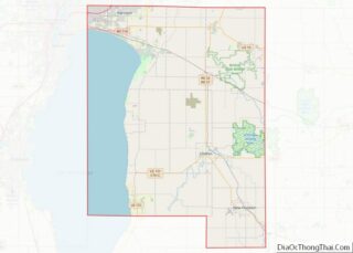
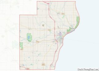
| County: | Calumet County, Manitowoc County |
| Elevation: | 919 ft (280 m) |
| Total Area: | 2.65 sq mi (6.86 km²) |
| Land Area: | 2.52 sq mi (6.53 km²) |
| Water Area: | 0.13 sq mi (0.33 km²) |
| Total Population: | 3,738 |
| Population Density: | 1,506.35/sq mi (581.55/km²) |
| Area code: | 920 |
| FIPS code: | 5539525 |
| GNISfeature ID: | 1567461 |
| Website: | kielwi.gov |
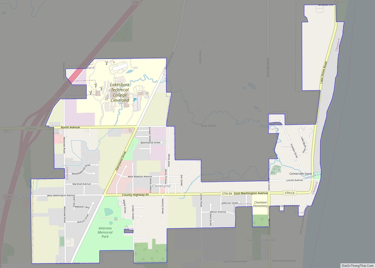
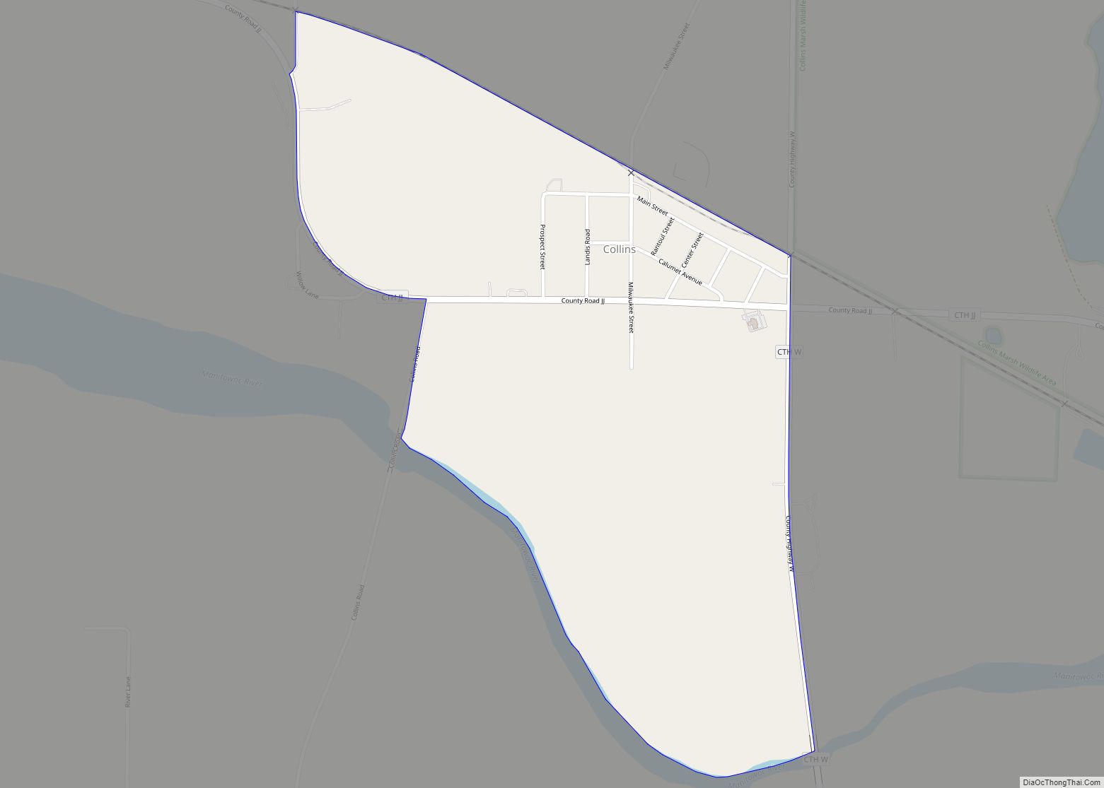
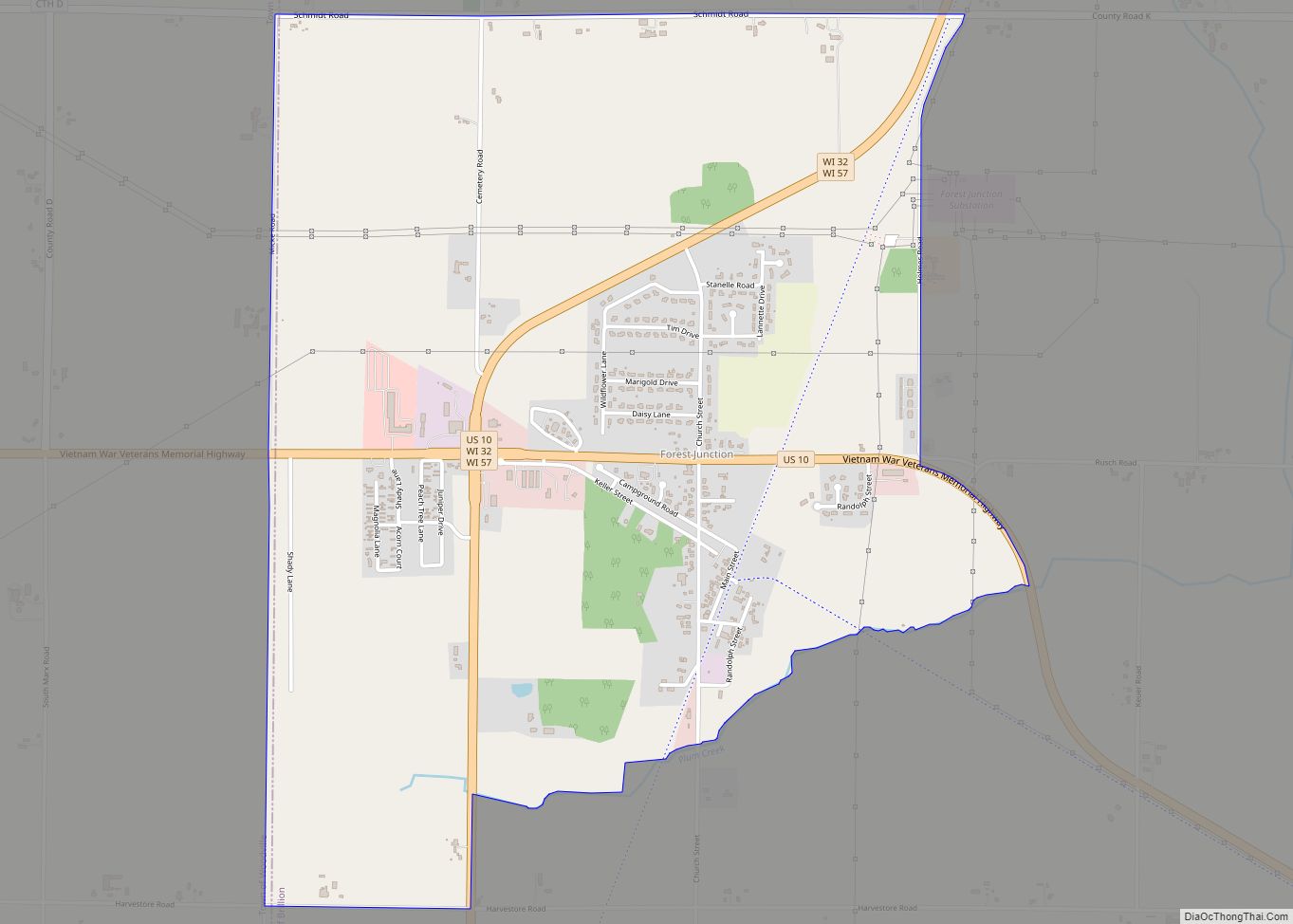
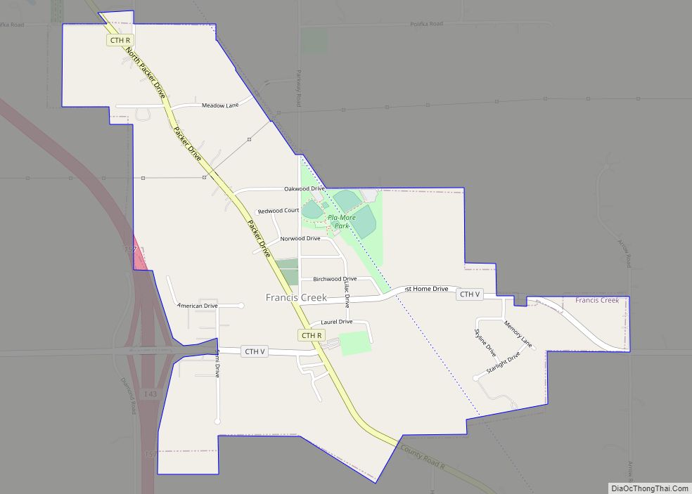
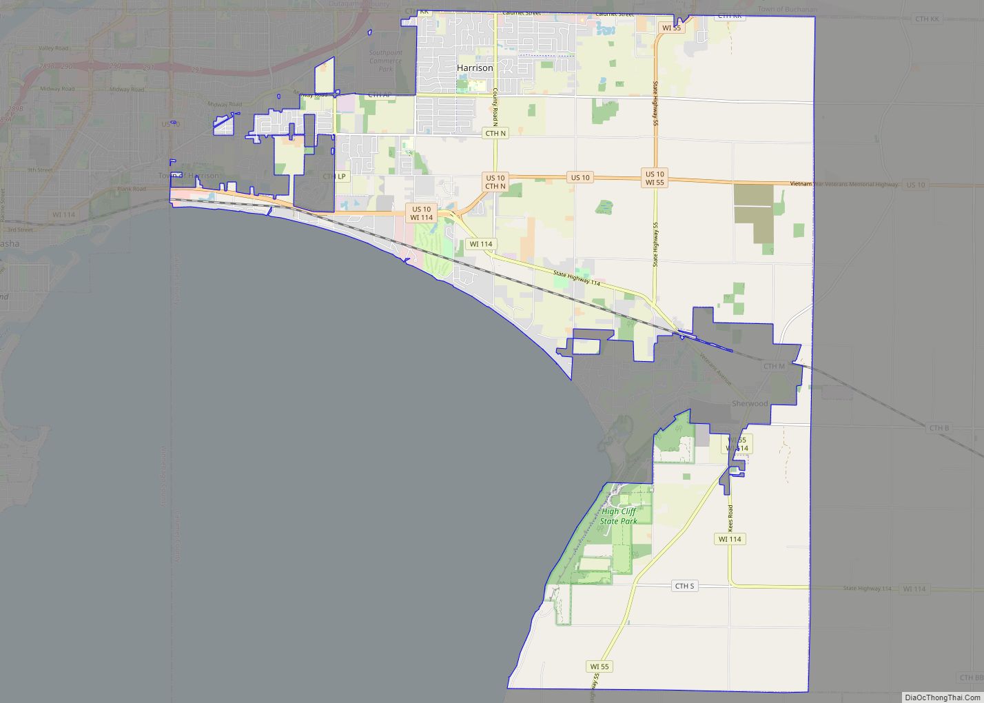
Online Interactive Map
Click on ![]() to view map in "full screen" mode.
to view map in "full screen" mode.
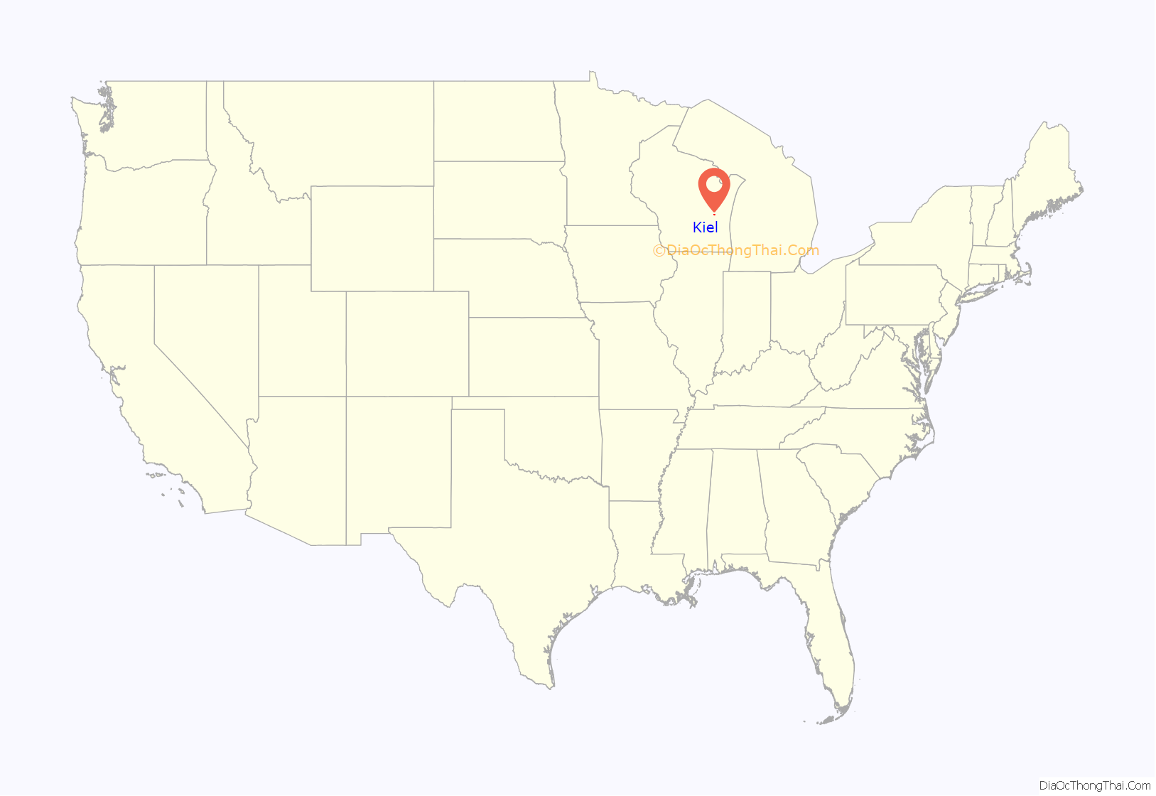
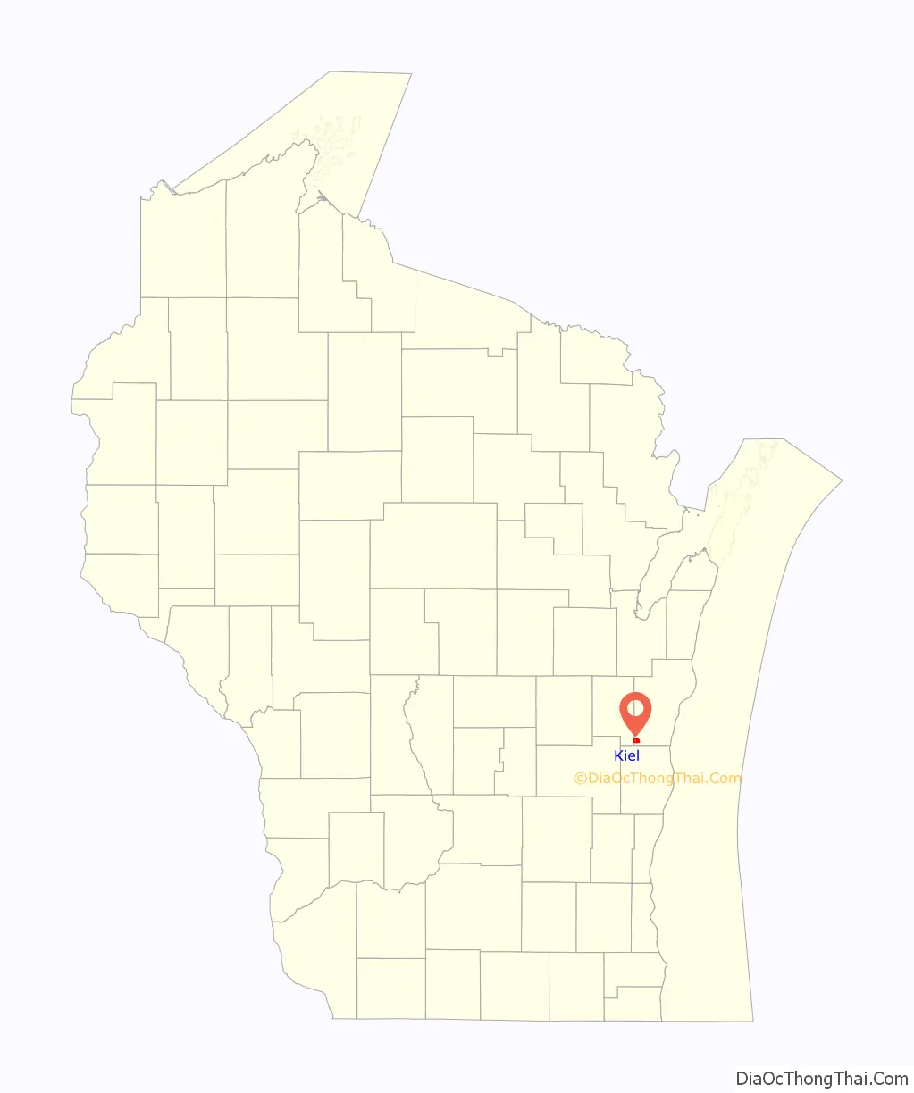
Kiel location map. Where is Kiel city?
History
In 1852 Charley Lindemann immigrated to the area and began a settlement among the Native American Menominee and Potawatomi tribes. His wife named the community after her home town of Kiel, Germany. Two years later, Col. Henry F. Belitz, later nicknamed the “Father of Kiel”, built a hotel and mill along the north side of the Sheboygan River. A road was built across Wisconsin to connect Green Bay with Milwaukee area communities. The bridge was built across the Sheboygan River in 1858 connecting Kiel with Sheboygan. In the late nineteenth century to the early twentieth century, Kiel became a manufacturing area with businesses specializing in brick, wood shoes, machine, and furniture manufacturing.
A book called Yellowbird written by Kielite Henry Goeres in the late 1800s recounts – in a blend of fact and fiction – the early history of the settlement in the 1850s when European settlers interacted with Native Americans in the area.
Kiel was incorporated as a village in 1892 and later incorporated as a city. The city continues to retain a diverse manufacturing and commercial base.
In 2022, a Title IX investigation was opened into three students at Kiel Middle School for sexual harassment. The students allegedly refused to use a fellow student’s preferred gender pronouns. A series of bomb threats against the school district were made in the days following the investigation, forcing the district to evacuate the schools on May 23 and to cancel classes on May 24. On May 26 the school district announced that the remainder of the school year would be conducted virtually. The city government cancelled the city’s Memorial Day parade on the same day. As of June 3, the investigations had been closed by the district, and attorneys were looking to clear the students’ records.
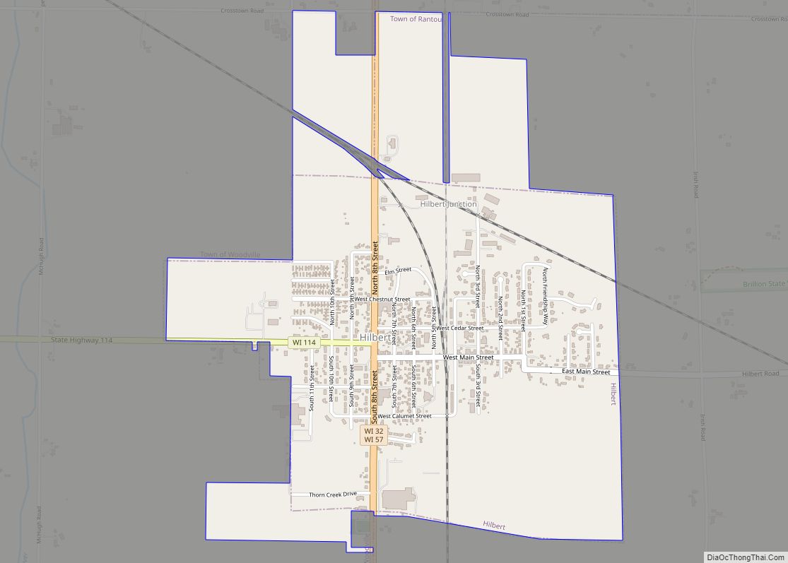
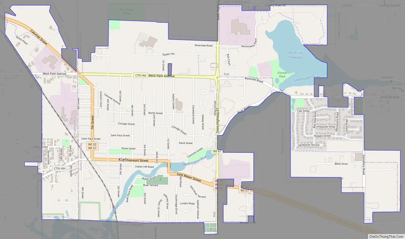
Kiel Road Map
Kiel city Satellite Map
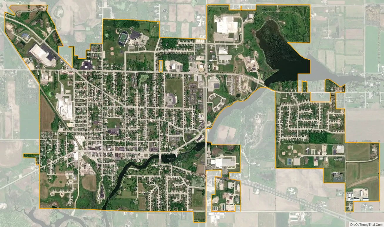
Geography
Kiel is located at 43°54′53″N 88°1′55″W / 43.91472°N 88.03194°W / 43.91472; -88.03194 (43.914718, -88.031812), along the Sheboygan River.
According to the United States Census Bureau, the city has a total area of 2.67 square miles (6.92 km), of which, 2.53 square miles (6.55 km) is land and 0.14 square miles (0.36 km) is water.
See also
Map of Wisconsin State and its subdivision:- Adams
- Ashland
- Barron
- Bayfield
- Brown
- Buffalo
- Burnett
- Calumet
- Chippewa
- Clark
- Columbia
- Crawford
- Dane
- Dodge
- Door
- Douglas
- Dunn
- Eau Claire
- Florence
- Fond du Lac
- Forest
- Grant
- Green
- Green Lake
- Iowa
- Iron
- Jackson
- Jefferson
- Juneau
- Kenosha
- Kewaunee
- La Crosse
- Lafayette
- Lake Michigan
- Lake Superior
- Langlade
- Lincoln
- Manitowoc
- Marathon
- Marinette
- Marquette
- Menominee
- Milwaukee
- Monroe
- Oconto
- Oneida
- Outagamie
- Ozaukee
- Pepin
- Pierce
- Polk
- Portage
- Price
- Racine
- Richland
- Rock
- Rusk
- Saint Croix
- Sauk
- Sawyer
- Shawano
- Sheboygan
- Taylor
- Trempealeau
- Vernon
- Vilas
- Walworth
- Washburn
- Washington
- Waukesha
- Waupaca
- Waushara
- Winnebago
- Wood
- Alabama
- Alaska
- Arizona
- Arkansas
- California
- Colorado
- Connecticut
- Delaware
- District of Columbia
- Florida
- Georgia
- Hawaii
- Idaho
- Illinois
- Indiana
- Iowa
- Kansas
- Kentucky
- Louisiana
- Maine
- Maryland
- Massachusetts
- Michigan
- Minnesota
- Mississippi
- Missouri
- Montana
- Nebraska
- Nevada
- New Hampshire
- New Jersey
- New Mexico
- New York
- North Carolina
- North Dakota
- Ohio
- Oklahoma
- Oregon
- Pennsylvania
- Rhode Island
- South Carolina
- South Dakota
- Tennessee
- Texas
- Utah
- Vermont
- Virginia
- Washington
- West Virginia
- Wisconsin
- Wyoming