Kohler is a village in Sheboygan County, Wisconsin, United States, along the Sheboygan River. The population was 2,120 at the 2010 census. It is included in the Sheboygan, Wisconsin Metropolitan Statistical Area.
| Name: | Kohler village |
|---|---|
| LSAD Code: | 47 |
| LSAD Description: | village (suffix) |
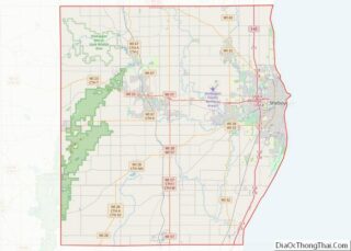
| State: | Wisconsin |
| County: | Sheboygan County |
| Elevation: | 686 ft (209 m) |
| Total Area: | 5.53 sq mi (14.33 km²) |
| Land Area: | 5.32 sq mi (13.77 km²) |
| Water Area: | 0.22 sq mi (0.56 km²) |
| Total Population: | 2,120 |
| Population Density: | 387.18/sq mi (149.48/km²) |
| Area code: | 920 |
| FIPS code: | 5540275 |
| GNISfeature ID: | 1567601 |
| Website: | www.kohlervillage.org |
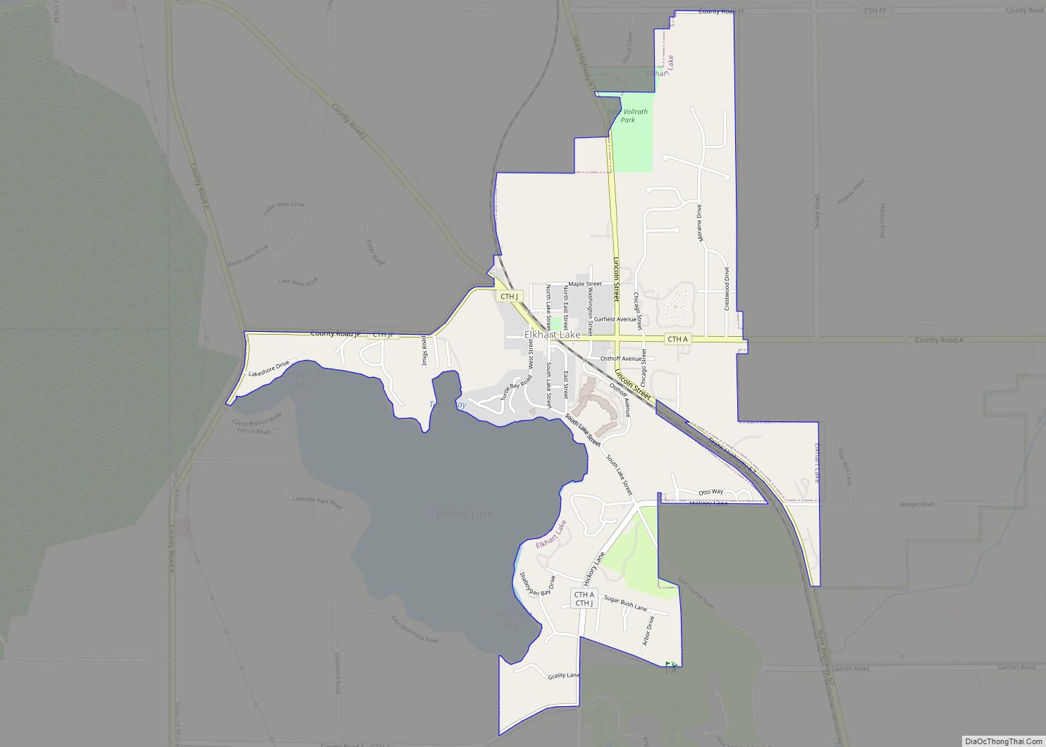
Online Interactive Map
Click on ![]() to view map in "full screen" mode.
to view map in "full screen" mode.
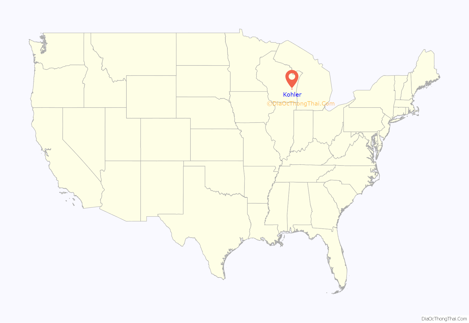
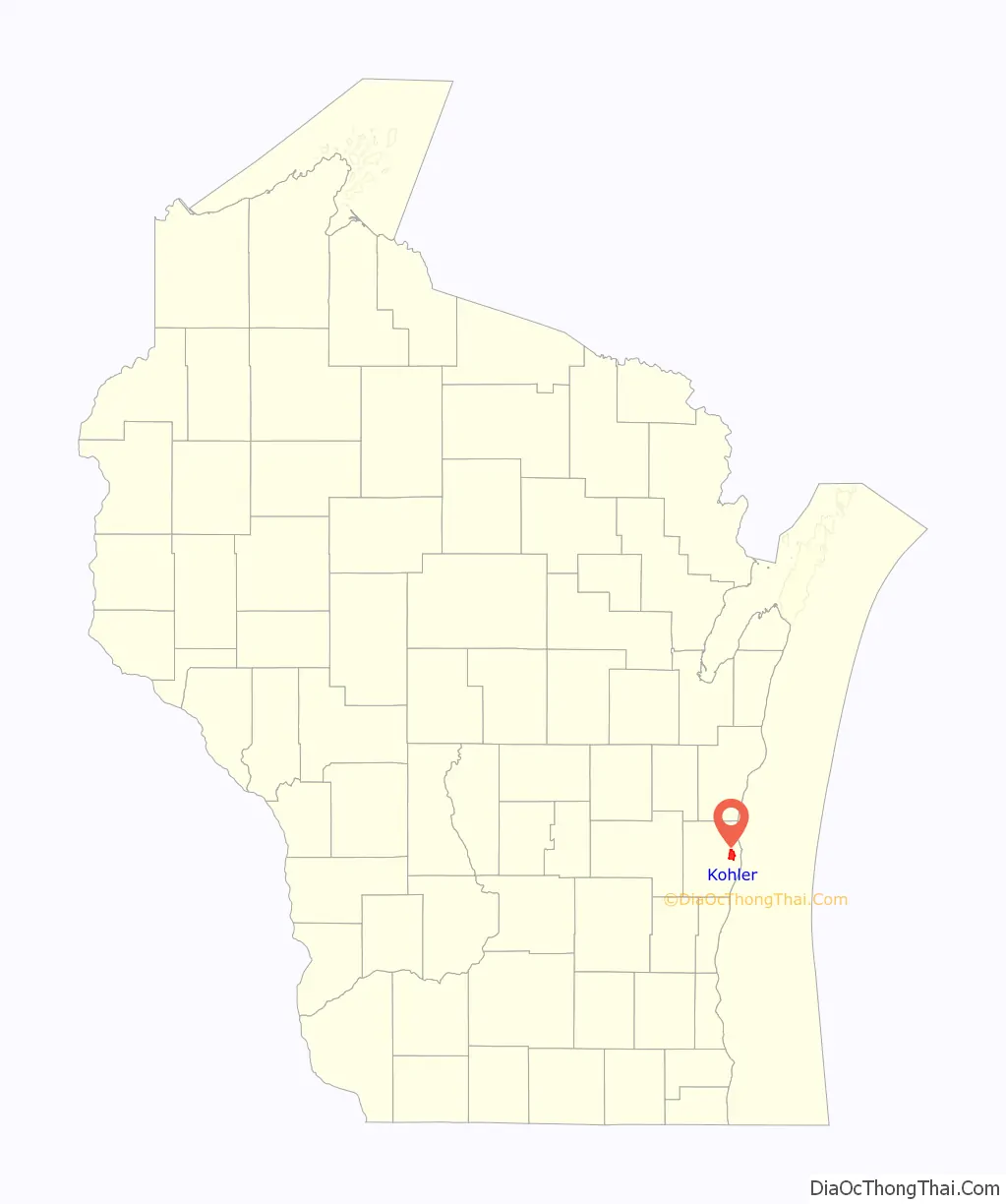
Kohler location map. Where is Kohler village?
History
Originally called Riverside within the rural Town of Sheboygan, the village was founded as a model company town in 1900 when the Kohler Company built a new plant at the location. The village was incorporated in 1912 as the Village of Kohler. Of the original homes, most built between 1917 and 1931, approximately 95% are owner occupied. The Kohler Company continues to retain final authority over the design of home and business additions, outbuildings and fences in the village to keep them within a certain aesthetic standard.
In 1934, 1954–1965, 1983, and 2015, the United Auto Workers and other unions have gone on strike against the Kohler Company, causing limited to major disruptions to village operations.
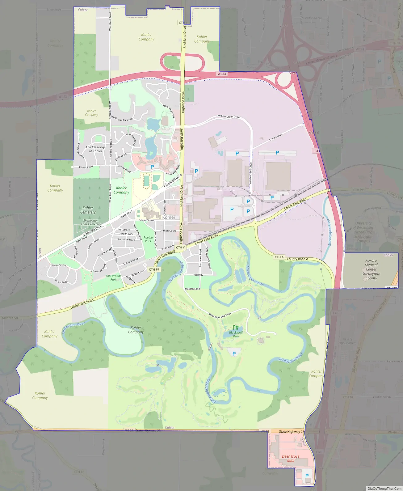
Kohler Road Map
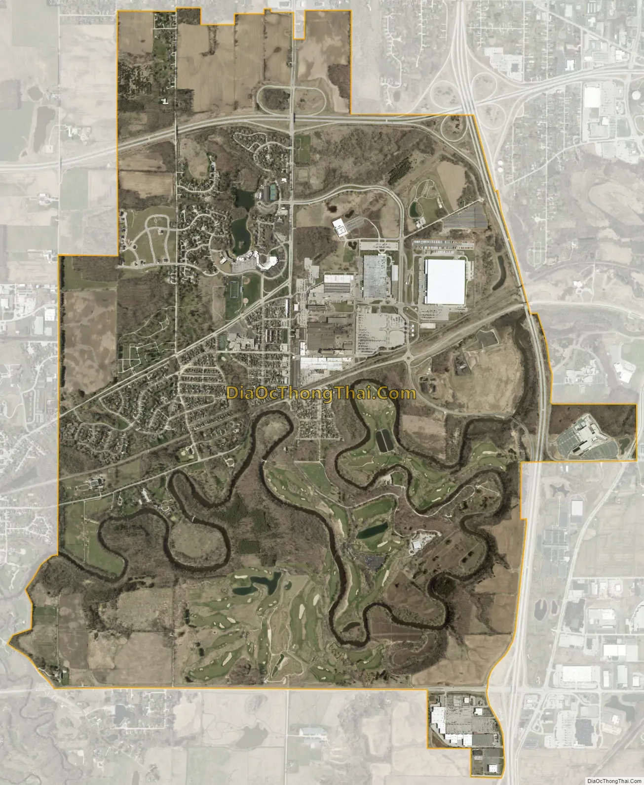
Kohler city Satellite Map
Geography
Kohler is located at 43°44′18″N 87°46′52″W / 43.73833°N 87.78111°W / 43.73833; -87.78111 (43.738244, -87.781109).
According to the United States Census Bureau, the village has a total area of 5.63 square miles (14.58 km), of which, 5.41 square miles (14.01 km) of it is land and 0.22 square miles (0.57 km) is water.
See also
Map of Wisconsin State and its subdivision:- Adams
- Ashland
- Barron
- Bayfield
- Brown
- Buffalo
- Burnett
- Calumet
- Chippewa
- Clark
- Columbia
- Crawford
- Dane
- Dodge
- Door
- Douglas
- Dunn
- Eau Claire
- Florence
- Fond du Lac
- Forest
- Grant
- Green
- Green Lake
- Iowa
- Iron
- Jackson
- Jefferson
- Juneau
- Kenosha
- Kewaunee
- La Crosse
- Lafayette
- Lake Michigan
- Lake Superior
- Langlade
- Lincoln
- Manitowoc
- Marathon
- Marinette
- Marquette
- Menominee
- Milwaukee
- Monroe
- Oconto
- Oneida
- Outagamie
- Ozaukee
- Pepin
- Pierce
- Polk
- Portage
- Price
- Racine
- Richland
- Rock
- Rusk
- Saint Croix
- Sauk
- Sawyer
- Shawano
- Sheboygan
- Taylor
- Trempealeau
- Vernon
- Vilas
- Walworth
- Washburn
- Washington
- Waukesha
- Waupaca
- Waushara
- Winnebago
- Wood
- Alabama
- Alaska
- Arizona
- Arkansas
- California
- Colorado
- Connecticut
- Delaware
- District of Columbia
- Florida
- Georgia
- Hawaii
- Idaho
- Illinois
- Indiana
- Iowa
- Kansas
- Kentucky
- Louisiana
- Maine
- Maryland
- Massachusetts
- Michigan
- Minnesota
- Mississippi
- Missouri
- Montana
- Nebraska
- Nevada
- New Hampshire
- New Jersey
- New Mexico
- New York
- North Carolina
- North Dakota
- Ohio
- Oklahoma
- Oregon
- Pennsylvania
- Rhode Island
- South Carolina
- South Dakota
- Tennessee
- Texas
- Utah
- Vermont
- Virginia
- Washington
- West Virginia
- Wisconsin
- Wyoming