Lake Mills is a city in Jefferson County, Wisconsin, United States. The population was 6,211 at the 2020 census. The city is located partially within the Town of Lake Mills.
| Name: | Lake Mills city |
|---|---|
| LSAD Code: | 25 |
| LSAD Description: | city (suffix) |
| State: | Wisconsin |
| County: | Jefferson County |
| Elevation: | 837 ft (255 m) |
| Total Area: | 4.48 sq mi (11.61 km²) |
| Land Area: | 4.17 sq mi (10.81 km²) |
| Water Area: | 0.31 sq mi (0.80 km²) |
| Total Population: | 6,211 |
| Population Density: | 1,434.08/sq mi (553.69/km²) |
| Area code: | 920 |
| FIPS code: | 5541675 |
| GNISfeature ID: | 1567742 |
| Website: | www.ci.lake-mills.wi.us |
Online Interactive Map
Click on ![]() to view map in "full screen" mode.
to view map in "full screen" mode.
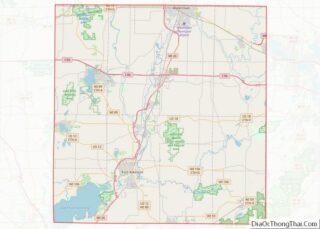
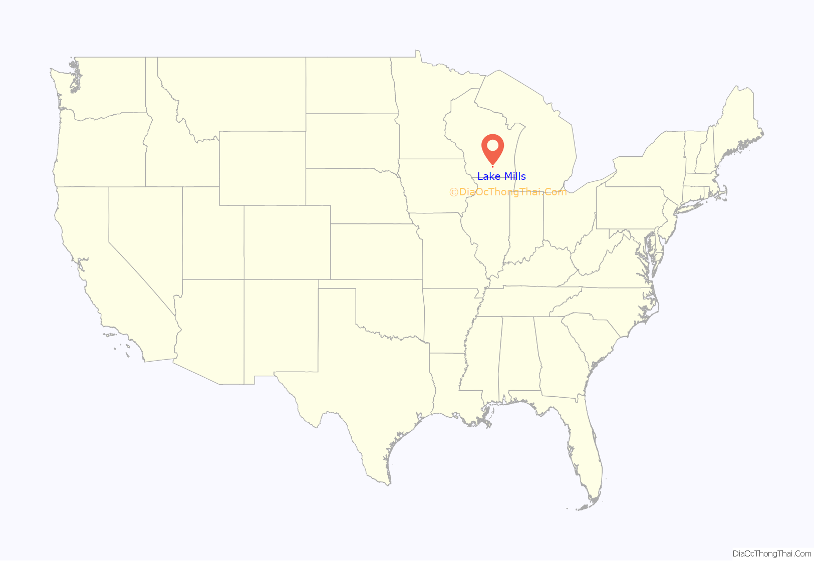
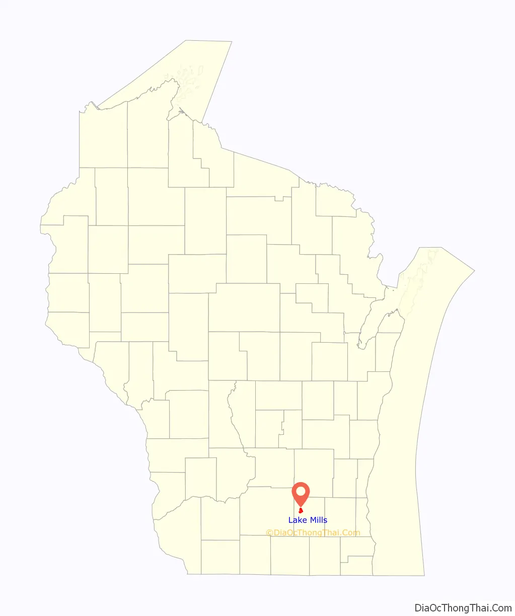
Lake Mills location map. Where is Lake Mills city?
History
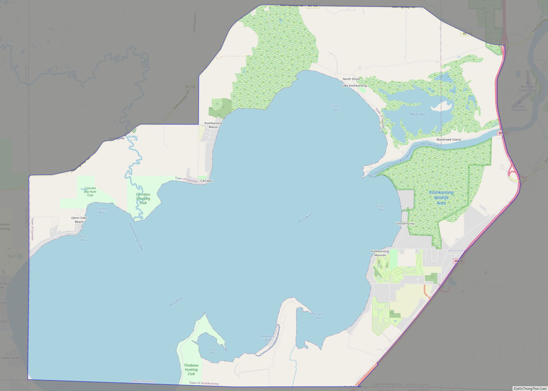
Lake Mills occupies the east shore of Rock Lake. The area was first settled by Captain Joseph Keyes. He called it “Lake Mills”, after building a saw mill and grist mill using power from nearby Rock Lake.
Lake Mills was chartered in 1836, and the first building was built in 1837. The village of Lake Mills incorporated in 1852 out of the surrounding town of Lake Mills. In 1866 the village changed its name to “Tyranena”, but changed it back again to “Lake Mills” the next year. (Tyranena is supposedly an indigenous name meaning “sparkling waters”.)
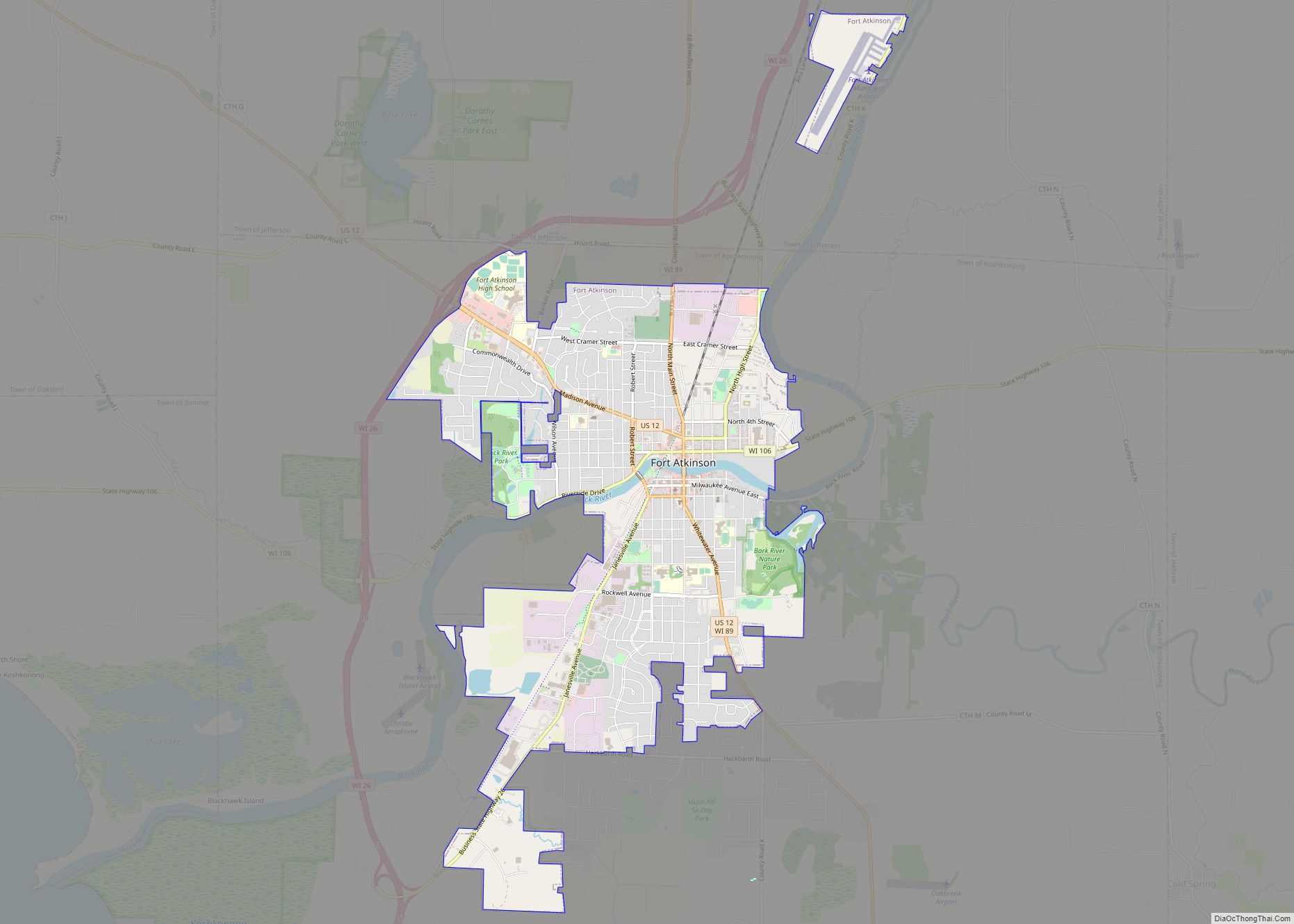
Lake Mills Road Map
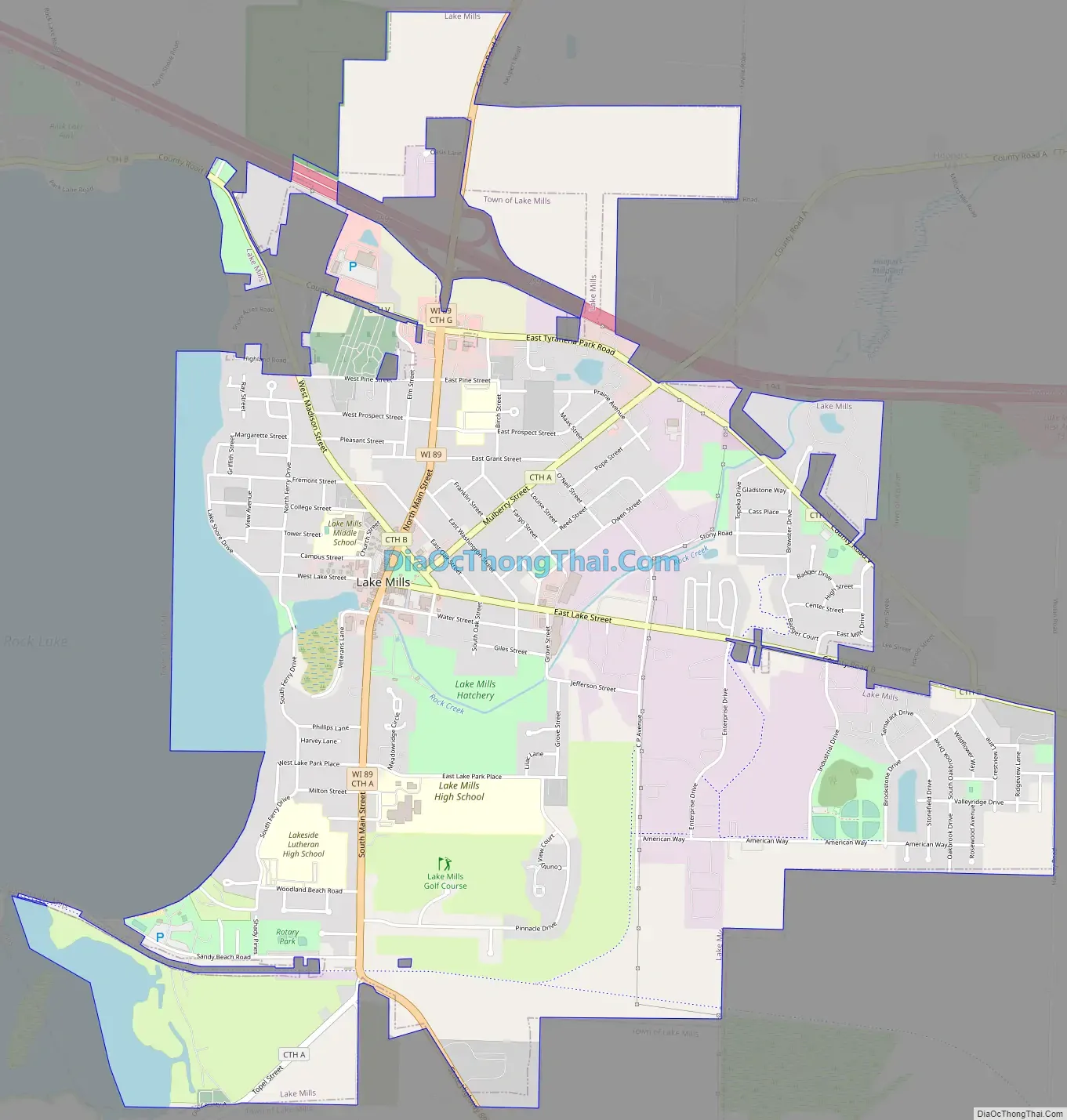
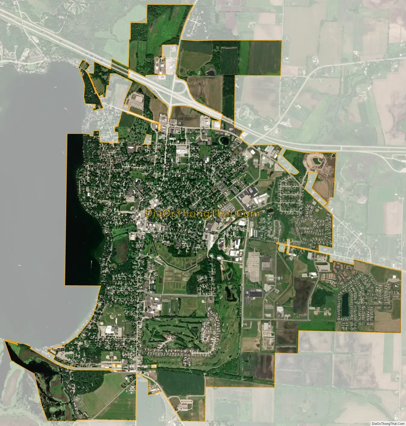
Lake Mills city Satellite Map
Geography
Lake Mills is located at 43°4′48″N 88°54′33″W / 43.08000°N 88.90917°W / 43.08000; -88.90917 (43.080108, -88.909209).
According to the United States Census Bureau, the city has a total area of 4.44 square miles (11.50 km), of which 4.06 square miles (10.52 km) is land and 0.38 square miles (0.98 km) is water.
See also
Map of Wisconsin State and its subdivision:- Adams
- Ashland
- Barron
- Bayfield
- Brown
- Buffalo
- Burnett
- Calumet
- Chippewa
- Clark
- Columbia
- Crawford
- Dane
- Dodge
- Door
- Douglas
- Dunn
- Eau Claire
- Florence
- Fond du Lac
- Forest
- Grant
- Green
- Green Lake
- Iowa
- Iron
- Jackson
- Jefferson
- Juneau
- Kenosha
- Kewaunee
- La Crosse
- Lafayette
- Lake Michigan
- Lake Superior
- Langlade
- Lincoln
- Manitowoc
- Marathon
- Marinette
- Marquette
- Menominee
- Milwaukee
- Monroe
- Oconto
- Oneida
- Outagamie
- Ozaukee
- Pepin
- Pierce
- Polk
- Portage
- Price
- Racine
- Richland
- Rock
- Rusk
- Saint Croix
- Sauk
- Sawyer
- Shawano
- Sheboygan
- Taylor
- Trempealeau
- Vernon
- Vilas
- Walworth
- Washburn
- Washington
- Waukesha
- Waupaca
- Waushara
- Winnebago
- Wood
- Alabama
- Alaska
- Arizona
- Arkansas
- California
- Colorado
- Connecticut
- Delaware
- District of Columbia
- Florida
- Georgia
- Hawaii
- Idaho
- Illinois
- Indiana
- Iowa
- Kansas
- Kentucky
- Louisiana
- Maine
- Maryland
- Massachusetts
- Michigan
- Minnesota
- Mississippi
- Missouri
- Montana
- Nebraska
- Nevada
- New Hampshire
- New Jersey
- New Mexico
- New York
- North Carolina
- North Dakota
- Ohio
- Oklahoma
- Oregon
- Pennsylvania
- Rhode Island
- South Carolina
- South Dakota
- Tennessee
- Texas
- Utah
- Vermont
- Virginia
- Washington
- West Virginia
- Wisconsin
- Wyoming