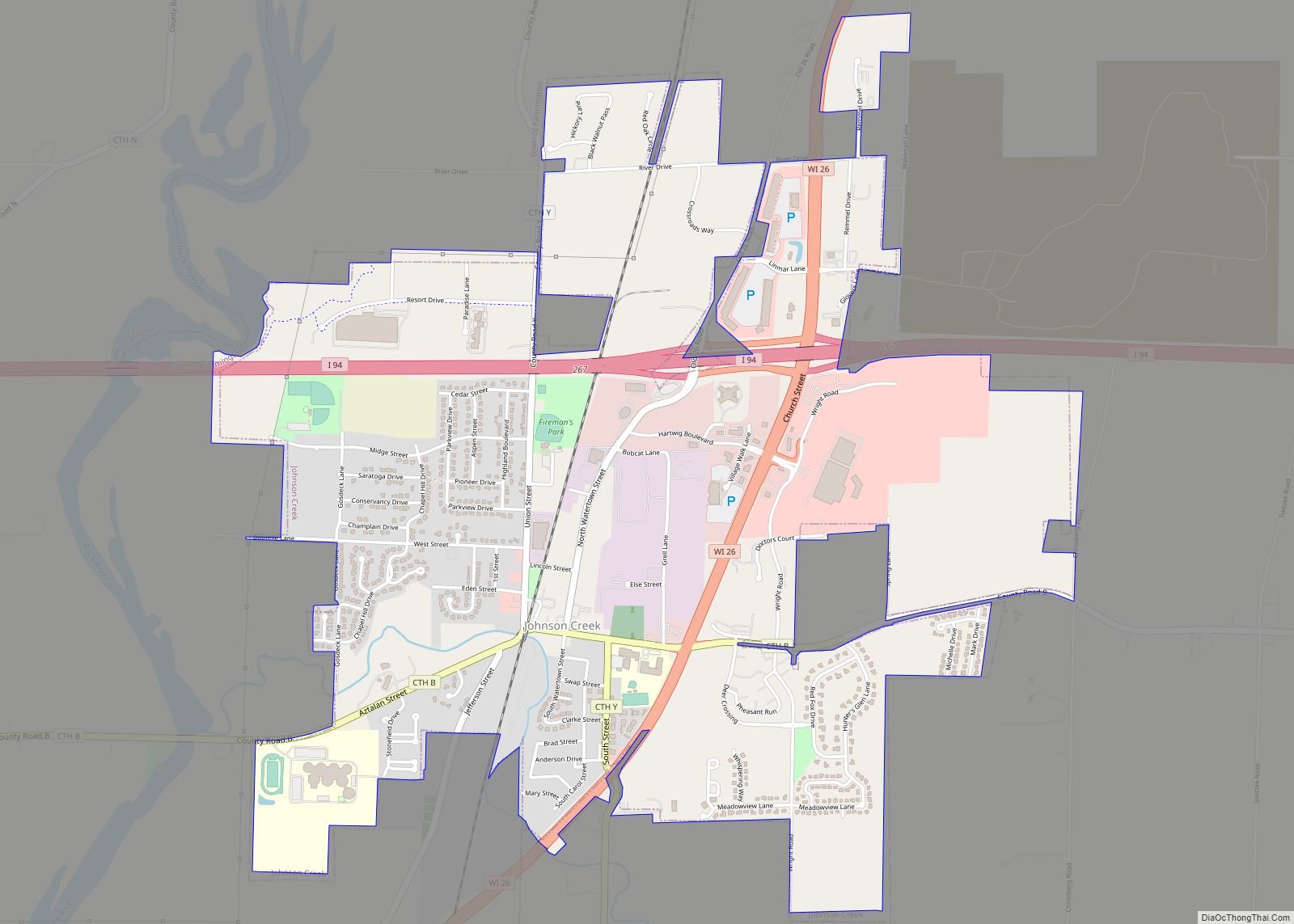
Johnson Creek is a village in Jefferson County, Wisconsin, United States. The population was 3,318 at the 2020 census. The village is approximately halfway between Milwaukee and Madison, at the intersection of Wisconsin Highway 26 and Interstate 94.
| Name: | Johnson Creek village |
|---|---|
| LSAD Code: | 47 |
| LSAD Description: | village (suffix) |
| State: | Wisconsin |
| County: | Jefferson County |
| Elevation: | 830 ft (250 m) |
| Total Area: | 3.04 sq mi (7.88 km²) |
| Land Area: | 3.03 sq mi (7.85 km²) |
| Water Area: | 0.01 sq mi (0.03 km²) |
| Total Population: | 3,318 |
| Population Density: | 1,005.28/sq mi (388.14/km²) |
| Area code: | 920 |
| FIPS code: | 5538350 |
| GNISfeature ID: | 1567212 |
| Website: | www.johnsoncreek.govoffice2.com |
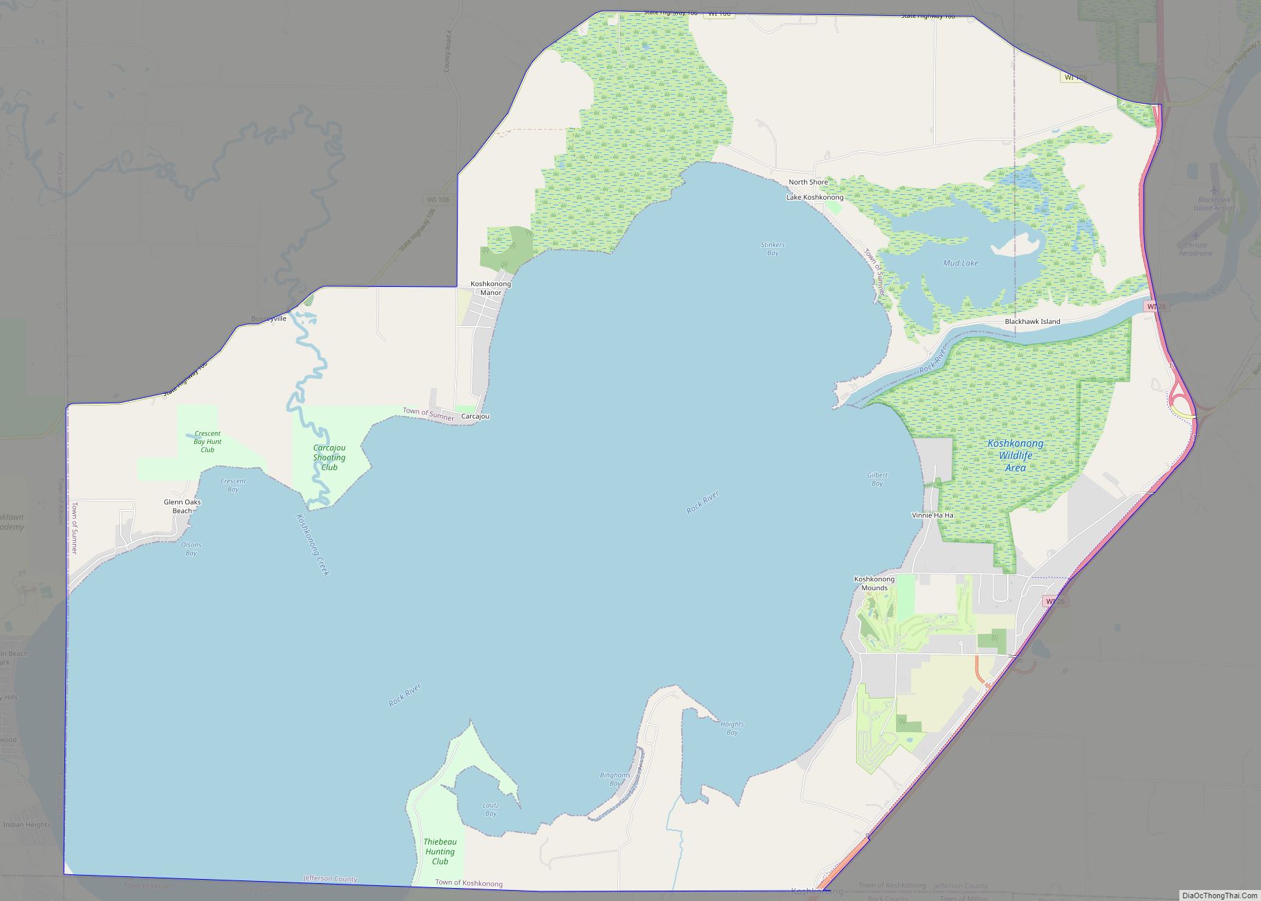
Online Interactive Map
Click on ![]() to view map in "full screen" mode.
to view map in "full screen" mode.
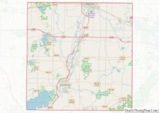
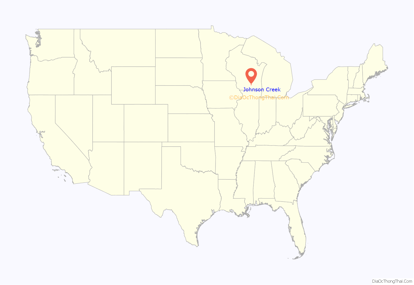
Johnson Creek location map. Where is Johnson Creek village?

History
The first two settlers were Charles Goodhue and Timothy Johnson, the latter of whom also founded nearby Watertown. While sometimes called Belleville, this caused it to be confused with another Belleville, Wisconsin, and the post office has always been named Johnson Creek. The village took its name from its location on Johnson Creek.
Johnson Creek was founded where the Union Pacific railroad crosses Johnson Creek just above where the stream empties into the Rock River. The Union Pacific spur currently runs from Fort Atkinson to Clyman Junction. The economy is now more dependent on Interstate 94. A large outlet mall shopping complex was built in 1998 to capitalize on this traffic. The once famous hotel and supper club, The Gobbler, was in Johnson Creek.
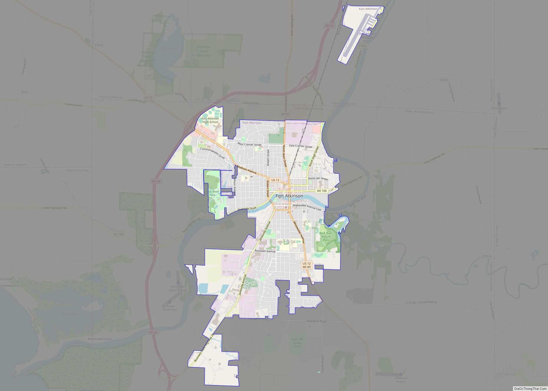
Johnson Creek Road Map

Johnson Creek city Satellite Map

Geography
Johnson Creek is located at 43°4′45″N 88°46′16″W / 43.07917°N 88.77111°W / 43.07917; -88.77111 (43.079147, -88.771030).
According to the United States Census Bureau, the village has a total area of 3.03 square miles (7.85 km), of which 3.02 square miles (7.82 km) is land and 0.01 square miles (0.03 km) is water.
See also
Map of Wisconsin State and its subdivision:- Adams
- Ashland
- Barron
- Bayfield
- Brown
- Buffalo
- Burnett
- Calumet
- Chippewa
- Clark
- Columbia
- Crawford
- Dane
- Dodge
- Door
- Douglas
- Dunn
- Eau Claire
- Florence
- Fond du Lac
- Forest
- Grant
- Green
- Green Lake
- Iowa
- Iron
- Jackson
- Jefferson
- Juneau
- Kenosha
- Kewaunee
- La Crosse
- Lafayette
- Lake Michigan
- Lake Superior
- Langlade
- Lincoln
- Manitowoc
- Marathon
- Marinette
- Marquette
- Menominee
- Milwaukee
- Monroe
- Oconto
- Oneida
- Outagamie
- Ozaukee
- Pepin
- Pierce
- Polk
- Portage
- Price
- Racine
- Richland
- Rock
- Rusk
- Saint Croix
- Sauk
- Sawyer
- Shawano
- Sheboygan
- Taylor
- Trempealeau
- Vernon
- Vilas
- Walworth
- Washburn
- Washington
- Waukesha
- Waupaca
- Waushara
- Winnebago
- Wood
- Alabama
- Alaska
- Arizona
- Arkansas
- California
- Colorado
- Connecticut
- Delaware
- District of Columbia
- Florida
- Georgia
- Hawaii
- Idaho
- Illinois
- Indiana
- Iowa
- Kansas
- Kentucky
- Louisiana
- Maine
- Maryland
- Massachusetts
- Michigan
- Minnesota
- Mississippi
- Missouri
- Montana
- Nebraska
- Nevada
- New Hampshire
- New Jersey
- New Mexico
- New York
- North Carolina
- North Dakota
- Ohio
- Oklahoma
- Oregon
- Pennsylvania
- Rhode Island
- South Carolina
- South Dakota
- Tennessee
- Texas
- Utah
- Vermont
- Virginia
- Washington
- West Virginia
- Wisconsin
- Wyoming