Lauderdale Lakes is a census-designated place in the town of La Grange, Walworth County, Wisconsin, United States. Its population was 1,283 as of the 2020 census.
| Name: | Lauderdale Lakes CDP |
|---|---|
| LSAD Code: | 57 |
| LSAD Description: | CDP (suffix) |
| State: | Wisconsin |
| County: | Walworth County |
| Elevation: | 889 ft (271 m) |
| Total Area: | 5.440 sq mi (14.09 km²) |
| Land Area: | 4.296 sq mi (11.13 km²) |
| Water Area: | 1.144 sq mi (2.96 km²) |
| Total Population: | 1,283 |
| Population Density: | 240/sq mi (91/km²) |
| Area code: | 262 |
| FIPS code: | 5542805 |
| GNISfeature ID: | 2586523 |
| Website: | https://www.lauderdalelakedistrict.com/ |
Online Interactive Map
Click on ![]() to view map in "full screen" mode.
to view map in "full screen" mode.
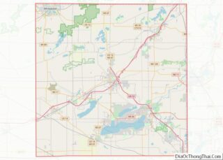
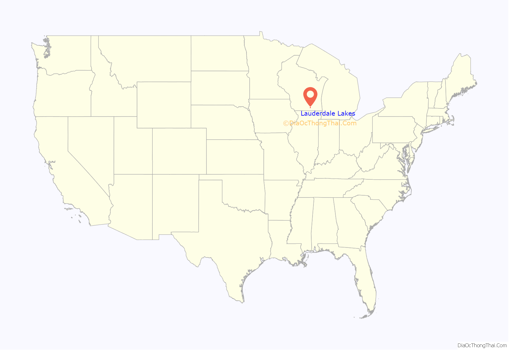
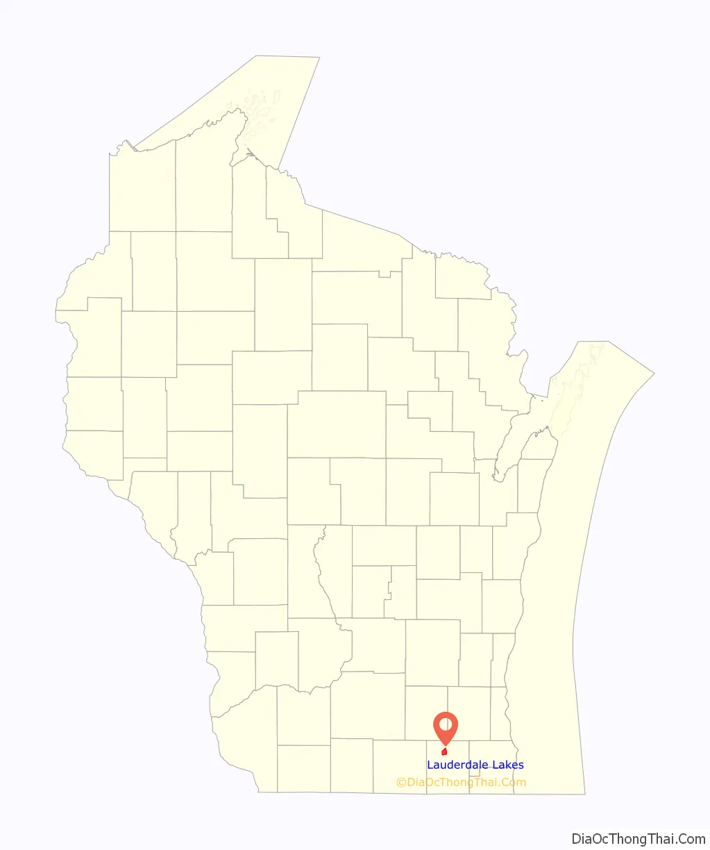
Lauderdale Lakes location map. Where is Lauderdale Lakes CDP?
History
The lakes were named after James Lauderdale. James moved to the area in 1841 along with his family. The New York native built the first residential building in 1842. James, his brother-in-law, and his cousin each purchased 160 acres of the Homestead Act price of $1.25 an acre. James and his family went back to New York and shortly returned in September 1842. James built a log cabin along the shore. James’ wife didn’t like living next to the water so they built a larger house next to the road in 1855. Eight years later, Chicago native John Wheeler bought the shoreline property and started building the Sterlingworth Hotel in 1893.
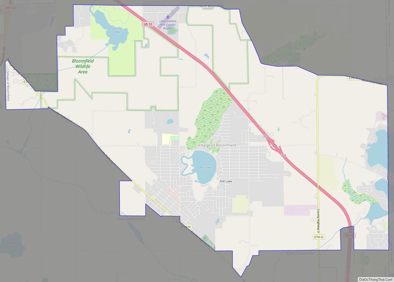
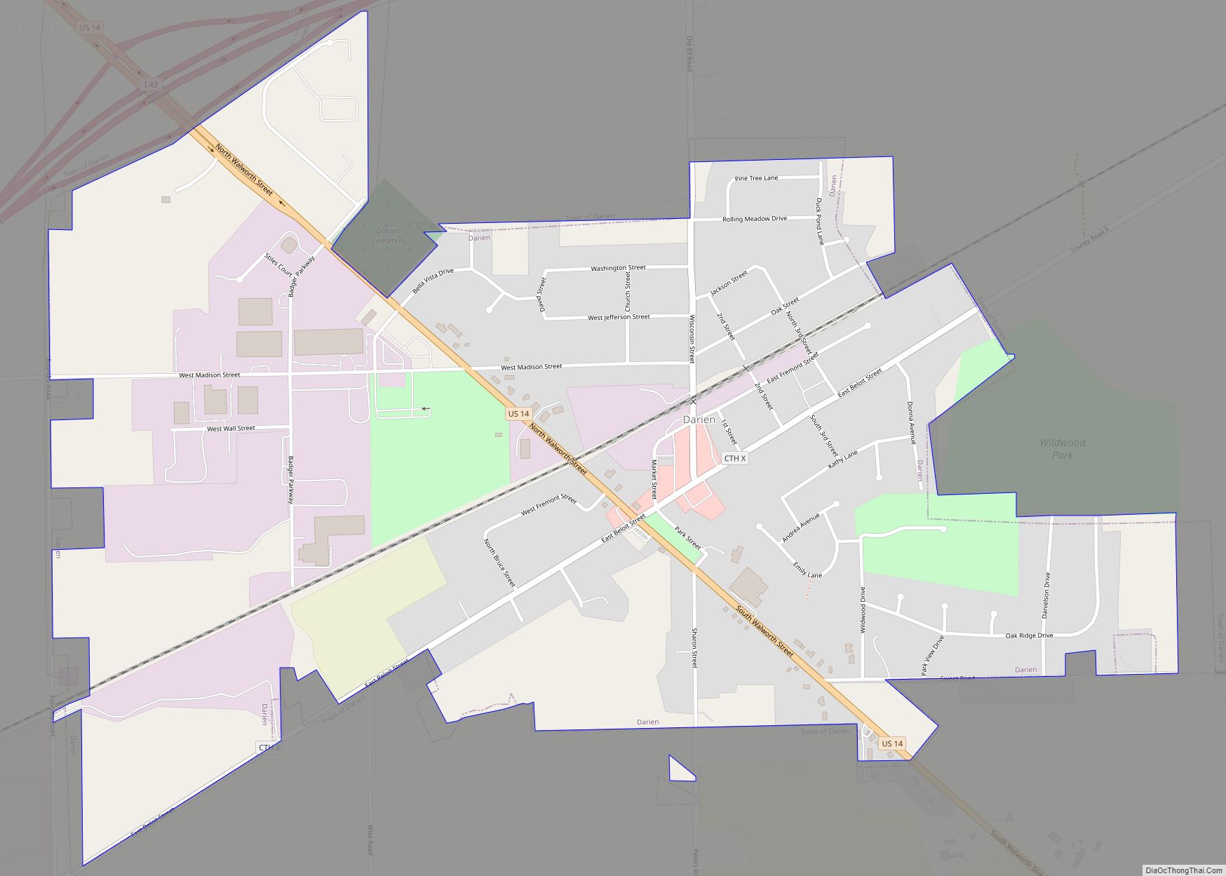
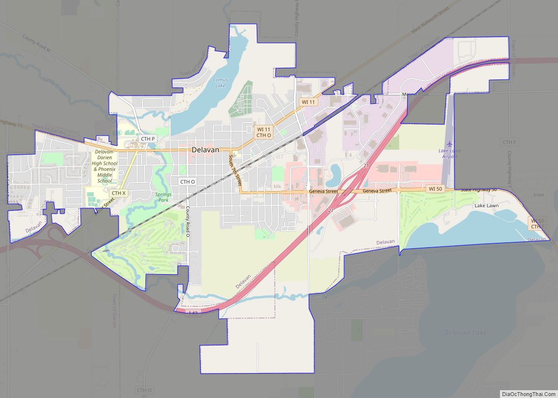
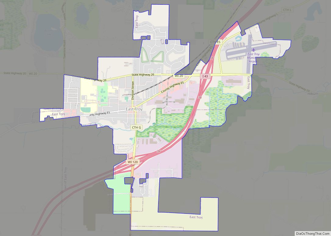
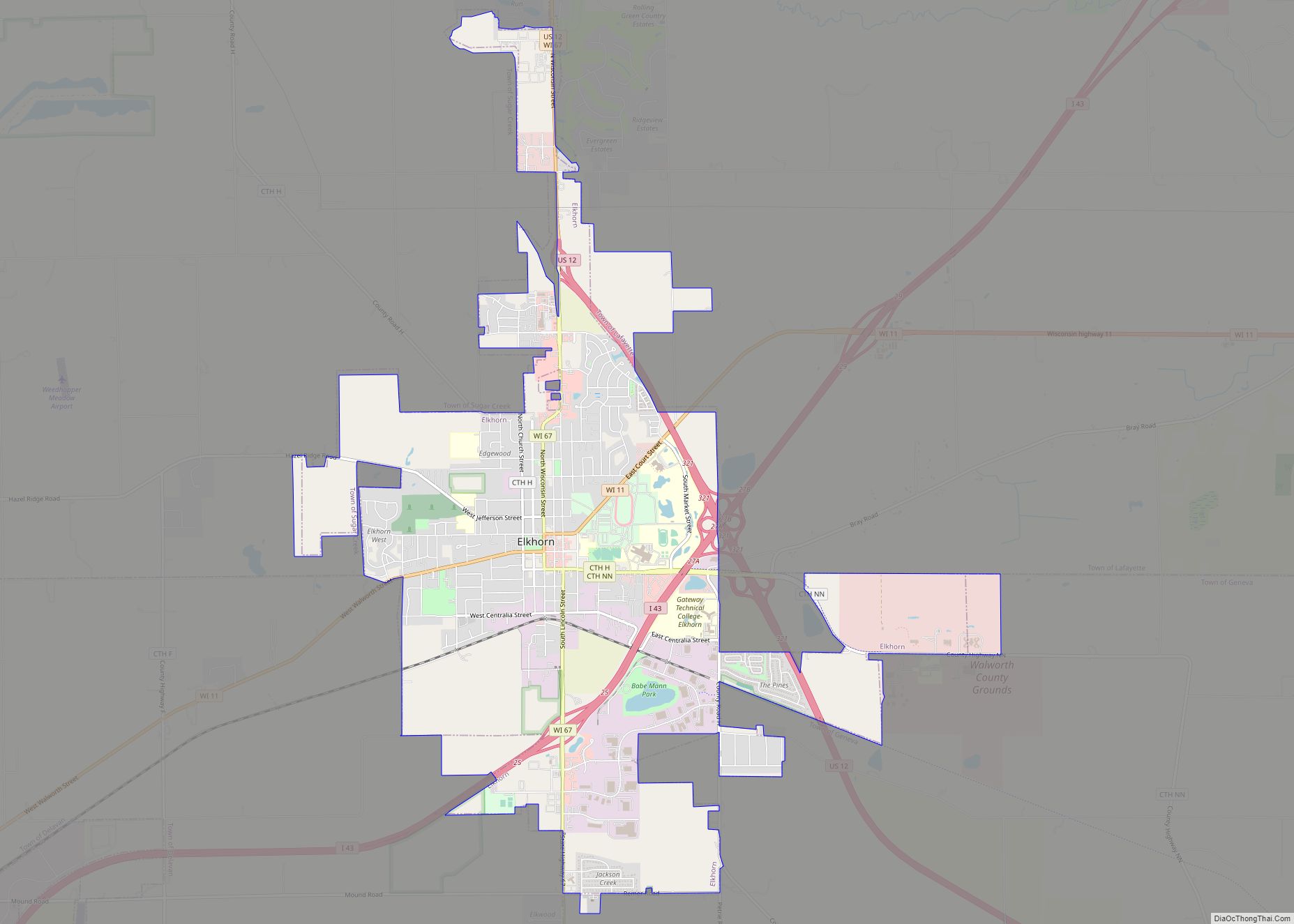
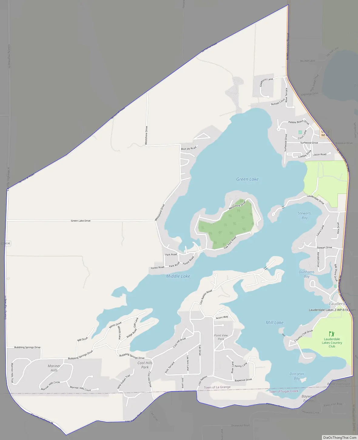
Lauderdale Lakes Road Map
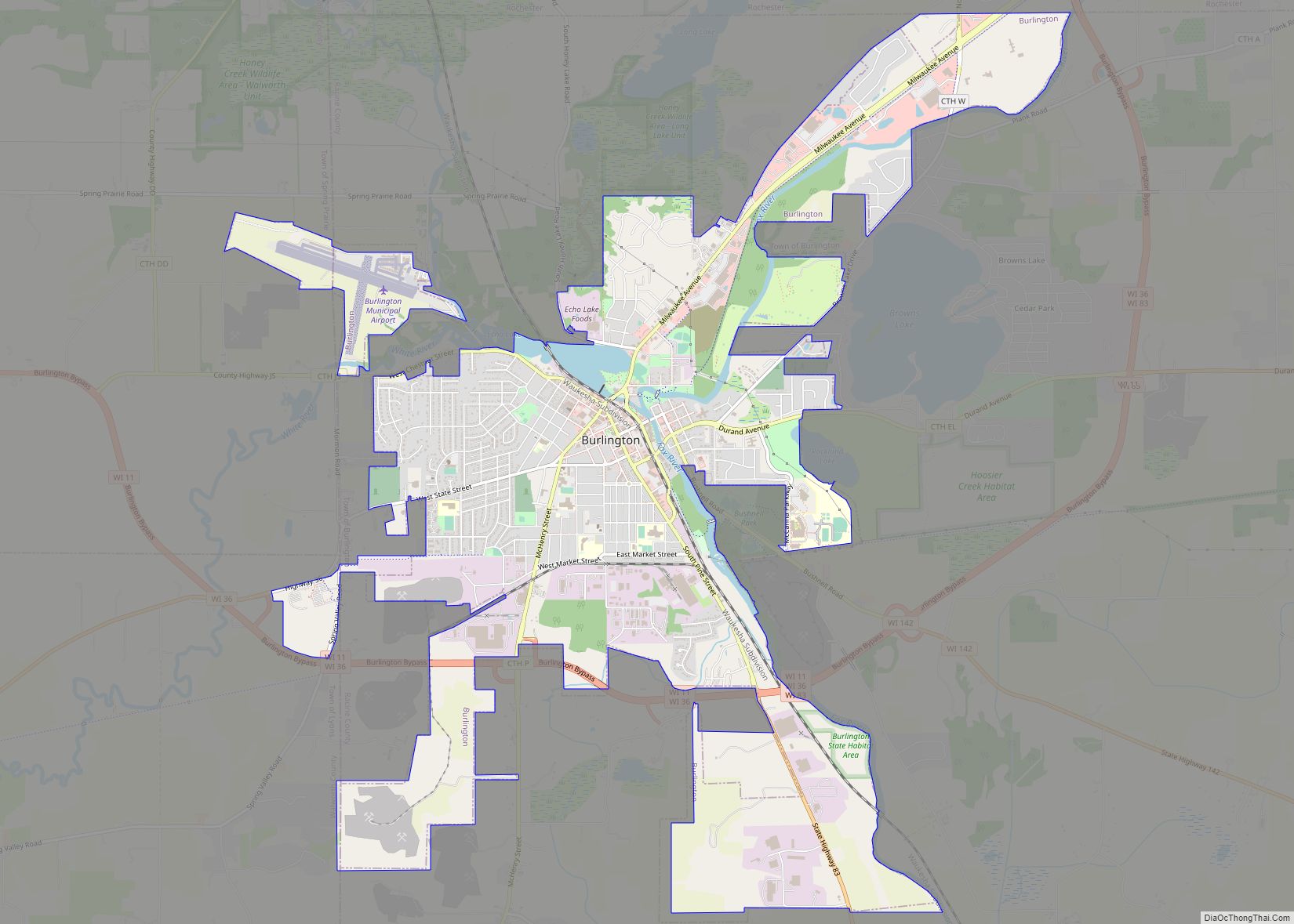
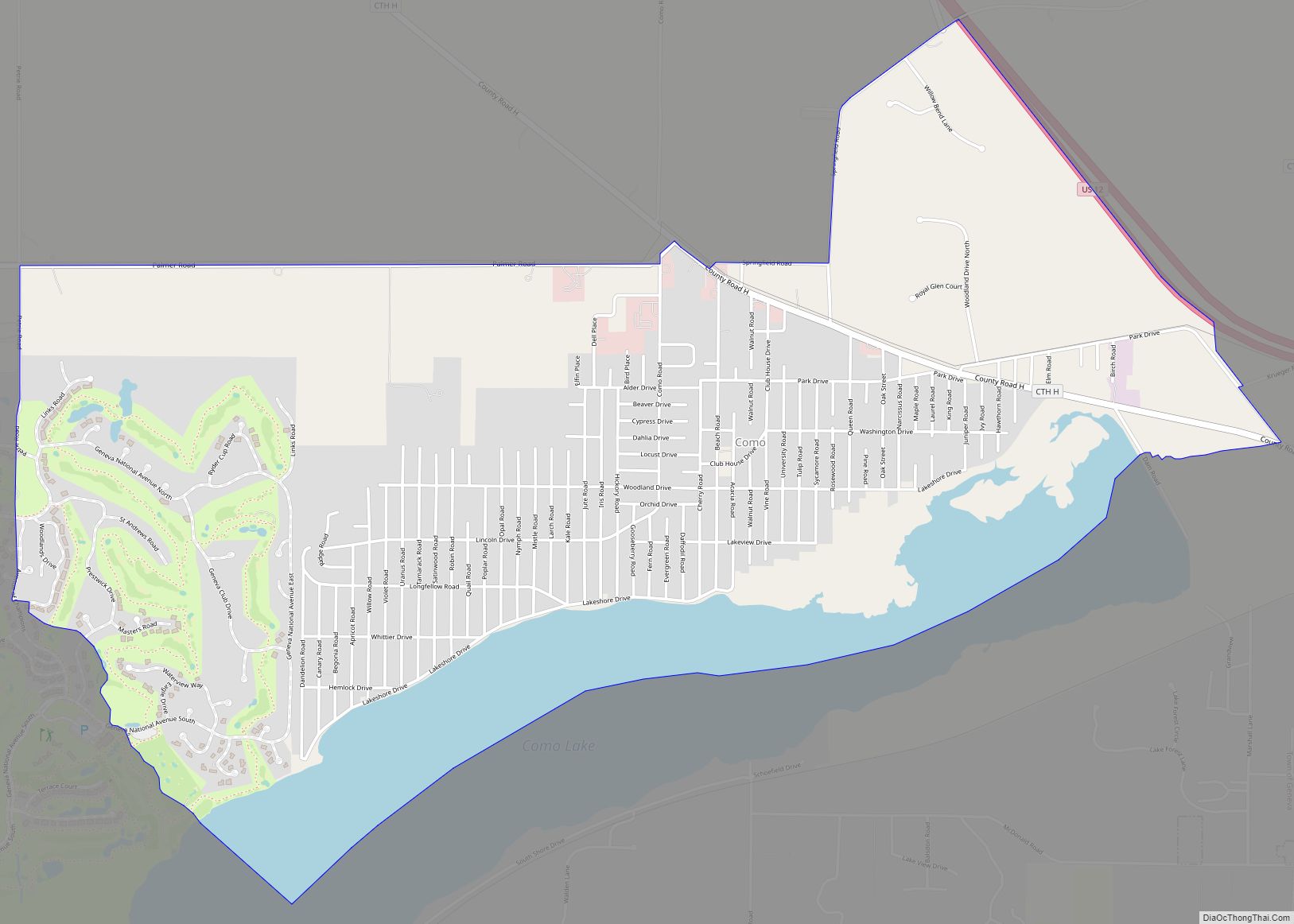
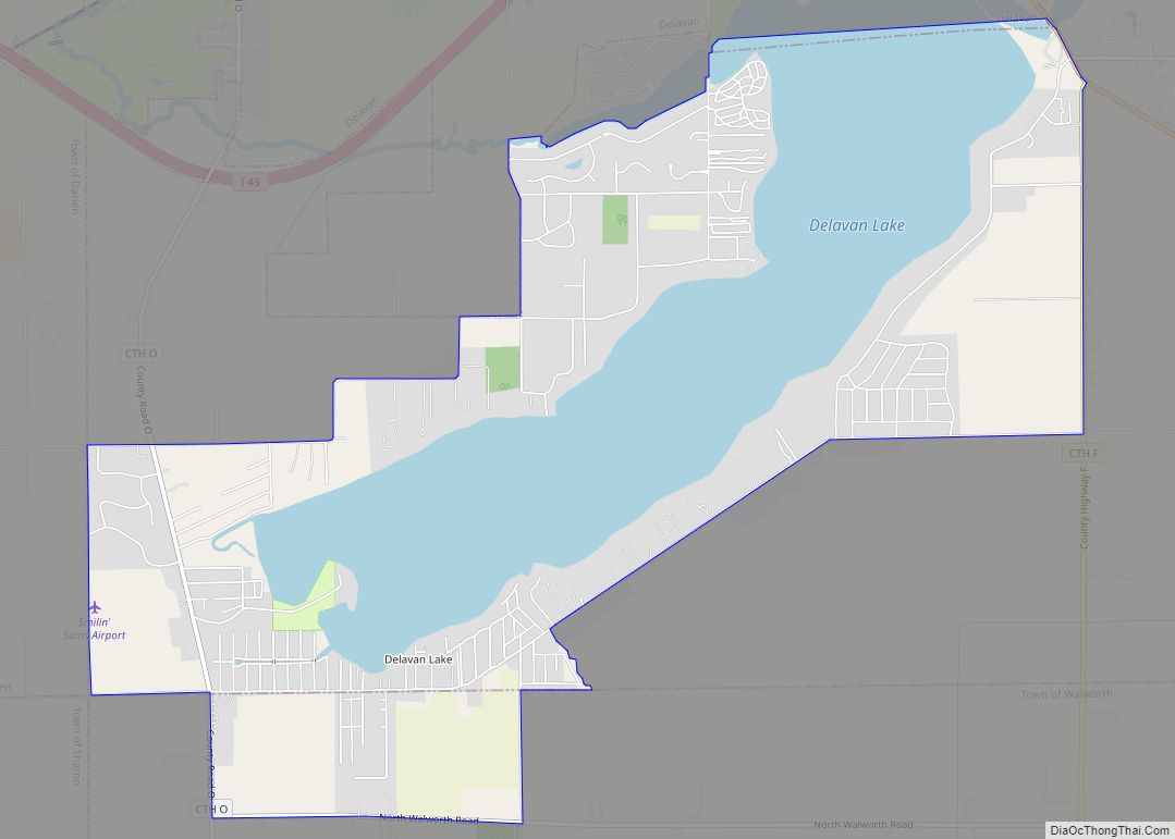
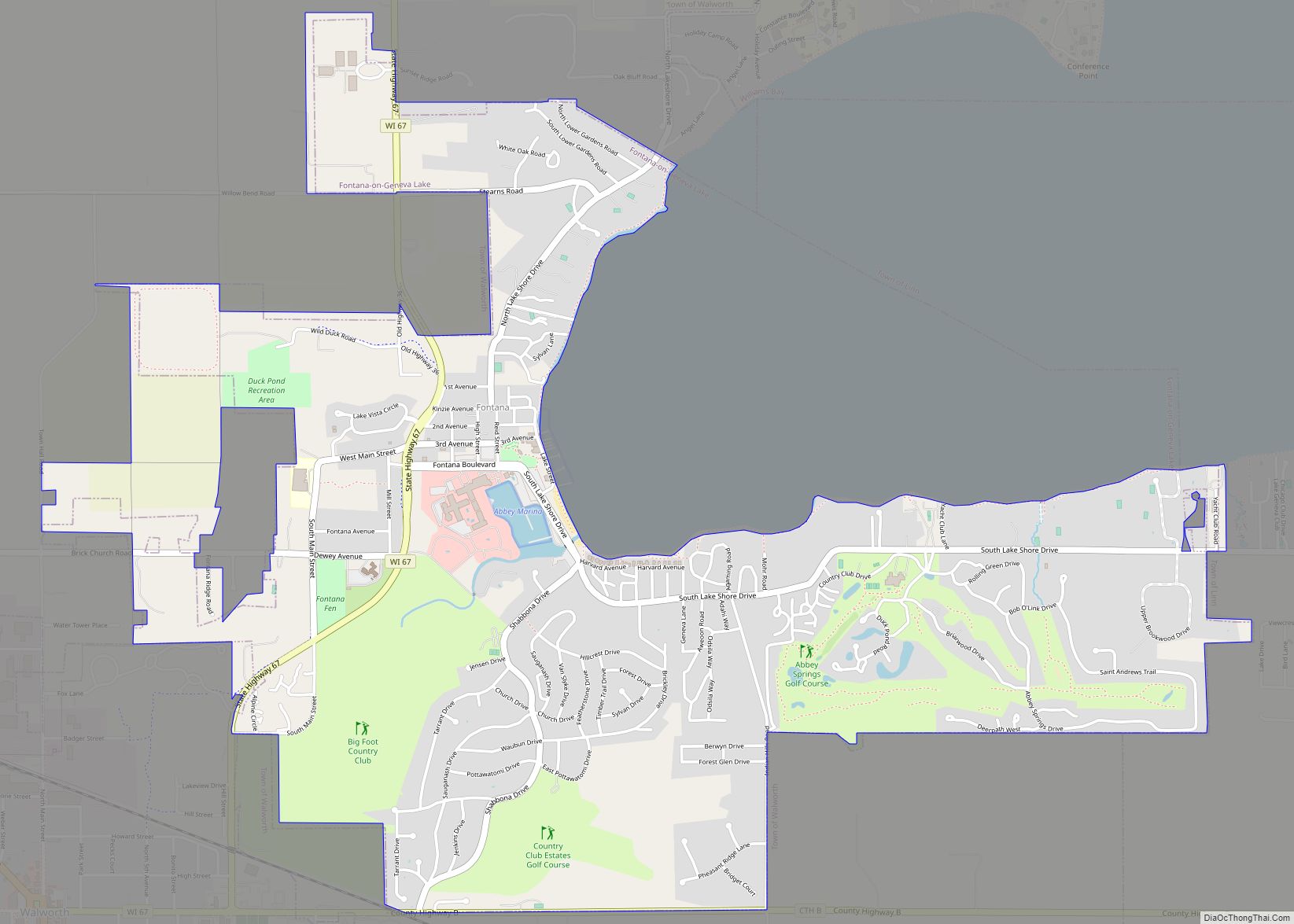
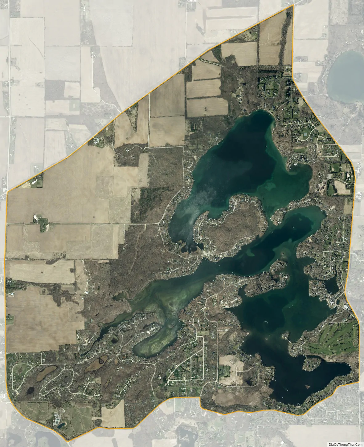
Lauderdale Lakes city Satellite Map
See also
Map of Wisconsin State and its subdivision:- Adams
- Ashland
- Barron
- Bayfield
- Brown
- Buffalo
- Burnett
- Calumet
- Chippewa
- Clark
- Columbia
- Crawford
- Dane
- Dodge
- Door
- Douglas
- Dunn
- Eau Claire
- Florence
- Fond du Lac
- Forest
- Grant
- Green
- Green Lake
- Iowa
- Iron
- Jackson
- Jefferson
- Juneau
- Kenosha
- Kewaunee
- La Crosse
- Lafayette
- Lake Michigan
- Lake Superior
- Langlade
- Lincoln
- Manitowoc
- Marathon
- Marinette
- Marquette
- Menominee
- Milwaukee
- Monroe
- Oconto
- Oneida
- Outagamie
- Ozaukee
- Pepin
- Pierce
- Polk
- Portage
- Price
- Racine
- Richland
- Rock
- Rusk
- Saint Croix
- Sauk
- Sawyer
- Shawano
- Sheboygan
- Taylor
- Trempealeau
- Vernon
- Vilas
- Walworth
- Washburn
- Washington
- Waukesha
- Waupaca
- Waushara
- Winnebago
- Wood
- Alabama
- Alaska
- Arizona
- Arkansas
- California
- Colorado
- Connecticut
- Delaware
- District of Columbia
- Florida
- Georgia
- Hawaii
- Idaho
- Illinois
- Indiana
- Iowa
- Kansas
- Kentucky
- Louisiana
- Maine
- Maryland
- Massachusetts
- Michigan
- Minnesota
- Mississippi
- Missouri
- Montana
- Nebraska
- Nevada
- New Hampshire
- New Jersey
- New Mexico
- New York
- North Carolina
- North Dakota
- Ohio
- Oklahoma
- Oregon
- Pennsylvania
- Rhode Island
- South Carolina
- South Dakota
- Tennessee
- Texas
- Utah
- Vermont
- Virginia
- Washington
- West Virginia
- Wisconsin
- Wyoming