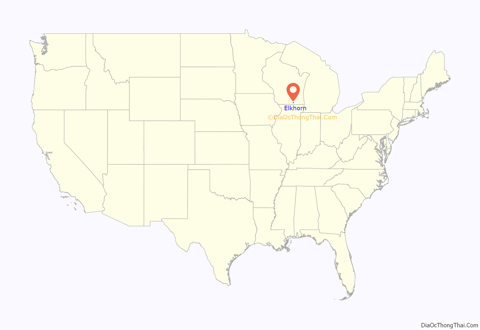
Elkhorn is a city in Walworth County, Wisconsin, United States. It is located 40 miles (64 km) southwest of Milwaukee. As of the 2020 census, it was home to 10,247 people, up from 10,084 at the 2010 census. It is the county seat.
| Name: | Elkhorn city |
|---|---|
| LSAD Code: | 25 |
| LSAD Description: | city (suffix) |
| State: | Wisconsin |
| County: | Walworth County |
| Elevation: | 1,030 ft (314 m) |
| Total Area: | 8.11 sq mi (21.00 km²) |
| Land Area: | 8.06 sq mi (20.88 km²) |
| Water Area: | 0.04 sq mi (0.11 km²) |
| Total Population: | 10,247 |
| Population Density: | 1,242.59/sq mi (479.78/km²) |
| Area code: | 262 |
| FIPS code: | 5523300 |
| GNISfeature ID: | 1564532 |
| Website: | www.cityofelkhorn.org |
Online Interactive Map
Click on ![]() to view map in "full screen" mode.
to view map in "full screen" mode.
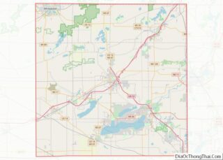
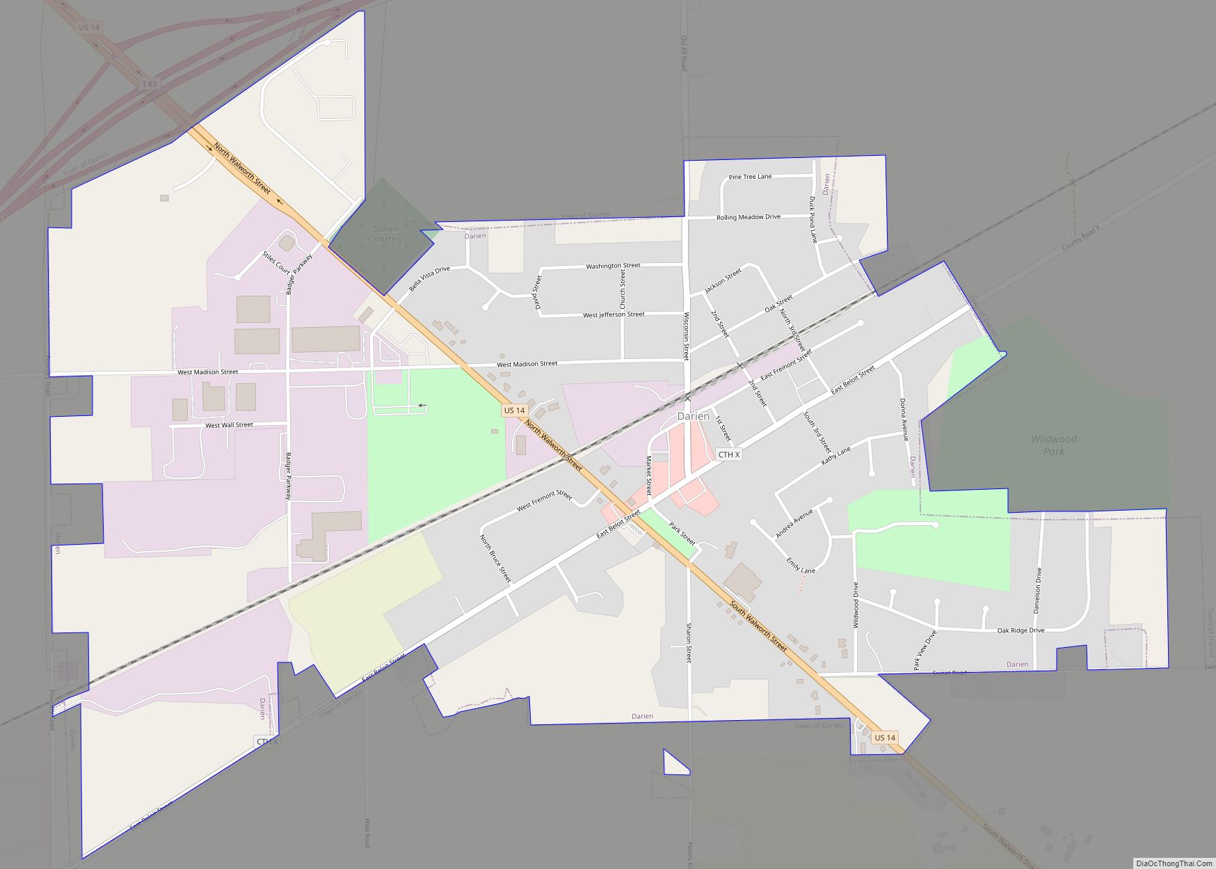
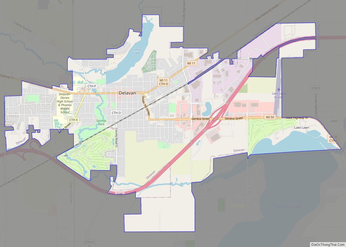
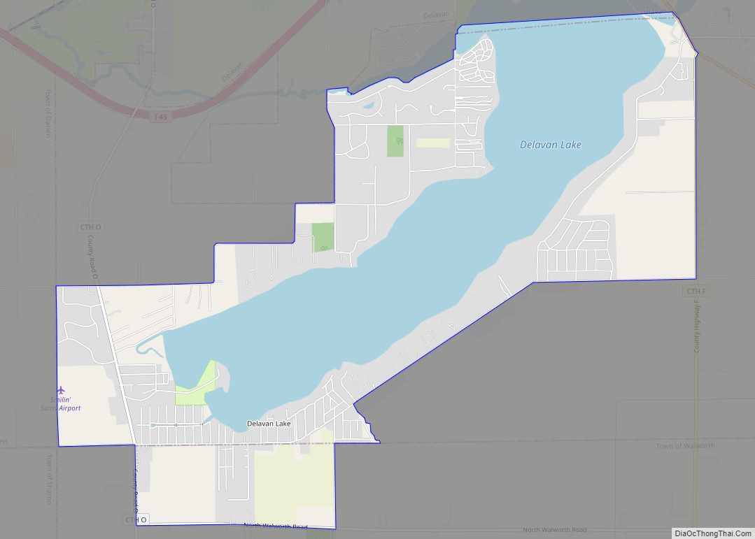
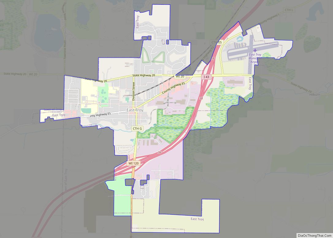
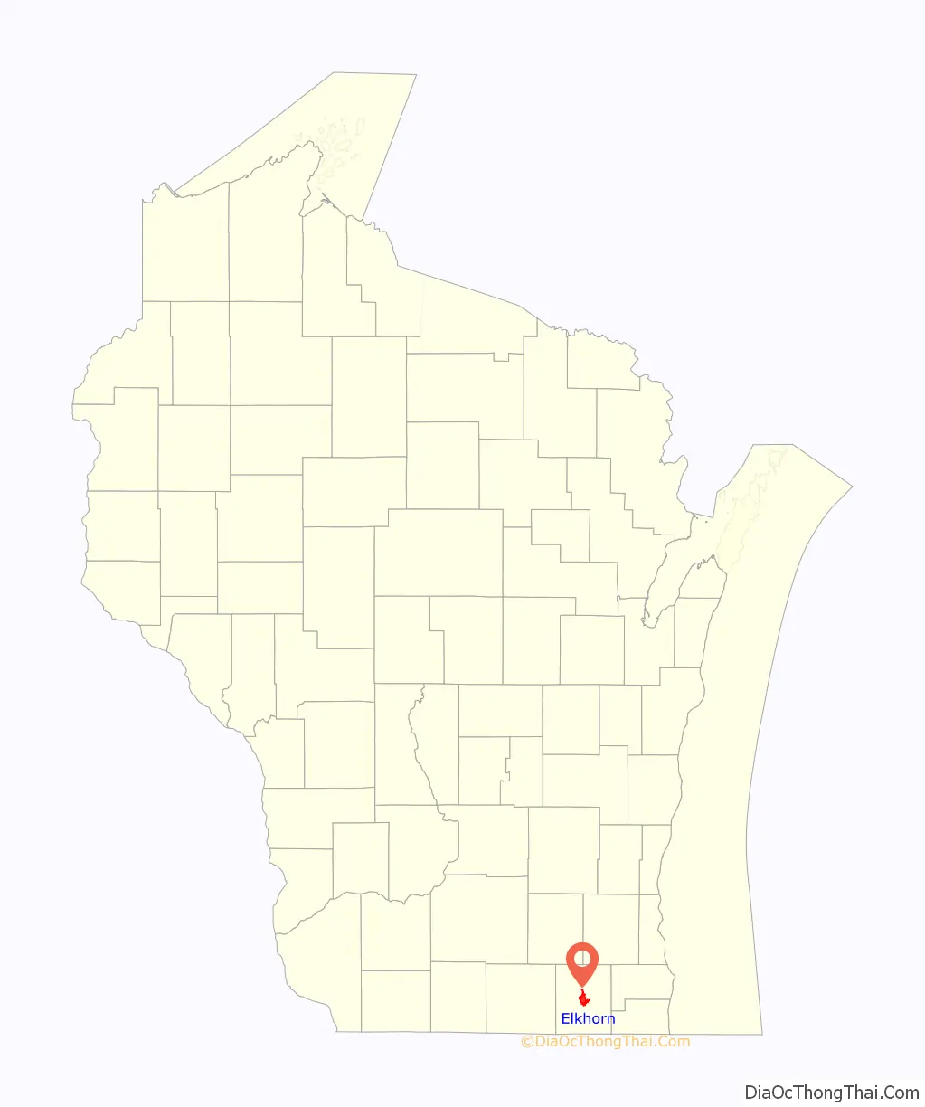
Elkhorn location map. Where is Elkhorn city?
History
In 1836, Colonel Samuel Phoenix spotted a rack of elk antlers in a tree and proclaimed the area as “Elk Horn.”
The area’s beauty and fertile soil led Daniel Bradley, his brother Milo, and LeGrand Rockwell to create a community in the area. Its growth to a population of 539 led to the first town meeting in 1846. Elkhorn was designated county seat that same year because of its location in Walworth County.
In 1851, Elkhorn became the location of the Walworth County Fair, which is now hosted annually at the Walworth County Fairgrounds. The Walworth County Fair is the largest in Wisconsin after the Wisconsin State Fair.
In the 1870s, saline water from springs located in Elkhorn was believed to cure rheumatism.
Because the city places Christmas decorations around its center, Elkhorn has been called the “Christmas Card Town” since before World War II. This tradition is celebrated every year by an annual oil painting by local artist Jan Castle Reed. These watercolor paintings are turned into Christmas cards.
Elkhorn is also known for the folklore of the Beast of Bray Road, a supposed werewolf type creature that has become the focus of books, movies, documentaries and other elements of pop culture.
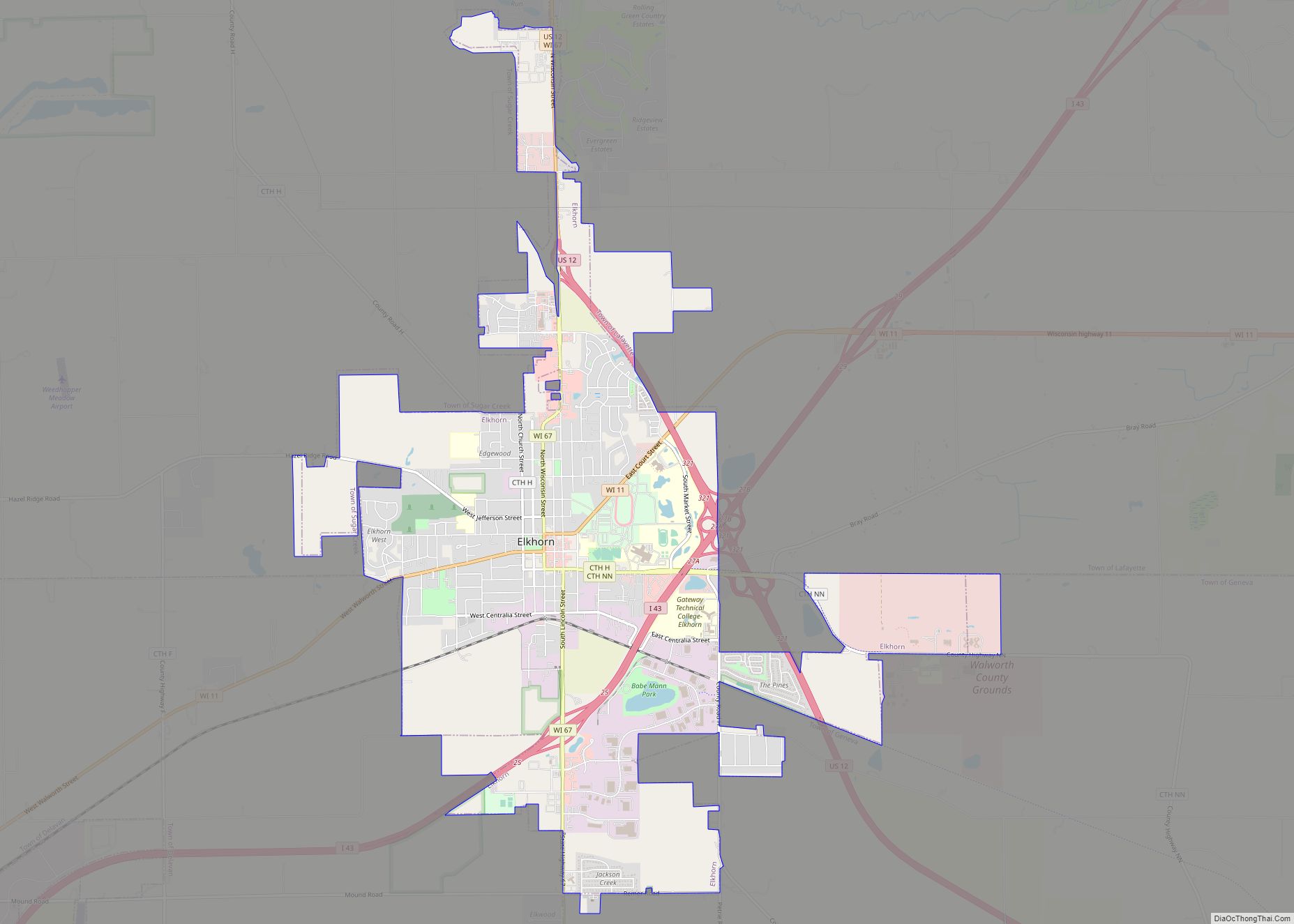
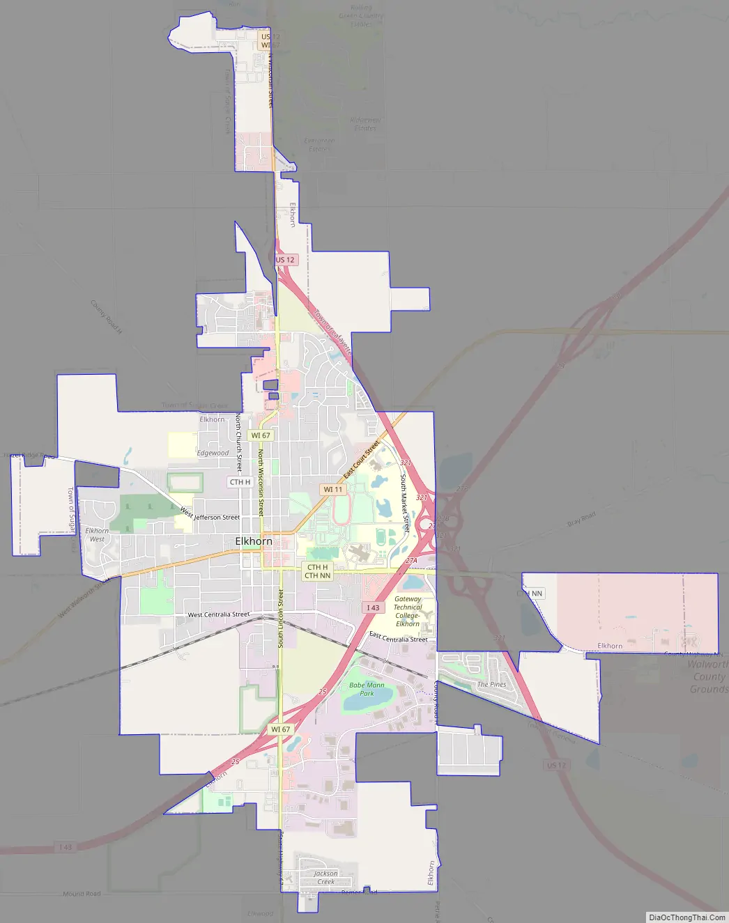
Elkhorn Road Map
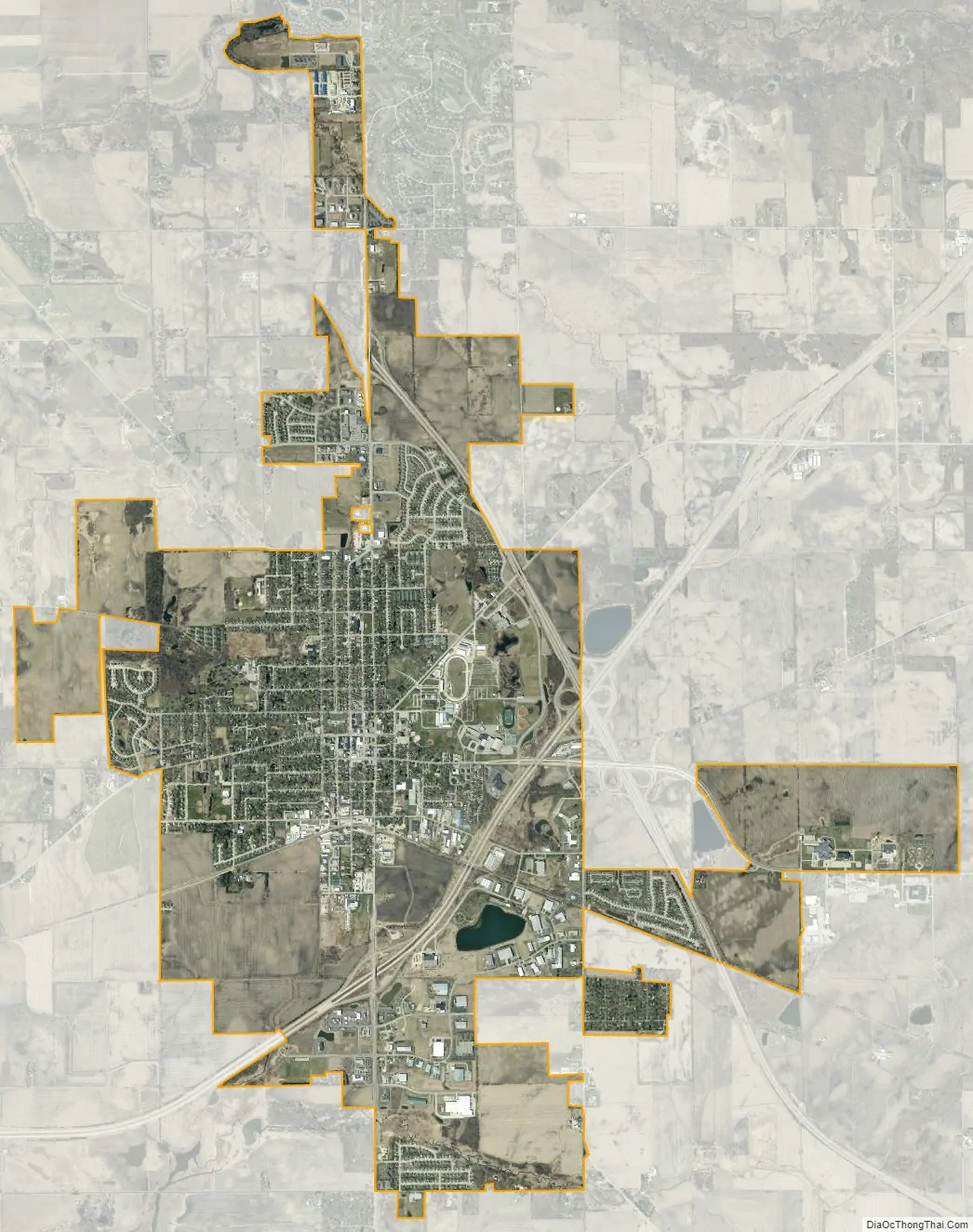
Elkhorn city Satellite Map
Geography
Elkhorn is located at 42°40′22″N 88°32′25″W / 42.67278°N 88.54028°W / 42.67278; -88.54028 (42.672900, −88.540342).
According to the United States Census Bureau, the city has a total area of 7.81 square miles (20.23 km), of which 7.76 square miles (20.10 km) is land and 0.05 square miles (0.13 km) is water.
See also
Map of Wisconsin State and its subdivision:- Adams
- Ashland
- Barron
- Bayfield
- Brown
- Buffalo
- Burnett
- Calumet
- Chippewa
- Clark
- Columbia
- Crawford
- Dane
- Dodge
- Door
- Douglas
- Dunn
- Eau Claire
- Florence
- Fond du Lac
- Forest
- Grant
- Green
- Green Lake
- Iowa
- Iron
- Jackson
- Jefferson
- Juneau
- Kenosha
- Kewaunee
- La Crosse
- Lafayette
- Lake Michigan
- Lake Superior
- Langlade
- Lincoln
- Manitowoc
- Marathon
- Marinette
- Marquette
- Menominee
- Milwaukee
- Monroe
- Oconto
- Oneida
- Outagamie
- Ozaukee
- Pepin
- Pierce
- Polk
- Portage
- Price
- Racine
- Richland
- Rock
- Rusk
- Saint Croix
- Sauk
- Sawyer
- Shawano
- Sheboygan
- Taylor
- Trempealeau
- Vernon
- Vilas
- Walworth
- Washburn
- Washington
- Waukesha
- Waupaca
- Waushara
- Winnebago
- Wood
- Alabama
- Alaska
- Arizona
- Arkansas
- California
- Colorado
- Connecticut
- Delaware
- District of Columbia
- Florida
- Georgia
- Hawaii
- Idaho
- Illinois
- Indiana
- Iowa
- Kansas
- Kentucky
- Louisiana
- Maine
- Maryland
- Massachusetts
- Michigan
- Minnesota
- Mississippi
- Missouri
- Montana
- Nebraska
- Nevada
- New Hampshire
- New Jersey
- New Mexico
- New York
- North Carolina
- North Dakota
- Ohio
- Oklahoma
- Oregon
- Pennsylvania
- Rhode Island
- South Carolina
- South Dakota
- Tennessee
- Texas
- Utah
- Vermont
- Virginia
- Washington
- West Virginia
- Wisconsin
- Wyoming