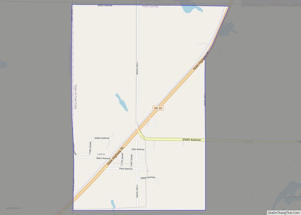
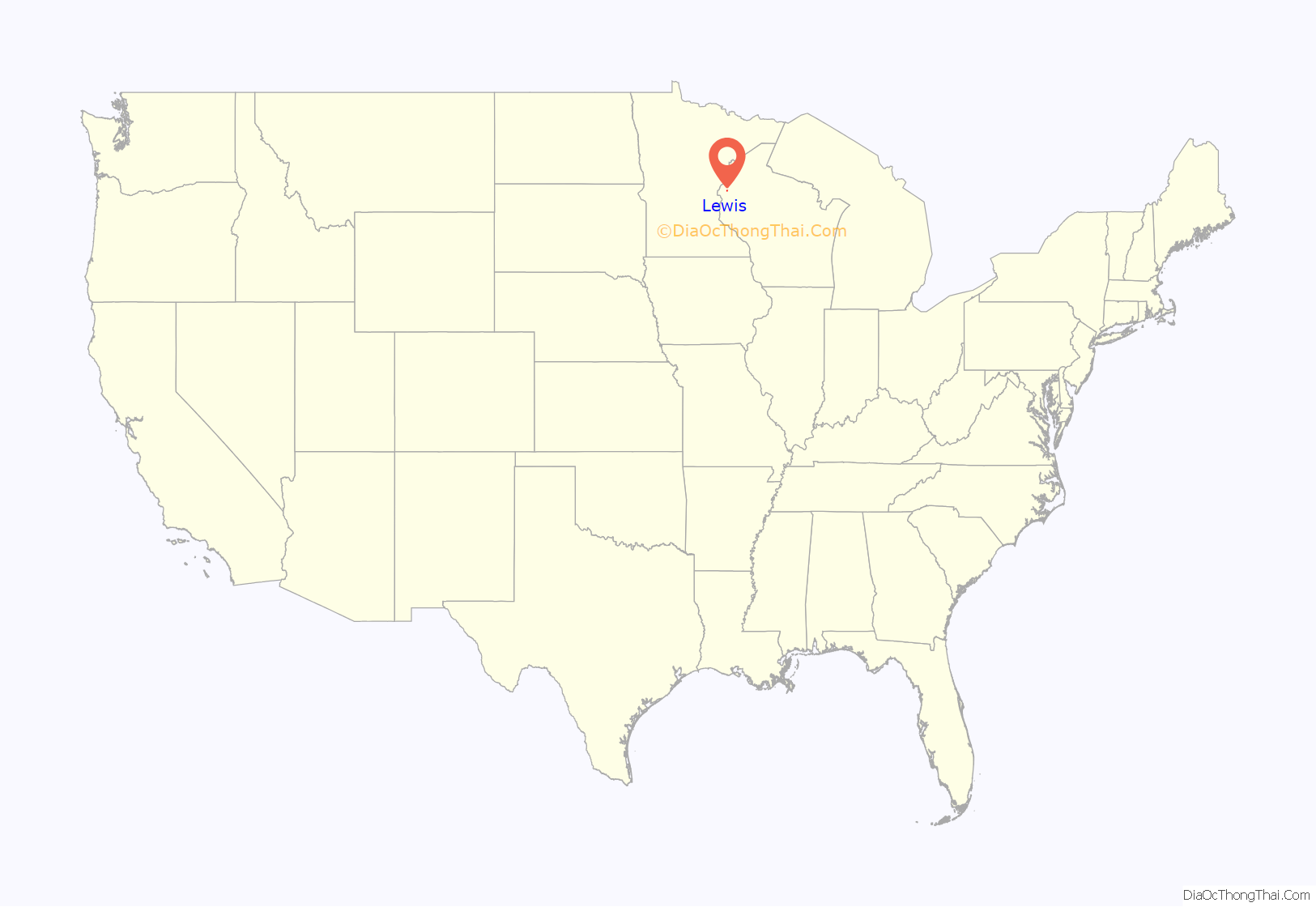
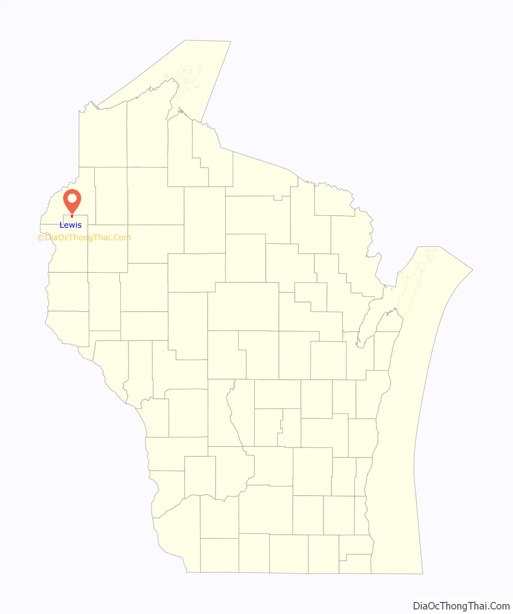
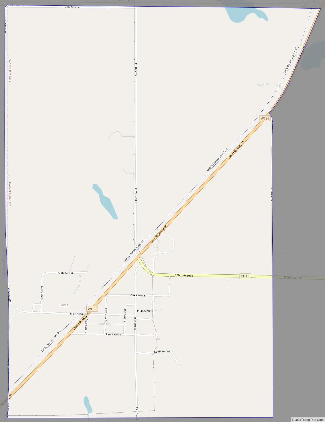
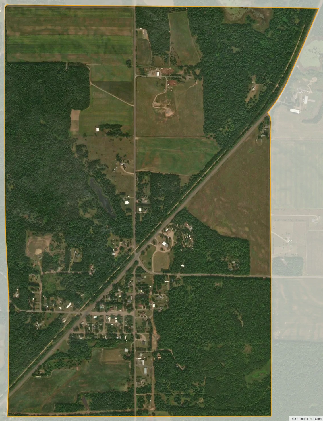
Lewis is an unincorporated census-designated place in the town of Clam Falls, Polk County, Wisconsin, United States. Lewis is located on Wisconsin Highway 35 4.5 miles (7.2 km) northeast of Frederic. As of the 2010 census, its population is 164.
| Name: | Lewis CDP |
|---|---|
| LSAD Code: | 57 |
| LSAD Description: | CDP (suffix) |
| State: | Wisconsin |
| County: | Polk County |
| Elevation: | 1,050 ft (320 m) |
| Total Area: | 1.460 sq mi (3.78 km²) |
| Land Area: | 1.454 sq mi (3.77 km²) |
| Water Area: | 0.006 sq mi (0.02 km²) |
| Total Population: | 164 |
| Population Density: | 110/sq mi (43/km²) |
| Area code: | 715 & 534 |
| FIPS code: | 5543725 |
| GNISfeature ID: | 1567997 |
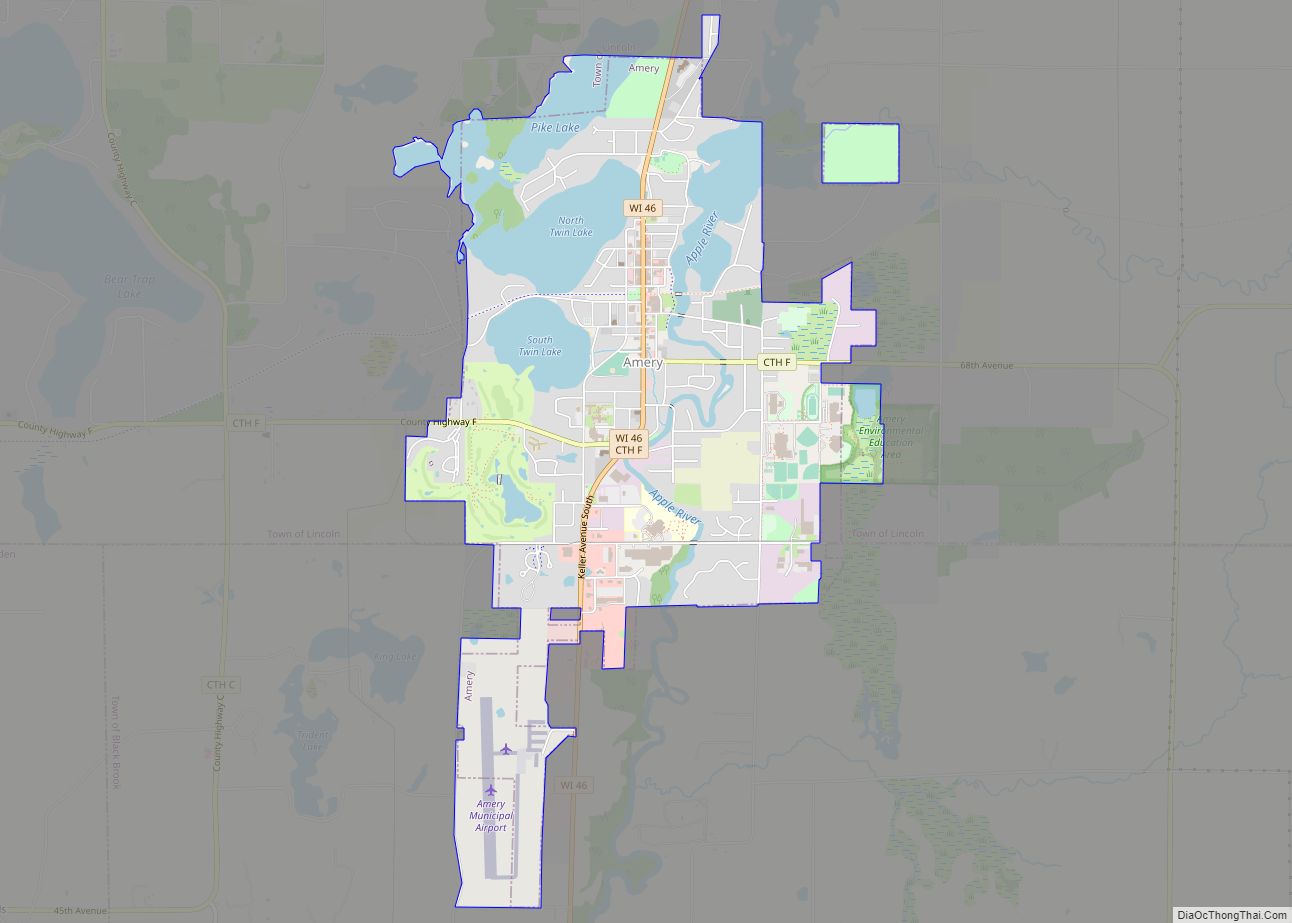
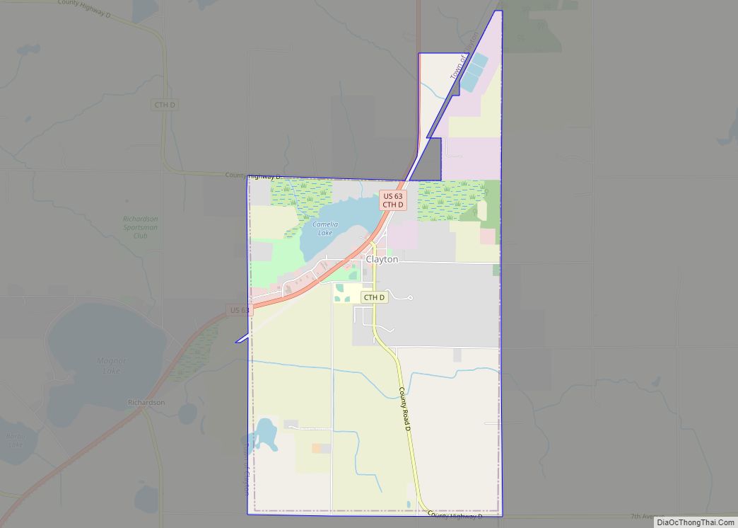
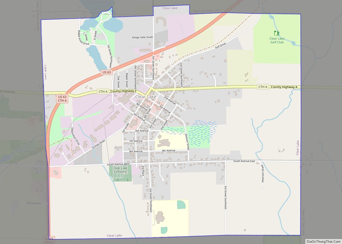
Online Interactive Map
Click on ![]() to view map in "full screen" mode.
to view map in "full screen" mode.
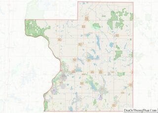
Lewis location map. Where is Lewis CDP?
History
The town is named for founder Charles E. Lewis, a Minnesota wheat broker who purchased a large tract of land in Clam Falls Township around the turn of the 20th century. His personal estate, “Seven Pines Lodge”, attracted several prominent guests throughout the 1920s, including President Calvin Coolidge, and is maintained as a private resort complex to this day. Knapp Creek, the abutting stream once referred to as “[a] trout preserve which is second to none in this country”, continues to be classified as a Class I trout stream. However, much of the stream runs through private property and is not accessible as a public fishery. Like many in the area, the town has seen steady decline in population and economic base since the demise of the logging and railroad industries.
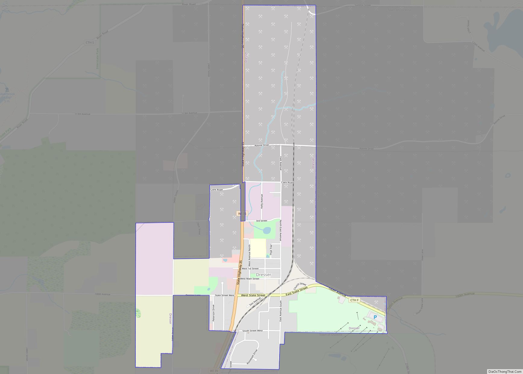
Lewis Road Map
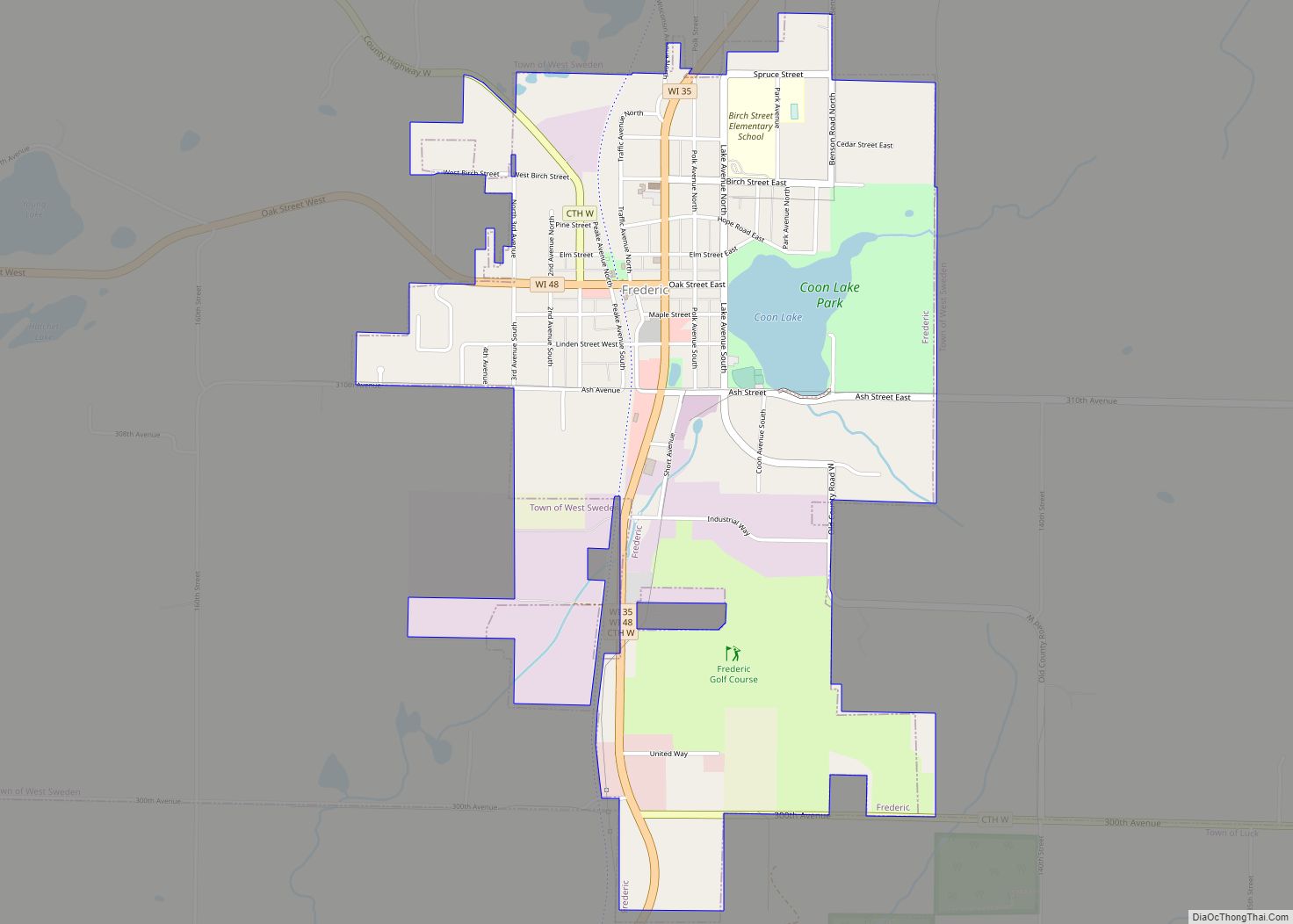
Lewis city Satellite Map
See also
Map of Wisconsin State and its subdivision:- Adams
- Ashland
- Barron
- Bayfield
- Brown
- Buffalo
- Burnett
- Calumet
- Chippewa
- Clark
- Columbia
- Crawford
- Dane
- Dodge
- Door
- Douglas
- Dunn
- Eau Claire
- Florence
- Fond du Lac
- Forest
- Grant
- Green
- Green Lake
- Iowa
- Iron
- Jackson
- Jefferson
- Juneau
- Kenosha
- Kewaunee
- La Crosse
- Lafayette
- Lake Michigan
- Lake Superior
- Langlade
- Lincoln
- Manitowoc
- Marathon
- Marinette
- Marquette
- Menominee
- Milwaukee
- Monroe
- Oconto
- Oneida
- Outagamie
- Ozaukee
- Pepin
- Pierce
- Polk
- Portage
- Price
- Racine
- Richland
- Rock
- Rusk
- Saint Croix
- Sauk
- Sawyer
- Shawano
- Sheboygan
- Taylor
- Trempealeau
- Vernon
- Vilas
- Walworth
- Washburn
- Washington
- Waukesha
- Waupaca
- Waushara
- Winnebago
- Wood
- Alabama
- Alaska
- Arizona
- Arkansas
- California
- Colorado
- Connecticut
- Delaware
- District of Columbia
- Florida
- Georgia
- Hawaii
- Idaho
- Illinois
- Indiana
- Iowa
- Kansas
- Kentucky
- Louisiana
- Maine
- Maryland
- Massachusetts
- Michigan
- Minnesota
- Mississippi
- Missouri
- Montana
- Nebraska
- Nevada
- New Hampshire
- New Jersey
- New Mexico
- New York
- North Carolina
- North Dakota
- Ohio
- Oklahoma
- Oregon
- Pennsylvania
- Rhode Island
- South Carolina
- South Dakota
- Tennessee
- Texas
- Utah
- Vermont
- Virginia
- Washington
- West Virginia
- Wisconsin
- Wyoming