Livingston is a village in Grant and Iowa Counties in the U.S. state of Wisconsin. The population was 664 at the 2010 census. Of this, 657 were in Grant County, and only 7 were in Iowa County.
The Iowa County portion of Livingston is part of the Madison Metropolitan Statistical Area, while the Grant County portion is part of the Platteville Micropolitan Statistical Area.
| Name: | Livingston village |
|---|---|
| LSAD Code: | 47 |
| LSAD Description: | village (suffix) |
| State: | Wisconsin |
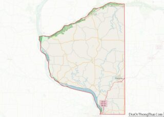
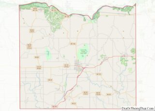
| County: | Grant County, Iowa County |
| Elevation: | 1,152 ft (351 m) |
| Total Area: | 1.04 sq mi (2.69 km²) |
| Land Area: | 1.04 sq mi (2.69 km²) |
| Water Area: | 0.00 sq mi (0.00 km²) |
| Total Population: | 664 |
| Population Density: | 609.62/sq mi (235.47/km²) |
| Area code: | 608 |
| FIPS code: | 5545325 |
| GNISfeature ID: | 1568470 |
| Website: | http://livingstonvillage.webs.com |
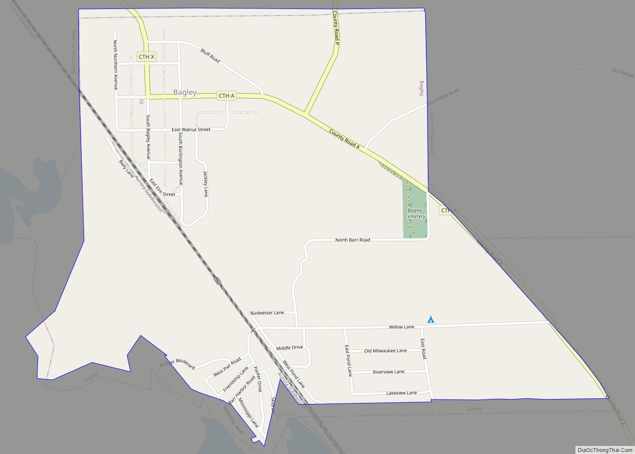
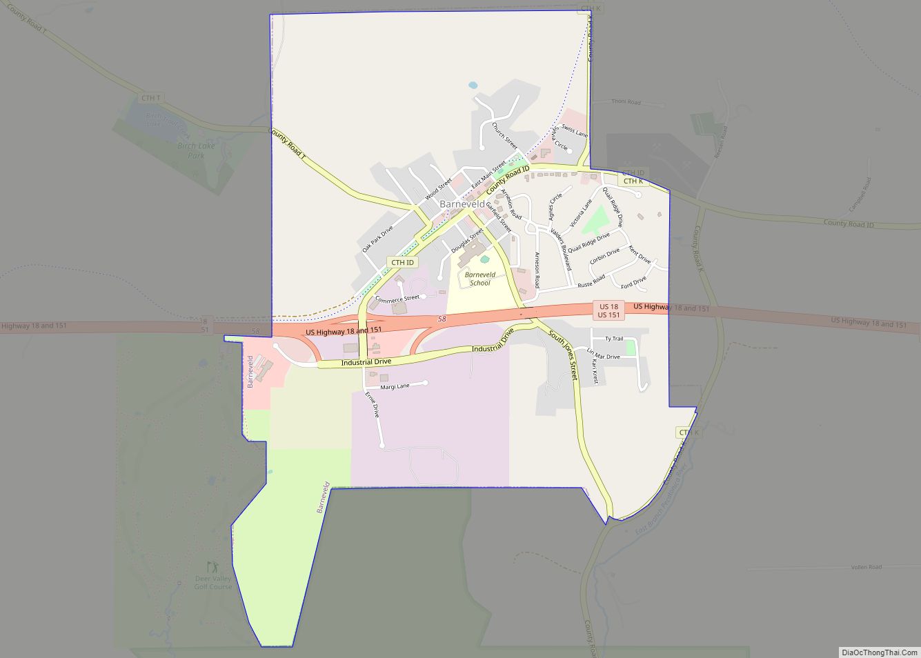
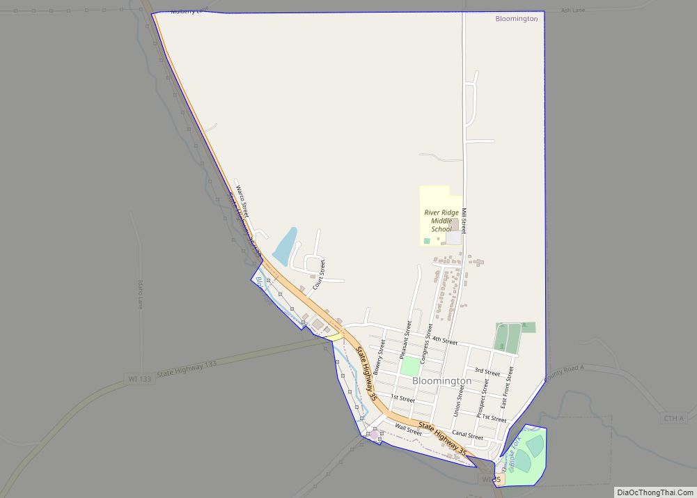
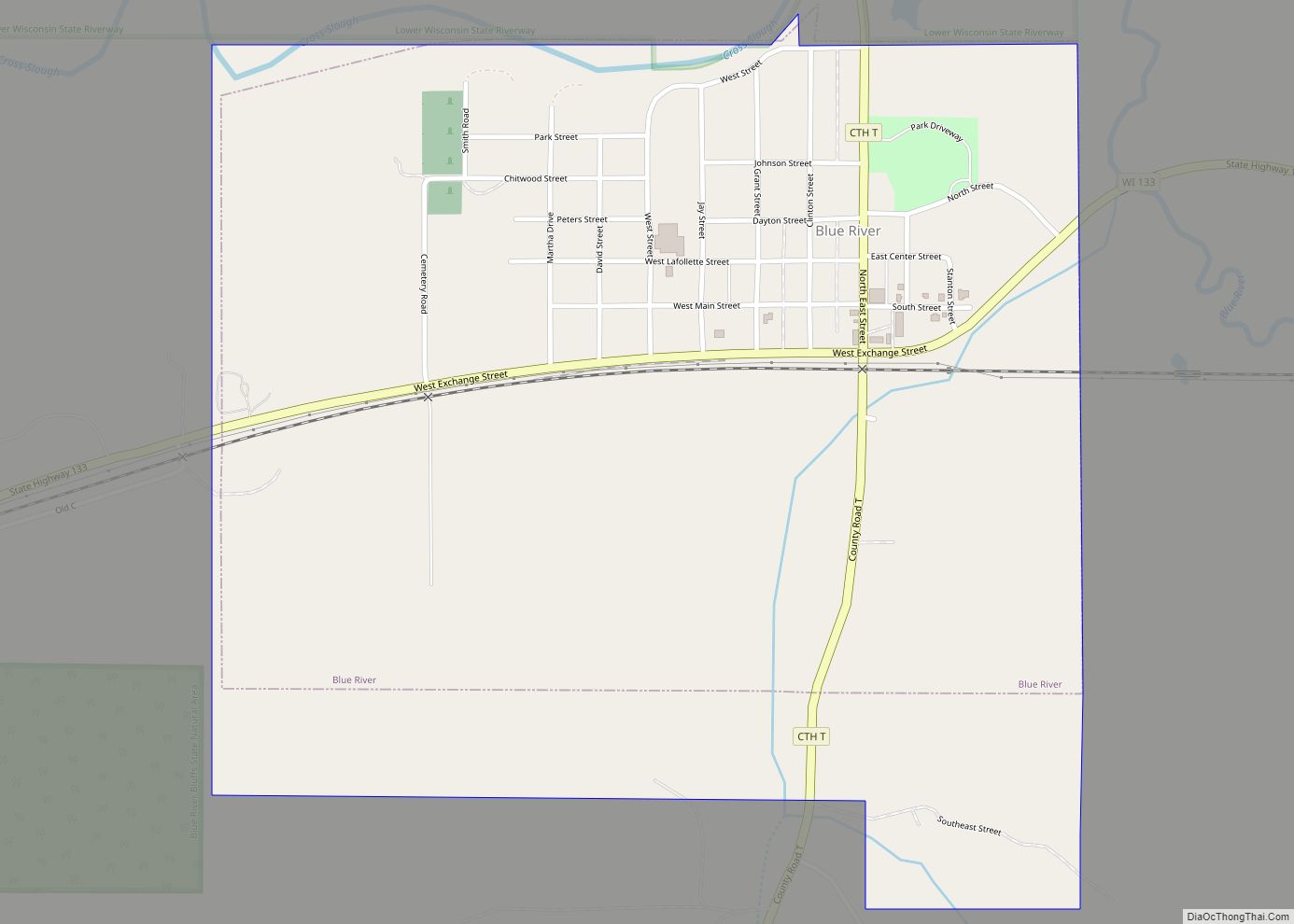
Online Interactive Map
Click on ![]() to view map in "full screen" mode.
to view map in "full screen" mode.
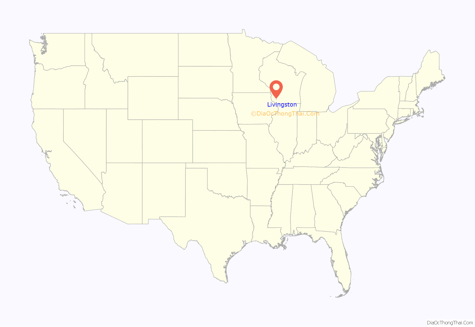
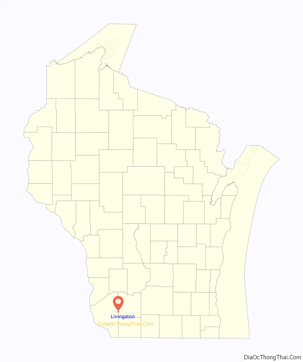
Livingston location map. Where is Livingston village?
History
A post office called Livingston has been in operation since 1880. The village was named for Hugh Livingston, the original owner of the town site.
A meteorite fell to the Earth near and in the village on April 14, 2010, following a spectacular bolide and aerial explosion seen over much of the midwestern United States.
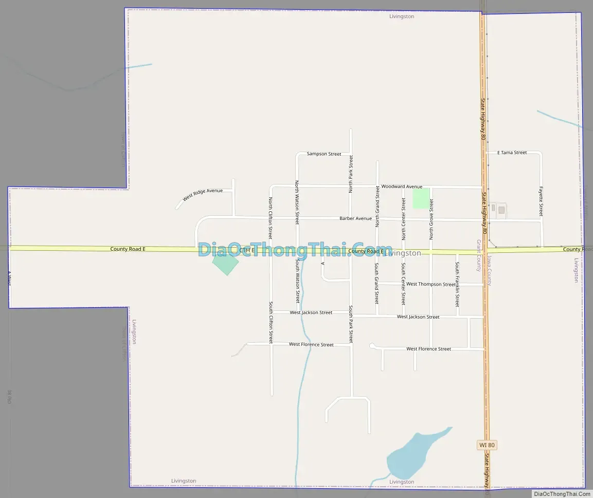
Livingston Road Map
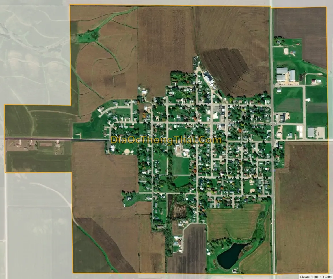
Livingston city Satellite Map
Geography
Livingston is located at 42°54′3″N 90°25′54″W / 42.90083°N 90.43167°W / 42.90083; -90.43167 (42.900713, -90.431649).
According to the United States Census Bureau, the village has a total area of 1.02 square miles (2.64 km), all of it land.
See also
Map of Wisconsin State and its subdivision:- Adams
- Ashland
- Barron
- Bayfield
- Brown
- Buffalo
- Burnett
- Calumet
- Chippewa
- Clark
- Columbia
- Crawford
- Dane
- Dodge
- Door
- Douglas
- Dunn
- Eau Claire
- Florence
- Fond du Lac
- Forest
- Grant
- Green
- Green Lake
- Iowa
- Iron
- Jackson
- Jefferson
- Juneau
- Kenosha
- Kewaunee
- La Crosse
- Lafayette
- Lake Michigan
- Lake Superior
- Langlade
- Lincoln
- Manitowoc
- Marathon
- Marinette
- Marquette
- Menominee
- Milwaukee
- Monroe
- Oconto
- Oneida
- Outagamie
- Ozaukee
- Pepin
- Pierce
- Polk
- Portage
- Price
- Racine
- Richland
- Rock
- Rusk
- Saint Croix
- Sauk
- Sawyer
- Shawano
- Sheboygan
- Taylor
- Trempealeau
- Vernon
- Vilas
- Walworth
- Washburn
- Washington
- Waukesha
- Waupaca
- Waushara
- Winnebago
- Wood
- Alabama
- Alaska
- Arizona
- Arkansas
- California
- Colorado
- Connecticut
- Delaware
- District of Columbia
- Florida
- Georgia
- Hawaii
- Idaho
- Illinois
- Indiana
- Iowa
- Kansas
- Kentucky
- Louisiana
- Maine
- Maryland
- Massachusetts
- Michigan
- Minnesota
- Mississippi
- Missouri
- Montana
- Nebraska
- Nevada
- New Hampshire
- New Jersey
- New Mexico
- New York
- North Carolina
- North Dakota
- Ohio
- Oklahoma
- Oregon
- Pennsylvania
- Rhode Island
- South Carolina
- South Dakota
- Tennessee
- Texas
- Utah
- Vermont
- Virginia
- Washington
- West Virginia
- Wisconsin
- Wyoming