Marshall is a village in Dane County, Wisconsin, United States, along the Maunesha River. The population was 3,862 at the 2010 census. It is part of the Madison Metropolitan Statistical Area.
| Name: | Marshall village |
|---|---|
| LSAD Code: | 47 |
| LSAD Description: | village (suffix) |
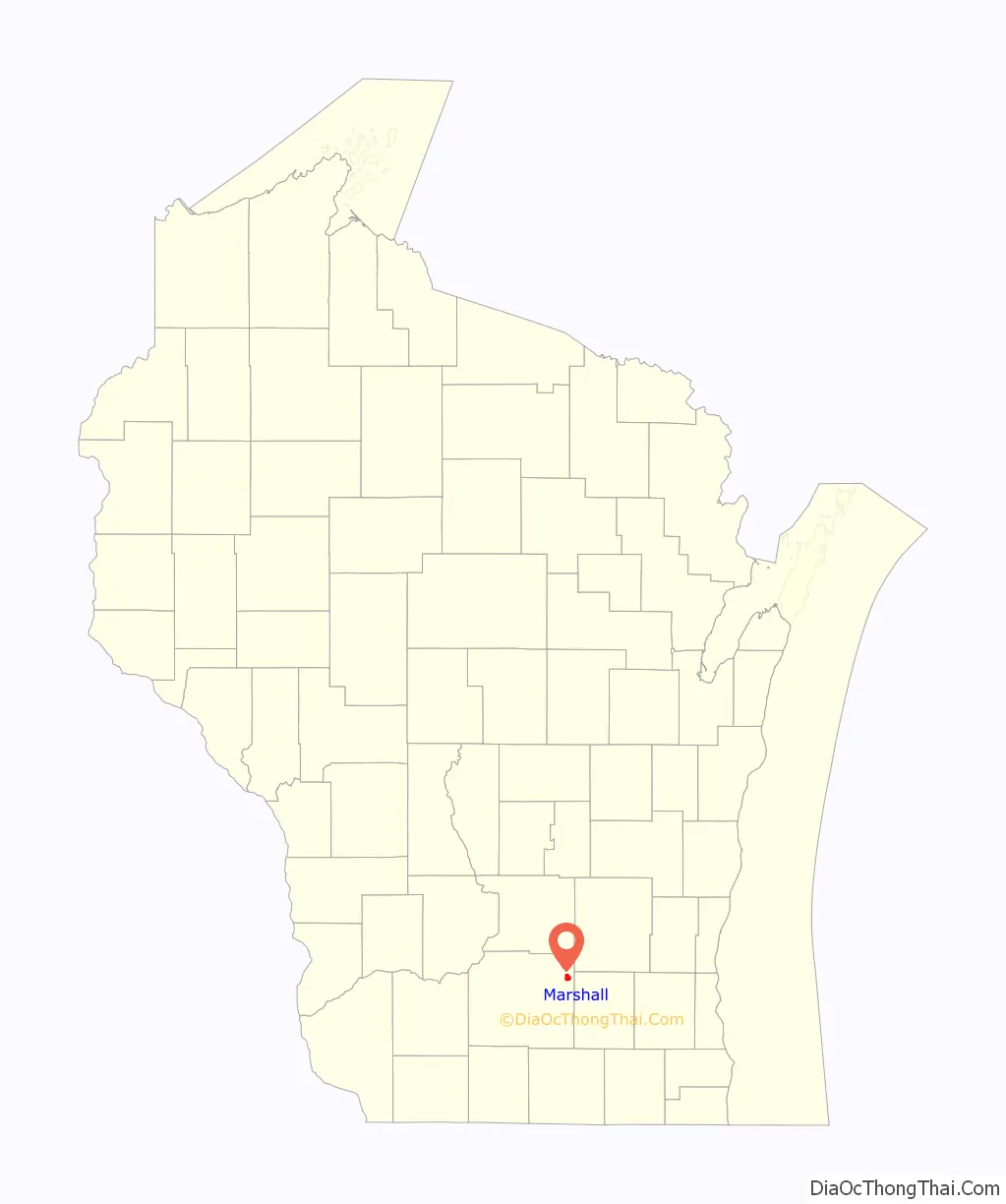
| State: | Wisconsin |
| County: | Dane County |
| Total Area: | 2.29 sq mi (5.93 km²) |
| Land Area: | 2.13 sq mi (5.50 km²) |
| Water Area: | 0.17 sq mi (0.43 km²) |
| Total Population: | 3,862 |
| Population Density: | 1,874.82/sq mi (723.99/km²) |
| ZIP code: | 53559 |
| Area code: | 608 |
| FIPS code: | 5549575 |
| GNISfeature ID: | 1583662 |
| Website: | marshall-wi.com |
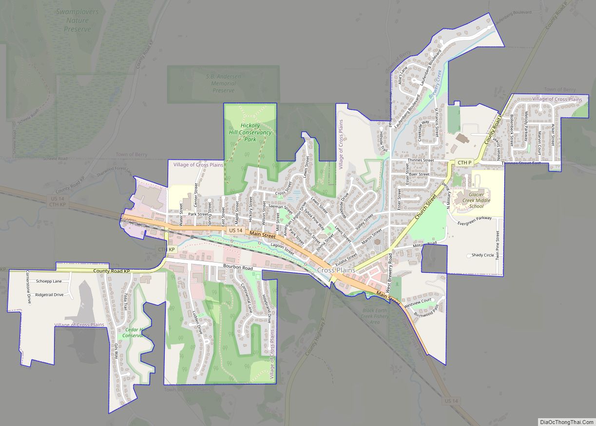
Online Interactive Map
Click on ![]() to view map in "full screen" mode.
to view map in "full screen" mode.
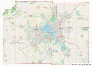
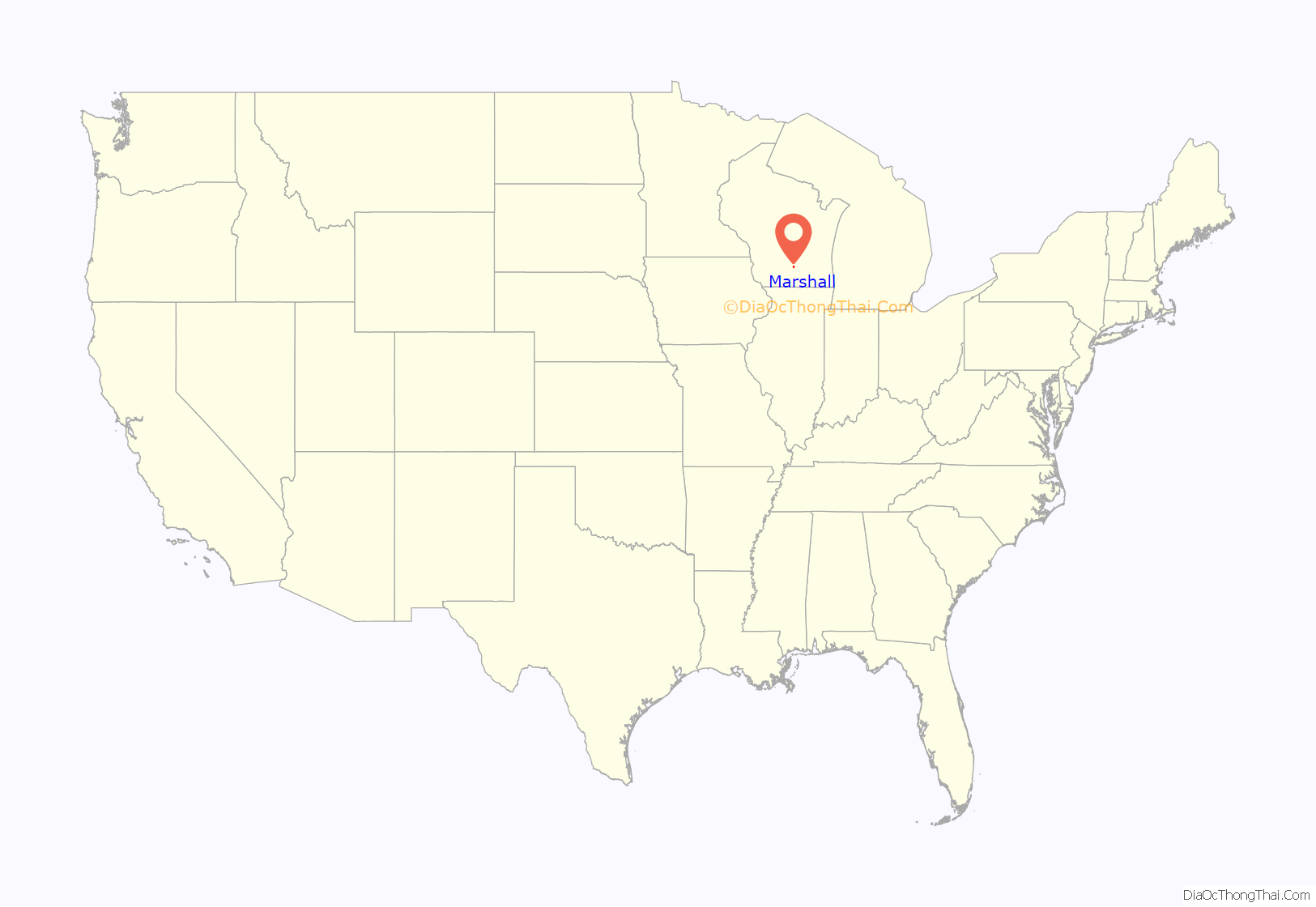
Marshall location map. Where is Marshall village?
History
In June 1837, Andrew Bird, Zenas Bird and Aaron Petrie began a settlement along the banks of the Maunesha River. In the fall of 1838, a fire destroyed the settlement. For more than a decade after that the area was known as Bird’s Ruins. In 1849, Bird’s Ruins became Hanchettville to recognize Asahel Hanchett for luring several needed businesses to the village. Railway officials located a depot of the new Milwaukee to Madison rail line in Hanchettville, and the village residents renamed Hanchettville to Howard City after one of the leading railway promoters. Howard City did not prosper, so Asahel Hanchett sold his land holdings to Madison real estate brokers William F. Porter and Samuel Marshall in 1860. This included the grist mill created by Ansel Hanchett in 1852 which Marshall renamed “Marshall’s Roller Mill.” Marshall was the original home of what became Augsburg University from its opening in September 1869 to its move to Minneapolis, Minnesota in 1872.
The settlement was then renamed after Samuel Marshall in 1861. Samuel Marshall founded Marshall & Ilsley Corporation (M&I) Bank in Madison in 1853. The Porter family moved from Madison to make their home in Marshall in 1860, and William F. Porter left in 1865 for Massachusetts, leaving his share of the property to his son William Henry Porter. Marshall was officially incorporated as a village on January 24, 1905 and had a population of 467. In 1908, the mill it was sold to the Blaschka family, and today it operates under its present name, the “Blaschka Milling Co.” The mill, an important centerpiece of Marshall history, celebrated its sesquicentennial of continuous operation in 2002.
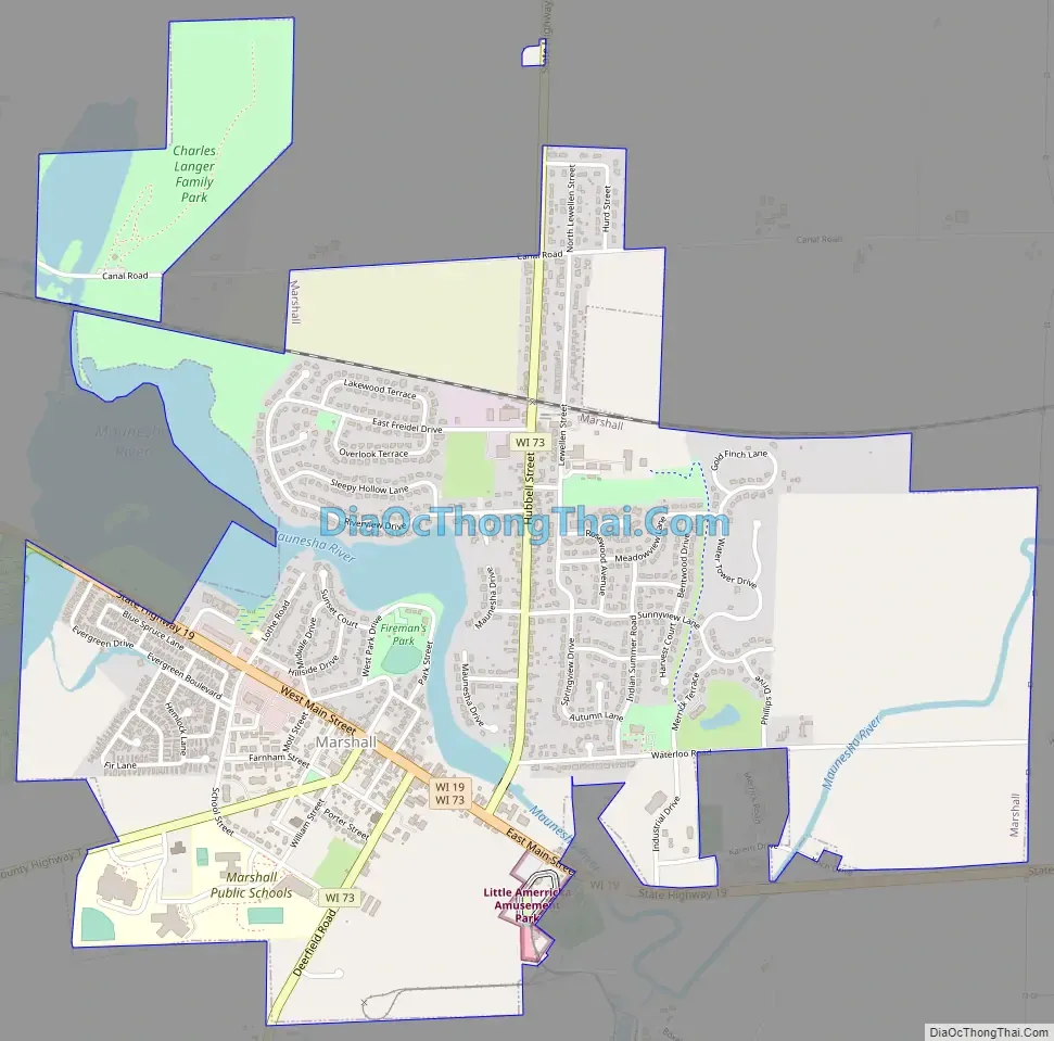
Marshall Road Map
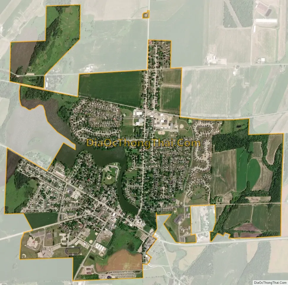
Marshall city Satellite Map
Geography
Marshall is located at 43°10′16″N 89°3′53″W / 43.17111°N 89.06472°W / 43.17111; -89.06472 (43.171084, -89.064714). A significant geographical feature of Marshall is the mill pond and dam, originally created to power the feed mill, although no longer used for that purpose. This impoundment of the Maunesha River provides water sports and recreation at a variety of local parks; Riley-Deppe County Park, Fireman’s Park, and Lion’s Park.
See also
Map of Wisconsin State and its subdivision:- Adams
- Ashland
- Barron
- Bayfield
- Brown
- Buffalo
- Burnett
- Calumet
- Chippewa
- Clark
- Columbia
- Crawford
- Dane
- Dodge
- Door
- Douglas
- Dunn
- Eau Claire
- Florence
- Fond du Lac
- Forest
- Grant
- Green
- Green Lake
- Iowa
- Iron
- Jackson
- Jefferson
- Juneau
- Kenosha
- Kewaunee
- La Crosse
- Lafayette
- Lake Michigan
- Lake Superior
- Langlade
- Lincoln
- Manitowoc
- Marathon
- Marinette
- Marquette
- Menominee
- Milwaukee
- Monroe
- Oconto
- Oneida
- Outagamie
- Ozaukee
- Pepin
- Pierce
- Polk
- Portage
- Price
- Racine
- Richland
- Rock
- Rusk
- Saint Croix
- Sauk
- Sawyer
- Shawano
- Sheboygan
- Taylor
- Trempealeau
- Vernon
- Vilas
- Walworth
- Washburn
- Washington
- Waukesha
- Waupaca
- Waushara
- Winnebago
- Wood
- Alabama
- Alaska
- Arizona
- Arkansas
- California
- Colorado
- Connecticut
- Delaware
- District of Columbia
- Florida
- Georgia
- Hawaii
- Idaho
- Illinois
- Indiana
- Iowa
- Kansas
- Kentucky
- Louisiana
- Maine
- Maryland
- Massachusetts
- Michigan
- Minnesota
- Mississippi
- Missouri
- Montana
- Nebraska
- Nevada
- New Hampshire
- New Jersey
- New Mexico
- New York
- North Carolina
- North Dakota
- Ohio
- Oklahoma
- Oregon
- Pennsylvania
- Rhode Island
- South Carolina
- South Dakota
- Tennessee
- Texas
- Utah
- Vermont
- Virginia
- Washington
- West Virginia
- Wisconsin
- Wyoming