McFarland is a village in Dane County, Wisconsin, situated on the shores of Lake Waubesa to the southeast of Madison. As of the 2020 U.S. Census, the village has a population of 8,991. Spanning just under 5 square miles in land area and encompassing roughly 43.50 miles of roads, McFarland is part of the Madison Metropolitan Statistical Area.
In McFarland, U.S. Route 51 serves as the primary artery, linking the town to the cities of Madison and Stoughton. The village’s postal code is 53558. McFarland holds the distinction of being the tenth most populous city in Dane County, following Madison.
| Name: | McFarland village |
|---|---|
| LSAD Code: | 47 |
| LSAD Description: | village (suffix) |
| State: | Wisconsin |
| County: | Dane County |
| Elevation: | 869 ft (265 m) |
| Total Area: | 4.77 sq mi (12.34 km²) |
| Land Area: | 4.76 sq mi (12.33 km²) |
| Water Area: | 0.01 sq mi (0.02 km²) |
| Total Population: | 8,991 |
| Population Density: | 1,897.67/sq mi (732.64/km²) |
| Area code: | 608 |
| FIPS code: | 5546850 |
| GNISfeature ID: | 1569214 |
| Website: | mcfarland.wi.us |
Online Interactive Map
Click on ![]() to view map in "full screen" mode.
to view map in "full screen" mode.
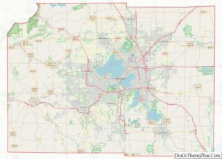
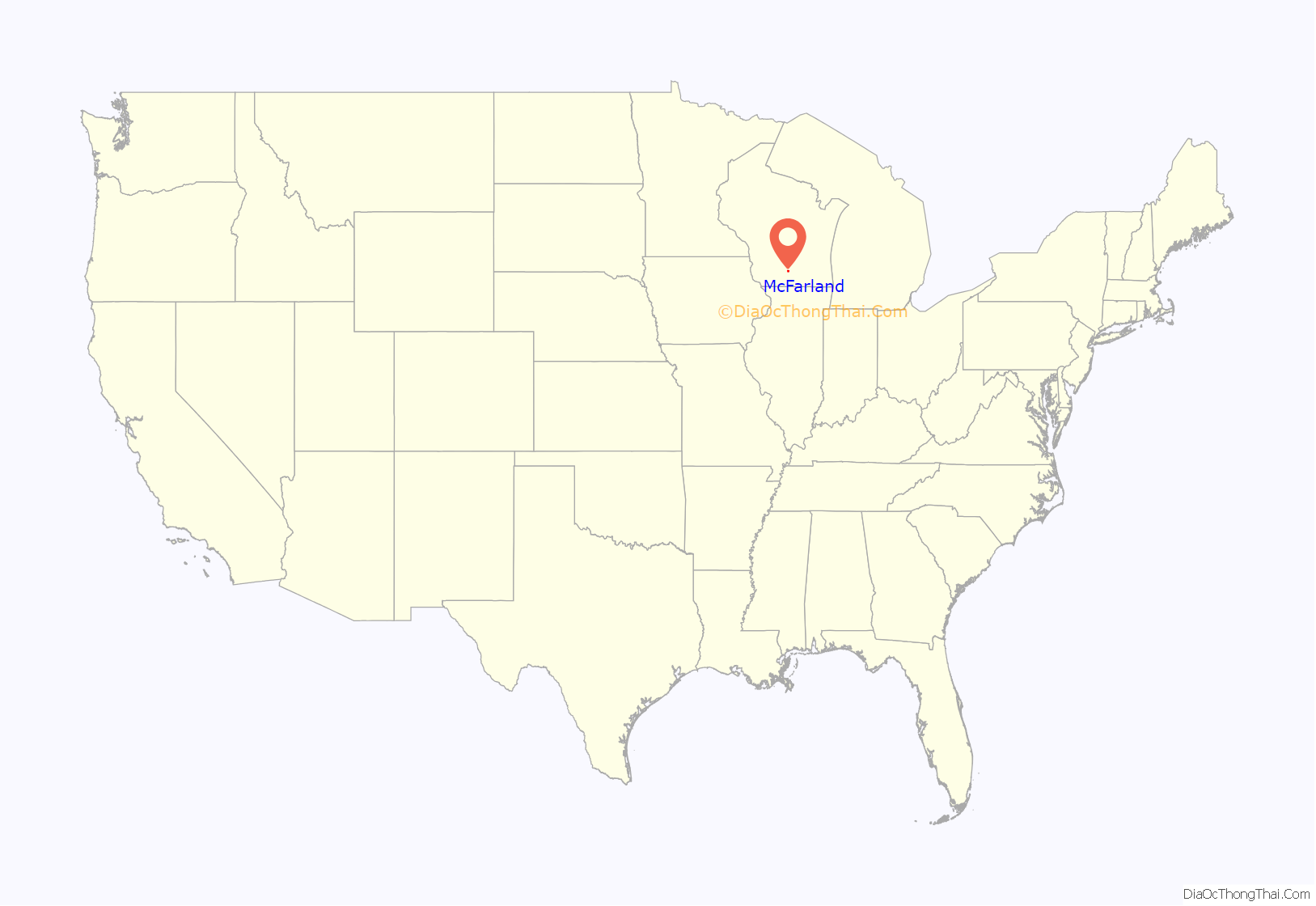
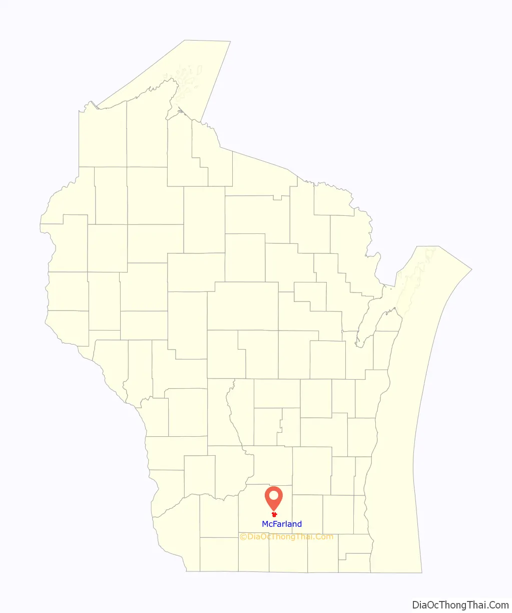
McFarland location map. Where is McFarland village?
History
The Village of McFarland boasts several burial mounds from the Woodland period, collectively known as the Lewis Mound Group, located within Indian Mound Park.
Established in 1856 by William H. McFarland, the village’s early industries included wheat and tobacco farming, ice and fish harvesting from the nearby Lake Waubesa for rail transportation to Chicago markets. A modest resort industry eventually emerged along the eastern shore of Lake Waubesa, featuring attractions such as Edwards Park and Larson’s Beach. Following World War II, McFarland evolved into a residential community for Madison. In the late 1950s, the village annexed the newly-built petroleum tank farms to the north, bolstering its tax base and enabling the McFarland School District to finance a new high school. Commuting to McFarland became significantly more convenient in 1989 with the completion of a major highway project on the adjacent Madison Beltline, sparking rapid residential growth.
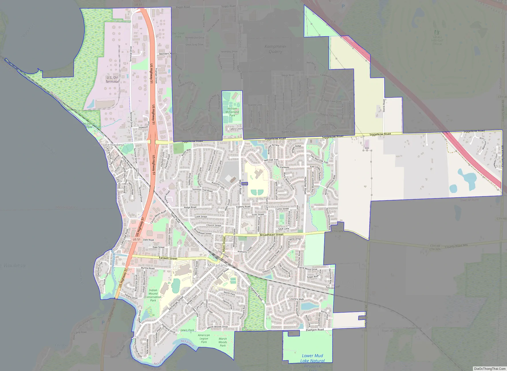
McFarland Road Map
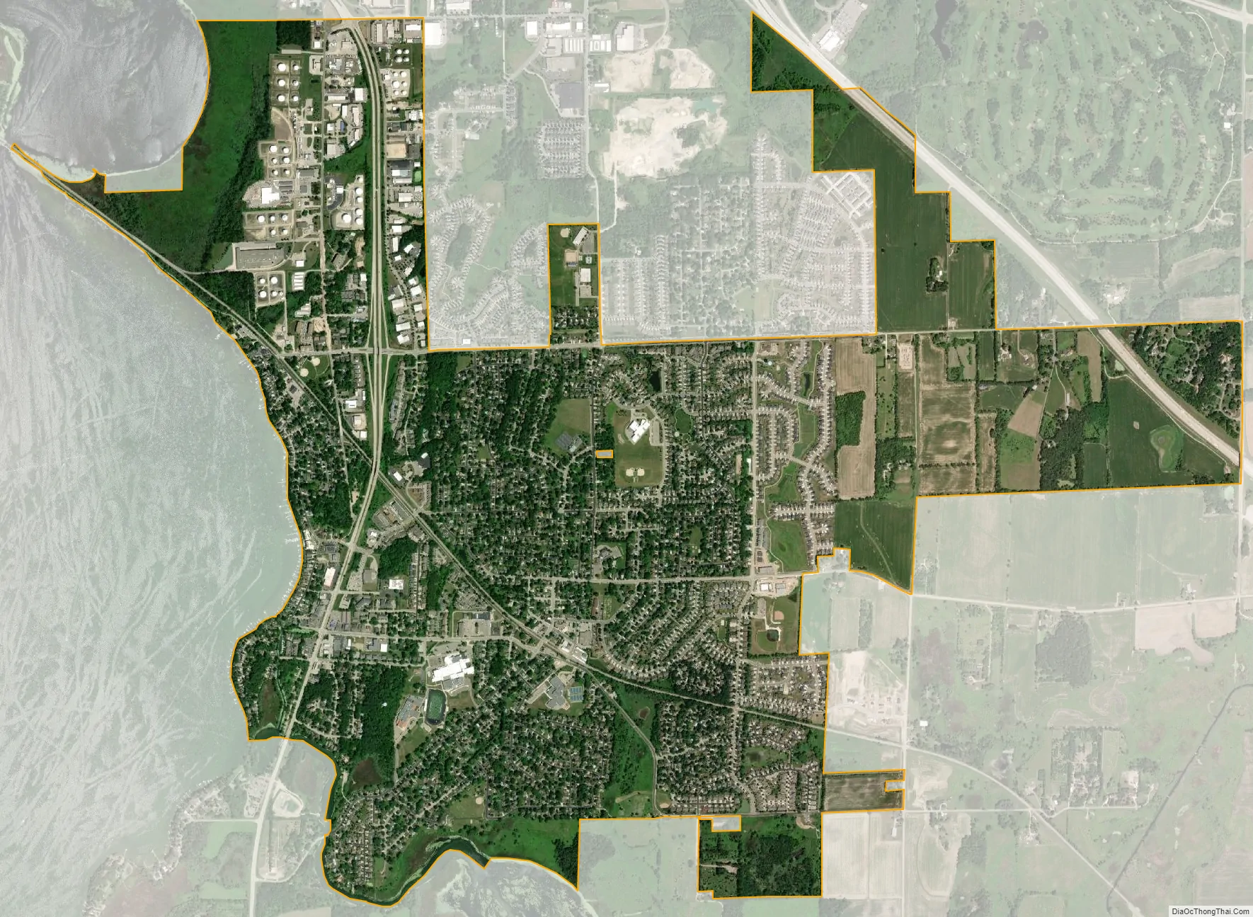
McFarland city Satellite Map
Geography
McFarland is located at 43°1′7″N 89°17′28″W / 43.01861°N 89.29111°W / 43.01861; -89.29111 (43.018480, -89.291116).
According to the United States Census Bureau, the village has a total area of 3.55 square miles (9.19 km), all of its land. It is bordered by Lake Waubesa to the west and Mud Lake to the south.
Time zone
As in the rest of the state of Wisconsin, McFarland forms part of the Central Time Zone.
See also
Map of Wisconsin State and its subdivision:- Adams
- Ashland
- Barron
- Bayfield
- Brown
- Buffalo
- Burnett
- Calumet
- Chippewa
- Clark
- Columbia
- Crawford
- Dane
- Dodge
- Door
- Douglas
- Dunn
- Eau Claire
- Florence
- Fond du Lac
- Forest
- Grant
- Green
- Green Lake
- Iowa
- Iron
- Jackson
- Jefferson
- Juneau
- Kenosha
- Kewaunee
- La Crosse
- Lafayette
- Lake Michigan
- Lake Superior
- Langlade
- Lincoln
- Manitowoc
- Marathon
- Marinette
- Marquette
- Menominee
- Milwaukee
- Monroe
- Oconto
- Oneida
- Outagamie
- Ozaukee
- Pepin
- Pierce
- Polk
- Portage
- Price
- Racine
- Richland
- Rock
- Rusk
- Saint Croix
- Sauk
- Sawyer
- Shawano
- Sheboygan
- Taylor
- Trempealeau
- Vernon
- Vilas
- Walworth
- Washburn
- Washington
- Waukesha
- Waupaca
- Waushara
- Winnebago
- Wood
- Alabama
- Alaska
- Arizona
- Arkansas
- California
- Colorado
- Connecticut
- Delaware
- District of Columbia
- Florida
- Georgia
- Hawaii
- Idaho
- Illinois
- Indiana
- Iowa
- Kansas
- Kentucky
- Louisiana
- Maine
- Maryland
- Massachusetts
- Michigan
- Minnesota
- Mississippi
- Missouri
- Montana
- Nebraska
- Nevada
- New Hampshire
- New Jersey
- New Mexico
- New York
- North Carolina
- North Dakota
- Ohio
- Oklahoma
- Oregon
- Pennsylvania
- Rhode Island
- South Carolina
- South Dakota
- Tennessee
- Texas
- Utah
- Vermont
- Virginia
- Washington
- West Virginia
- Wisconsin
- Wyoming