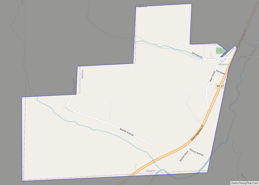
Melvina is a village in Monroe County, Wisconsin, United States. The population was 93 at the 2020 census.
| Name: | Melvina village |
|---|---|
| LSAD Code: | 47 |
| LSAD Description: | village (suffix) |
| State: | Wisconsin |
| County: | Monroe County |
| Elevation: | 863 ft (263 m) |
| Total Area: | 0.49 sq mi (1.26 km²) |
| Land Area: | 0.49 sq mi (1.26 km²) |
| Water Area: | 0.00 sq mi (0.00 km²) |
| Total Population: | 93 |
| Population Density: | 226.34/sq mi (87.48/km²) |
| Area code: | 608 |
| FIPS code: | 5550800 |
| GNISfeature ID: | 1569329 |
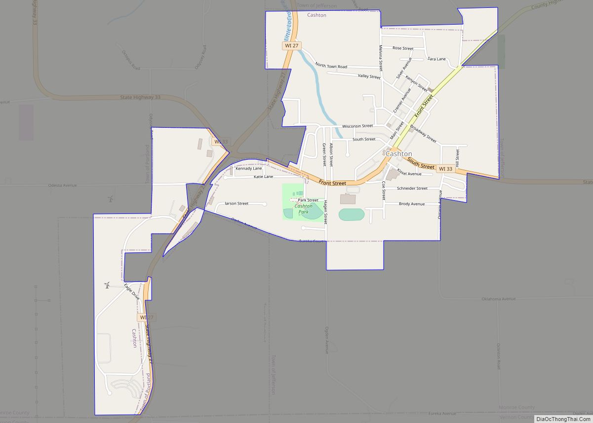
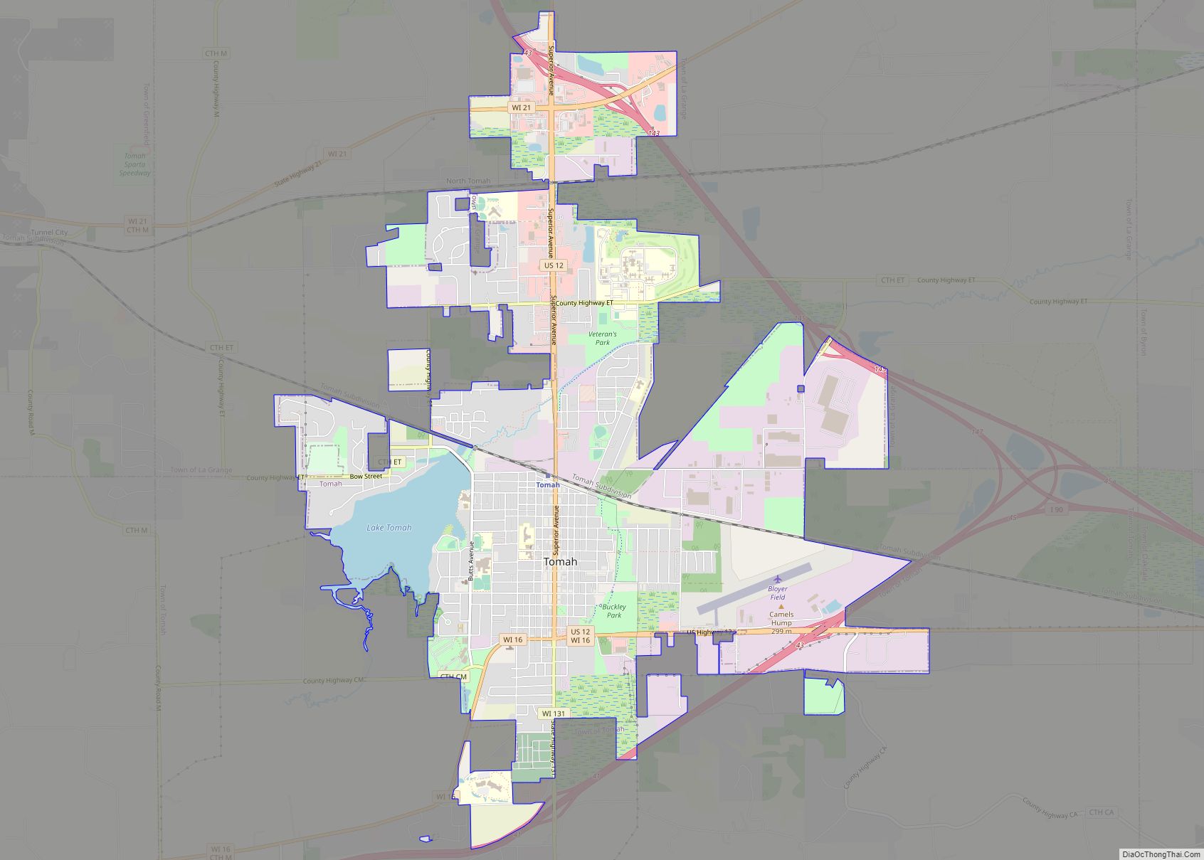
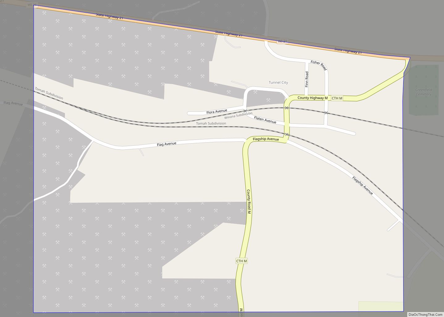
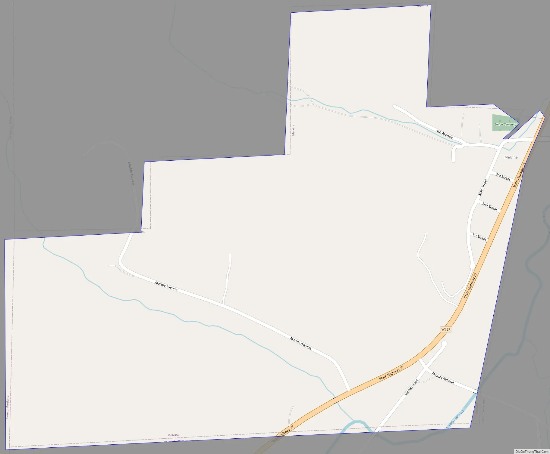
Online Interactive Map
Click on ![]() to view map in "full screen" mode.
to view map in "full screen" mode.
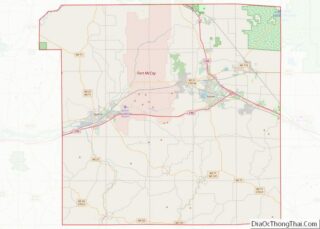
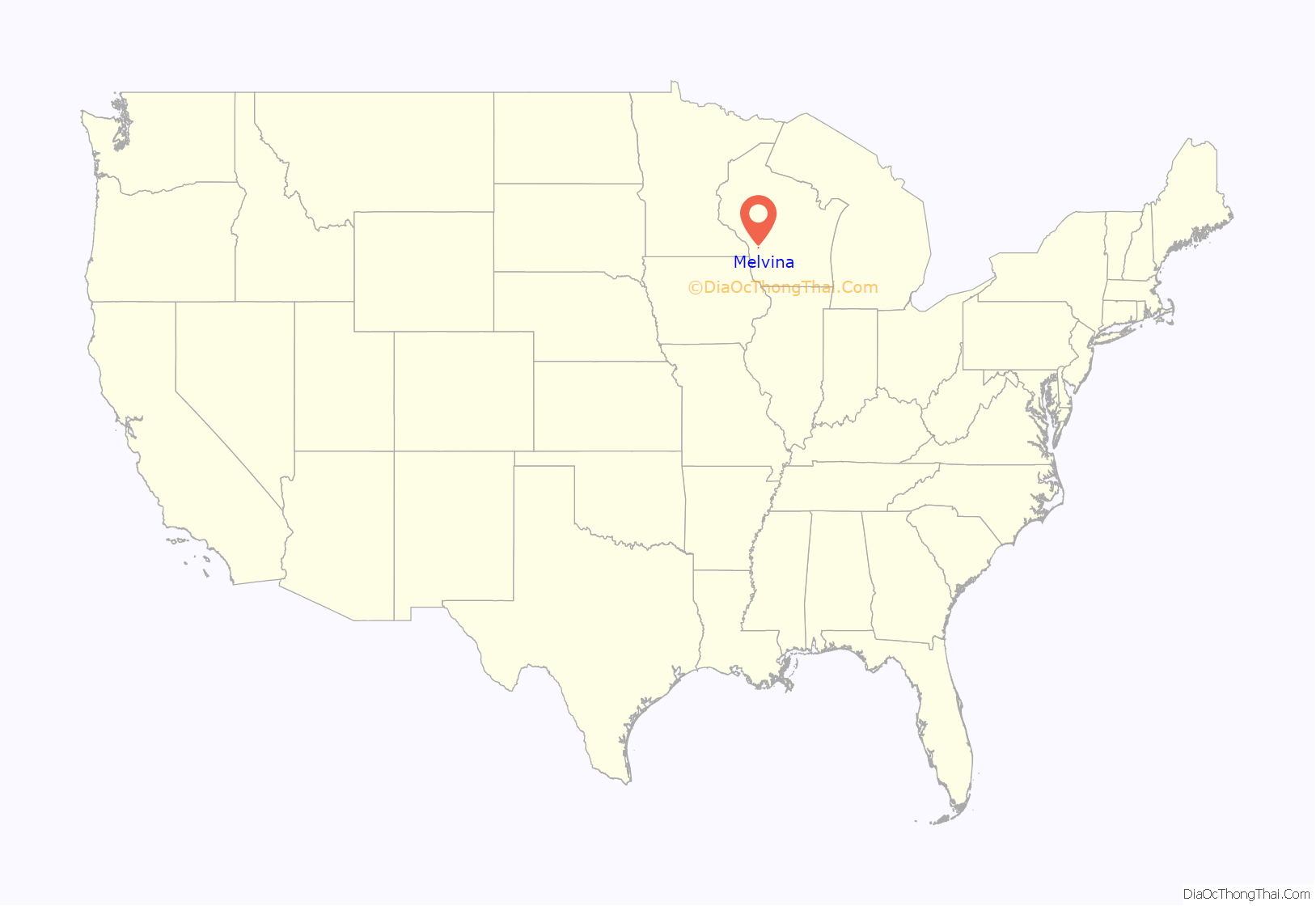
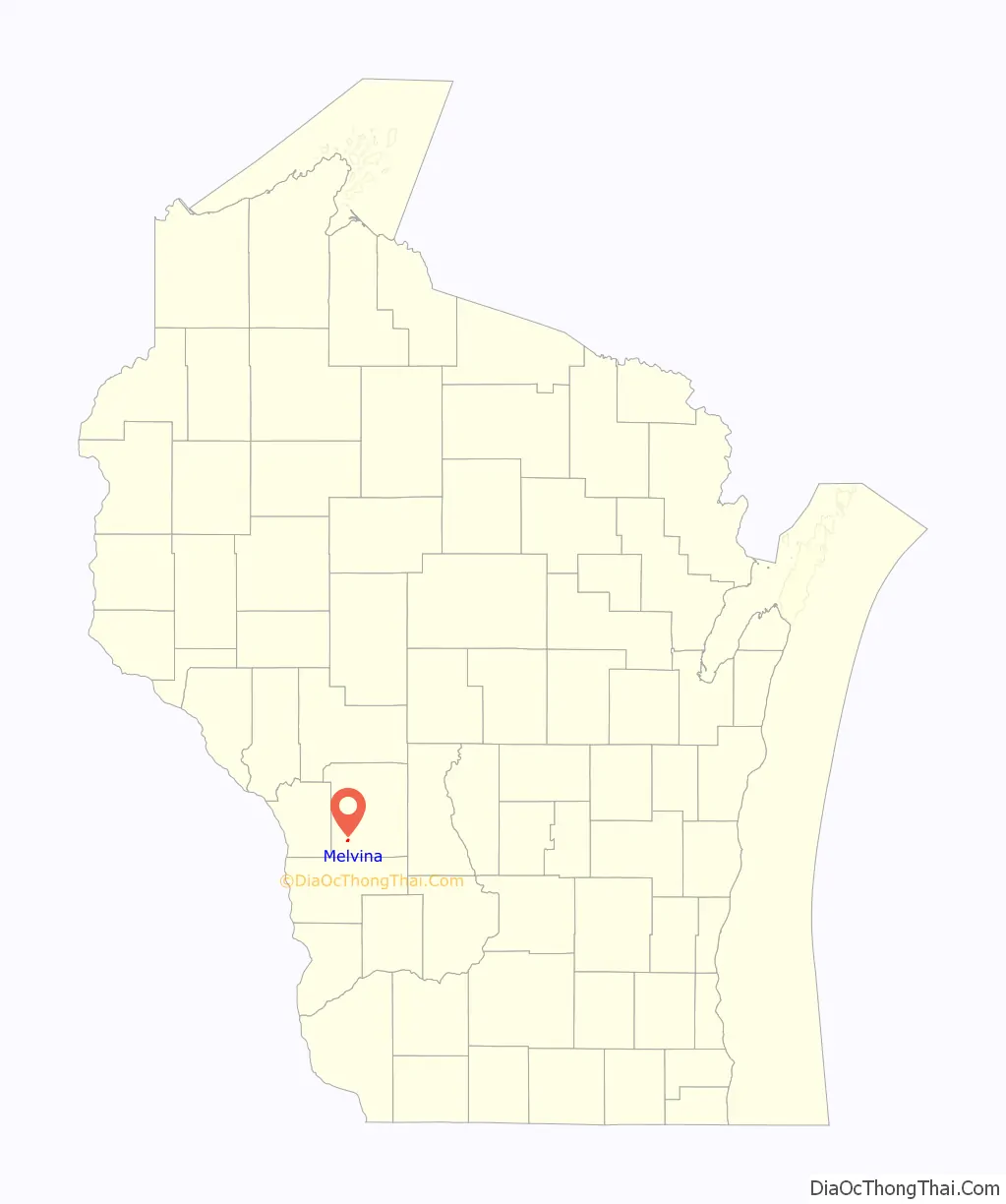
Melvina location map. Where is Melvina village?
History
The story of Melvina began when Vernon County miller Charles A. Hunt returned from the Civil War and sold all his interests in that county. He used the funds to buy 300 acres of land in Monroe County, including the present site of the village of Melvina. He built a mill at that site and persuaded other families to come and settle there. He named the settlement “Melvina” after his recently deceased wife, Amanda Melvina Hunt (née Ray).
Melvina Road Map
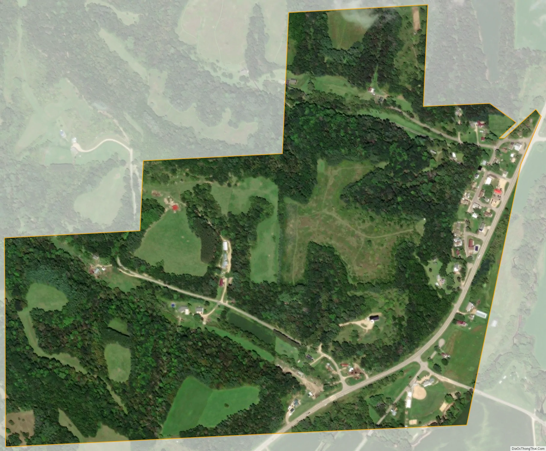
Melvina city Satellite Map
Geography
Melvina is located at 43°48′6″N 90°46′31″W / 43.80167°N 90.77528°W / 43.80167; -90.77528 (43.801747, -90.775267).
According to the United States Census Bureau, the village has a total area of 0.48 square miles (1.24 km), all of it land.
See also
Map of Wisconsin State and its subdivision:- Adams
- Ashland
- Barron
- Bayfield
- Brown
- Buffalo
- Burnett
- Calumet
- Chippewa
- Clark
- Columbia
- Crawford
- Dane
- Dodge
- Door
- Douglas
- Dunn
- Eau Claire
- Florence
- Fond du Lac
- Forest
- Grant
- Green
- Green Lake
- Iowa
- Iron
- Jackson
- Jefferson
- Juneau
- Kenosha
- Kewaunee
- La Crosse
- Lafayette
- Lake Michigan
- Lake Superior
- Langlade
- Lincoln
- Manitowoc
- Marathon
- Marinette
- Marquette
- Menominee
- Milwaukee
- Monroe
- Oconto
- Oneida
- Outagamie
- Ozaukee
- Pepin
- Pierce
- Polk
- Portage
- Price
- Racine
- Richland
- Rock
- Rusk
- Saint Croix
- Sauk
- Sawyer
- Shawano
- Sheboygan
- Taylor
- Trempealeau
- Vernon
- Vilas
- Walworth
- Washburn
- Washington
- Waukesha
- Waupaca
- Waushara
- Winnebago
- Wood
- Alabama
- Alaska
- Arizona
- Arkansas
- California
- Colorado
- Connecticut
- Delaware
- District of Columbia
- Florida
- Georgia
- Hawaii
- Idaho
- Illinois
- Indiana
- Iowa
- Kansas
- Kentucky
- Louisiana
- Maine
- Maryland
- Massachusetts
- Michigan
- Minnesota
- Mississippi
- Missouri
- Montana
- Nebraska
- Nevada
- New Hampshire
- New Jersey
- New Mexico
- New York
- North Carolina
- North Dakota
- Ohio
- Oklahoma
- Oregon
- Pennsylvania
- Rhode Island
- South Carolina
- South Dakota
- Tennessee
- Texas
- Utah
- Vermont
- Virginia
- Washington
- West Virginia
- Wisconsin
- Wyoming