Tomah is a city in Monroe County, Wisconsin, United States. The population was 9,570 as of the 2020 census. The city is surrounded by the Town of Tomah and the Town of La Grange.
| Name: | Tomah city |
|---|---|
| LSAD Code: | 25 |
| LSAD Description: | city (suffix) |
| State: | Wisconsin |
| County: | Monroe County |
| Total Area: | 8.26 sq mi (21.39 km²) |
| Land Area: | 7.84 sq mi (20.30 km²) |
| Water Area: | 0.42 sq mi (1.10 km²) |
| Total Population: | 9,570 |
| Population Density: | 1,221.1/sq mi (471.5/km²) |
| ZIP code: | 54660 |
| Area code: | 608 |
| FIPS code: | 5580075 |
| Website: | www.tomahonline.com |
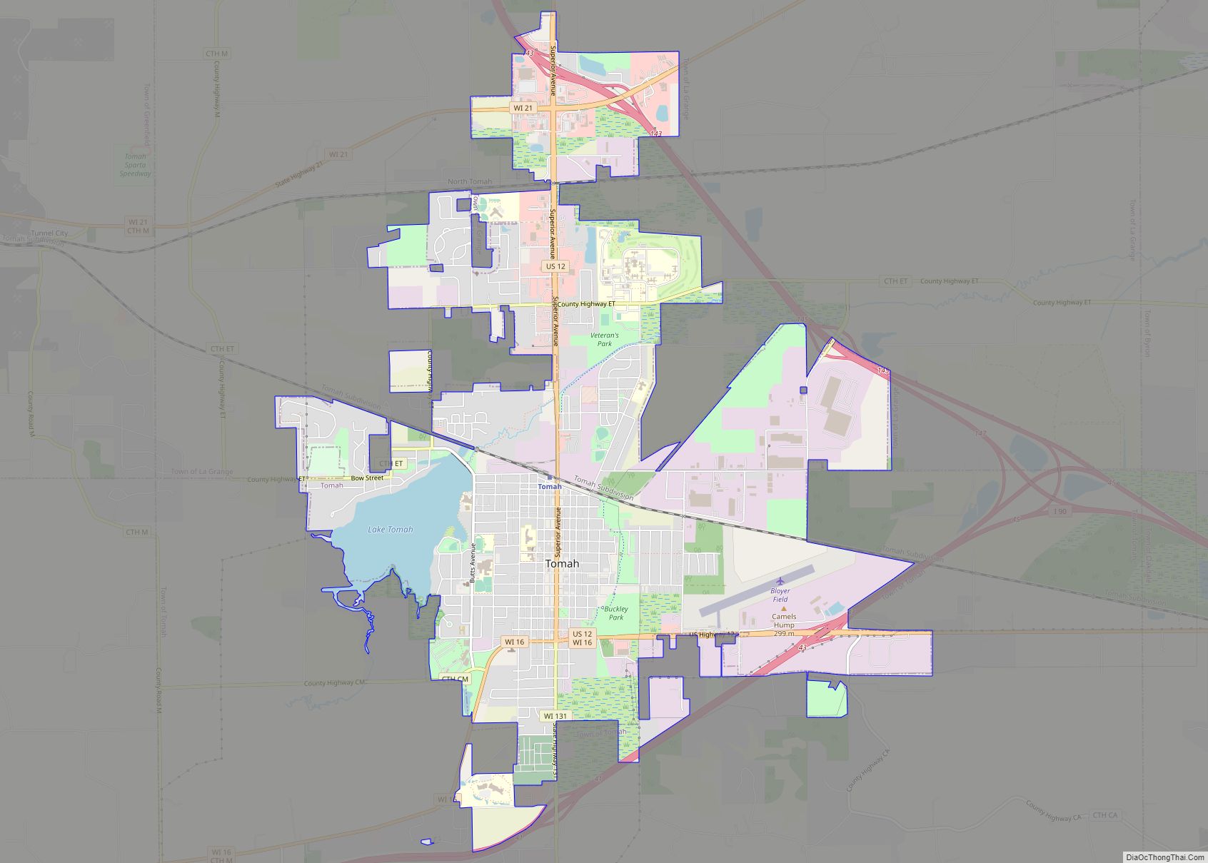
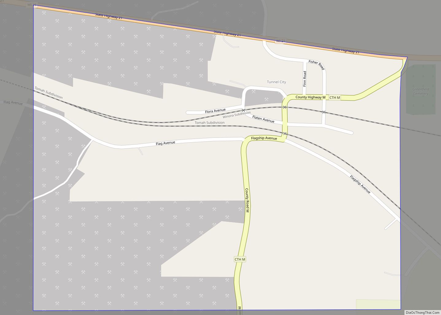
Online Interactive Map
Click on ![]() to view map in "full screen" mode.
to view map in "full screen" mode.
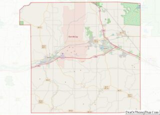
Tomah location map. Where is Tomah city?


History
Tomah was founded by Robert E. Gillett in 1855 and incorporated as a city in 1883, but the charter was not issued until 1894. It is named after Thomas Carron (ca. 1752–1817), a trader at Green Bay who had integrated into the Menominee tribe. The Menominees pronounced the name Tomah or Tomau and he became known as Chief Tomah. Tomah was adopted as the name for the settlement in Monroe County on the unsubstantiated belief that Chief Tomah had once held a tribal gathering in the area.
In 1891, construction began in Tomah for a Native American residential school funded by the federal government. The Tomah Indian Industrial School opened in 1893 with six Ho-Chunk children as its first students and would become the most significant residential school in Wisconsin. The curriculum was designed to assimilate students into white American culture by replacing their indigenous education with Christian, English-language education. Children were forcibly removed from their families and sent to the school from as far away as North Dakota and Oklahoma. The school operated until 1941.
Tomah has three landmarks on the National Register of Historic Places: the old Tomah Post Office at 903 Superior Avenue, the Tomah Public Library at 716 Superior Avenue, and the Tomah Boy Scout Cabin at 415 E. Council Street.
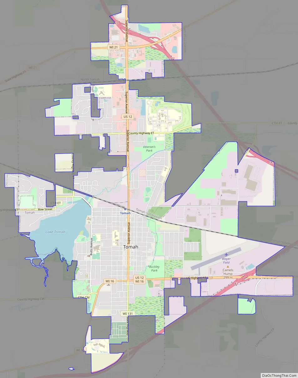
Tomah Road Map
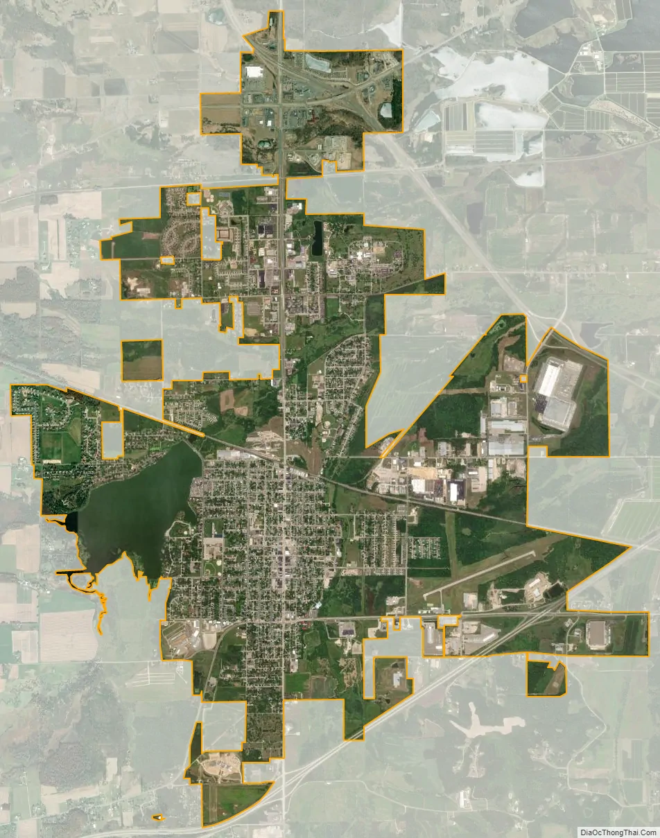
Tomah city Satellite Map
Geography
Tomah is located on the South Fork of the Lemonweir River, a main tributary of the Lemonweir River, which is a large tributary of the lower Wisconsin River. The river is impounded on the west side of the city, forming Lake Tomah. Council Creek flows north through the east side of the city to meet the river.
The city is at the boundary between the hills of the Driftless Area in southwest Wisconsin and the flat, sandy, poorly drained ancient bed of Glacial Lake Wisconsin extending to the north and east of the city. The city’s geographic coordinates are 43°59′6″N 90°30′14″W / 43.98500°N 90.50389°W / 43.98500; -90.50389 (43.985089, -90.503922).
According to the United States Census Bureau, the city has a total area of 7.86 square miles (20.36 km), of which, 7.46 square miles (19.32 km) is land and 0.40 square miles (1.04 km) is water.
See also
Map of Wisconsin State and its subdivision:- Adams
- Ashland
- Barron
- Bayfield
- Brown
- Buffalo
- Burnett
- Calumet
- Chippewa
- Clark
- Columbia
- Crawford
- Dane
- Dodge
- Door
- Douglas
- Dunn
- Eau Claire
- Florence
- Fond du Lac
- Forest
- Grant
- Green
- Green Lake
- Iowa
- Iron
- Jackson
- Jefferson
- Juneau
- Kenosha
- Kewaunee
- La Crosse
- Lafayette
- Lake Michigan
- Lake Superior
- Langlade
- Lincoln
- Manitowoc
- Marathon
- Marinette
- Marquette
- Menominee
- Milwaukee
- Monroe
- Oconto
- Oneida
- Outagamie
- Ozaukee
- Pepin
- Pierce
- Polk
- Portage
- Price
- Racine
- Richland
- Rock
- Rusk
- Saint Croix
- Sauk
- Sawyer
- Shawano
- Sheboygan
- Taylor
- Trempealeau
- Vernon
- Vilas
- Walworth
- Washburn
- Washington
- Waukesha
- Waupaca
- Waushara
- Winnebago
- Wood
- Alabama
- Alaska
- Arizona
- Arkansas
- California
- Colorado
- Connecticut
- Delaware
- District of Columbia
- Florida
- Georgia
- Hawaii
- Idaho
- Illinois
- Indiana
- Iowa
- Kansas
- Kentucky
- Louisiana
- Maine
- Maryland
- Massachusetts
- Michigan
- Minnesota
- Mississippi
- Missouri
- Montana
- Nebraska
- Nevada
- New Hampshire
- New Jersey
- New Mexico
- New York
- North Carolina
- North Dakota
- Ohio
- Oklahoma
- Oregon
- Pennsylvania
- Rhode Island
- South Carolina
- South Dakota
- Tennessee
- Texas
- Utah
- Vermont
- Virginia
- Washington
- West Virginia
- Wisconsin
- Wyoming