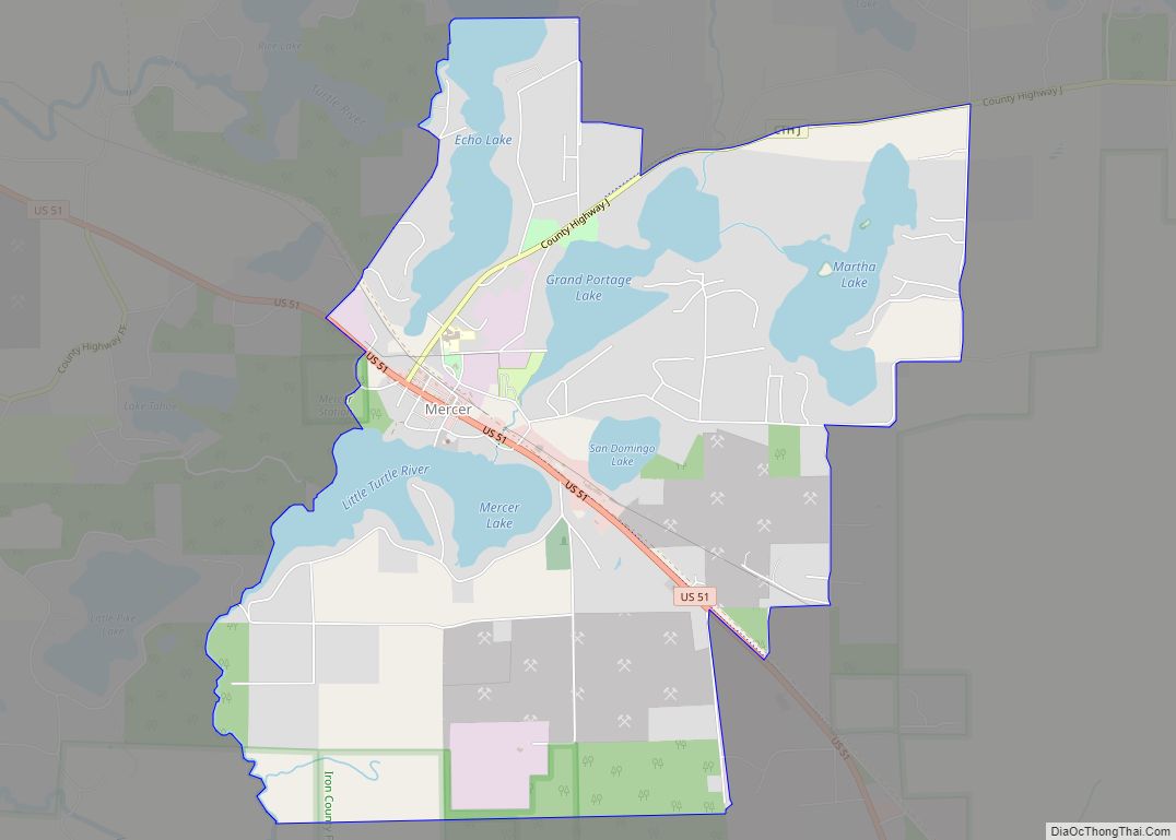
Mercer is an unincorporated census-designated place located in the town of Mercer, Iron County, Wisconsin, United States. Mercer is located on US Highway 51 (US 51) 20.5 miles (33.0 km) south-southeast of Hurley. Mercer has a post office with ZIP code 54547. As of the 2010 census, its population is 516.
Mercer identifies itself as the “Loon Capital of the World” in order to promote tourism. This is based on a wildlife study that found Mercer had the highest concentration of common loons in the world. In front of the Mercer Chamber of Commerce’s information center, there is a 16-foot (4.9 m), 2,000-pound (910 kg) statue named “Claire de Loon.” Mercer also hosts an annual “Loon Day” festival, which features a large arts and crafts fair, live music and a loon calling contest.
| Name: | Mercer CDP |
|---|---|
| LSAD Code: | 57 |
| LSAD Description: | CDP (suffix) |
| State: | Wisconsin |
| County: | Iron County |
| Elevation: | 1,601 ft (488 m) |
| Total Area: | 5.479 sq mi (14.19 km²) |
| Land Area: | 4.452 sq mi (11.53 km²) |
| Water Area: | 1.027 sq mi (2.66 km²) |
| Total Population: | 516 |
| Population Density: | 94/sq mi (36/km²) |
| ZIP code: | 54547 |
| Area code: | 715 & 534 |
| FIPS code: | 5551175 |
| GNISfeature ID: | 1569357 |
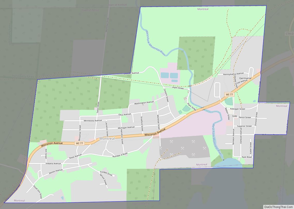
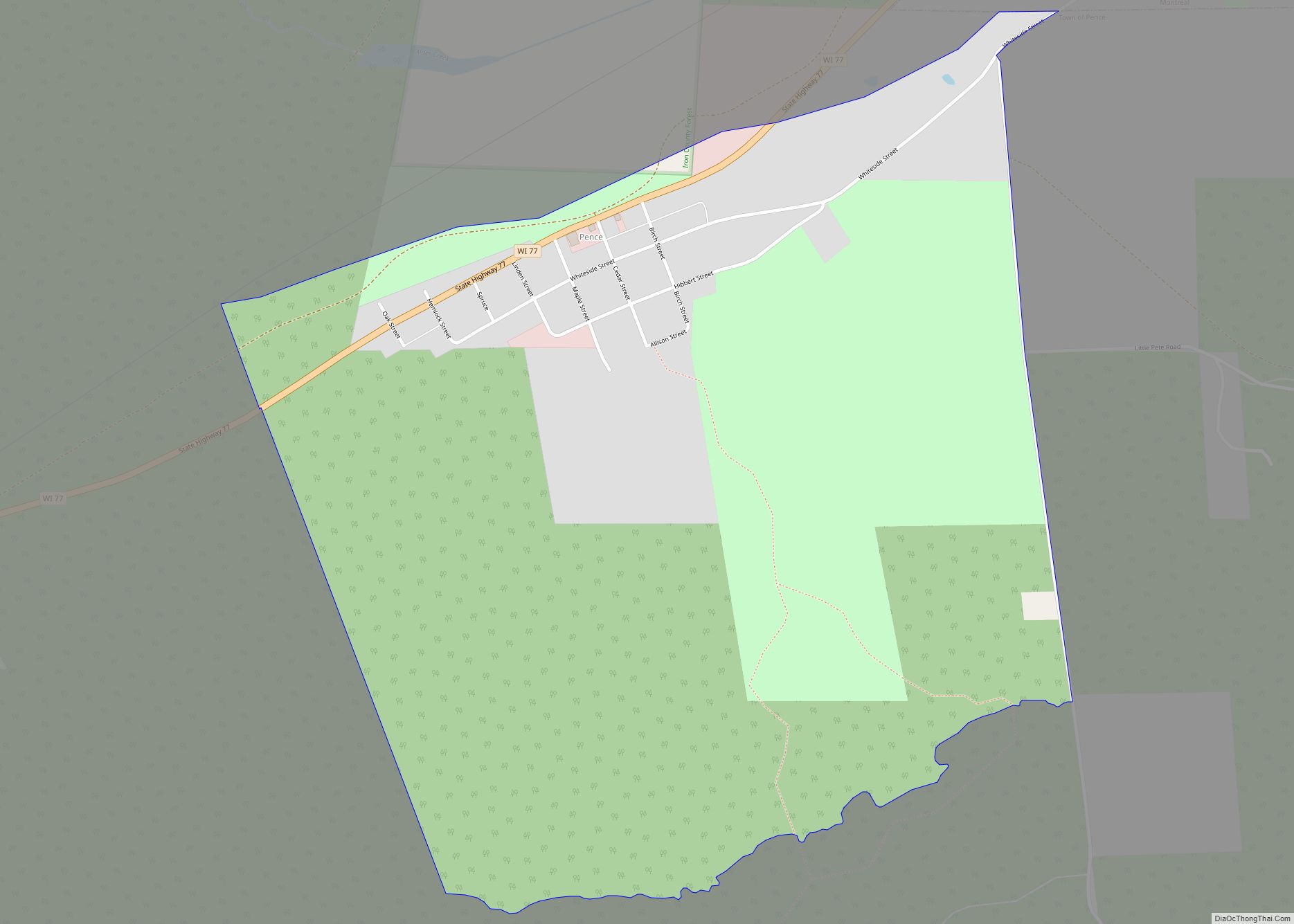
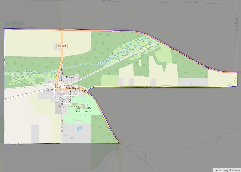
Online Interactive Map
Click on ![]() to view map in "full screen" mode.
to view map in "full screen" mode.
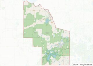
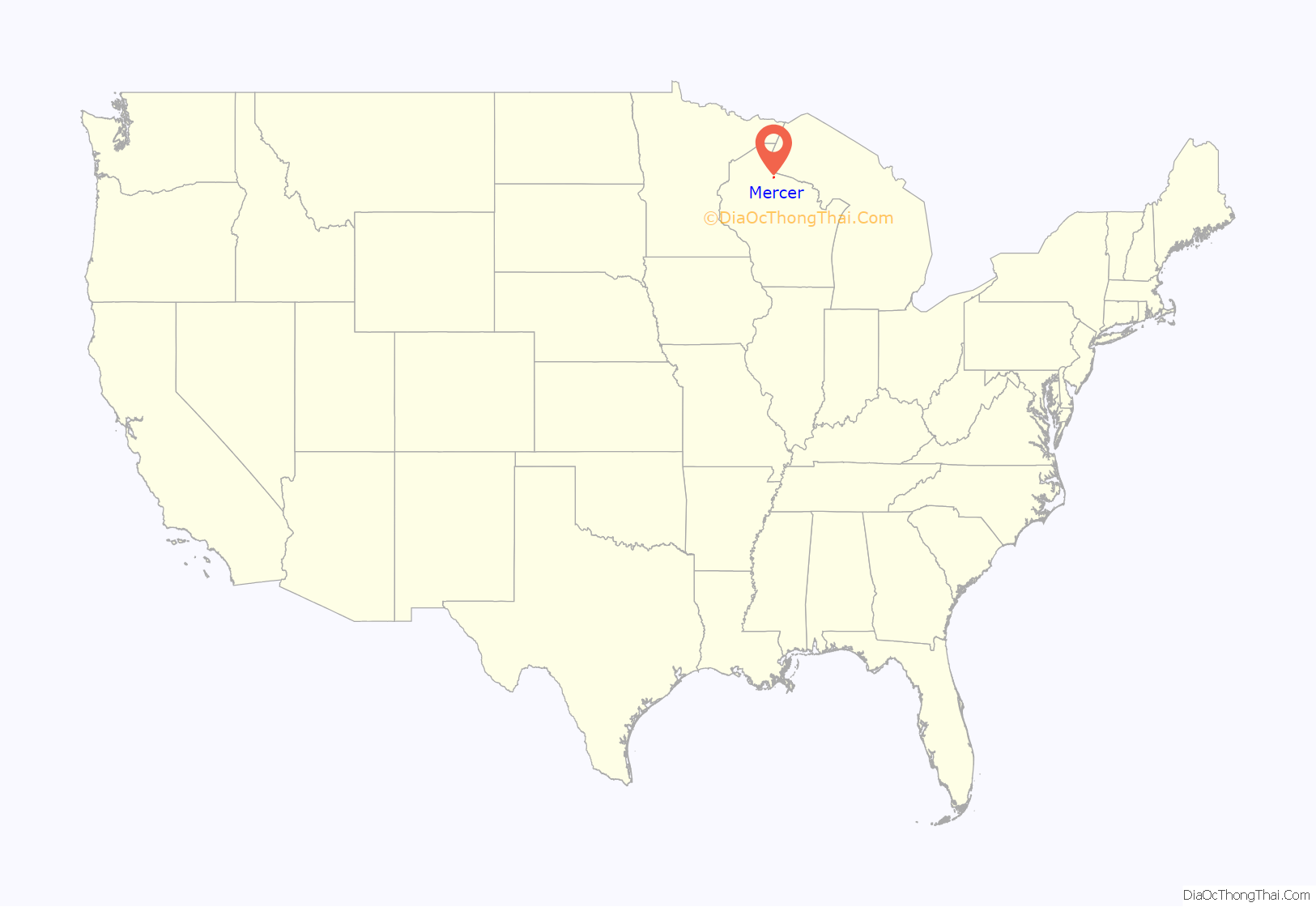
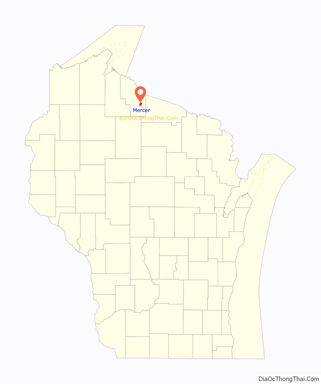
Mercer location map. Where is Mercer CDP?
History
A post office called Mercer has been in operation since 1895. The community was probably named for Hugh Mercer, a general in the American Revolutionary War.
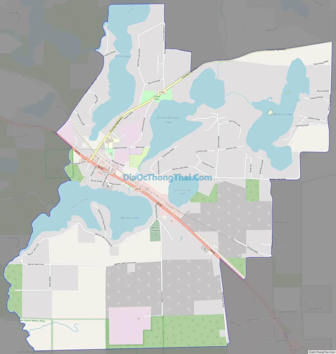
Mercer Road Map
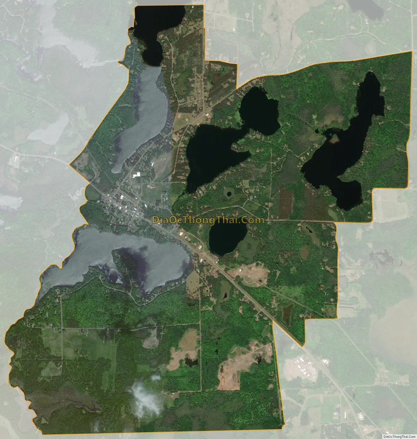
Mercer city Satellite Map
See also
Map of Wisconsin State and its subdivision:- Adams
- Ashland
- Barron
- Bayfield
- Brown
- Buffalo
- Burnett
- Calumet
- Chippewa
- Clark
- Columbia
- Crawford
- Dane
- Dodge
- Door
- Douglas
- Dunn
- Eau Claire
- Florence
- Fond du Lac
- Forest
- Grant
- Green
- Green Lake
- Iowa
- Iron
- Jackson
- Jefferson
- Juneau
- Kenosha
- Kewaunee
- La Crosse
- Lafayette
- Lake Michigan
- Lake Superior
- Langlade
- Lincoln
- Manitowoc
- Marathon
- Marinette
- Marquette
- Menominee
- Milwaukee
- Monroe
- Oconto
- Oneida
- Outagamie
- Ozaukee
- Pepin
- Pierce
- Polk
- Portage
- Price
- Racine
- Richland
- Rock
- Rusk
- Saint Croix
- Sauk
- Sawyer
- Shawano
- Sheboygan
- Taylor
- Trempealeau
- Vernon
- Vilas
- Walworth
- Washburn
- Washington
- Waukesha
- Waupaca
- Waushara
- Winnebago
- Wood
- Alabama
- Alaska
- Arizona
- Arkansas
- California
- Colorado
- Connecticut
- Delaware
- District of Columbia
- Florida
- Georgia
- Hawaii
- Idaho
- Illinois
- Indiana
- Iowa
- Kansas
- Kentucky
- Louisiana
- Maine
- Maryland
- Massachusetts
- Michigan
- Minnesota
- Mississippi
- Missouri
- Montana
- Nebraska
- Nevada
- New Hampshire
- New Jersey
- New Mexico
- New York
- North Carolina
- North Dakota
- Ohio
- Oklahoma
- Oregon
- Pennsylvania
- Rhode Island
- South Carolina
- South Dakota
- Tennessee
- Texas
- Utah
- Vermont
- Virginia
- Washington
- West Virginia
- Wisconsin
- Wyoming