Monona is a city in Dane County, Wisconsin, United States. A suburb of the state capital, Madison, the city lies on the southeastern shore of Lake Monona, from which the city gets its name. The population was 8,624 at the 2020 census.
| Name: | Monona city |
|---|---|
| LSAD Code: | 25 |
| LSAD Description: | city (suffix) |
| State: | Wisconsin |
| County: | Dane County |
| Incorporated: | August 29, 1938 |
| Elevation: | 879 ft (268 m) |
| Total Area: | 3.35 sq mi (8.68 km²) |
| Land Area: | 3.26 sq mi (8.44 km²) |
| Water Area: | 0.09 sq mi (0.24 km²) |
| Total Population: | 8,624 |
| Population Density: | 2,508.44/sq mi (968.45/km²) |
| ZIP code: | 53716 |
| Area code: | 608 |
| FIPS code: | 5553675 |
| GNISfeature ID: | 1569653 |
| Website: | www.mymonona.com |
Online Interactive Map
Click on ![]() to view map in "full screen" mode.
to view map in "full screen" mode.
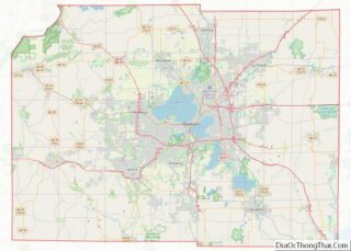
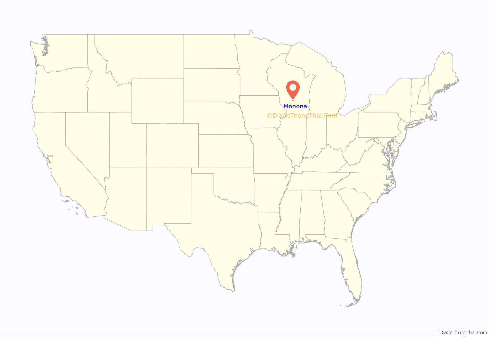
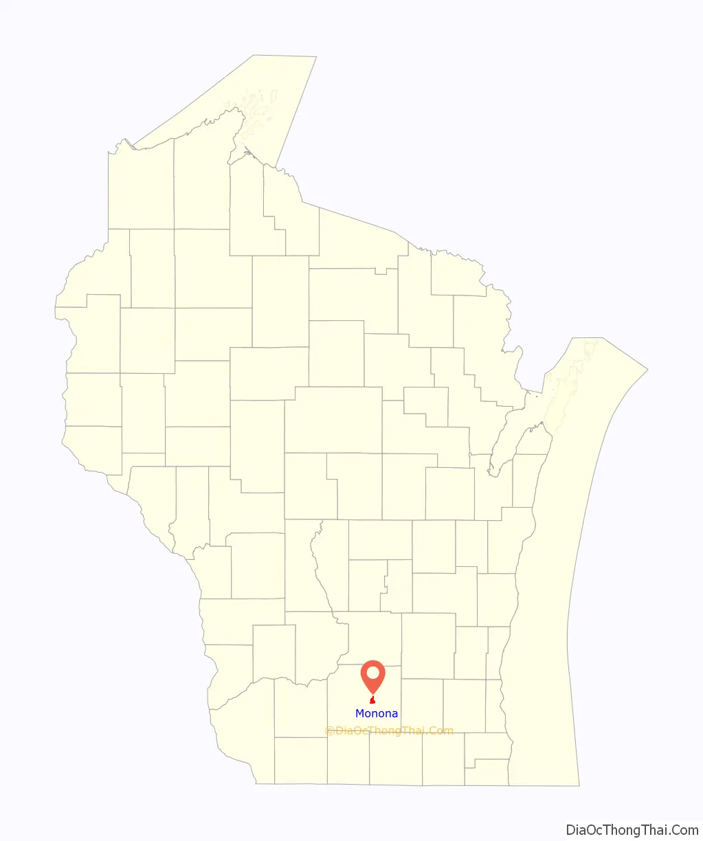
Monona location map. Where is Monona city?
History
Originally part of the Town of Blooming Grove, Monona was incorporated as a village on August 29, 1938. Prior to 1938, the area mainly consisted of farmland and summer homes. However, by 1938, permanent homes and small businesses had become much more common in the area. During the 1950s, Monona grew in population from 2,544 to 8,178.
In 1963, Monona built a community center and adjacent swimming pool. In 1967, a public library was built. In 1969, when Monona incorporated as a city, a city hall was built across from the library. It houses all city operations, including the fire and police departments.
Indian mound discovery
During the 1940s, a mound was cut into during street construction and skeletons were uncovered. This Indian burial mound was thought to have been built around 1,500 years ago by the Hopewell Indians A Wisconsin historical marker was placed at this site in 1998, inscribed with the following:
The area where the mound was discovered, now known as Indian Mounds Park, is located at the corner of Midwood and Ridgewood Avenues.
It was added to the National Register of Historic Places in 2003.
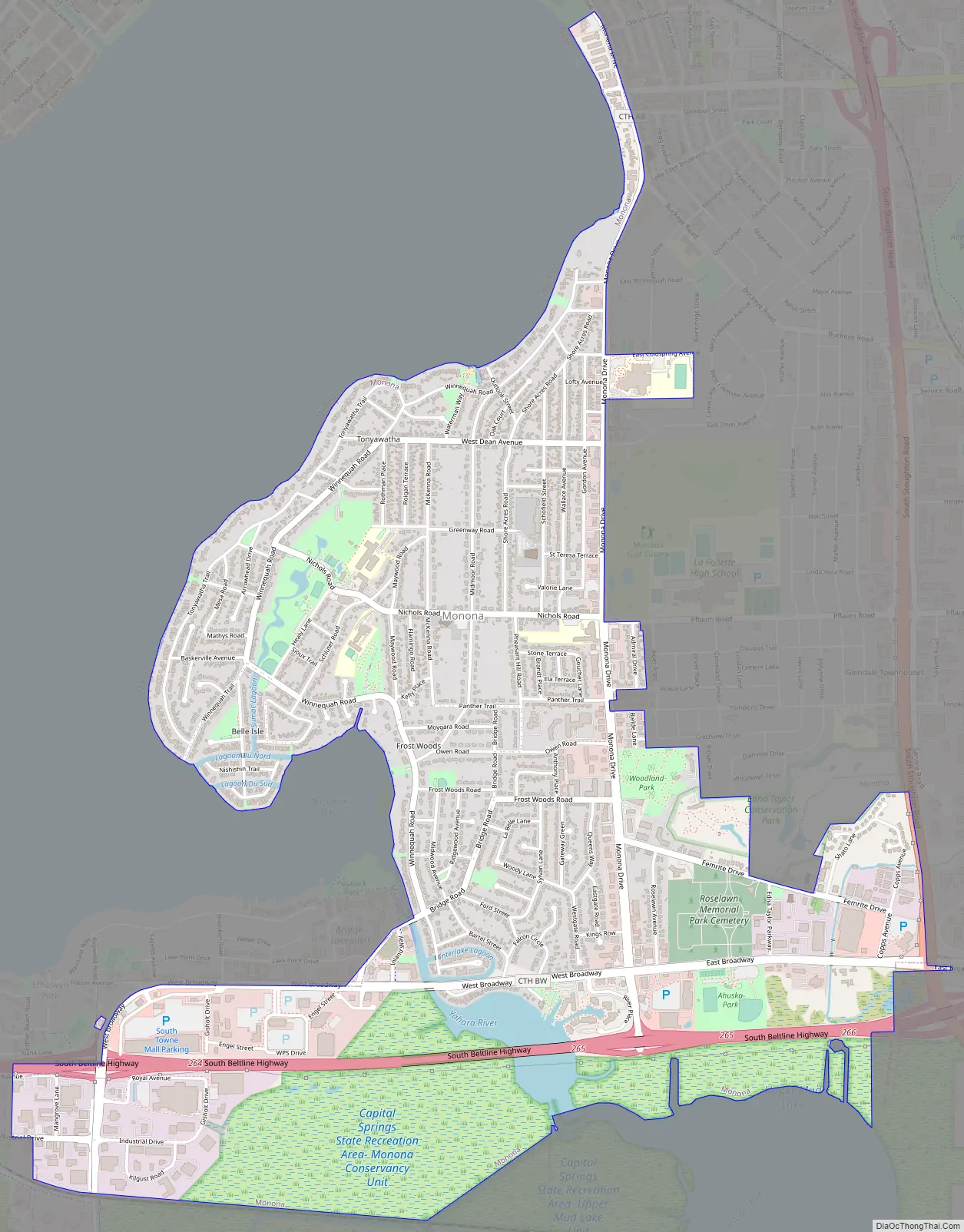
Monona Road Map
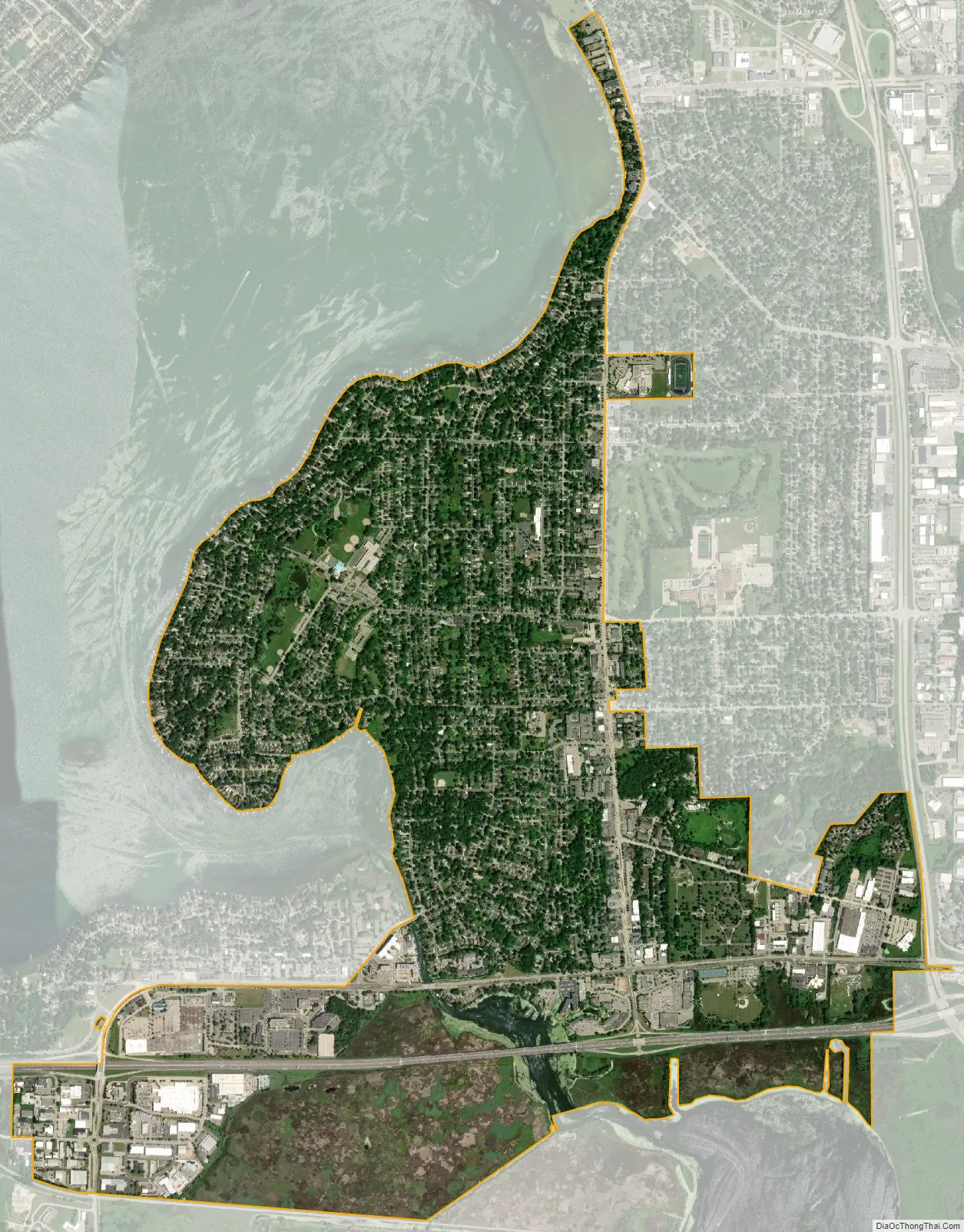
Monona city Satellite Map
Geography
Monona is located at 43°3′25″N 89°20′1″W / 43.05694°N 89.33361°W / 43.05694; -89.33361 (43.057029, -89.333716).
According to the United States Census Bureau, the city has a total area of 3.35 square miles (8.68 km), of which, 3.26 square miles (8.44 km) is land and 0.09 square miles (0.23 km) is water.
See also
Map of Wisconsin State and its subdivision:- Adams
- Ashland
- Barron
- Bayfield
- Brown
- Buffalo
- Burnett
- Calumet
- Chippewa
- Clark
- Columbia
- Crawford
- Dane
- Dodge
- Door
- Douglas
- Dunn
- Eau Claire
- Florence
- Fond du Lac
- Forest
- Grant
- Green
- Green Lake
- Iowa
- Iron
- Jackson
- Jefferson
- Juneau
- Kenosha
- Kewaunee
- La Crosse
- Lafayette
- Lake Michigan
- Lake Superior
- Langlade
- Lincoln
- Manitowoc
- Marathon
- Marinette
- Marquette
- Menominee
- Milwaukee
- Monroe
- Oconto
- Oneida
- Outagamie
- Ozaukee
- Pepin
- Pierce
- Polk
- Portage
- Price
- Racine
- Richland
- Rock
- Rusk
- Saint Croix
- Sauk
- Sawyer
- Shawano
- Sheboygan
- Taylor
- Trempealeau
- Vernon
- Vilas
- Walworth
- Washburn
- Washington
- Waukesha
- Waupaca
- Waushara
- Winnebago
- Wood
- Alabama
- Alaska
- Arizona
- Arkansas
- California
- Colorado
- Connecticut
- Delaware
- District of Columbia
- Florida
- Georgia
- Hawaii
- Idaho
- Illinois
- Indiana
- Iowa
- Kansas
- Kentucky
- Louisiana
- Maine
- Maryland
- Massachusetts
- Michigan
- Minnesota
- Mississippi
- Missouri
- Montana
- Nebraska
- Nevada
- New Hampshire
- New Jersey
- New Mexico
- New York
- North Carolina
- North Dakota
- Ohio
- Oklahoma
- Oregon
- Pennsylvania
- Rhode Island
- South Carolina
- South Dakota
- Tennessee
- Texas
- Utah
- Vermont
- Virginia
- Washington
- West Virginia
- Wisconsin
- Wyoming