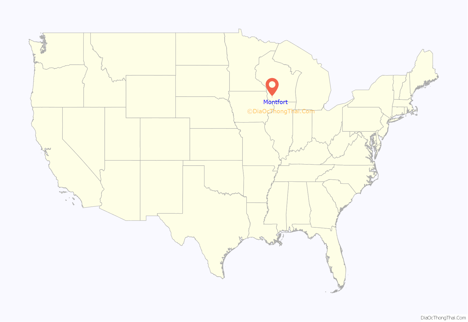
Montfort is a village in Grant and Iowa Counties in the U.S. state of Wisconsin. The population was 718 at the 2010 census. Of this, 622 were in Grant County, and 96 were in Iowa County.
The Iowa County portion of Montfort is part of the Madison Metropolitan Statistical Area, while the Grant County portion is part of the Platteville Micropolitan Statistical Area.
| Name: | Montfort village |
|---|---|
| LSAD Code: | 47 |
| LSAD Description: | village (suffix) |
| State: | Wisconsin |
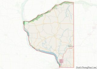
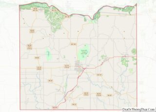
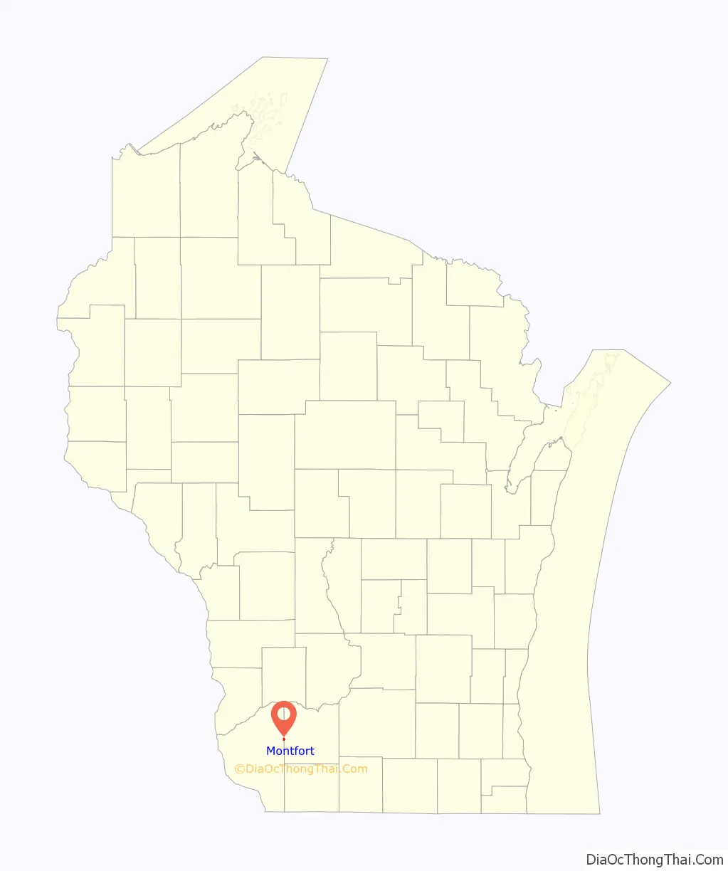
| County: | Grant County, Iowa County |
| Incorporated: | 1893 |
| Elevation: | 1,109 ft (338 m) |
| Total Area: | 0.54 sq mi (1.39 km²) |
| Land Area: | 0.54 sq mi (1.39 km²) |
| Water Area: | 0.00 sq mi (0.00 km²) |
| Total Population: | 718 |
| Population Density: | 1,278.81/sq mi (493.77/km²) |
| Area code: | 608 |
| FIPS code: | 5553950 |
| GNISfeature ID: | 1569677 |
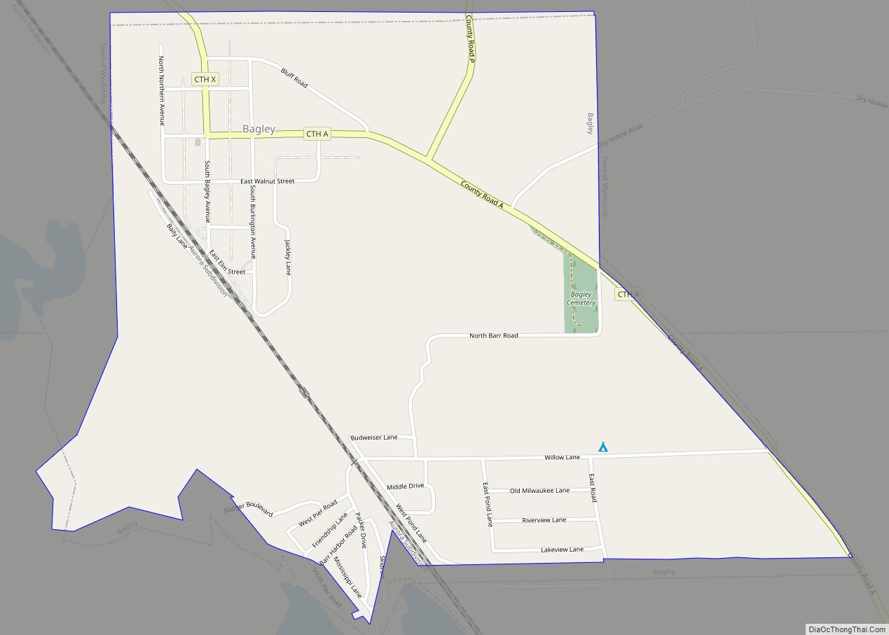
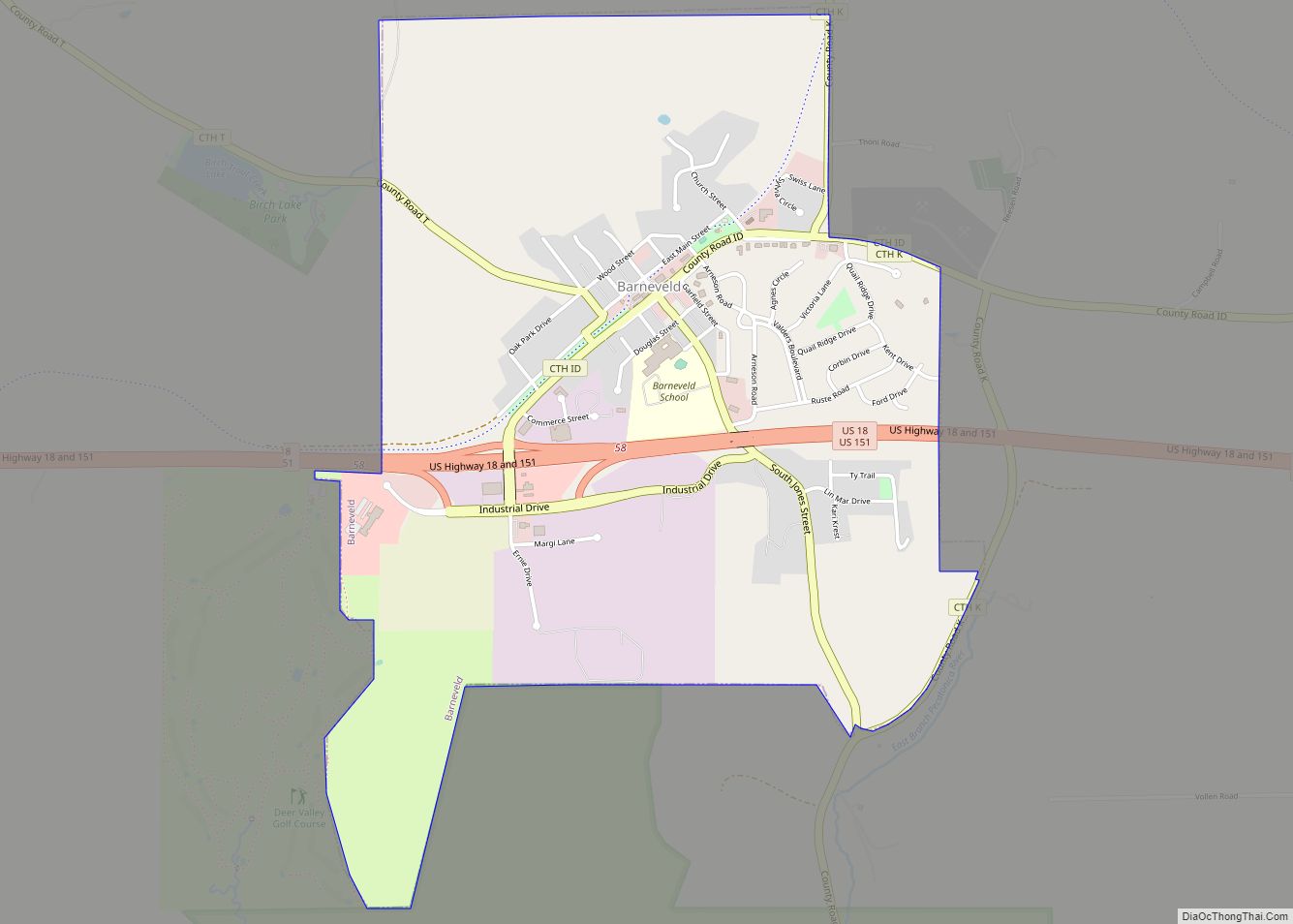
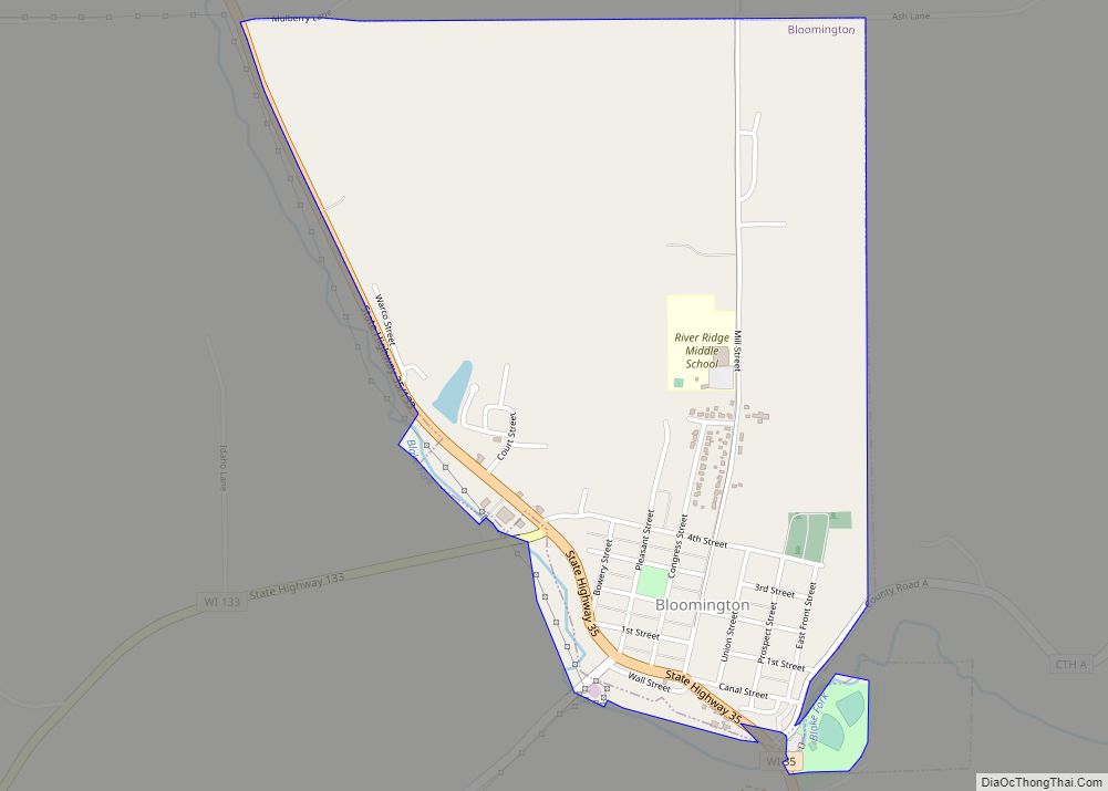
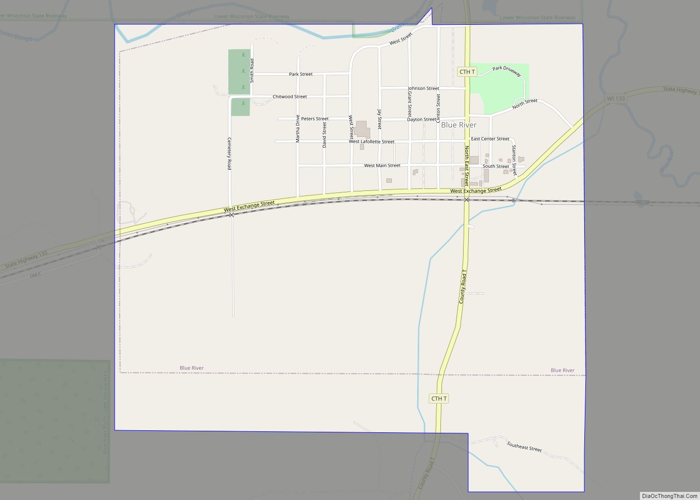
Online Interactive Map
Click on ![]() to view map in "full screen" mode.
to view map in "full screen" mode.
Montfort location map. Where is Montfort village?
History
Montfort was named from an old fort situated on a nearby hill. The site of the village was inhabited and operated as an unincorporated settlement in the town of Wingville, Wisconsin, since 1848. It was formally incorporated as a village in 1893.
The Wisconsin Farmers Union Specialty Cheese Company in Montfort produces the award-winning Montforte Blue Cheese.
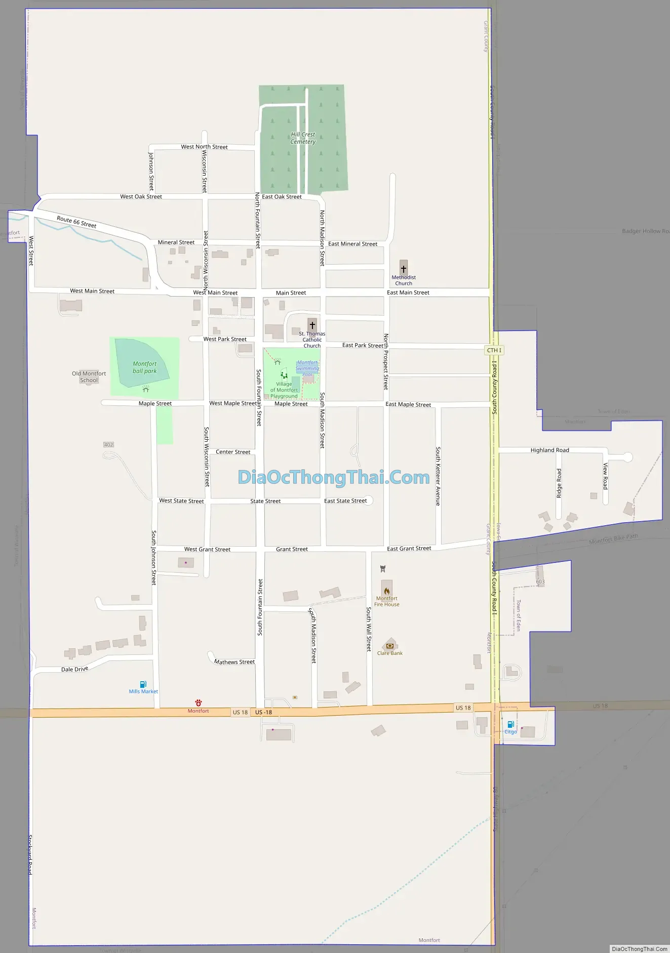
Montfort Road Map
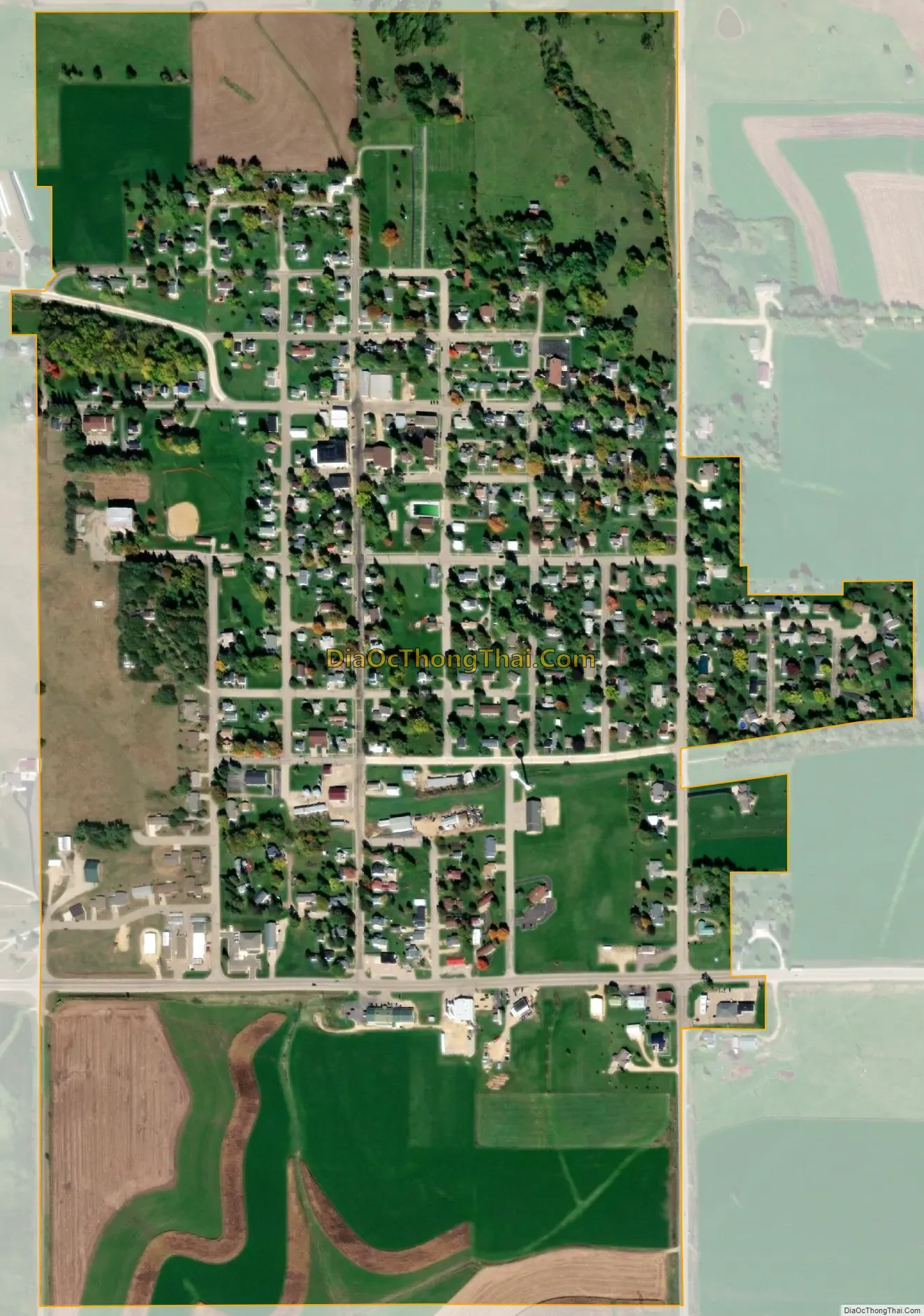
Montfort city Satellite Map
Geography
Montfort is located at 42°58′17″N 90°25′59″W / 42.97139°N 90.43306°W / 42.97139; -90.43306 (42.971399, -90.432937). It is bounded on the west, north, and south, by the town of Wingville, Wisconsin, and is bounded on the east by the town of Highland, Iowa County, Wisconsin.
According to the United States Census Bureau, the village has a total area of 0.54 square miles (1.40 km), all of it land.
See also
Map of Wisconsin State and its subdivision:- Adams
- Ashland
- Barron
- Bayfield
- Brown
- Buffalo
- Burnett
- Calumet
- Chippewa
- Clark
- Columbia
- Crawford
- Dane
- Dodge
- Door
- Douglas
- Dunn
- Eau Claire
- Florence
- Fond du Lac
- Forest
- Grant
- Green
- Green Lake
- Iowa
- Iron
- Jackson
- Jefferson
- Juneau
- Kenosha
- Kewaunee
- La Crosse
- Lafayette
- Lake Michigan
- Lake Superior
- Langlade
- Lincoln
- Manitowoc
- Marathon
- Marinette
- Marquette
- Menominee
- Milwaukee
- Monroe
- Oconto
- Oneida
- Outagamie
- Ozaukee
- Pepin
- Pierce
- Polk
- Portage
- Price
- Racine
- Richland
- Rock
- Rusk
- Saint Croix
- Sauk
- Sawyer
- Shawano
- Sheboygan
- Taylor
- Trempealeau
- Vernon
- Vilas
- Walworth
- Washburn
- Washington
- Waukesha
- Waupaca
- Waushara
- Winnebago
- Wood
- Alabama
- Alaska
- Arizona
- Arkansas
- California
- Colorado
- Connecticut
- Delaware
- District of Columbia
- Florida
- Georgia
- Hawaii
- Idaho
- Illinois
- Indiana
- Iowa
- Kansas
- Kentucky
- Louisiana
- Maine
- Maryland
- Massachusetts
- Michigan
- Minnesota
- Mississippi
- Missouri
- Montana
- Nebraska
- Nevada
- New Hampshire
- New Jersey
- New Mexico
- New York
- North Carolina
- North Dakota
- Ohio
- Oklahoma
- Oregon
- Pennsylvania
- Rhode Island
- South Carolina
- South Dakota
- Tennessee
- Texas
- Utah
- Vermont
- Virginia
- Washington
- West Virginia
- Wisconsin
- Wyoming