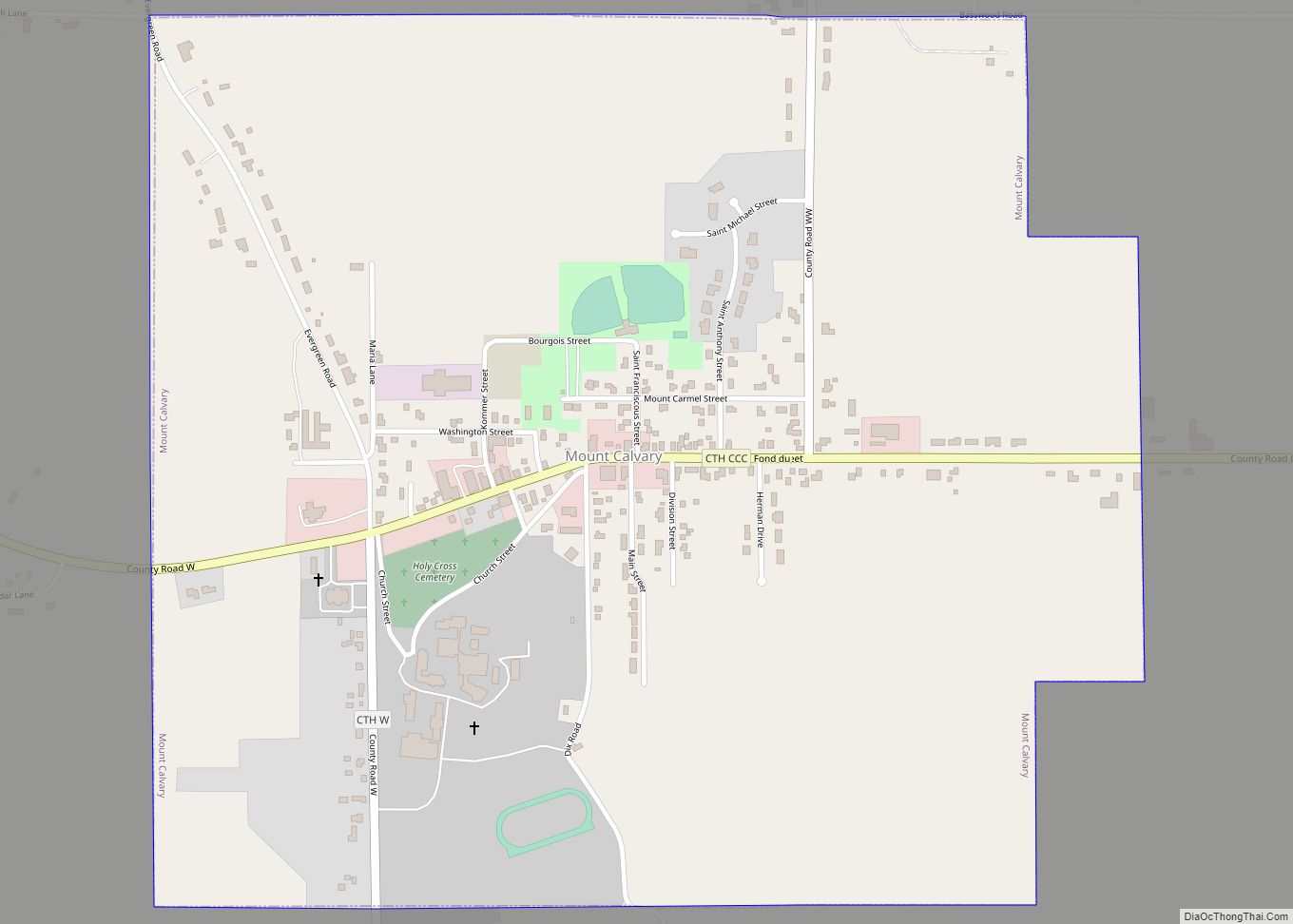
Mount Calvary is a village in Fond du Lac County, Wisconsin, United States. The population was 762 at the 2010 census, down from 956 residents at the 2000 census.
| Name: | Mount Calvary village |
|---|---|
| LSAD Code: | 47 |
| LSAD Description: | village (suffix) |
| State: | Wisconsin |
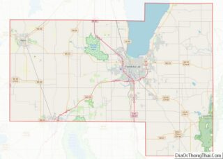
| County: | Fond du Lac County |
| Elevation: | 958 ft (292 m) |
| Total Area: | 1.06 sq mi (2.74 km²) |
| Land Area: | 1.06 sq mi (2.74 km²) |
| Water Area: | 0.00 sq mi (0.00 km²) |
| Total Population: | 762 |
| Population Density: | 713.07/sq mi (275.21/km²) |
| ZIP code: | 53057 |
| Area code: | 920 |
| FIPS code: | 5554650 |
| GNISfeature ID: | 1569802 |
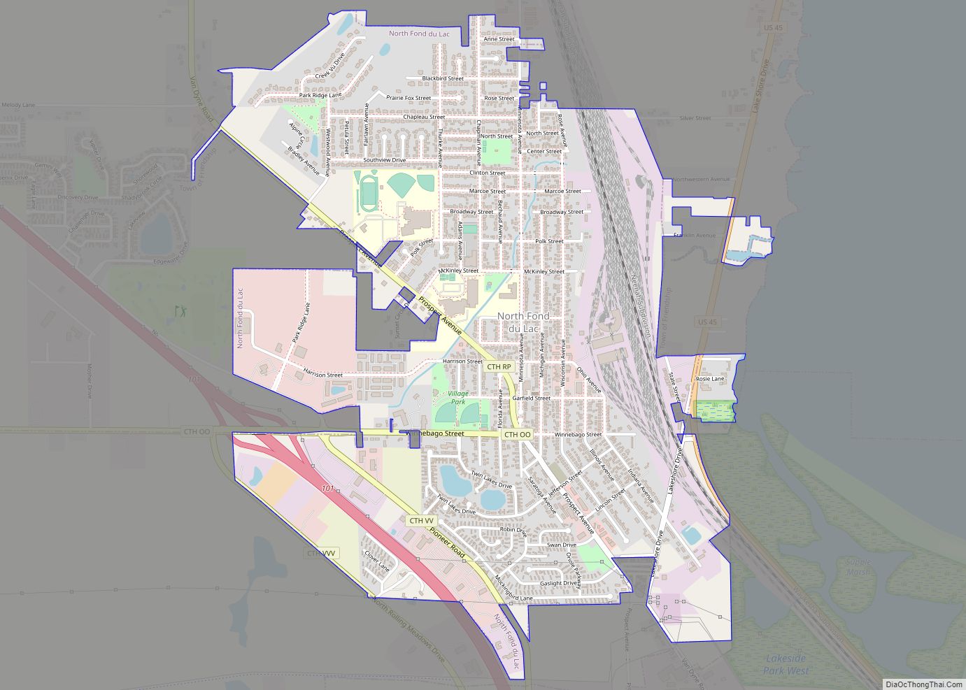
Online Interactive Map
Click on ![]() to view map in "full screen" mode.
to view map in "full screen" mode.
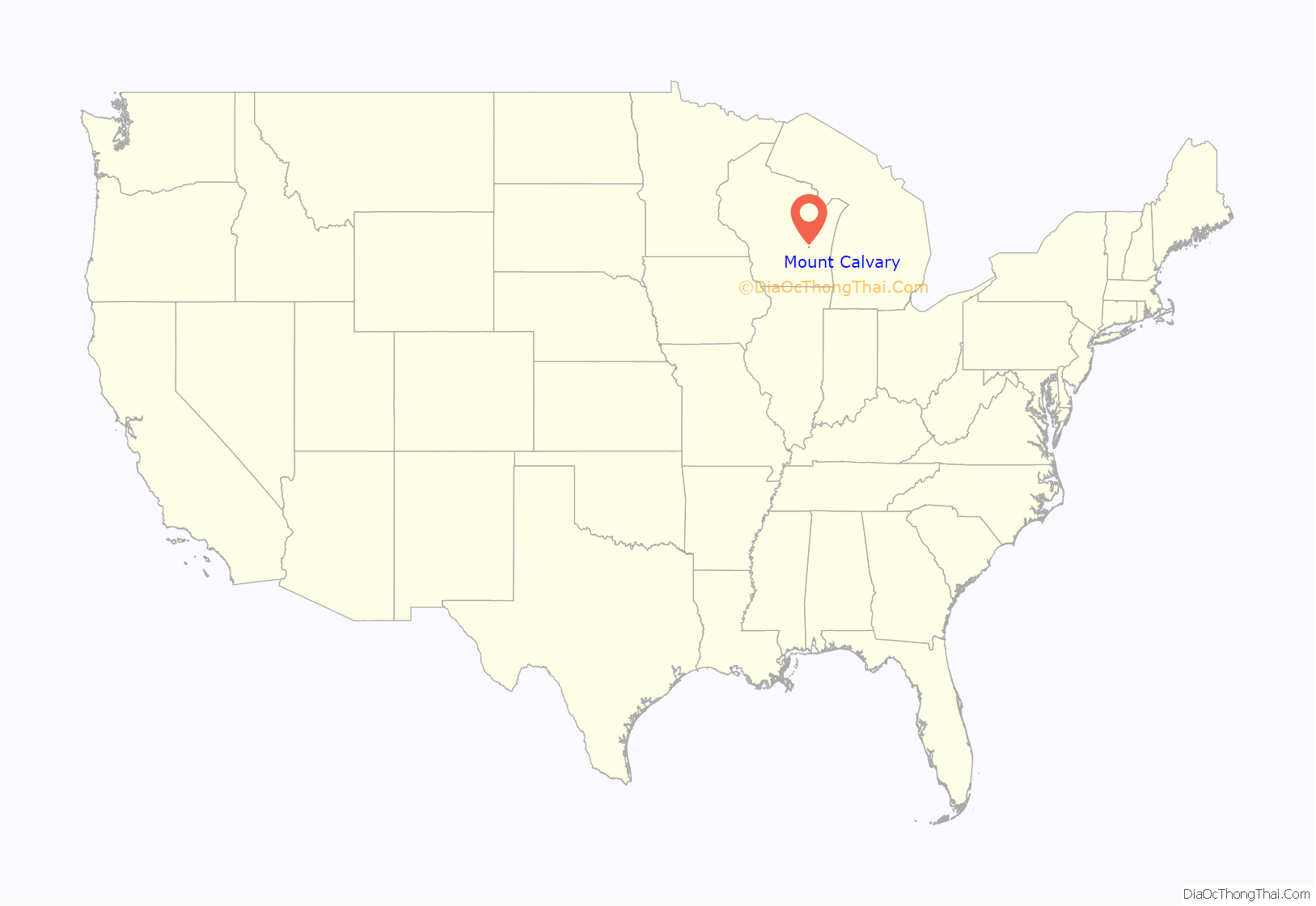
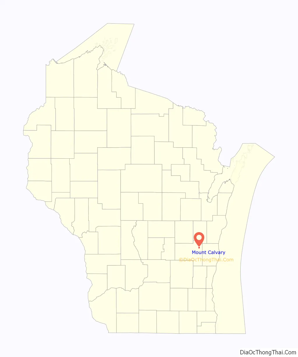
Mount Calvary location map. Where is Mount Calvary village?
History
Mount Calvary’s location was chosen by missionary Casper Rehrl; he selected the large hill because of its excellent view and he placed a wood cross. Starting in 1846, settlers started building houses at the base of the hill. Riehl held the community’s first mass circa 1849 at the home of John Dietzen. Bishop John Henni confirmed the first child from Mount Calvary at the St. John the Baptist Church in nearby Johnsburg (it was the only church in the region). A parish was established in Mount Calvary by Rehrl on February 2, 1849; construction of the church began on the following day. A school was established by the church and it quickly had five or six students.
The community’s first general store was built in 1851–1852. Two priests arrived on October 15, 1856 to establish a monastery (it later became the St. Lawrence Seminary High School). A post office was built in November 1877; Anthony Rothgery was named first postmaster. A railroad was established in the 1850s and 1860s; it connected Sheboygan to Fond du Lac. Trains ran twice daily through nearby Calvary Station.
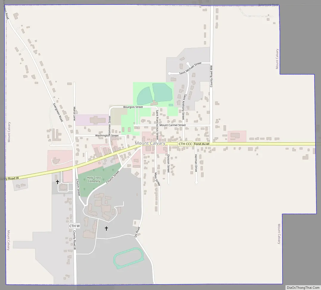
Mount Calvary Road Map
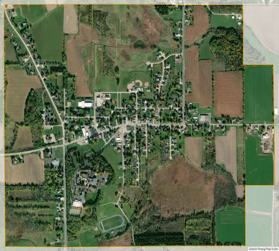
Mount Calvary city Satellite Map
Geography
Mount Calvary is located at 43°49′32″N 88°14′53″W / 43.82556°N 88.24806°W / 43.82556; -88.24806 (43.825664, -88.248114).
According to the United States Census Bureau, the village has a total area of 1.05 square miles (2.72 km), all of it land.
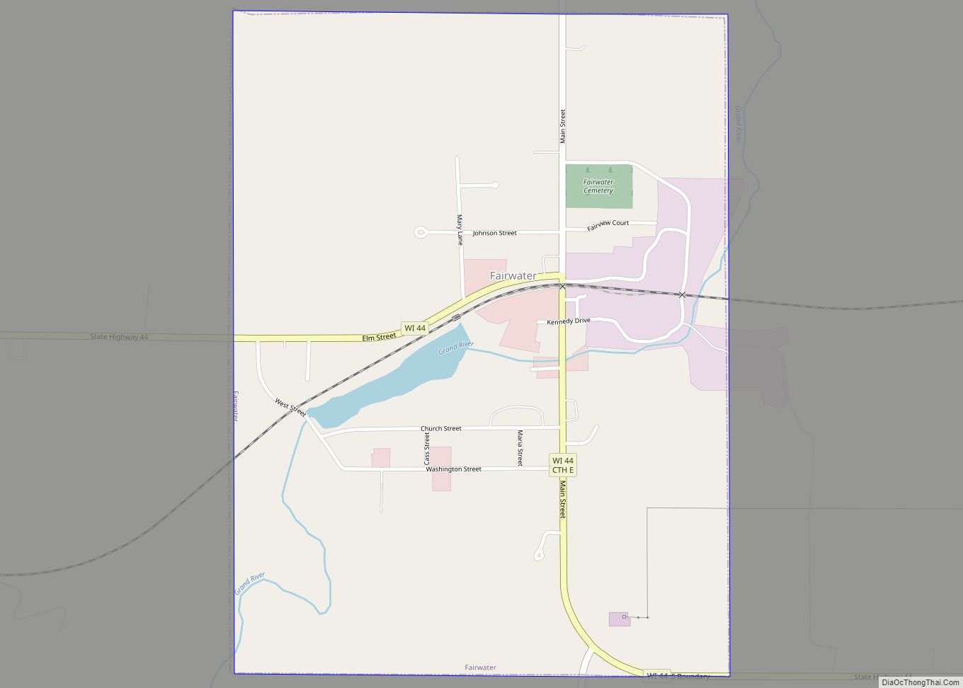
Mount Calvary is located in an eastern Fond du Lac County, Wisconsin area known as “The Holyland”, so-called because of the large number of communities built around churches, including St. Peter, St. Cloud, St. Anna, Marytown, Johnsburg, Calvary, Brothertown and Jericho.
See also
Map of Wisconsin State and its subdivision:- Adams
- Ashland
- Barron
- Bayfield
- Brown
- Buffalo
- Burnett
- Calumet
- Chippewa
- Clark
- Columbia
- Crawford
- Dane
- Dodge
- Door
- Douglas
- Dunn
- Eau Claire
- Florence
- Fond du Lac
- Forest
- Grant
- Green
- Green Lake
- Iowa
- Iron
- Jackson
- Jefferson
- Juneau
- Kenosha
- Kewaunee
- La Crosse
- Lafayette
- Lake Michigan
- Lake Superior
- Langlade
- Lincoln
- Manitowoc
- Marathon
- Marinette
- Marquette
- Menominee
- Milwaukee
- Monroe
- Oconto
- Oneida
- Outagamie
- Ozaukee
- Pepin
- Pierce
- Polk
- Portage
- Price
- Racine
- Richland
- Rock
- Rusk
- Saint Croix
- Sauk
- Sawyer
- Shawano
- Sheboygan
- Taylor
- Trempealeau
- Vernon
- Vilas
- Walworth
- Washburn
- Washington
- Waukesha
- Waupaca
- Waushara
- Winnebago
- Wood
- Alabama
- Alaska
- Arizona
- Arkansas
- California
- Colorado
- Connecticut
- Delaware
- District of Columbia
- Florida
- Georgia
- Hawaii
- Idaho
- Illinois
- Indiana
- Iowa
- Kansas
- Kentucky
- Louisiana
- Maine
- Maryland
- Massachusetts
- Michigan
- Minnesota
- Mississippi
- Missouri
- Montana
- Nebraska
- Nevada
- New Hampshire
- New Jersey
- New Mexico
- New York
- North Carolina
- North Dakota
- Ohio
- Oklahoma
- Oregon
- Pennsylvania
- Rhode Island
- South Carolina
- South Dakota
- Tennessee
- Texas
- Utah
- Vermont
- Virginia
- Washington
- West Virginia
- Wisconsin
- Wyoming