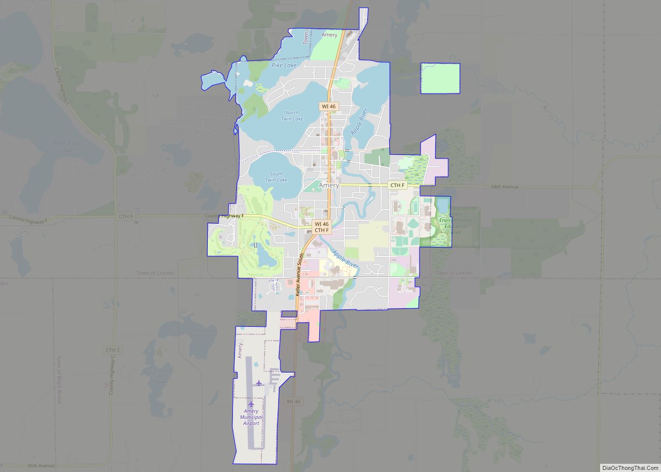
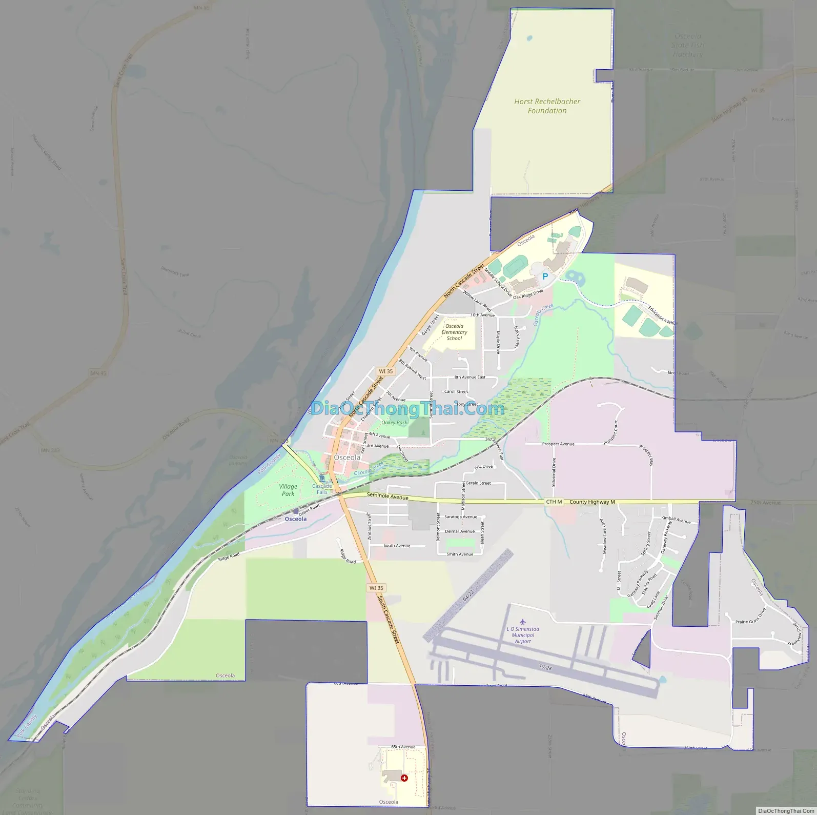
Osceola is a village in Polk County, Wisconsin, United States. The population was 2,765 at the 2020 census. Located mostly within the Town of Osceola, the village sits on the border with Minnesota, separated by the St. Croix River. It is along Wisconsin Highway 35.
The Village Board has articulated the 10 most significant assets and given them the name “the Power of 10“. They are: 1) Schools; 2) Airport (the Osceola Municipal Airfield); 3) Industrial Park; 4) the St. Croix River; 5) the Cascade Falls; 6) Downtown Businesses; 7) Personalization/Historic Feel of Downtown; 8) access to a major population center (Minneapolis/St. Paul Metropolitan Region); 9) Medical Services; Tie for 10/11) Recreational opportunities and the Braves.
| Name: | Osceola village |
|---|---|
| LSAD Code: | 47 |
| LSAD Description: | village (suffix) |
| State: | Wisconsin |
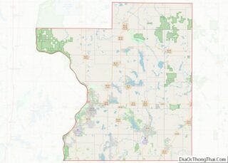
| County: | Polk County |
| Total Area: | 4.19 sq mi (10.84 km²) |
| Land Area: | 4.06 sq mi (10.52 km²) |
| Water Area: | 0.13 sq mi (0.33 km²) |
| Total Population: | 2,568 |
| Population Density: | 629.56/sq mi (243.05/km²) |
| ZIP code: | 54020 |
| Area code: | 715 & 534 |
| FIPS code: | 5560450 |
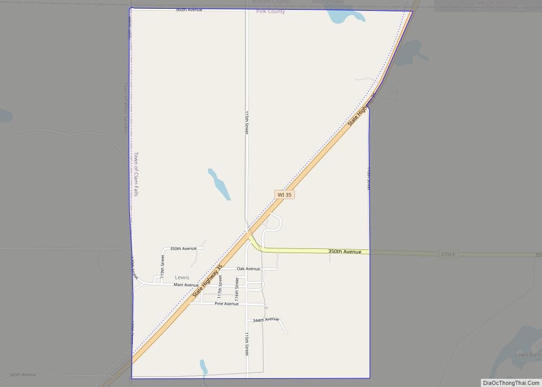
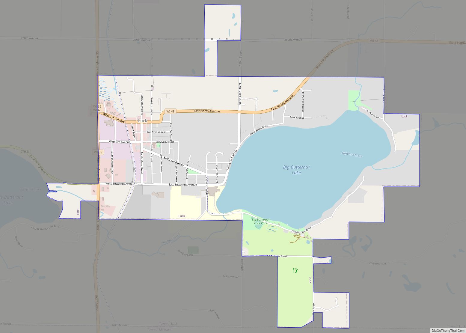
Online Interactive Map
Click on ![]() to view map in "full screen" mode.
to view map in "full screen" mode.
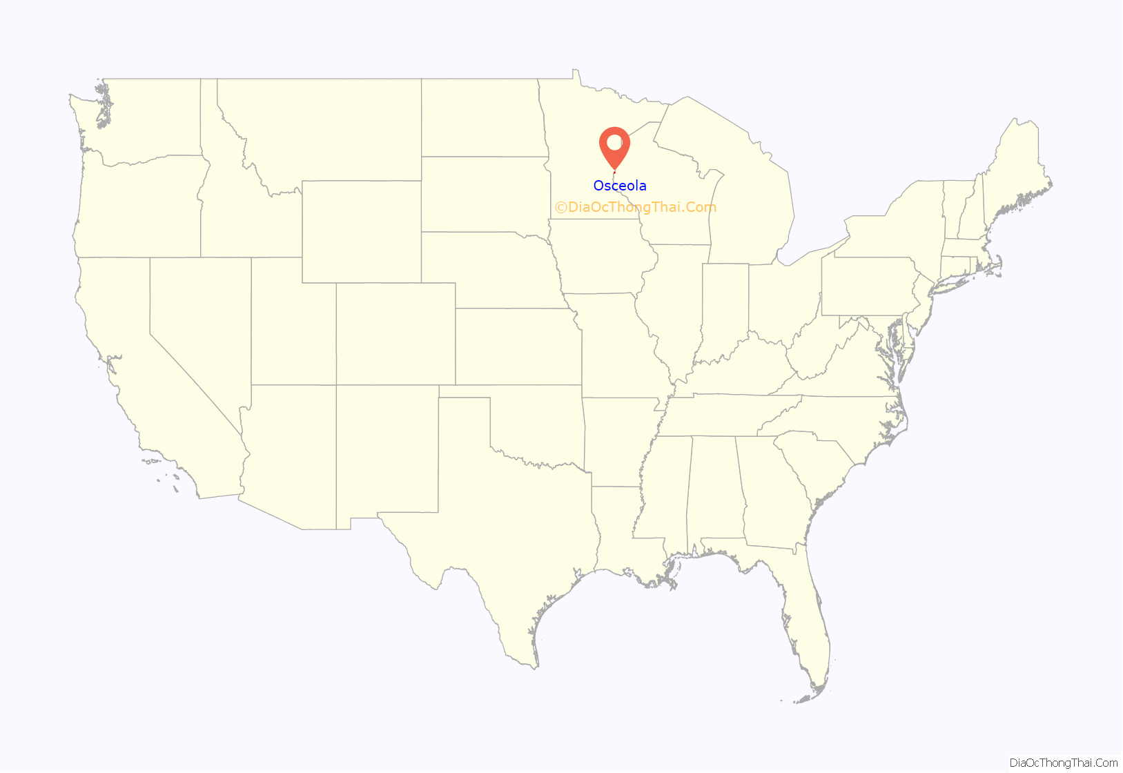
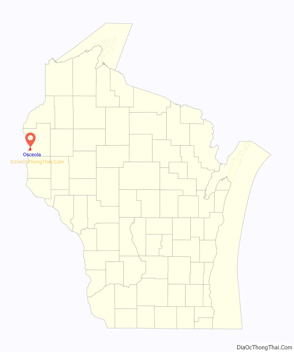
Osceola location map. Where is Osceola village?
History
The village was named after Osceola, chief of the Seminoles.
Osceola Road Map
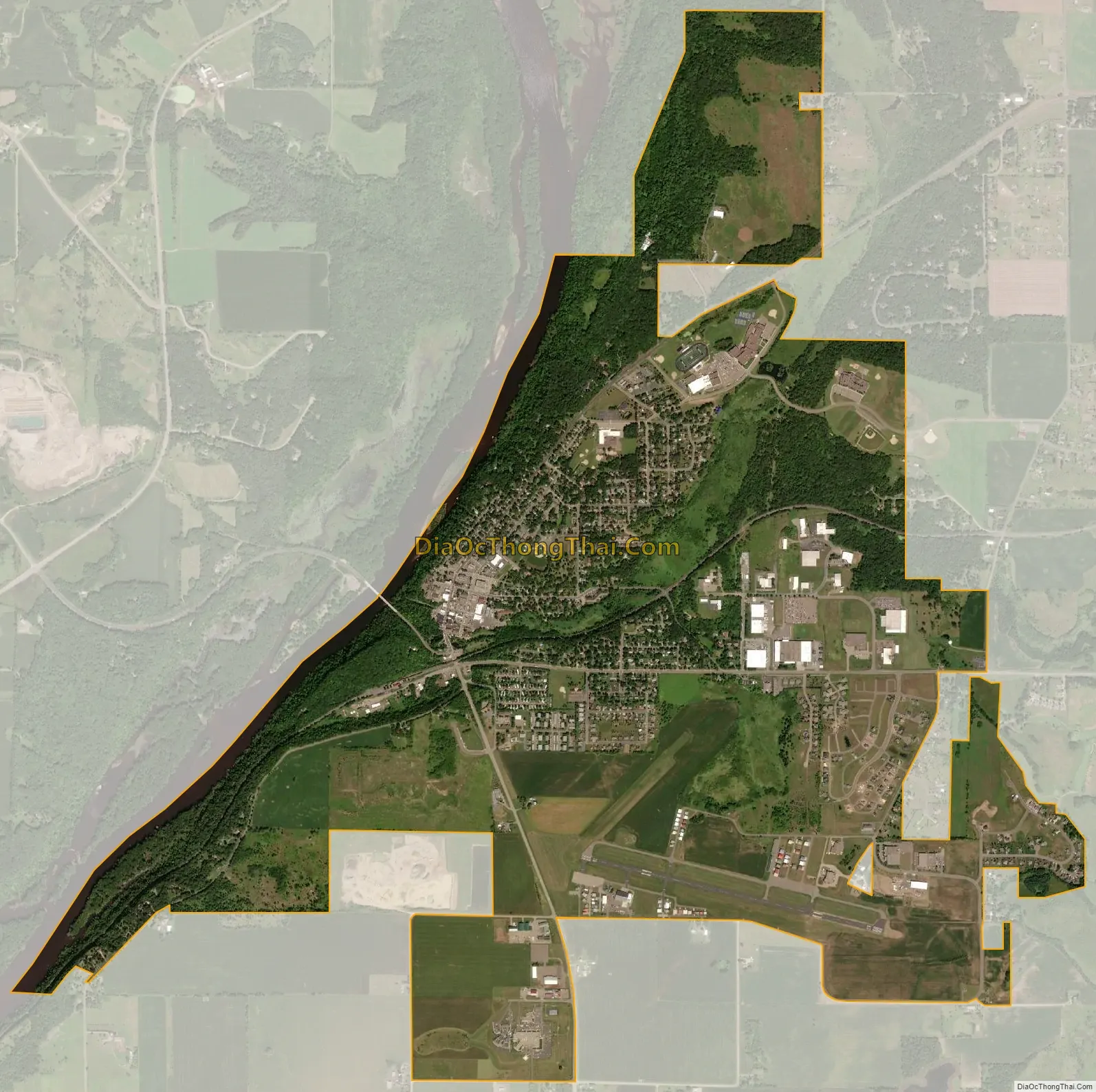
Osceola city Satellite Map
Geography
Osceola is located at 45°19′20″N 92°41′54″W / 45.32222°N 92.69833°W / 45.32222; -92.69833 (45.322365, -92.698534). Cascade Falls, a 25-foot (7.6 m) waterfall with a 30-foot (9.1 m) crest on Osceola Creek, is located in downtown Osceola.
According to the United States Census Bureau, the village has a total area of 4.32 square miles (11.19 km), of which, 4.19 square miles (10.85 km) of it is land and 0.13 square miles (0.34 km) is water.
See also
Map of Wisconsin State and its subdivision:- Adams
- Ashland
- Barron
- Bayfield
- Brown
- Buffalo
- Burnett
- Calumet
- Chippewa
- Clark
- Columbia
- Crawford
- Dane
- Dodge
- Door
- Douglas
- Dunn
- Eau Claire
- Florence
- Fond du Lac
- Forest
- Grant
- Green
- Green Lake
- Iowa
- Iron
- Jackson
- Jefferson
- Juneau
- Kenosha
- Kewaunee
- La Crosse
- Lafayette
- Lake Michigan
- Lake Superior
- Langlade
- Lincoln
- Manitowoc
- Marathon
- Marinette
- Marquette
- Menominee
- Milwaukee
- Monroe
- Oconto
- Oneida
- Outagamie
- Ozaukee
- Pepin
- Pierce
- Polk
- Portage
- Price
- Racine
- Richland
- Rock
- Rusk
- Saint Croix
- Sauk
- Sawyer
- Shawano
- Sheboygan
- Taylor
- Trempealeau
- Vernon
- Vilas
- Walworth
- Washburn
- Washington
- Waukesha
- Waupaca
- Waushara
- Winnebago
- Wood
- Alabama
- Alaska
- Arizona
- Arkansas
- California
- Colorado
- Connecticut
- Delaware
- District of Columbia
- Florida
- Georgia
- Hawaii
- Idaho
- Illinois
- Indiana
- Iowa
- Kansas
- Kentucky
- Louisiana
- Maine
- Maryland
- Massachusetts
- Michigan
- Minnesota
- Mississippi
- Missouri
- Montana
- Nebraska
- Nevada
- New Hampshire
- New Jersey
- New Mexico
- New York
- North Carolina
- North Dakota
- Ohio
- Oklahoma
- Oregon
- Pennsylvania
- Rhode Island
- South Carolina
- South Dakota
- Tennessee
- Texas
- Utah
- Vermont
- Virginia
- Washington
- West Virginia
- Wisconsin
- Wyoming