Pardeeville is a village in Columbia County, Wisconsin, United States. The population was 2,115 at the 2010 census. It is part of the Madison Metropolitan Statistical Area.
| Name: | Pardeeville village |
|---|---|
| LSAD Code: | 47 |
| LSAD Description: | village (suffix) |
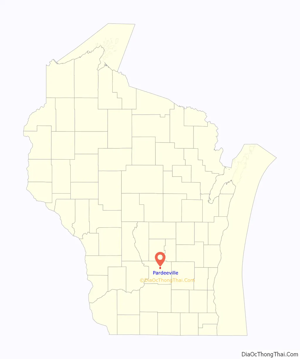
| State: | Wisconsin |
| County: | Columbia County |
| Elevation: | −1,738 ft (247 m) |
| Total Area: | 2.27 sq mi (5.87 km²) |
| Land Area: | 1.92 sq mi (4.98 km²) |
| Water Area: | 0.34 sq mi (0.89 km²) |
| Total Population: | 2,115 |
| Population Density: | 1,073.36/sq mi (414.32/km²) |
| Area code: | 608 |
| FIPS code: | 5561100 |
| GNISfeature ID: | 1571029 |
| Website: | www.villageofpardeeville.net |
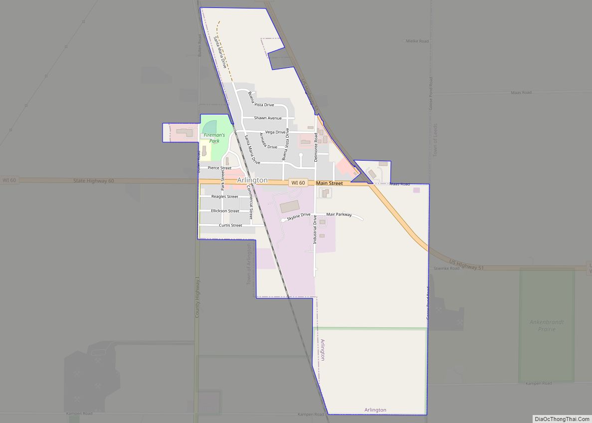
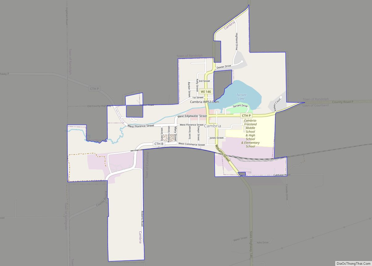
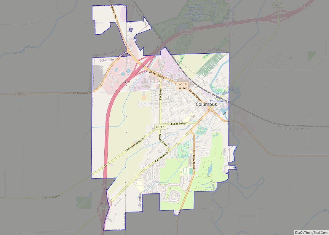
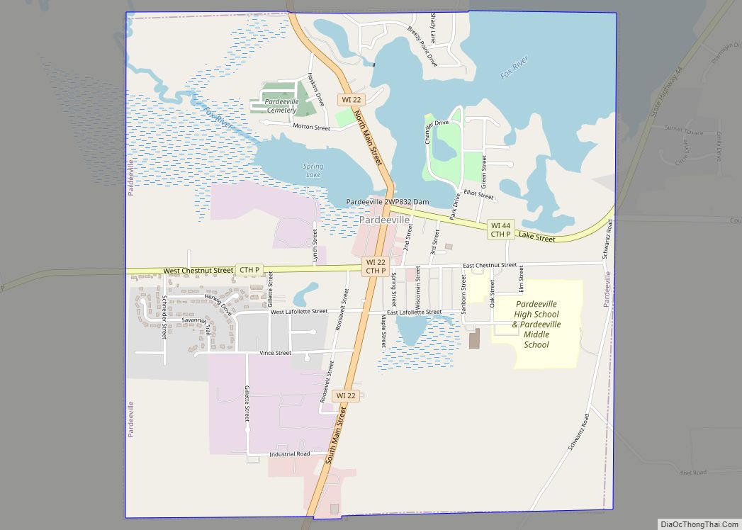
Online Interactive Map
Click on ![]() to view map in "full screen" mode.
to view map in "full screen" mode.
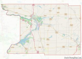
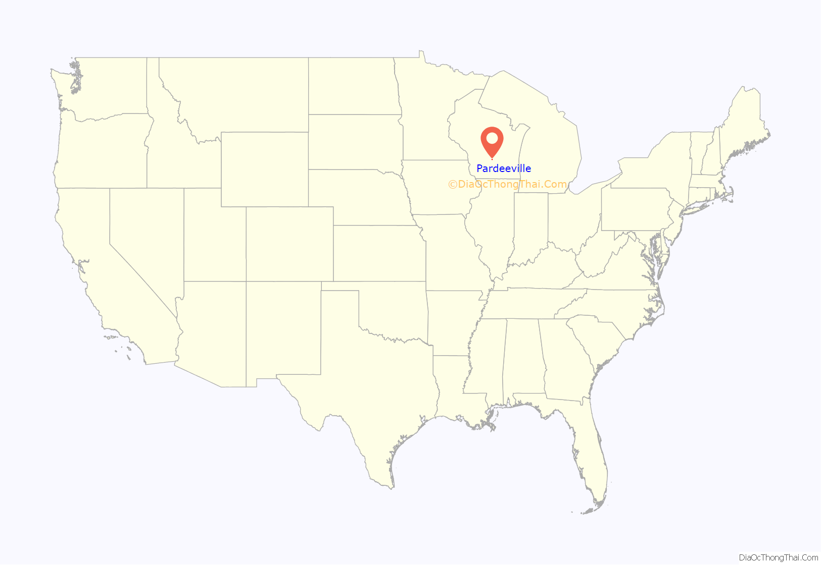
Pardeeville location map. Where is Pardeeville village?
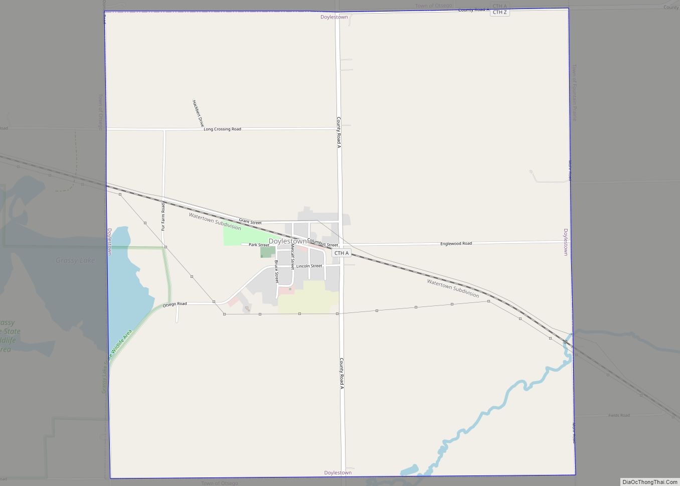
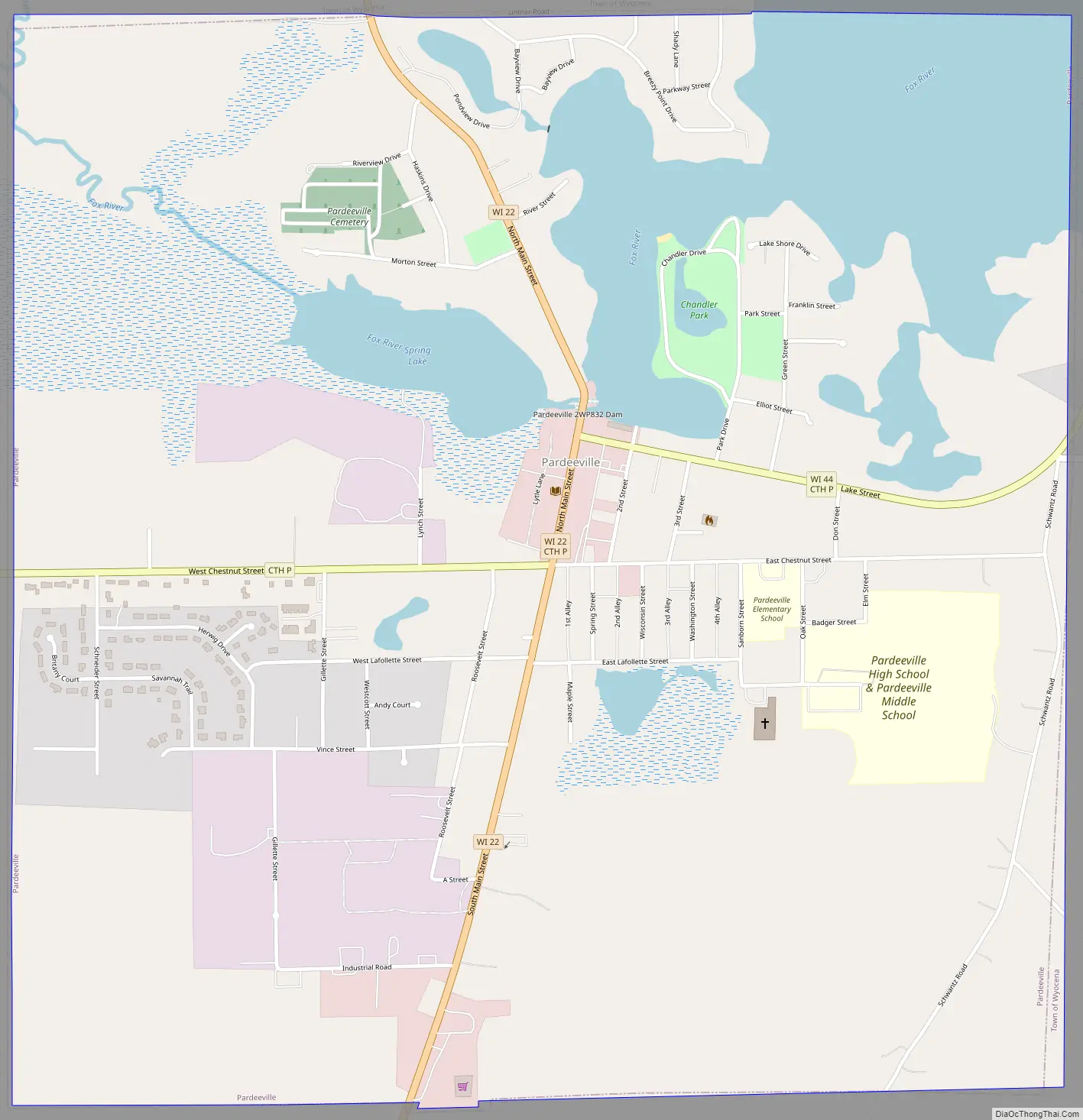
Pardeeville Road Map
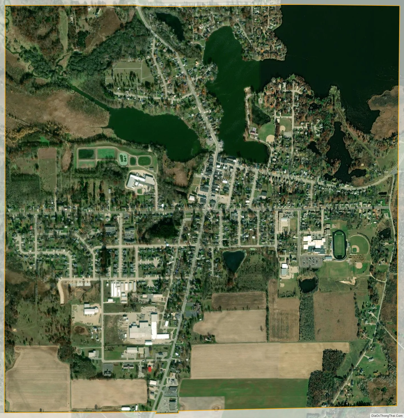
Pardeeville city Satellite Map
Geography
Pardeeville is located at 43°32′12″N 89°17′53″W / 43.53667°N 89.29806°W / 43.53667; -89.29806 (43.536575, -89.298045).
According to the United States Census Bureau, the village has a total area of 2.28 square miles (5.91 km), of which, 1.93 square miles (5.00 km) of it is land and 0.35 square miles (0.91 km) is water.
The Fox River begins as a small stream northeast of Pardeeville. It is dammed in Pardeeville to create Park Lake.
Highways
Pardeeville is served by Wis 22 along Main St and Wis 44 along Lake St. Wis 22 heads north to Montello and south to Wyocena. Wis 22 South also heads toward Madison via US Route 51. Wis 44 heads northeast to Kingston and eventually to Ripon and Oshkosh.
See also
Map of Wisconsin State and its subdivision:- Adams
- Ashland
- Barron
- Bayfield
- Brown
- Buffalo
- Burnett
- Calumet
- Chippewa
- Clark
- Columbia
- Crawford
- Dane
- Dodge
- Door
- Douglas
- Dunn
- Eau Claire
- Florence
- Fond du Lac
- Forest
- Grant
- Green
- Green Lake
- Iowa
- Iron
- Jackson
- Jefferson
- Juneau
- Kenosha
- Kewaunee
- La Crosse
- Lafayette
- Lake Michigan
- Lake Superior
- Langlade
- Lincoln
- Manitowoc
- Marathon
- Marinette
- Marquette
- Menominee
- Milwaukee
- Monroe
- Oconto
- Oneida
- Outagamie
- Ozaukee
- Pepin
- Pierce
- Polk
- Portage
- Price
- Racine
- Richland
- Rock
- Rusk
- Saint Croix
- Sauk
- Sawyer
- Shawano
- Sheboygan
- Taylor
- Trempealeau
- Vernon
- Vilas
- Walworth
- Washburn
- Washington
- Waukesha
- Waupaca
- Waushara
- Winnebago
- Wood
- Alabama
- Alaska
- Arizona
- Arkansas
- California
- Colorado
- Connecticut
- Delaware
- District of Columbia
- Florida
- Georgia
- Hawaii
- Idaho
- Illinois
- Indiana
- Iowa
- Kansas
- Kentucky
- Louisiana
- Maine
- Maryland
- Massachusetts
- Michigan
- Minnesota
- Mississippi
- Missouri
- Montana
- Nebraska
- Nevada
- New Hampshire
- New Jersey
- New Mexico
- New York
- North Carolina
- North Dakota
- Ohio
- Oklahoma
- Oregon
- Pennsylvania
- Rhode Island
- South Carolina
- South Dakota
- Tennessee
- Texas
- Utah
- Vermont
- Virginia
- Washington
- West Virginia
- Wisconsin
- Wyoming