Port Edwards is a town in Wood County, Wisconsin, United States. The population was 1,446 at the 2000 census. The village of Port Edwards is located to the northeast of and adjacent to the town. The town contains the Ho-Chunk community of Ceex Haci.
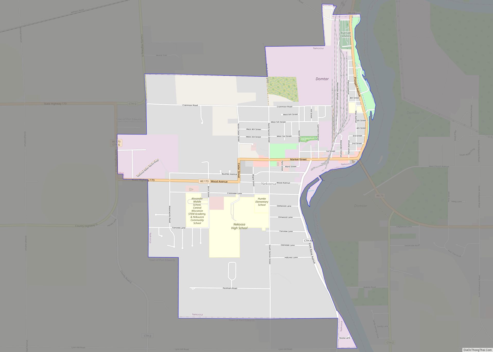
| Name: | Port Edwards village |
|---|---|
| LSAD Code: | 47 |
| LSAD Description: | village (suffix) |
| State: | Wisconsin |
| County: | Wood County |
| Total Area: | 39.2 sq mi (101.6 km²) |
| Land Area: | 38.6 sq mi (100.0 km²) |
| Water Area: | 0.6 sq mi (1.6 km²) |
| Total Population: | 1,446 |
| Population Density: | 37/sq mi (14/km²) |
| Area code: | 715 & 534 |
| FIPS code: | 5564175 |
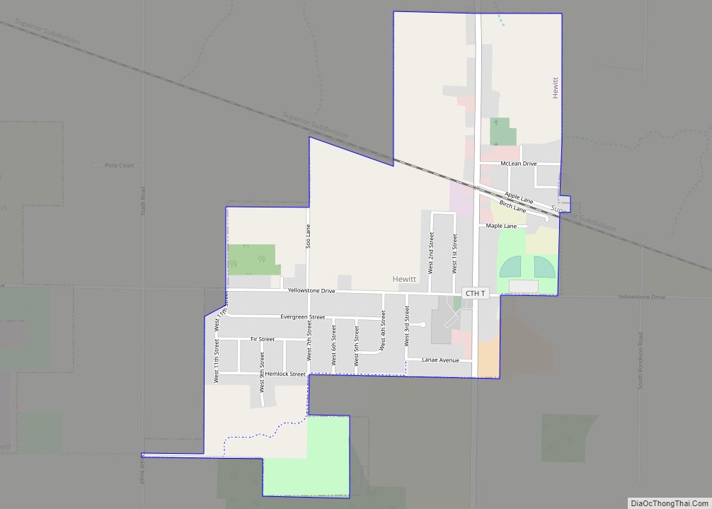
Online Interactive Map
Click on ![]() to view map in "full screen" mode.
to view map in "full screen" mode.
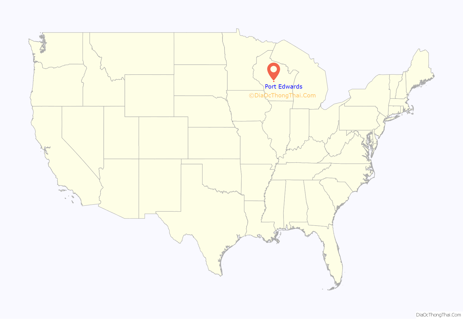
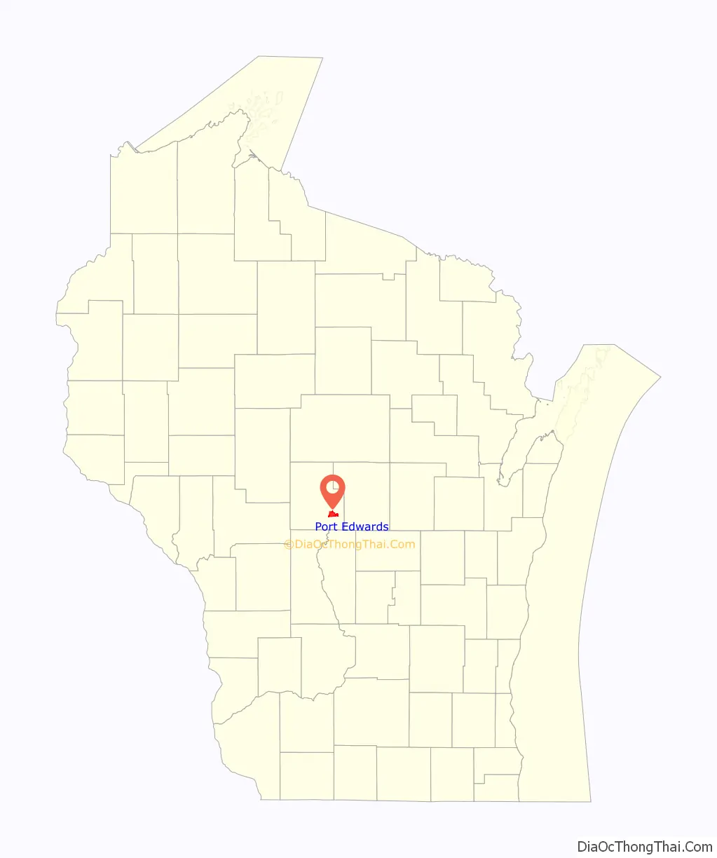
Port Edwards location map. Where is Port Edwards village?
History
The part of the town of Port Edwards within three miles of the Wisconsin River was in the “Indian strip,” sold by the Menominee to the U.S. government in the 1836 Treaty of the Cedars. As such, it was logged and surveyed early. In 1839 a crew working for the U.S. government surveyed what would become parts of Port Edwards, walking through the woods and crossing the river, measuring with chain and compass. In 1851 a different crew surveyed the section lines. For the six mile square that now contains Nekoosa and the village of Port Edwards, they gave this general description:
Port Edwards was established in 1874, taking its name from the village of the same name within its borders.
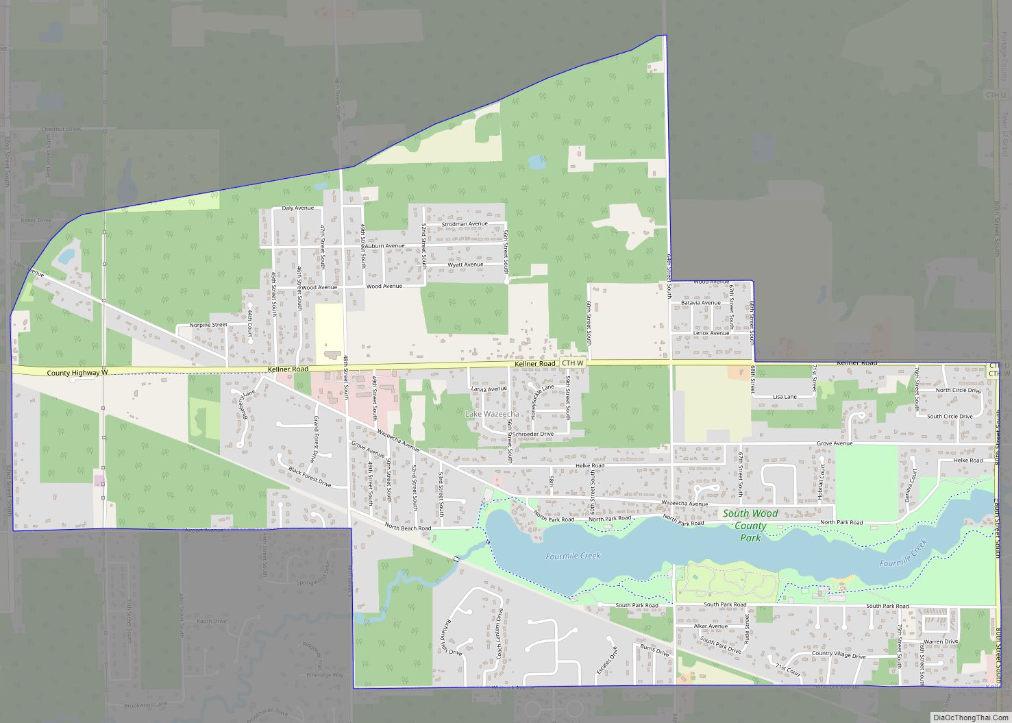
Port Edwards Road Map
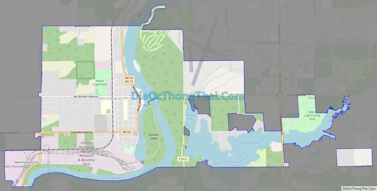
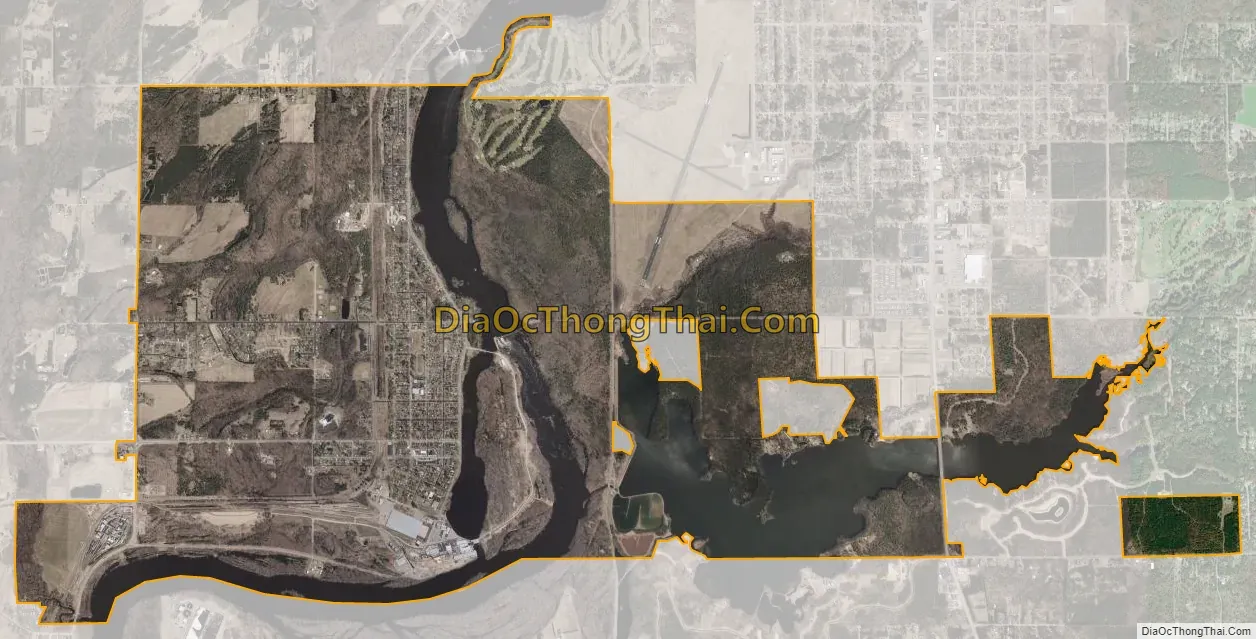
Port Edwards city Satellite Map
Geography
According to the United States Census Bureau, the town has a total area of 39.2 square miles (101.6 km), of which, 38.6 square miles (100.0 km) of it is land and 0.6 square miles (1.6 km) of it (1.58%) is water.
See also
Map of Wisconsin State and its subdivision:- Adams
- Ashland
- Barron
- Bayfield
- Brown
- Buffalo
- Burnett
- Calumet
- Chippewa
- Clark
- Columbia
- Crawford
- Dane
- Dodge
- Door
- Douglas
- Dunn
- Eau Claire
- Florence
- Fond du Lac
- Forest
- Grant
- Green
- Green Lake
- Iowa
- Iron
- Jackson
- Jefferson
- Juneau
- Kenosha
- Kewaunee
- La Crosse
- Lafayette
- Lake Michigan
- Lake Superior
- Langlade
- Lincoln
- Manitowoc
- Marathon
- Marinette
- Marquette
- Menominee
- Milwaukee
- Monroe
- Oconto
- Oneida
- Outagamie
- Ozaukee
- Pepin
- Pierce
- Polk
- Portage
- Price
- Racine
- Richland
- Rock
- Rusk
- Saint Croix
- Sauk
- Sawyer
- Shawano
- Sheboygan
- Taylor
- Trempealeau
- Vernon
- Vilas
- Walworth
- Washburn
- Washington
- Waukesha
- Waupaca
- Waushara
- Winnebago
- Wood
- Alabama
- Alaska
- Arizona
- Arkansas
- California
- Colorado
- Connecticut
- Delaware
- District of Columbia
- Florida
- Georgia
- Hawaii
- Idaho
- Illinois
- Indiana
- Iowa
- Kansas
- Kentucky
- Louisiana
- Maine
- Maryland
- Massachusetts
- Michigan
- Minnesota
- Mississippi
- Missouri
- Montana
- Nebraska
- Nevada
- New Hampshire
- New Jersey
- New Mexico
- New York
- North Carolina
- North Dakota
- Ohio
- Oklahoma
- Oregon
- Pennsylvania
- Rhode Island
- South Carolina
- South Dakota
- Tennessee
- Texas
- Utah
- Vermont
- Virginia
- Washington
- West Virginia
- Wisconsin
- Wyoming