Prairie du Sac is a village in Sauk County, Wisconsin, United States. The population was 4,420 at the 2020 census. The village is surrounded by the Town of Prairie du Sac, the Wisconsin River, and the village of Sauk City; together, Prairie du Sac and Sauk City are referred to as Sauk Prairie.
| Name: | Prairie du Sac village |
|---|---|
| LSAD Code: | 47 |
| LSAD Description: | village (suffix) |
| State: | Wisconsin |
| County: | Sauk County |
| Elevation: | 768 ft (234 m) |
| Total Area: | 1.94 sq mi (5.03 km²) |
| Land Area: | 1.82 sq mi (4.72 km²) |
| Water Area: | 0.12 sq mi (0.31 km²) |
| Total Population: | 4,420 |
| Population Density: | 2,430.61/sq mi (938.41/km²) |
| Area code: | 608 |
| FIPS code: | 5565100 |
| GNISfeature ID: | 1571875 |
| Website: | http://www.prairiedusac.net |
Online Interactive Map
Click on ![]() to view map in "full screen" mode.
to view map in "full screen" mode.
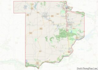
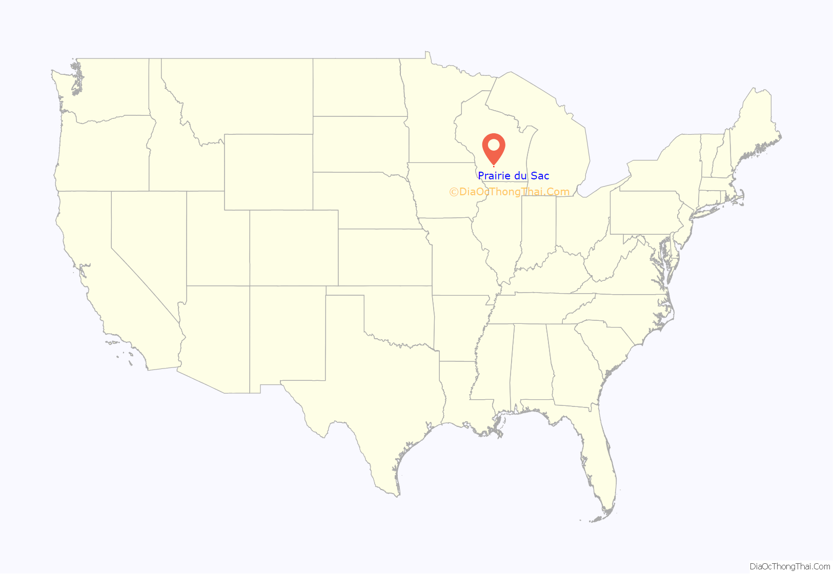
Prairie du Sac location map. Where is Prairie du Sac village?

History
Prairie du Sac was so named because it was in the large Wisconsin River Valley where the Sauk Indians had a large settlement. Although the name of the village dates from the early days of French fur traders, Prairie du Sac was established as a village by D.B. Crocker in 1840, largely as a Yankee-English village, in contrast to its neighbor, Sauk City, which was settled largely by Germans.
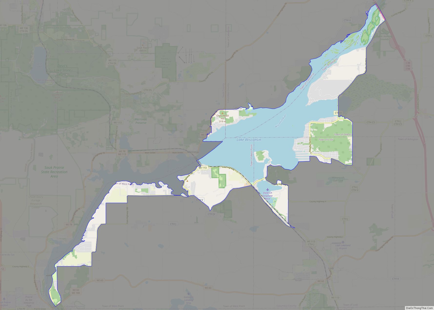
The hydroelectric Prairie du Sac Dam was completed just north of the village in 1914, creating Lake Wisconsin.
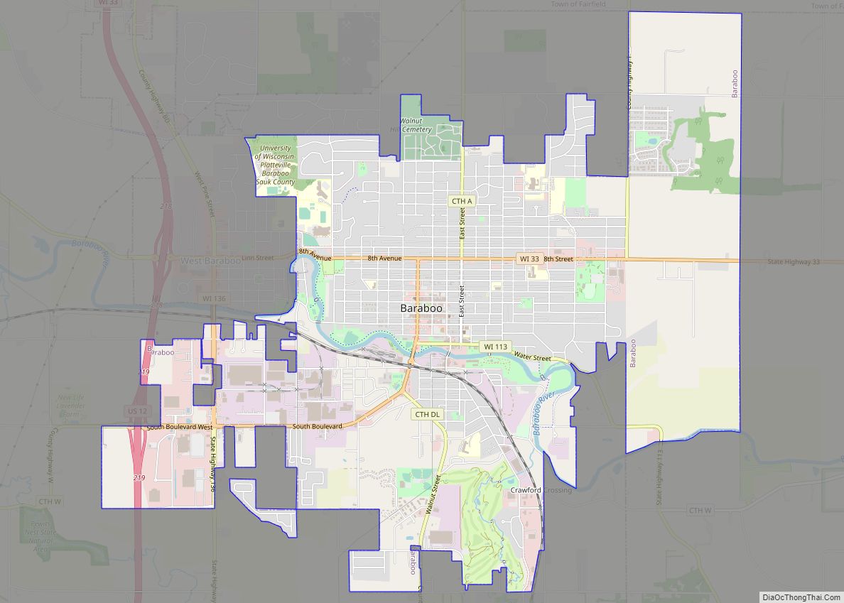
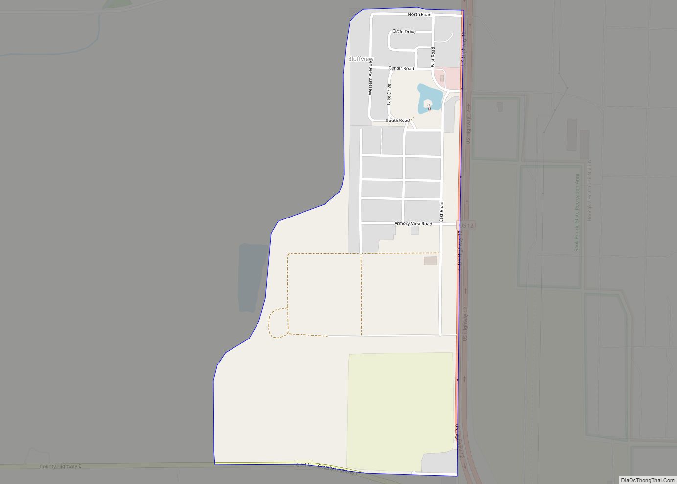
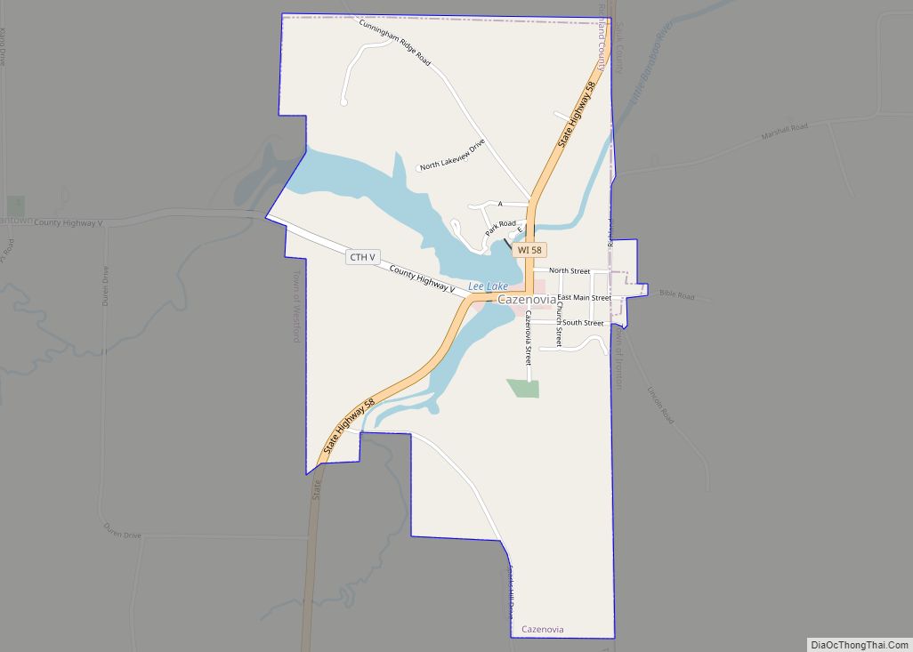
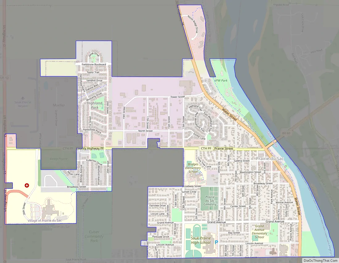
Prairie du Sac Road Map
Prairie du Sac city Satellite Map
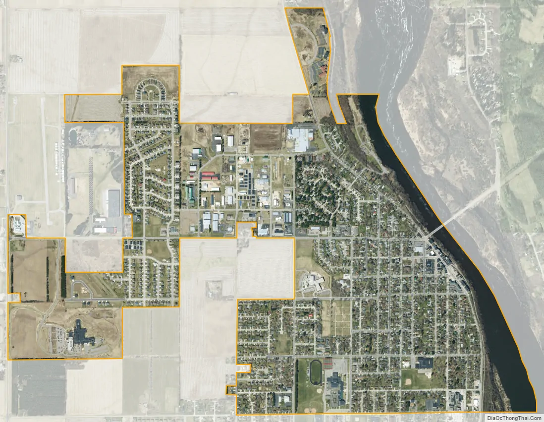
Geography
Prairie du Sac is located at 43°17′23″N 89°43′42″W / 43.28972°N 89.72833°W / 43.28972; -89.72833 (43.289833, -89.728524).
According to the United States Census Bureau, the village has a total area of 1.94 square miles (5.02 km), of which, 1.82 square miles (4.71 km) of it is land and 0.12 square miles (0.31 km) is water.
See also
Map of Wisconsin State and its subdivision:- Adams
- Ashland
- Barron
- Bayfield
- Brown
- Buffalo
- Burnett
- Calumet
- Chippewa
- Clark
- Columbia
- Crawford
- Dane
- Dodge
- Door
- Douglas
- Dunn
- Eau Claire
- Florence
- Fond du Lac
- Forest
- Grant
- Green
- Green Lake
- Iowa
- Iron
- Jackson
- Jefferson
- Juneau
- Kenosha
- Kewaunee
- La Crosse
- Lafayette
- Lake Michigan
- Lake Superior
- Langlade
- Lincoln
- Manitowoc
- Marathon
- Marinette
- Marquette
- Menominee
- Milwaukee
- Monroe
- Oconto
- Oneida
- Outagamie
- Ozaukee
- Pepin
- Pierce
- Polk
- Portage
- Price
- Racine
- Richland
- Rock
- Rusk
- Saint Croix
- Sauk
- Sawyer
- Shawano
- Sheboygan
- Taylor
- Trempealeau
- Vernon
- Vilas
- Walworth
- Washburn
- Washington
- Waukesha
- Waupaca
- Waushara
- Winnebago
- Wood
- Alabama
- Alaska
- Arizona
- Arkansas
- California
- Colorado
- Connecticut
- Delaware
- District of Columbia
- Florida
- Georgia
- Hawaii
- Idaho
- Illinois
- Indiana
- Iowa
- Kansas
- Kentucky
- Louisiana
- Maine
- Maryland
- Massachusetts
- Michigan
- Minnesota
- Mississippi
- Missouri
- Montana
- Nebraska
- Nevada
- New Hampshire
- New Jersey
- New Mexico
- New York
- North Carolina
- North Dakota
- Ohio
- Oklahoma
- Oregon
- Pennsylvania
- Rhode Island
- South Carolina
- South Dakota
- Tennessee
- Texas
- Utah
- Vermont
- Virginia
- Washington
- West Virginia
- Wisconsin
- Wyoming