The Town of Rudolph is located in Wood County, Wisconsin, in the United States. As of the 2000 census, the town population was 1,161. The Village of Rudolph is located within the town.
| Name: | Rudolph village |
|---|---|
| LSAD Code: | 47 |
| LSAD Description: | village (suffix) |
| State: | Wisconsin |
| County: | Wood County |
| Total Area: | 29.7 sq mi (77.0 km²) |
| Land Area: | 29.7 sq mi (76.9 km²) |
| Water Area: | 0.04 sq mi (0.1 km²) |
| Total Population: | 1,161 |
| Population Density: | 39/sq mi (15/km²) |
| Area code: | 715 & 534 |
| FIPS code: | 5570000 |
Online Interactive Map
Click on ![]() to view map in "full screen" mode.
to view map in "full screen" mode.
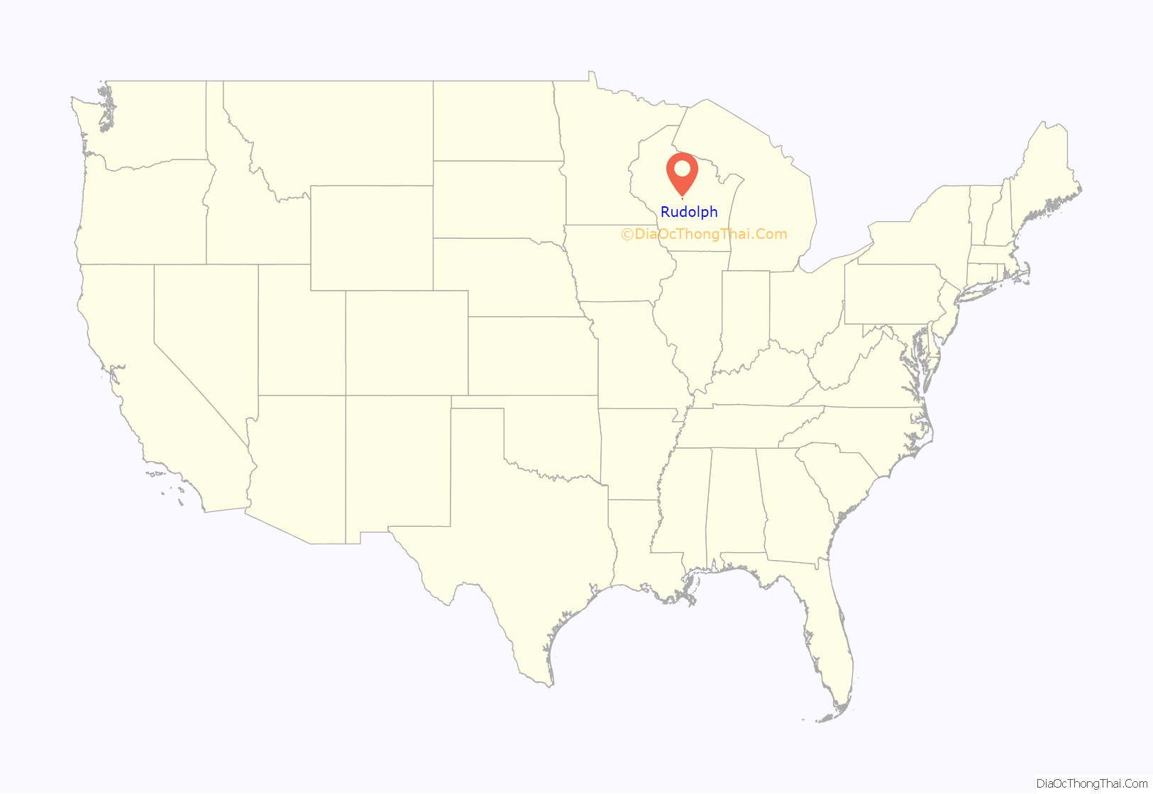
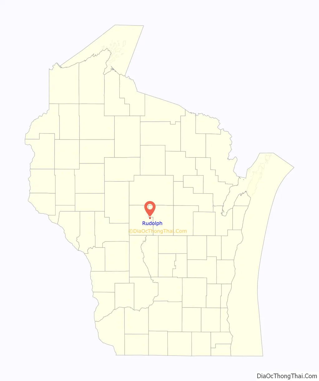
Rudolph location map. Where is Rudolph village?
History
The part of the town within three miles of the Wisconsin River was in the “Indian strip,” sold by the Menominees to the U.S. government in the 1836 Treaty of the Cedars. As such, it was logged and surveyed early. In 1840 a crew working for the U.S. government surveyed that southern half of the six mile square that would become the town of Rudolph, walking through the woods and crossing the river, measuring with chain and compass. When done, the deputy surveyor filed this general description:
The mill and bog iron were actually on the south side of the river, in what would become Biron.
In 1851 another crew surveyed the section lines of the north half of what would become the town of Rudolph, producing this general description:
The town of Rudolph was established in 1856, and named after Frederick Rudolph Hecox, the first white child born within its borders.
Rudolph Road Map
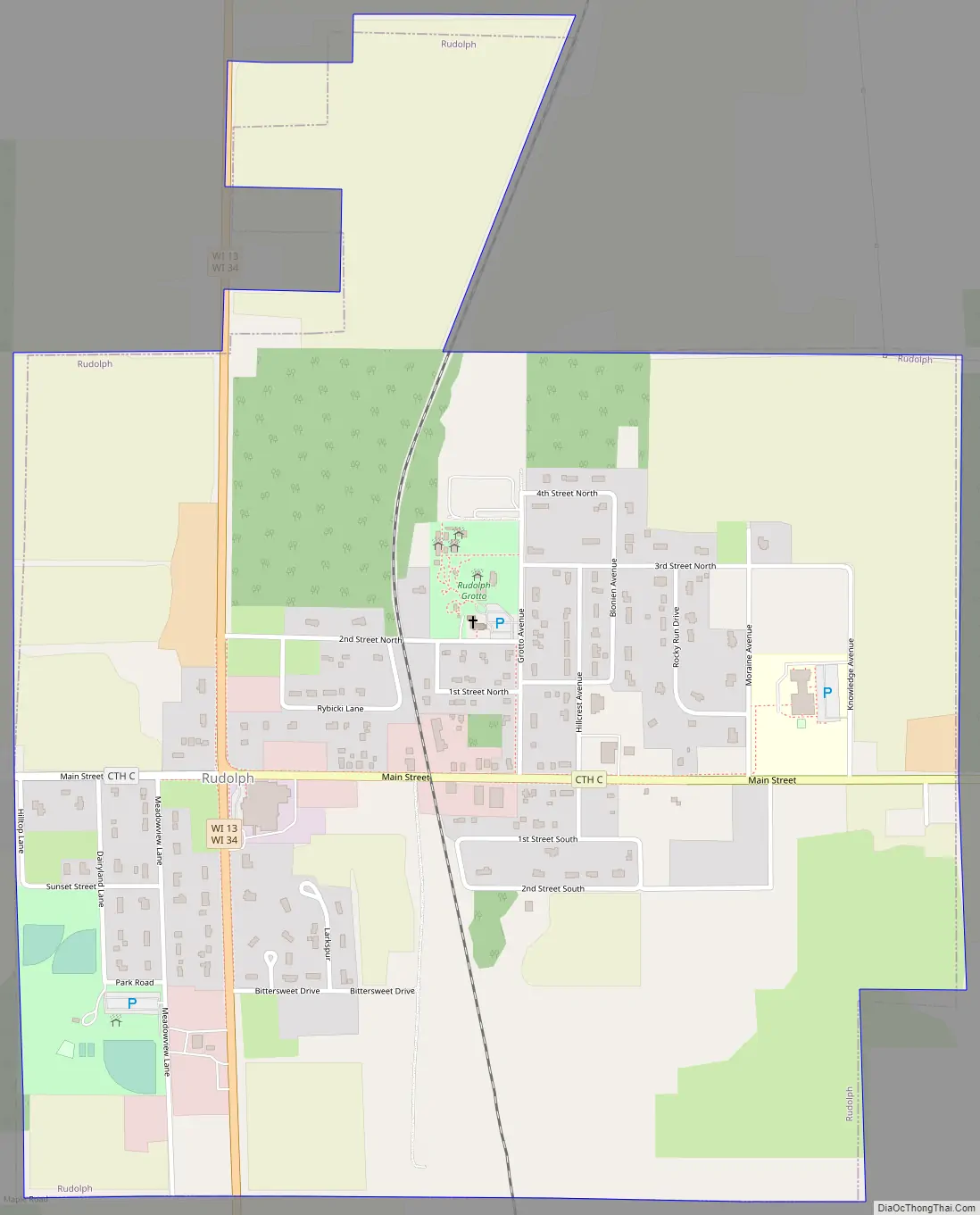
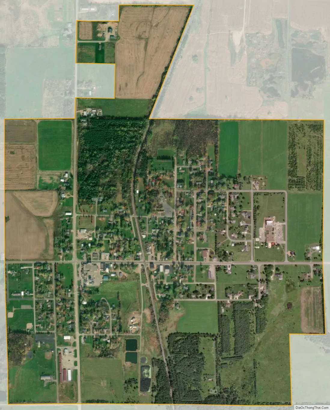
Rudolph city Satellite Map
Geography
According to the United States Census Bureau, the town has a total area of 29.7 square miles (77.0 km), of which, 29.7 square miles (76.9 km) of it is land and 0.04 square miles (0.1 km) of it (0.13%) is water.
See also
Map of Wisconsin State and its subdivision:- Adams
- Ashland
- Barron
- Bayfield
- Brown
- Buffalo
- Burnett
- Calumet
- Chippewa
- Clark
- Columbia
- Crawford
- Dane
- Dodge
- Door
- Douglas
- Dunn
- Eau Claire
- Florence
- Fond du Lac
- Forest
- Grant
- Green
- Green Lake
- Iowa
- Iron
- Jackson
- Jefferson
- Juneau
- Kenosha
- Kewaunee
- La Crosse
- Lafayette
- Lake Michigan
- Lake Superior
- Langlade
- Lincoln
- Manitowoc
- Marathon
- Marinette
- Marquette
- Menominee
- Milwaukee
- Monroe
- Oconto
- Oneida
- Outagamie
- Ozaukee
- Pepin
- Pierce
- Polk
- Portage
- Price
- Racine
- Richland
- Rock
- Rusk
- Saint Croix
- Sauk
- Sawyer
- Shawano
- Sheboygan
- Taylor
- Trempealeau
- Vernon
- Vilas
- Walworth
- Washburn
- Washington
- Waukesha
- Waupaca
- Waushara
- Winnebago
- Wood
- Alabama
- Alaska
- Arizona
- Arkansas
- California
- Colorado
- Connecticut
- Delaware
- District of Columbia
- Florida
- Georgia
- Hawaii
- Idaho
- Illinois
- Indiana
- Iowa
- Kansas
- Kentucky
- Louisiana
- Maine
- Maryland
- Massachusetts
- Michigan
- Minnesota
- Mississippi
- Missouri
- Montana
- Nebraska
- Nevada
- New Hampshire
- New Jersey
- New Mexico
- New York
- North Carolina
- North Dakota
- Ohio
- Oklahoma
- Oregon
- Pennsylvania
- Rhode Island
- South Carolina
- South Dakota
- Tennessee
- Texas
- Utah
- Vermont
- Virginia
- Washington
- West Virginia
- Wisconsin
- Wyoming