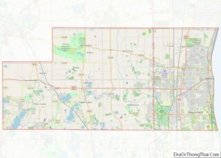
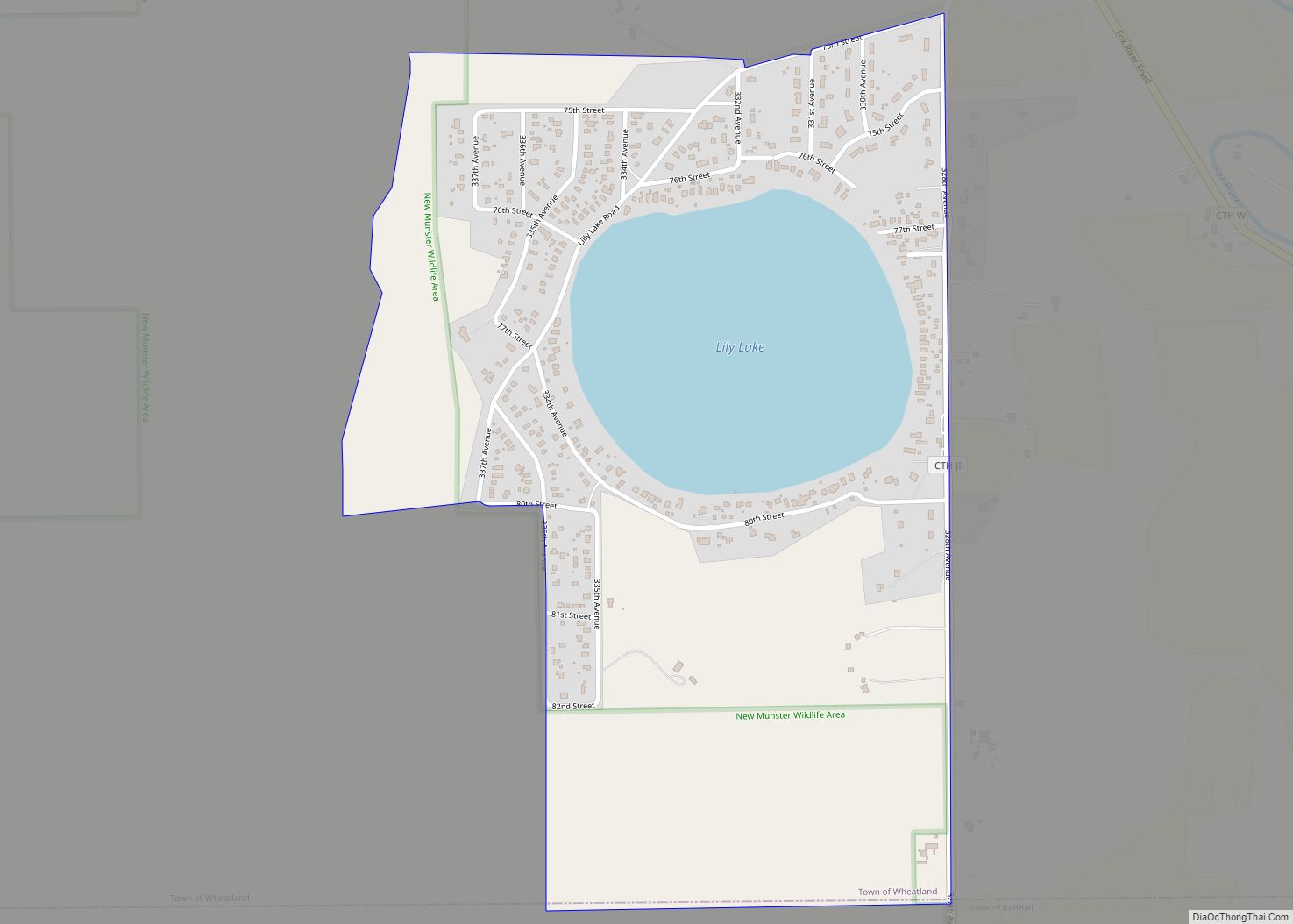
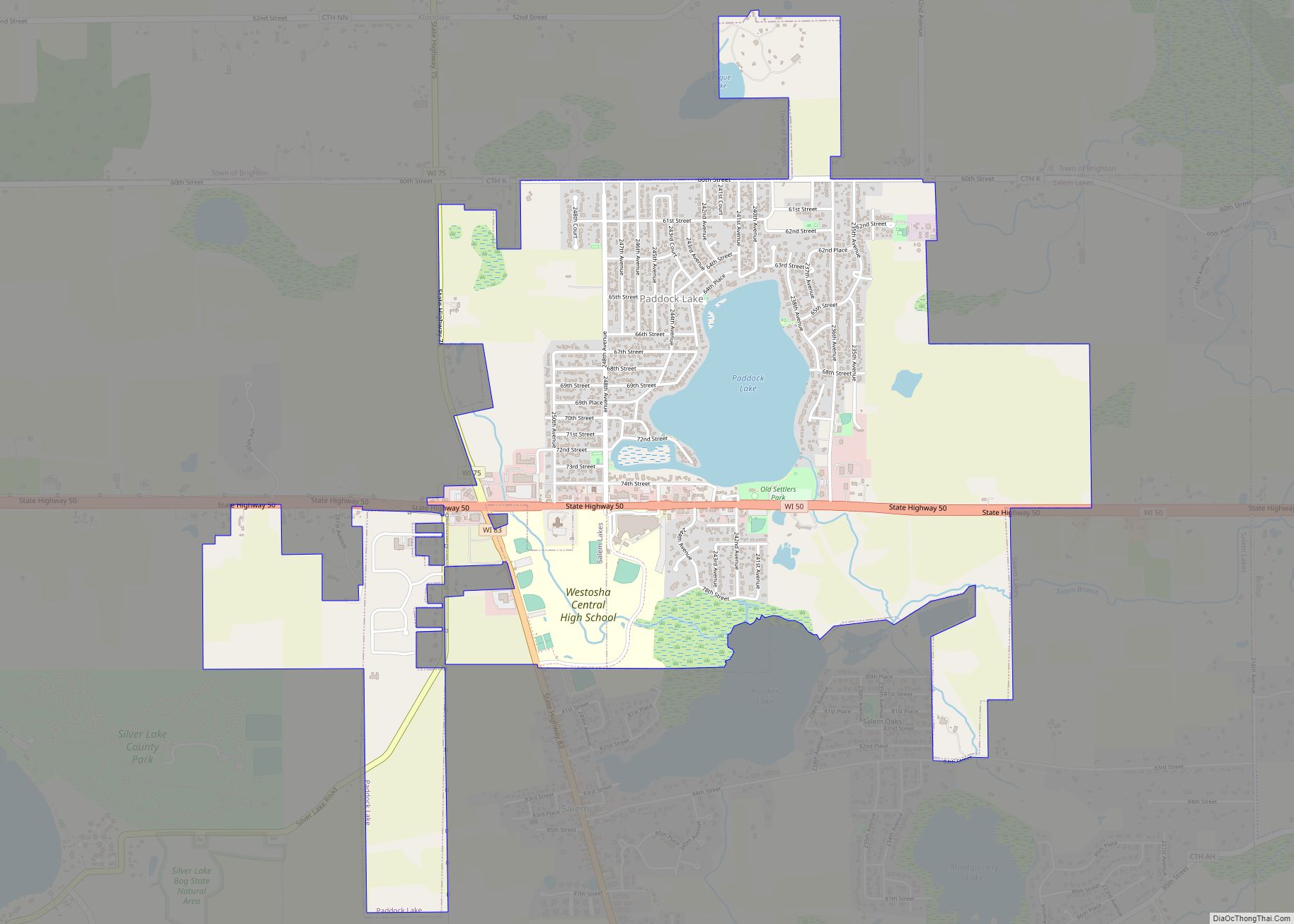
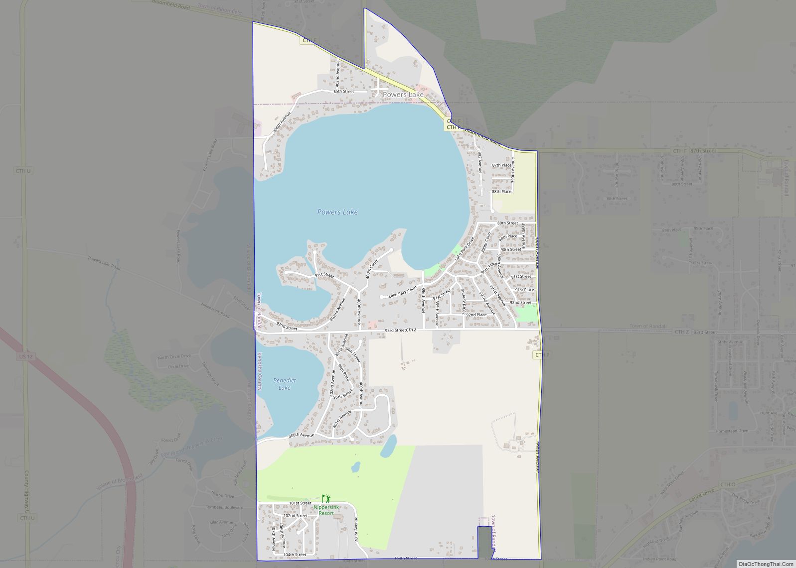
Salem Lakes, formerly the town of Salem and the village of Silver Lake, is a village in Kenosha County, Wisconsin, United States. The village was created by a municipal merger on February 14, 2017. The population was 14,601 at the 2020 census. The communities of Benet Lake, Camp Lake, Cross Lake, Fox River, Lake Shangrila, Liberty Corners, Salem, Salem Oaks, Silver Lake, Trevor, Voltz Lake, and Wilmot are wholly or partially located in the village.
| Name: | Salem Lakes village |
|---|---|
| LSAD Code: | 47 |
| LSAD Description: | village (suffix) |
| State: | Wisconsin |
| County: | Kenosha County |
| Elevation: | 741 ft (226 m) |
| Total Area: | 33.29 sq mi (86.22 km²) |
| Land Area: | 30.48 sq mi (78.95 km²) |
| Water Area: | 2.81 sq mi (7.27 km²) |
| Total Population: | 14,601 |
| Population Density: | 487.24/sq mi (188.12/km²) |
| Area code: | 262 |
| FIPS code: | 5571163 |
| GNISfeature ID: | 1584093 |
| Website: | villageofsalemlakes.org |
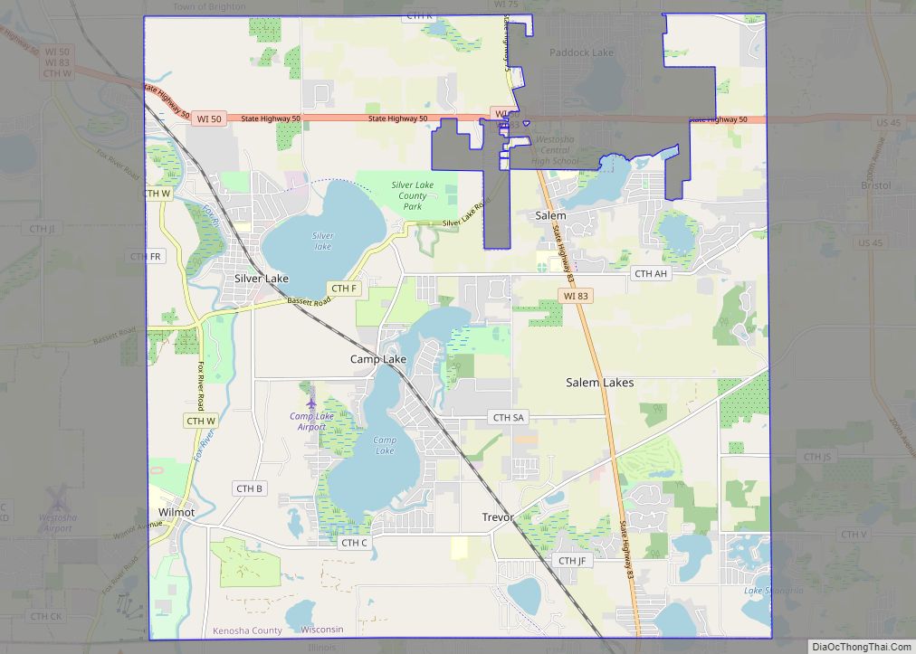
Online Interactive Map
Click on ![]() to view map in "full screen" mode.
to view map in "full screen" mode.
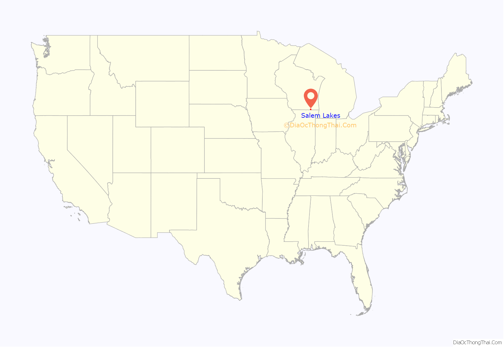
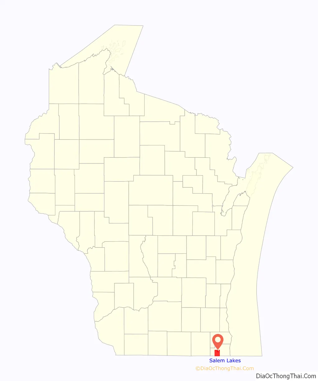
Salem Lakes location map. Where is Salem Lakes village?
History
In June 1837, John Dodge became the first settler in Salem proper. Shortly thereafter, General Bullen and David Bullen settled on the east bank of the Fox River and surveyed and platted a village, hoping to make Salem a main head of Fox River navigation. A bridge spanning the river was called “Bullen’s Bridge”.
On February 14, 2017, Salem Lakes became a village, which included the village of Silver Lake, as well as the communities of Trevor, Wilmot, and Camp Lake.
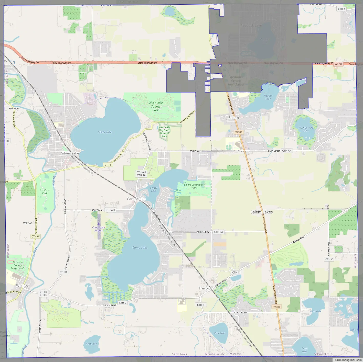
Salem Lakes Road Map
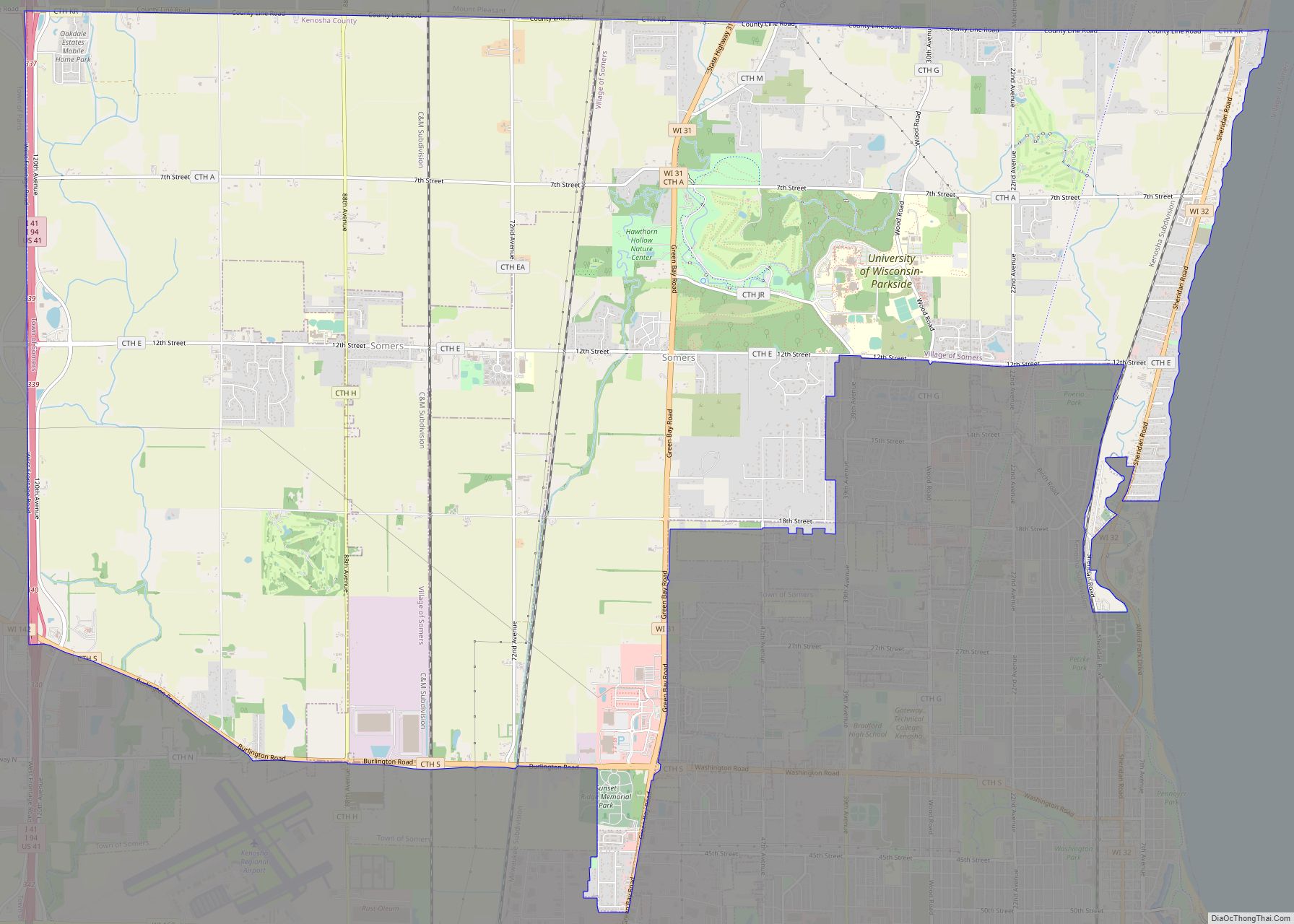
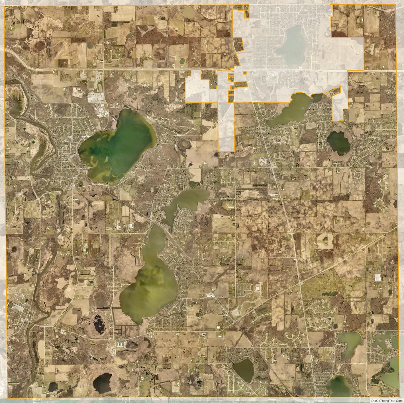
Salem Lakes city Satellite Map
Geography
According to the United States Census Bureau, the town in 2010 had a total area of 32.4 square miles (83.9 km), of which 29.7 square miles (76.9 km) were land and 2.7 square miles (7.0 km, or 8.34%) were water.
See also
Map of Wisconsin State and its subdivision:- Adams
- Ashland
- Barron
- Bayfield
- Brown
- Buffalo
- Burnett
- Calumet
- Chippewa
- Clark
- Columbia
- Crawford
- Dane
- Dodge
- Door
- Douglas
- Dunn
- Eau Claire
- Florence
- Fond du Lac
- Forest
- Grant
- Green
- Green Lake
- Iowa
- Iron
- Jackson
- Jefferson
- Juneau
- Kenosha
- Kewaunee
- La Crosse
- Lafayette
- Lake Michigan
- Lake Superior
- Langlade
- Lincoln
- Manitowoc
- Marathon
- Marinette
- Marquette
- Menominee
- Milwaukee
- Monroe
- Oconto
- Oneida
- Outagamie
- Ozaukee
- Pepin
- Pierce
- Polk
- Portage
- Price
- Racine
- Richland
- Rock
- Rusk
- Saint Croix
- Sauk
- Sawyer
- Shawano
- Sheboygan
- Taylor
- Trempealeau
- Vernon
- Vilas
- Walworth
- Washburn
- Washington
- Waukesha
- Waupaca
- Waushara
- Winnebago
- Wood
- Alabama
- Alaska
- Arizona
- Arkansas
- California
- Colorado
- Connecticut
- Delaware
- District of Columbia
- Florida
- Georgia
- Hawaii
- Idaho
- Illinois
- Indiana
- Iowa
- Kansas
- Kentucky
- Louisiana
- Maine
- Maryland
- Massachusetts
- Michigan
- Minnesota
- Mississippi
- Missouri
- Montana
- Nebraska
- Nevada
- New Hampshire
- New Jersey
- New Mexico
- New York
- North Carolina
- North Dakota
- Ohio
- Oklahoma
- Oregon
- Pennsylvania
- Rhode Island
- South Carolina
- South Dakota
- Tennessee
- Texas
- Utah
- Vermont
- Virginia
- Washington
- West Virginia
- Wisconsin
- Wyoming