Sheboygan Falls is a city in Sheboygan County, Wisconsin, United States. Its population was 8,210 at the 2020 census. The city’s downtown is listed on the National Register of Historic Places and is the first Main Street Community in Wisconsin. The city is part of the Sheboygan, Wisconsin Metropolitan Statistical Area.
| Name: | Sheboygan Falls city |
|---|---|
| LSAD Code: | 25 |
| LSAD Description: | city (suffix) |
| State: | Wisconsin |
| County: | Sheboygan County |
| Incorporated: | 1913 |
| Elevation: | 659 ft (200 m) |
| Total Area: | 5.53 sq mi (14.33 km²) |
| Land Area: | 5.39 sq mi (13.97 km²) |
| Water Area: | 0.14 sq mi (0.36 km²) |
| Total Population: | 8,210 |
| Population Density: | 1,500/sq mi (570/km²) |
| ZIP code: | 53085 |
| Area code: | 920 |
| FIPS code: | 5573025 |
| Website: | sheboyganfallswi.gov |
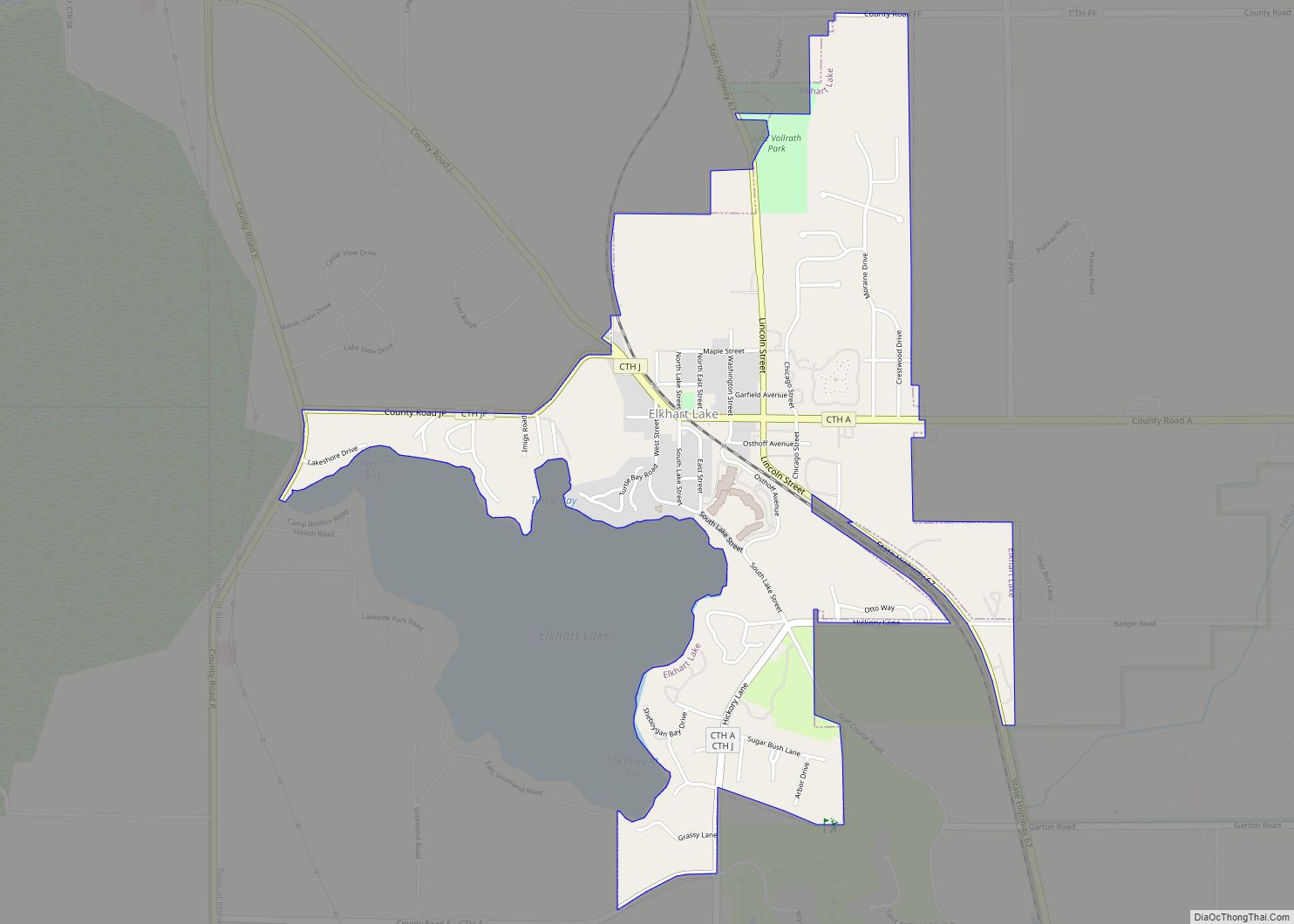
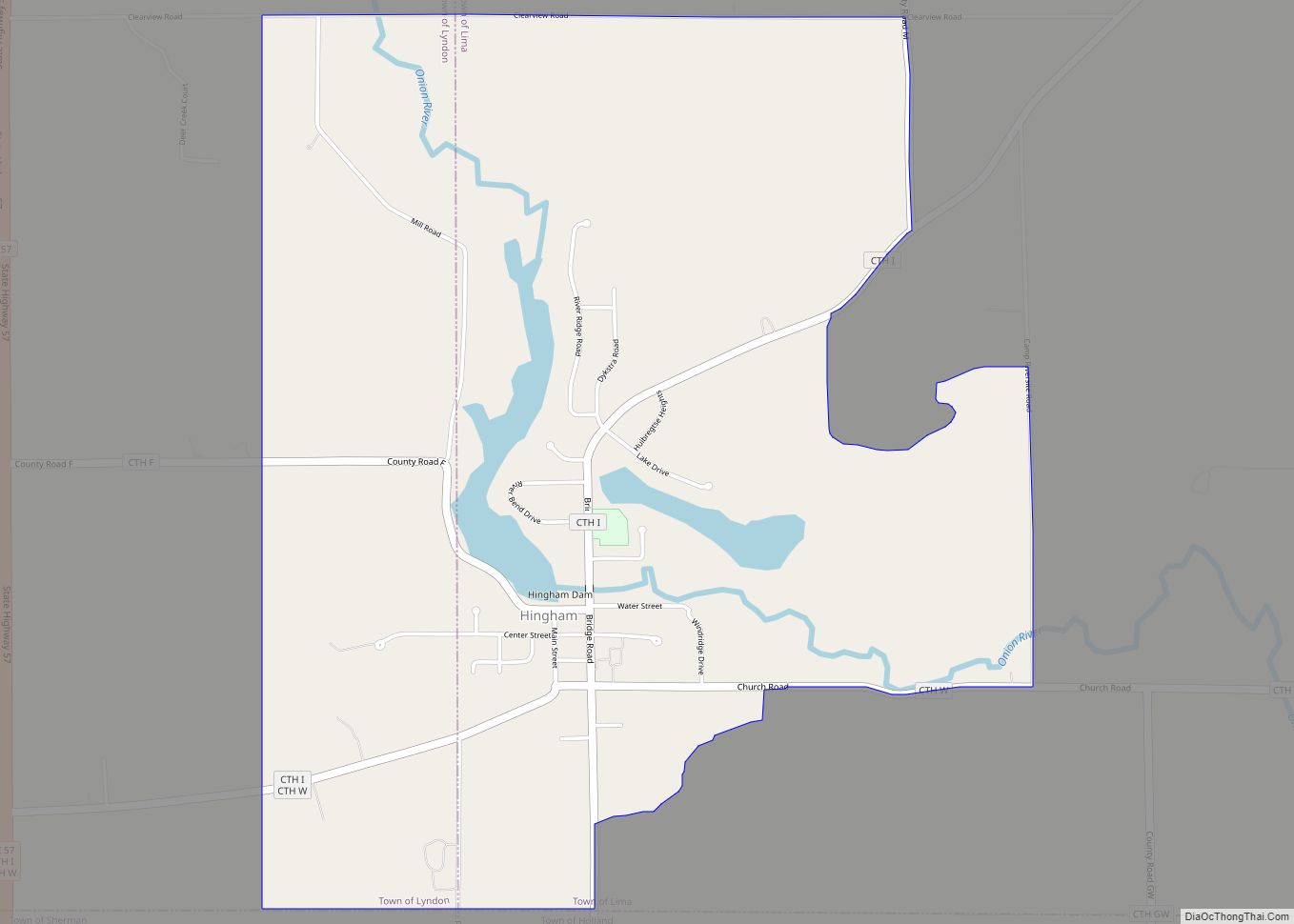
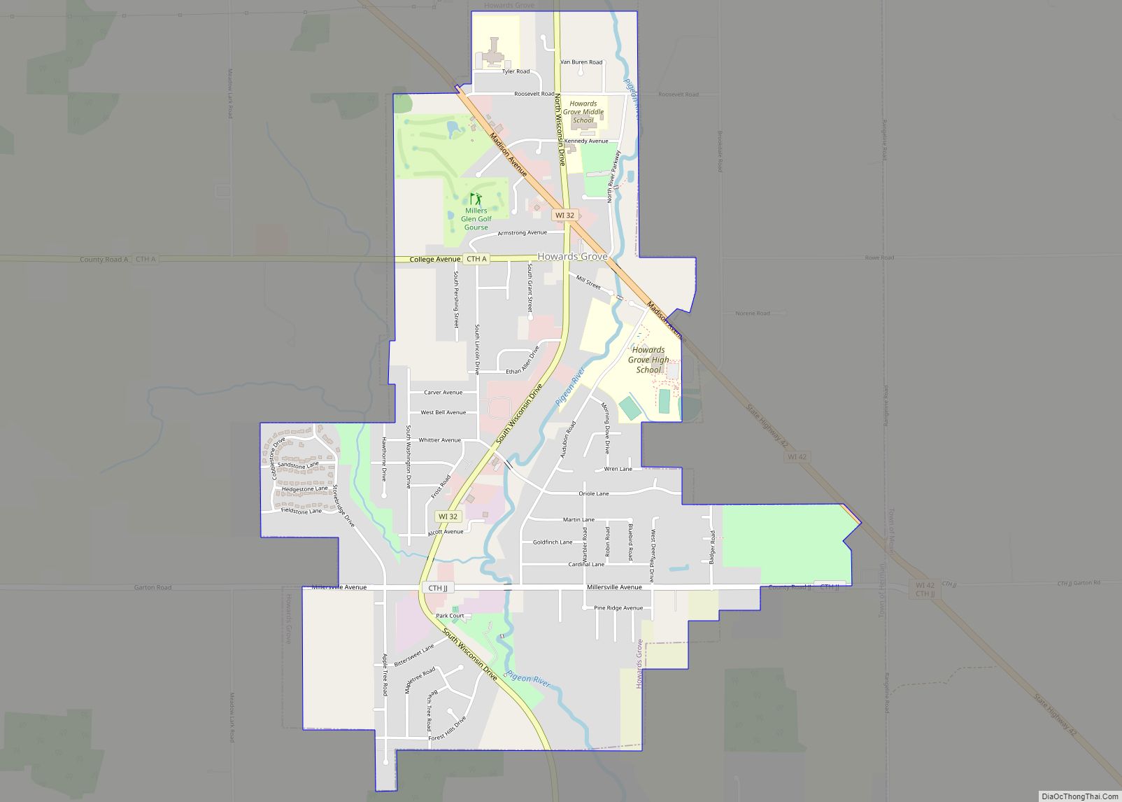
Online Interactive Map
Click on ![]() to view map in "full screen" mode.
to view map in "full screen" mode.
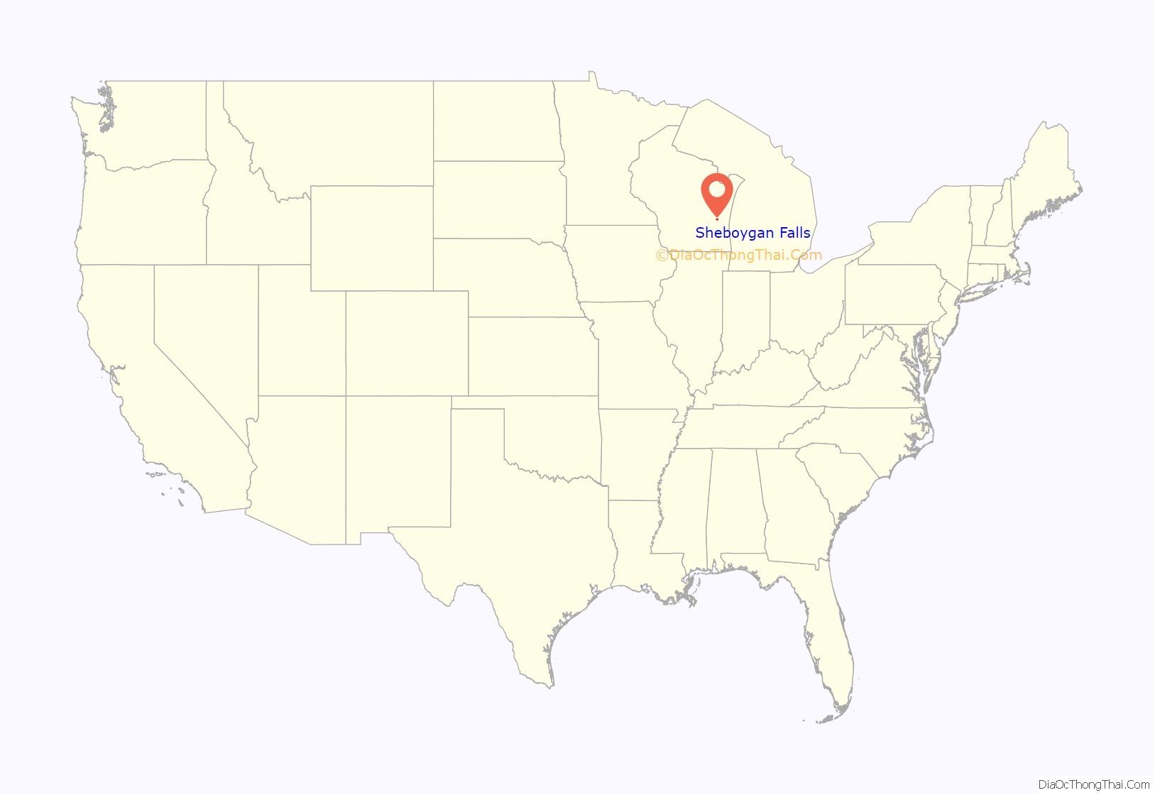
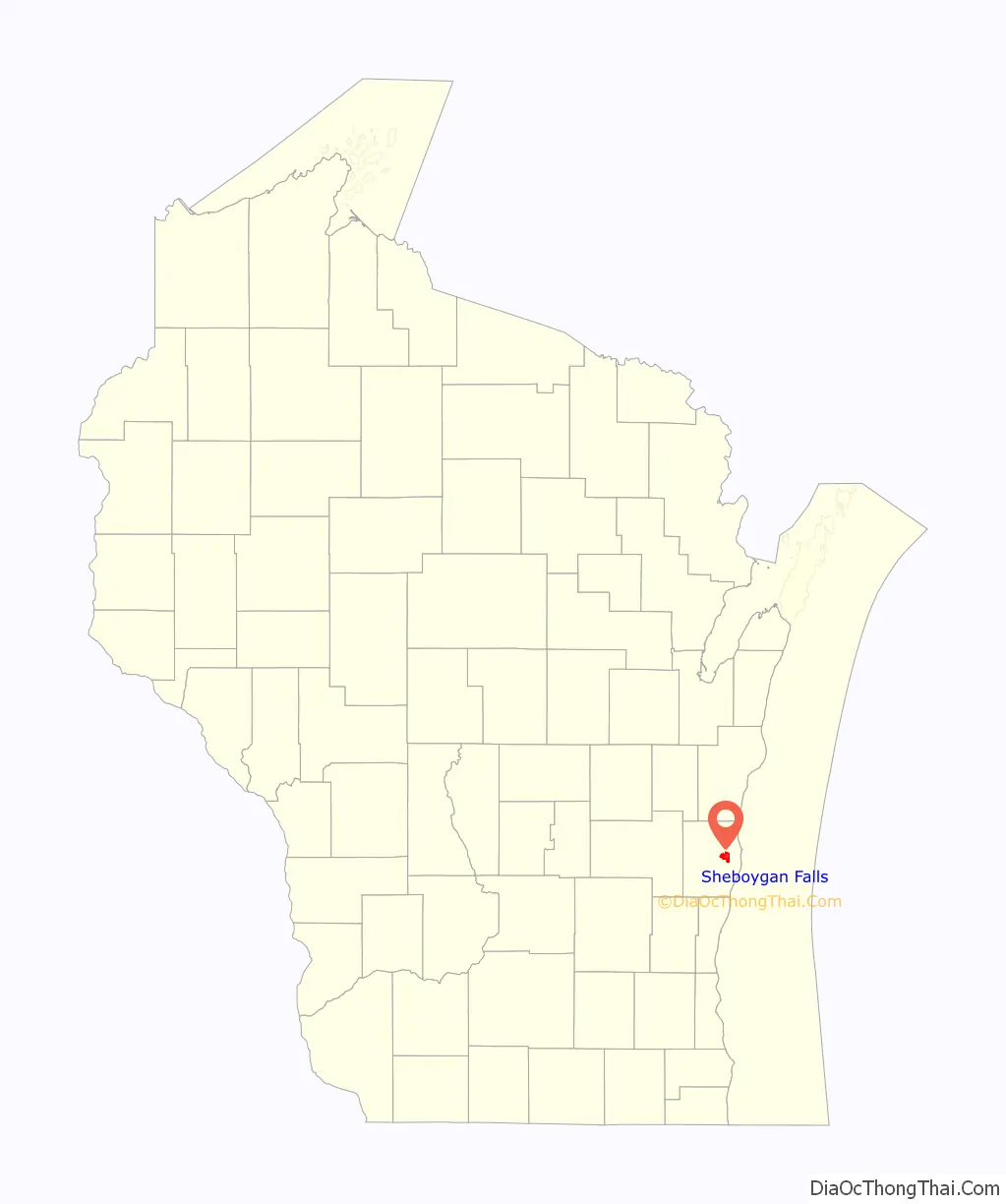
Sheboygan Falls location map. Where is Sheboygan Falls city?
History
Sheboygan Falls took its name from the nearby falls on the Sheboygan River. The city was called Rochester for a brief time; the name was changed because a community in Racine County already held the same name.
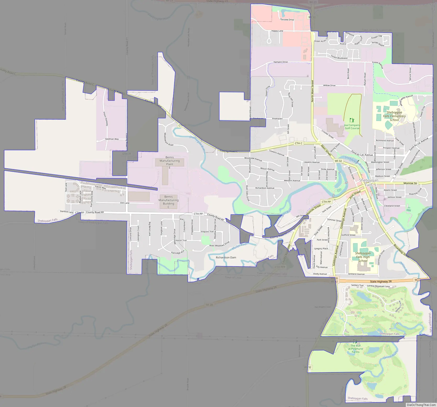
Sheboygan Falls Road Map
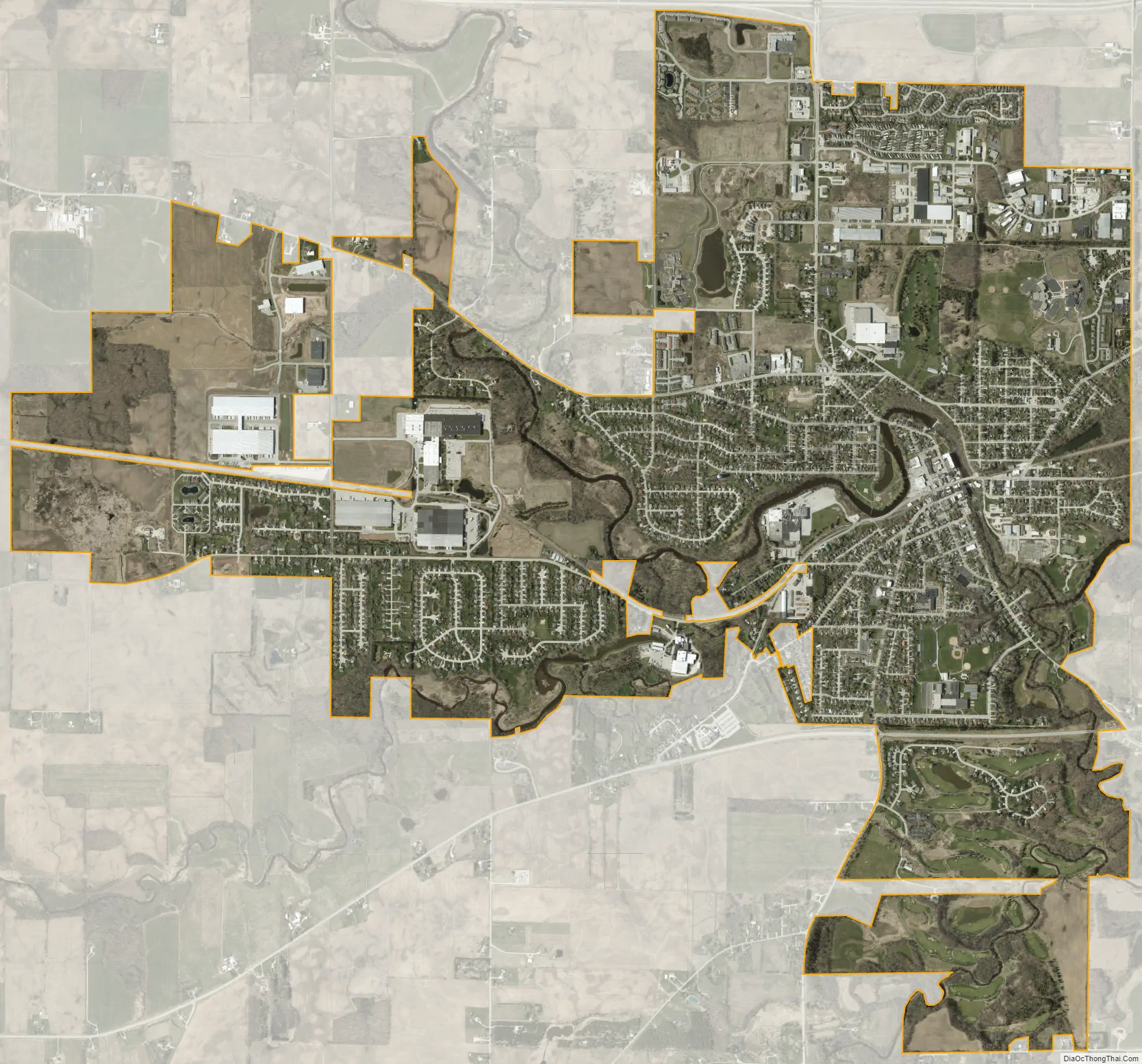
Sheboygan Falls city Satellite Map
Geography
Sheboygan Falls is located along the Sheboygan River between its confluences with the Mullet and Onion Rivers near Lake Michigan. Rapids and a dam, which once supplied hydroelectric energy, prohibit most water transportation through the city.
According to the United States Census Bureau, the city has a total area of 5.41 square miles (14.01 km), of which, 5.28 square miles (13.68 km) is land and 0.13 square miles (0.34 km) is water.
See also
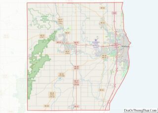
Map of Wisconsin State and its subdivision:- Adams
- Ashland
- Barron
- Bayfield
- Brown
- Buffalo
- Burnett
- Calumet
- Chippewa
- Clark
- Columbia
- Crawford
- Dane
- Dodge
- Door
- Douglas
- Dunn
- Eau Claire
- Florence
- Fond du Lac
- Forest
- Grant
- Green
- Green Lake
- Iowa
- Iron
- Jackson
- Jefferson
- Juneau
- Kenosha
- Kewaunee
- La Crosse
- Lafayette
- Lake Michigan
- Lake Superior
- Langlade
- Lincoln
- Manitowoc
- Marathon
- Marinette
- Marquette
- Menominee
- Milwaukee
- Monroe
- Oconto
- Oneida
- Outagamie
- Ozaukee
- Pepin
- Pierce
- Polk
- Portage
- Price
- Racine
- Richland
- Rock
- Rusk
- Saint Croix
- Sauk
- Sawyer
- Shawano
- Sheboygan
- Taylor
- Trempealeau
- Vernon
- Vilas
- Walworth
- Washburn
- Washington
- Waukesha
- Waupaca
- Waushara
- Winnebago
- Wood
- Alabama
- Alaska
- Arizona
- Arkansas
- California
- Colorado
- Connecticut
- Delaware
- District of Columbia
- Florida
- Georgia
- Hawaii
- Idaho
- Illinois
- Indiana
- Iowa
- Kansas
- Kentucky
- Louisiana
- Maine
- Maryland
- Massachusetts
- Michigan
- Minnesota
- Mississippi
- Missouri
- Montana
- Nebraska
- Nevada
- New Hampshire
- New Jersey
- New Mexico
- New York
- North Carolina
- North Dakota
- Ohio
- Oklahoma
- Oregon
- Pennsylvania
- Rhode Island
- South Carolina
- South Dakota
- Tennessee
- Texas
- Utah
- Vermont
- Virginia
- Washington
- West Virginia
- Wisconsin
- Wyoming