Somers is a village in Kenosha County, Wisconsin, United States. The population was 8,402 at the 2020 census. Somers has a post office with ZIP code 53171. The former unincorporated communities of Berryville, Central Park, and Kellogg’s Corners are located in the village.
The village of Somers was incorporated on April 24, 2015, following a local election that favored incorporation. While the village originally only included the eastern half of the town’s former boundaries, it now includes almost all of the original town; the remainder is still a town and is slated to become part of Kenosha by 2035.
| Name: | Somers village |
|---|---|
| LSAD Code: | 47 |
| LSAD Description: | village (suffix) |
| State: | Wisconsin |
| County: | Kenosha County |
| Elevation: | 679 ft (207 m) |
| Total Area: | 25.30 sq mi (65.53 km²) |
| Land Area: | 25.28 sq mi (65.48 km²) |
| Water Area: | 0.02 sq mi (0.04 km²) |
| Total Population: | 8,402 |
| Population Density: | 331.09/sq mi (127.83/km²) |
| ZIP code: | 53171 |
| Area code: | 262 |
| FIPS code: | 5574625 |
| GNISfeature ID: | 1584173 |
| Website: | somers.org |
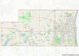
Online Interactive Map
Click on ![]() to view map in "full screen" mode.
to view map in "full screen" mode.
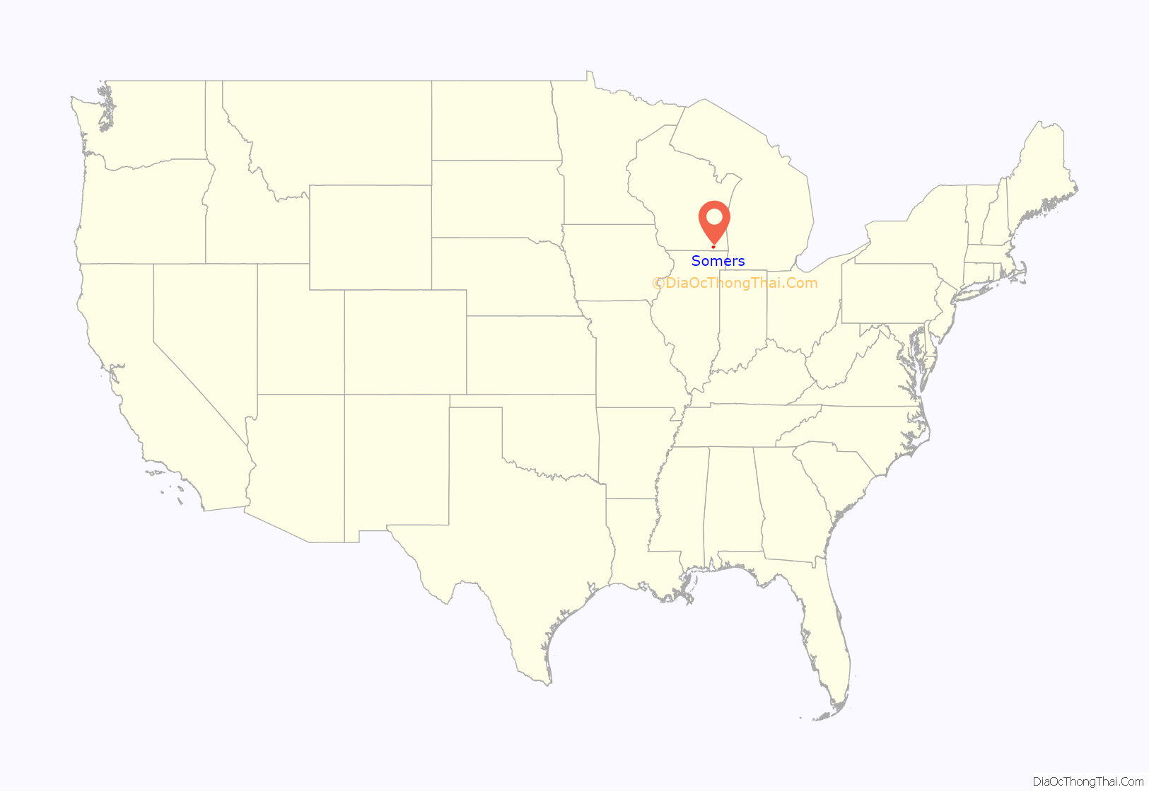
Somers location map. Where is Somers village?
History
The community was originally named Pike on April 15, 1843, by an act of the Wisconsin territorial legislature, and became Somers in 1851.
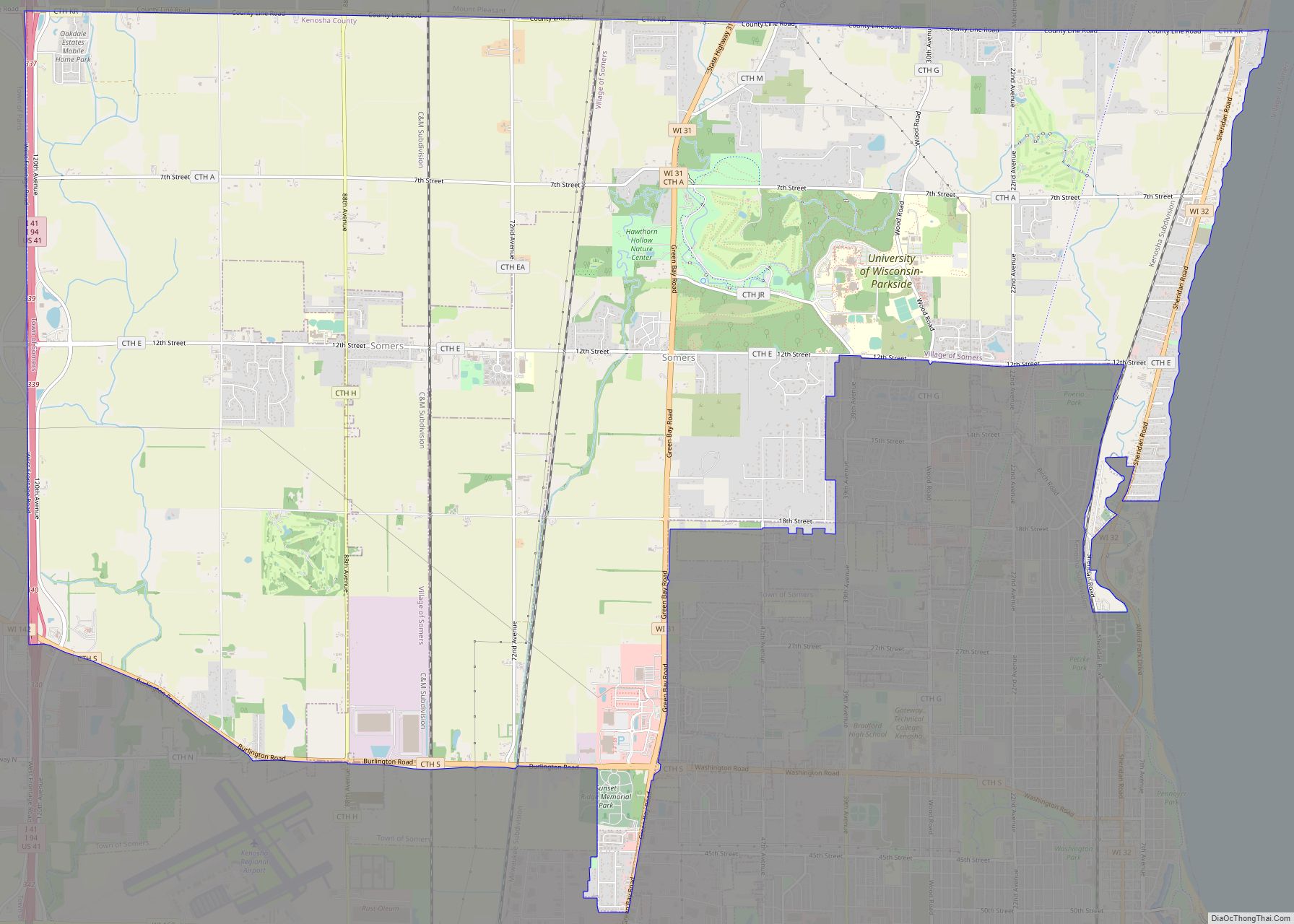
Somers Road Map
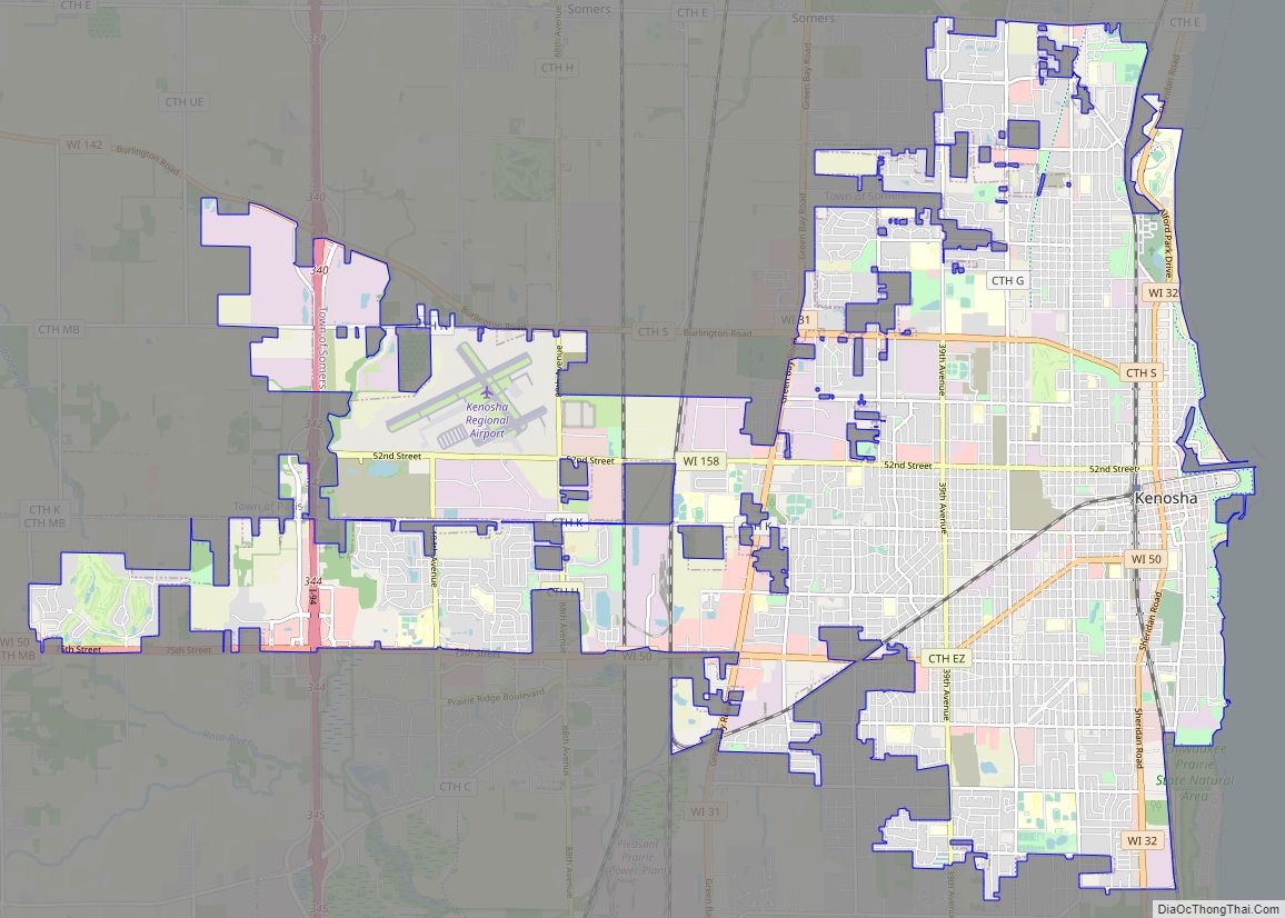
Somers city Satellite Map
Geography
According to the United States Census Bureau, the village has a total area of 25.274 square miles (65.46 km), of which 25.257 square miles (65.42 km) are land and 0.017 square miles (0.044 km) are water.
See also
Map of Wisconsin State and its subdivision:- Adams
- Ashland
- Barron
- Bayfield
- Brown
- Buffalo
- Burnett
- Calumet
- Chippewa
- Clark
- Columbia
- Crawford
- Dane
- Dodge
- Door
- Douglas
- Dunn
- Eau Claire
- Florence
- Fond du Lac
- Forest
- Grant
- Green
- Green Lake
- Iowa
- Iron
- Jackson
- Jefferson
- Juneau
- Kenosha
- Kewaunee
- La Crosse
- Lafayette
- Lake Michigan
- Lake Superior
- Langlade
- Lincoln
- Manitowoc
- Marathon
- Marinette
- Marquette
- Menominee
- Milwaukee
- Monroe
- Oconto
- Oneida
- Outagamie
- Ozaukee
- Pepin
- Pierce
- Polk
- Portage
- Price
- Racine
- Richland
- Rock
- Rusk
- Saint Croix
- Sauk
- Sawyer
- Shawano
- Sheboygan
- Taylor
- Trempealeau
- Vernon
- Vilas
- Walworth
- Washburn
- Washington
- Waukesha
- Waupaca
- Waushara
- Winnebago
- Wood
- Alabama
- Alaska
- Arizona
- Arkansas
- California
- Colorado
- Connecticut
- Delaware
- District of Columbia
- Florida
- Georgia
- Hawaii
- Idaho
- Illinois
- Indiana
- Iowa
- Kansas
- Kentucky
- Louisiana
- Maine
- Maryland
- Massachusetts
- Michigan
- Minnesota
- Mississippi
- Missouri
- Montana
- Nebraska
- Nevada
- New Hampshire
- New Jersey
- New Mexico
- New York
- North Carolina
- North Dakota
- Ohio
- Oklahoma
- Oregon
- Pennsylvania
- Rhode Island
- South Carolina
- South Dakota
- Tennessee
- Texas
- Utah
- Vermont
- Virginia
- Washington
- West Virginia
- Wisconsin
- Wyoming
