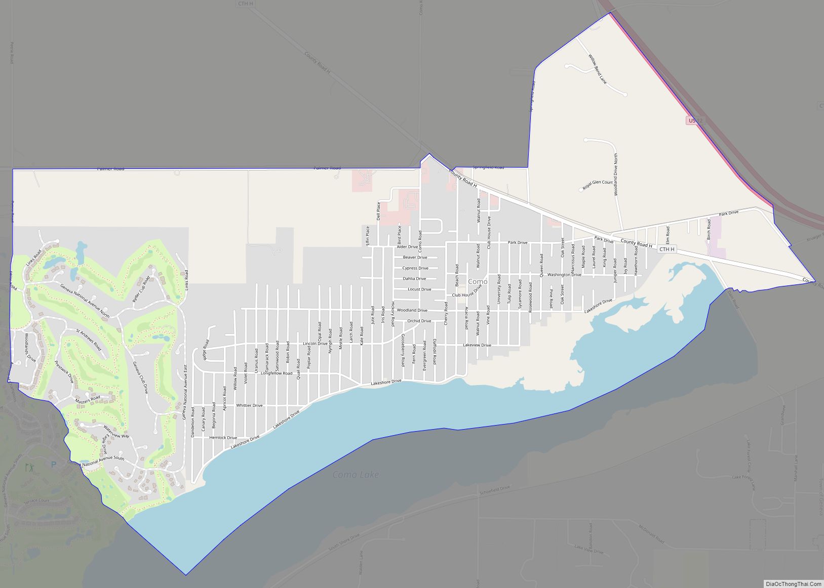
Springfield is an unincorporated community and census-designated place in the town of Lyons, in Walworth County, Wisconsin, United States. As of the 2020 census, its population was 168. Located just northeast of Lake Geneva, it contains a mere eight streets. Springfield has an area of 0.673 square miles (1.74 km), all of it land.
| Name: | Springfield CDP |
|---|---|
| LSAD Code: | 57 |
| LSAD Description: | CDP (suffix) |
| State: | Wisconsin |
| County: | Walworth County |
| Elevation: | 853 ft (260 m) |
| Total Area: | 0.673 sq mi (1.74 km²) |
| Land Area: | 0.673 sq mi (1.74 km²) |
| Water Area: | 0 sq mi (0 km²) |
| Total Population: | 168 |
| Population Density: | 250/sq mi (96/km²) |
| ZIP code: | 53176 |
| Area code: | 262 |
| FIPS code: | 5575975 |
| GNISfeature ID: | 1574721 |
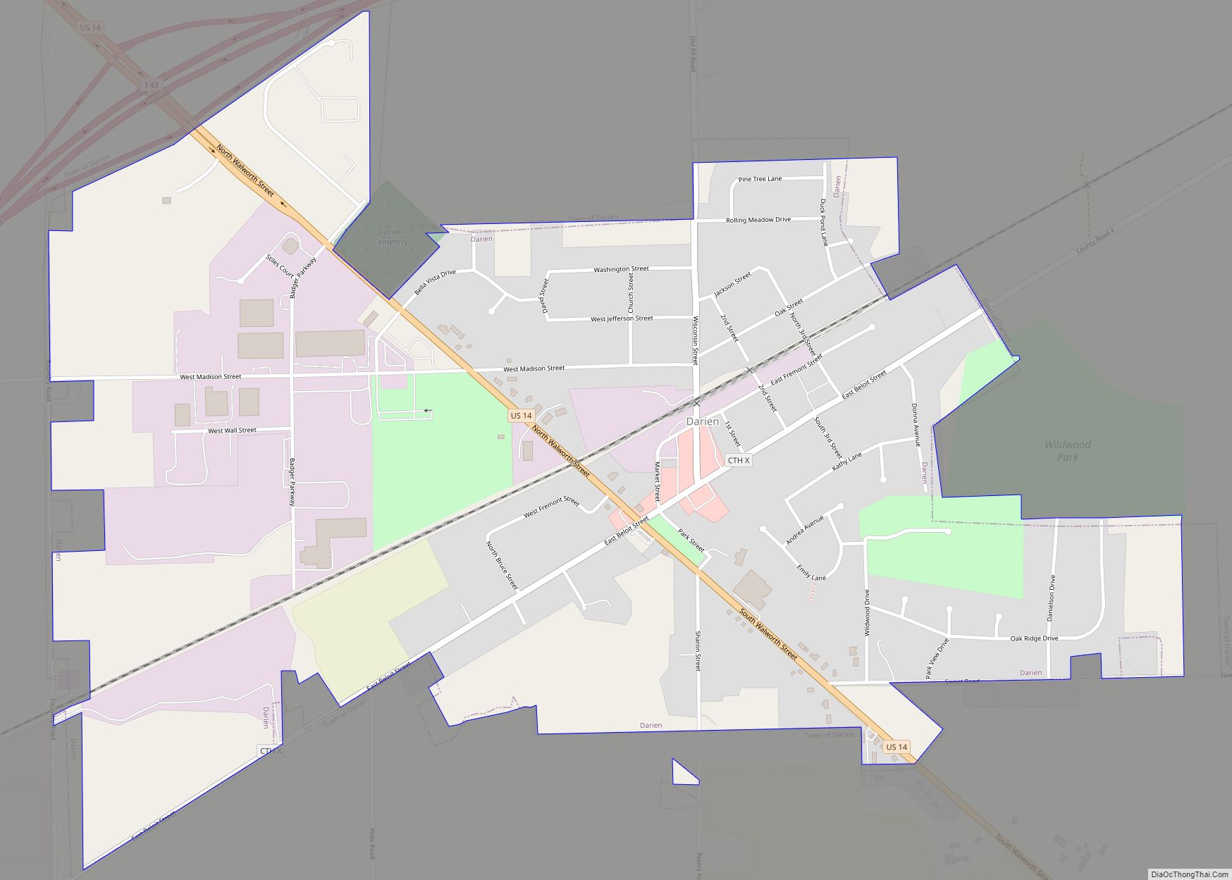
Online Interactive Map
Click on ![]() to view map in "full screen" mode.
to view map in "full screen" mode.
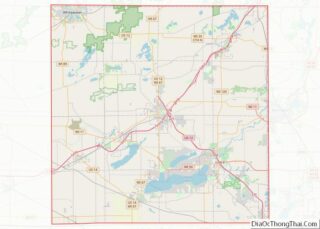
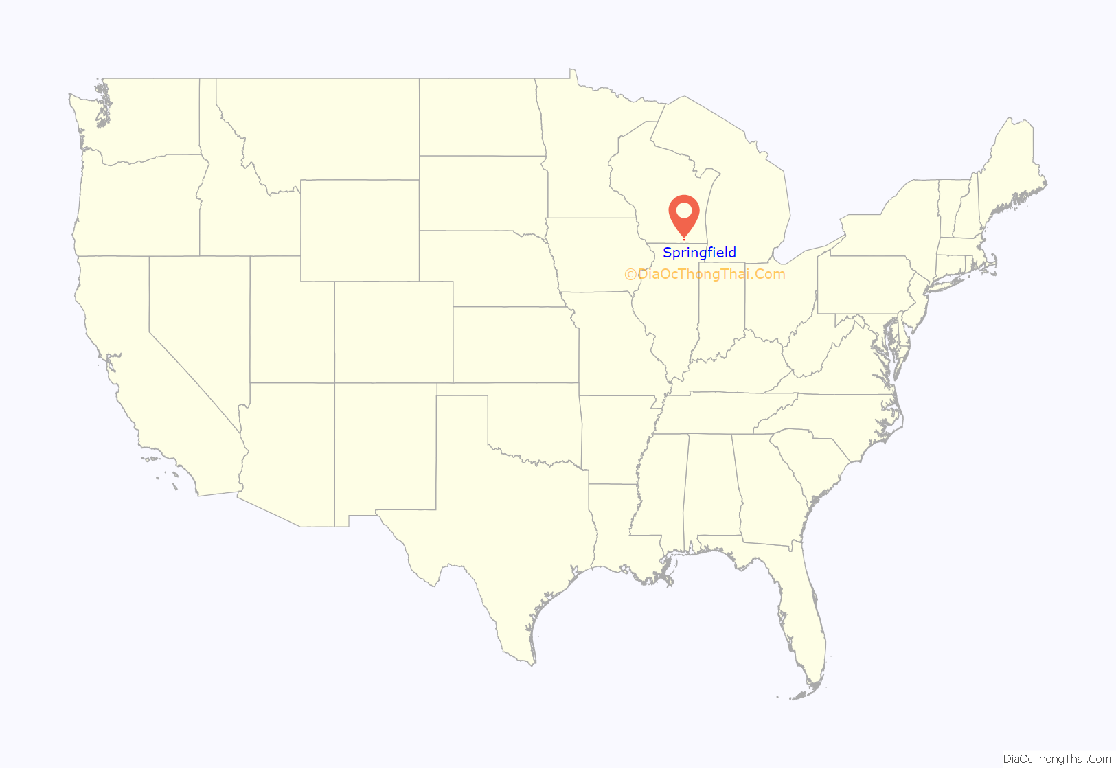
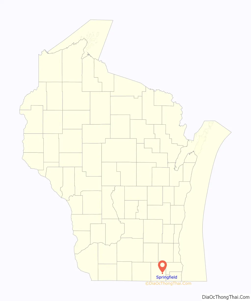
Springfield location map. Where is Springfield CDP?
History
The community has a long history, dating back nearly two hundred years. Many of its early settlers are buried at nearby Union Cemetery. Some fought in the American Civil War. It was the home town of Assemblyman Thomas W. Hill. A few homes remain from the Victorian Era. Some are condemned and are considered unsafe, but others have been updated or renovated.
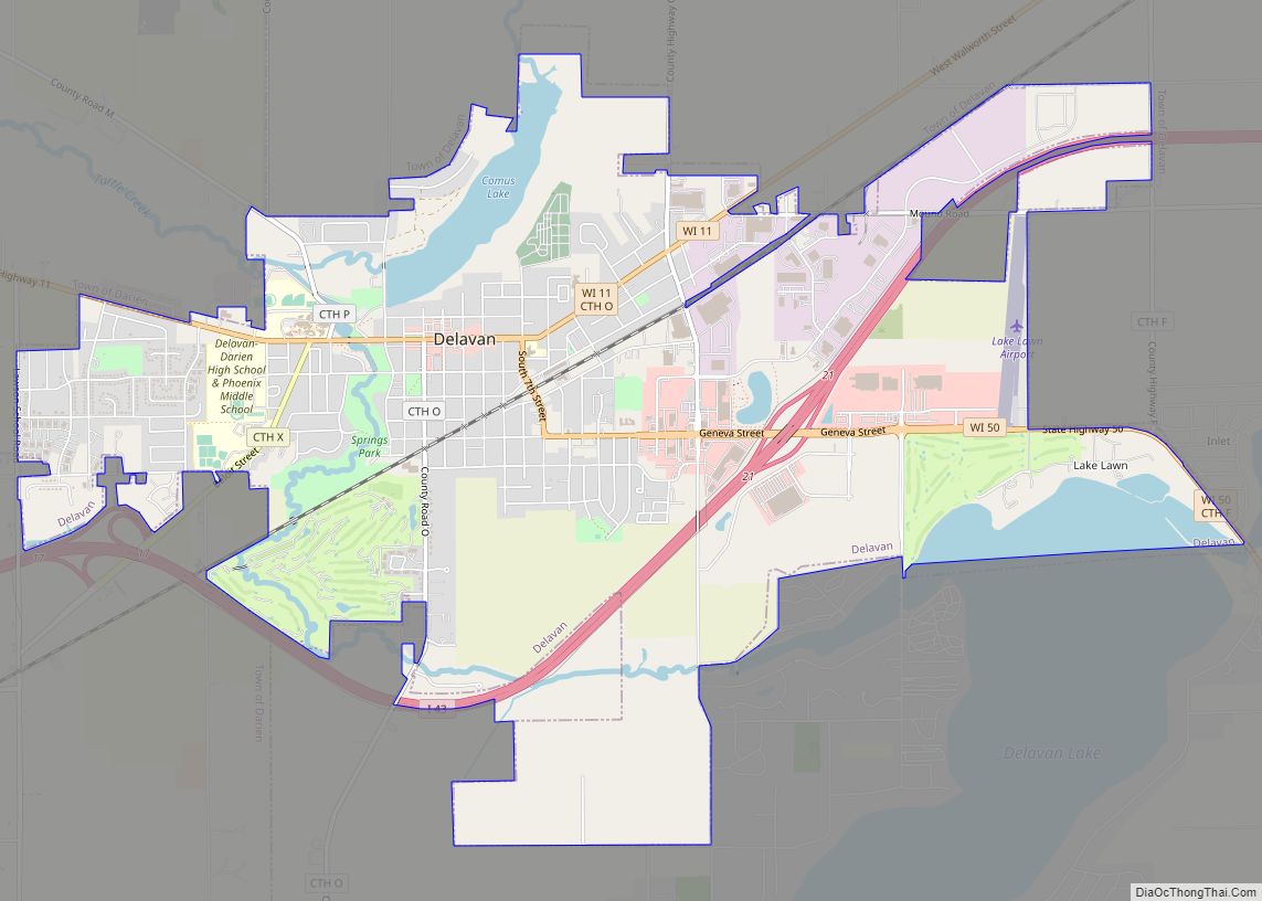
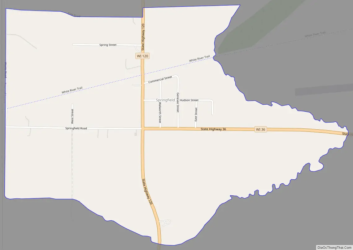
Springfield Road Map
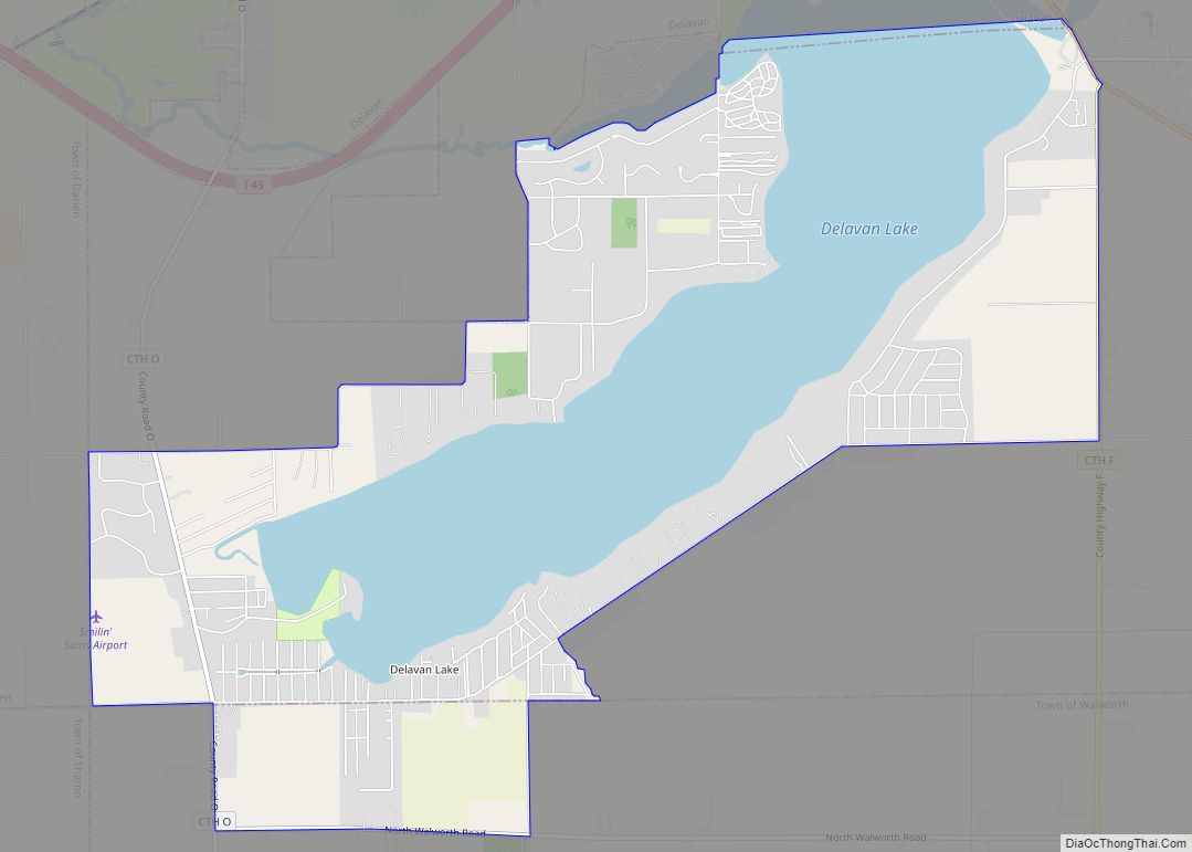
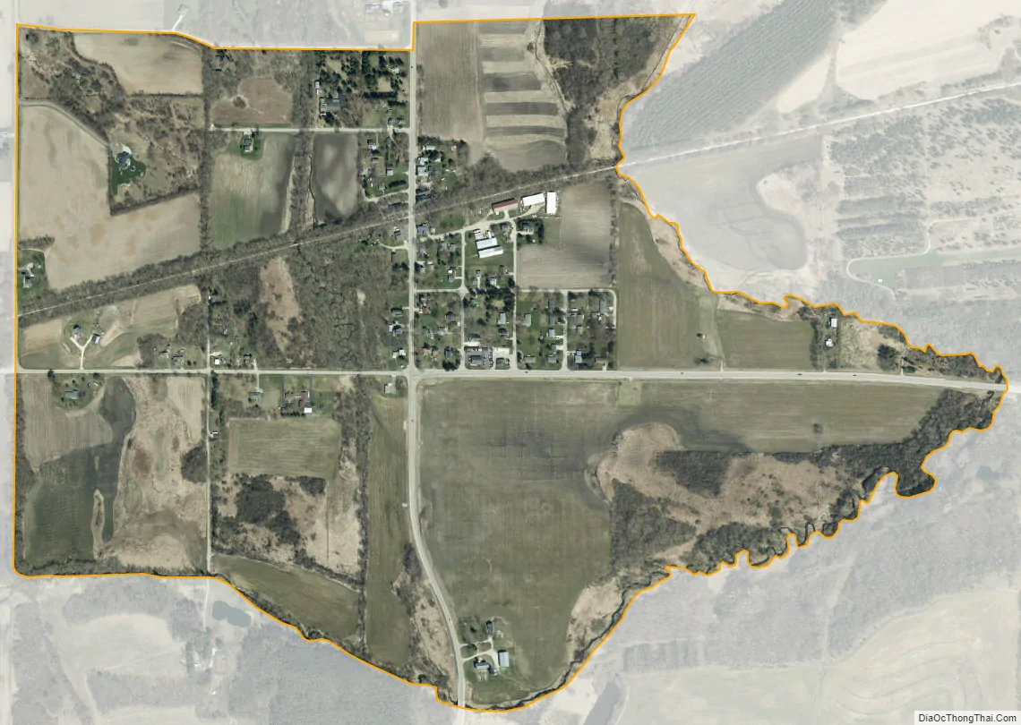
Springfield city Satellite Map
See also
Map of Wisconsin State and its subdivision:- Adams
- Ashland
- Barron
- Bayfield
- Brown
- Buffalo
- Burnett
- Calumet
- Chippewa
- Clark
- Columbia
- Crawford
- Dane
- Dodge
- Door
- Douglas
- Dunn
- Eau Claire
- Florence
- Fond du Lac
- Forest
- Grant
- Green
- Green Lake
- Iowa
- Iron
- Jackson
- Jefferson
- Juneau
- Kenosha
- Kewaunee
- La Crosse
- Lafayette
- Lake Michigan
- Lake Superior
- Langlade
- Lincoln
- Manitowoc
- Marathon
- Marinette
- Marquette
- Menominee
- Milwaukee
- Monroe
- Oconto
- Oneida
- Outagamie
- Ozaukee
- Pepin
- Pierce
- Polk
- Portage
- Price
- Racine
- Richland
- Rock
- Rusk
- Saint Croix
- Sauk
- Sawyer
- Shawano
- Sheboygan
- Taylor
- Trempealeau
- Vernon
- Vilas
- Walworth
- Washburn
- Washington
- Waukesha
- Waupaca
- Waushara
- Winnebago
- Wood
- Alabama
- Alaska
- Arizona
- Arkansas
- California
- Colorado
- Connecticut
- Delaware
- District of Columbia
- Florida
- Georgia
- Hawaii
- Idaho
- Illinois
- Indiana
- Iowa
- Kansas
- Kentucky
- Louisiana
- Maine
- Maryland
- Massachusetts
- Michigan
- Minnesota
- Mississippi
- Missouri
- Montana
- Nebraska
- Nevada
- New Hampshire
- New Jersey
- New Mexico
- New York
- North Carolina
- North Dakota
- Ohio
- Oklahoma
- Oregon
- Pennsylvania
- Rhode Island
- South Carolina
- South Dakota
- Tennessee
- Texas
- Utah
- Vermont
- Virginia
- Washington
- West Virginia
- Wisconsin
- Wyoming