Stetsonville is a village in Taylor County, Wisconsin, United States. The population was 541 at the 2010 census.
| Name: | Stetsonville village |
|---|---|
| LSAD Code: | 47 |
| LSAD Description: | village (suffix) |
| State: | Wisconsin |
| County: | Taylor County |
| Elevation: | 1,453 ft (443 m) |
| Total Area: | 0.39 sq mi (1.01 km²) |
| Land Area: | 0.39 sq mi (1.01 km²) |
| Water Area: | 0.00 sq mi (0.00 km²) |
| Total Population: | 541 |
| Population Density: | 1,327.37/sq mi (512.86/km²) |
| Area code: | 715 & 534 |
| FIPS code: | 5577100 |
| GNISfeature ID: | 1574869 |
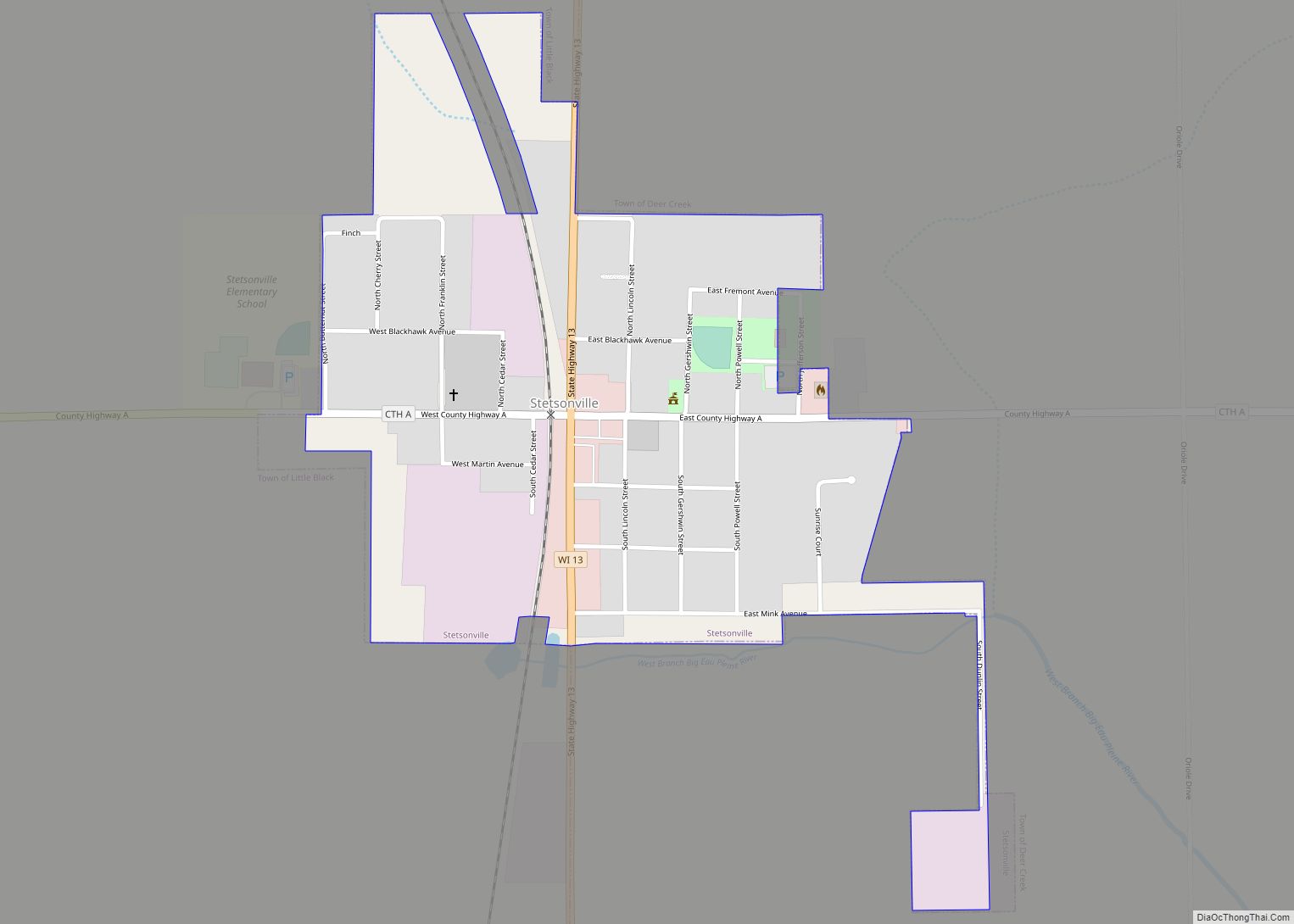
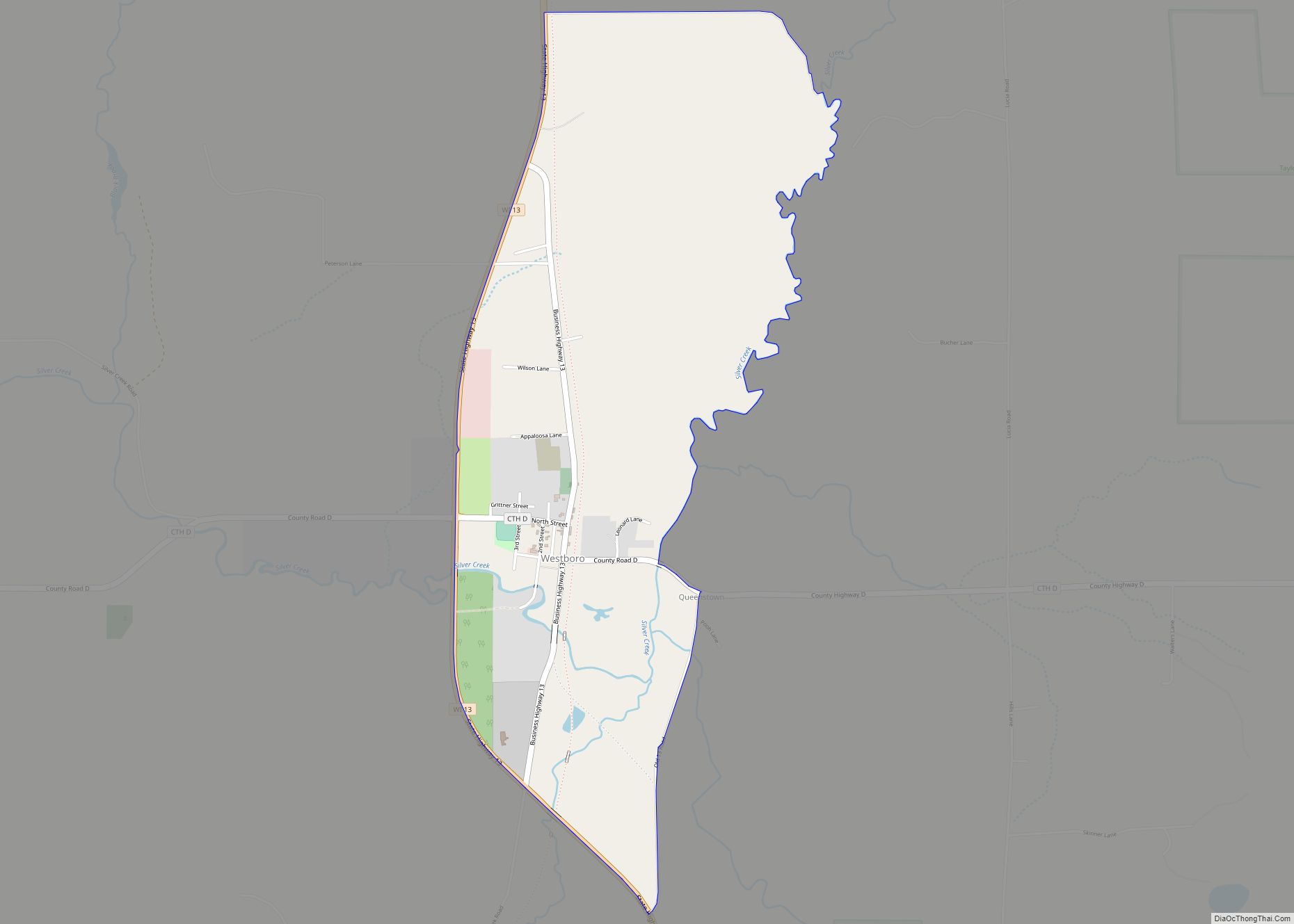
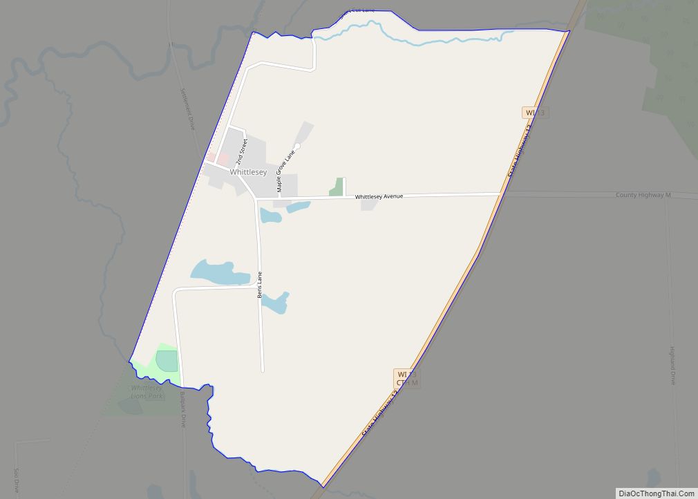
Online Interactive Map
Click on ![]() to view map in "full screen" mode.
to view map in "full screen" mode.
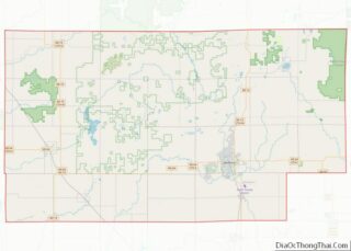
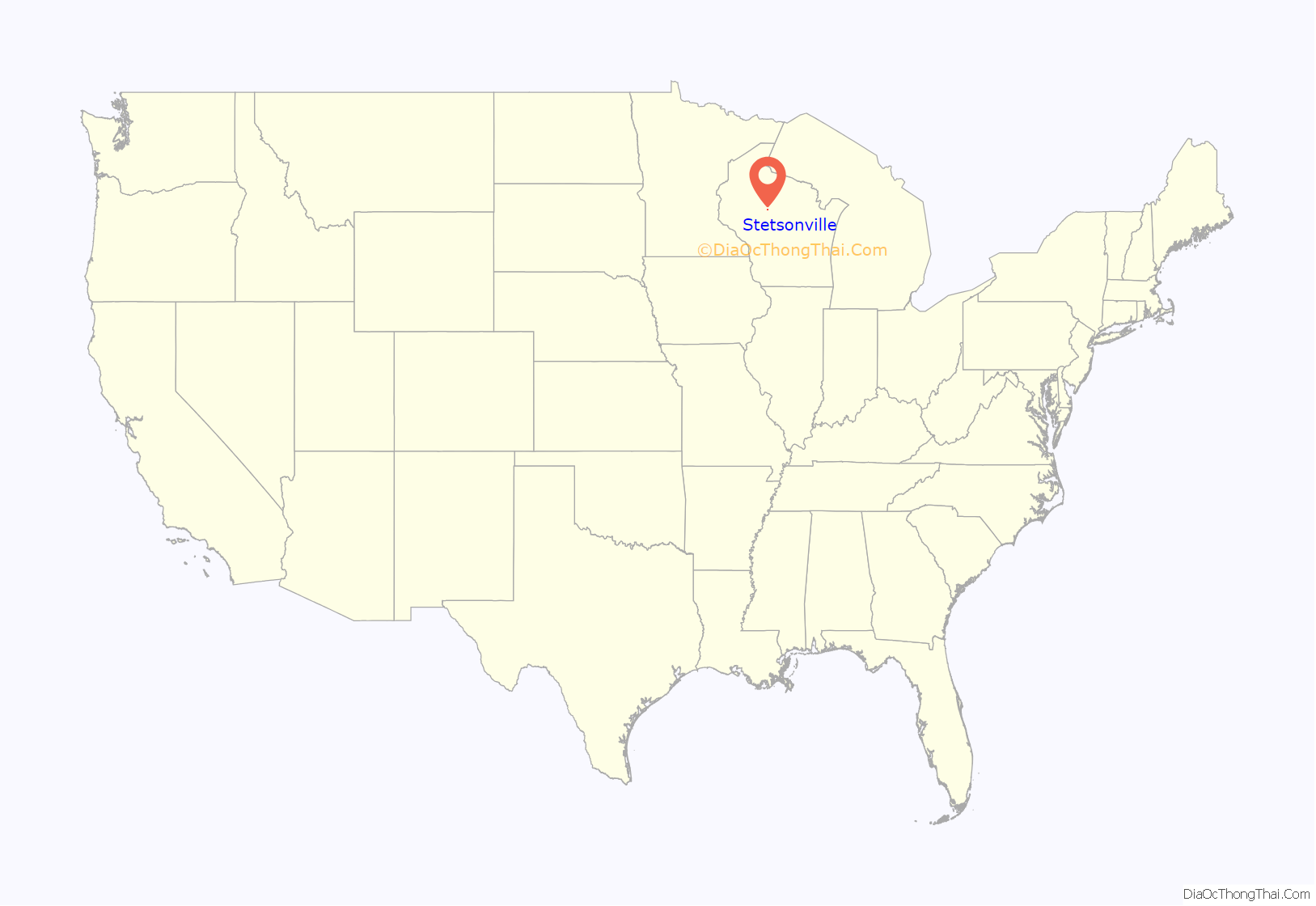
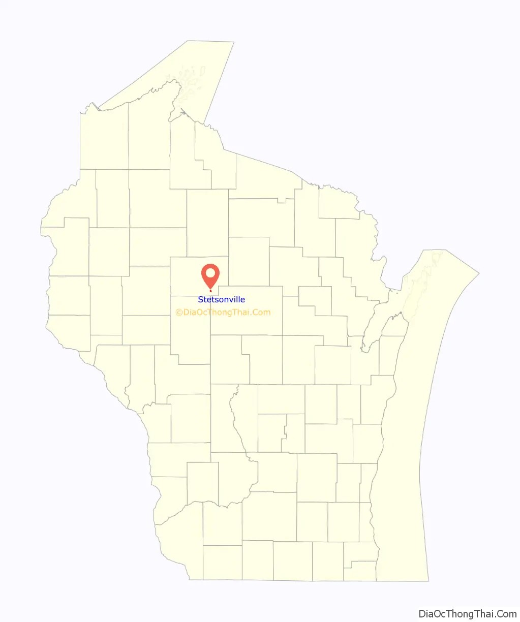
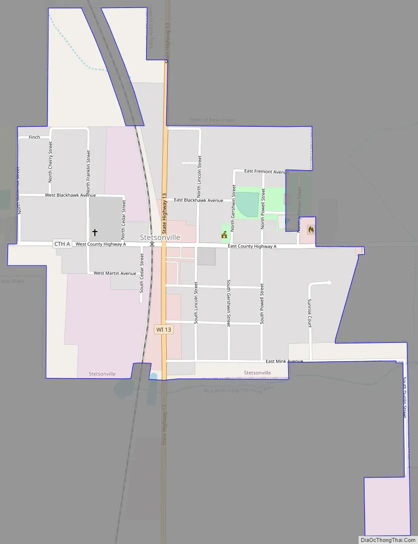
Stetsonville location map. Where is Stetsonville village?
History
Stetsonville began when the Wisconsin Central Railway built its line through the area in 1872, heading north for Ashland. The stop was initially called “63.” In 1875 Isiah Stetson built the first sawmill in town. The town was later named after him.
The people of Stetsonville drew water from private wells until the 1980s, when petroleum contamination began to appear in some of them. A complete cleanup of the source was impossible, so in 2010 the village established a municipal water system, with help from the DNR, the USDA, the American Recovery and Reinvestment Act, and other sources.
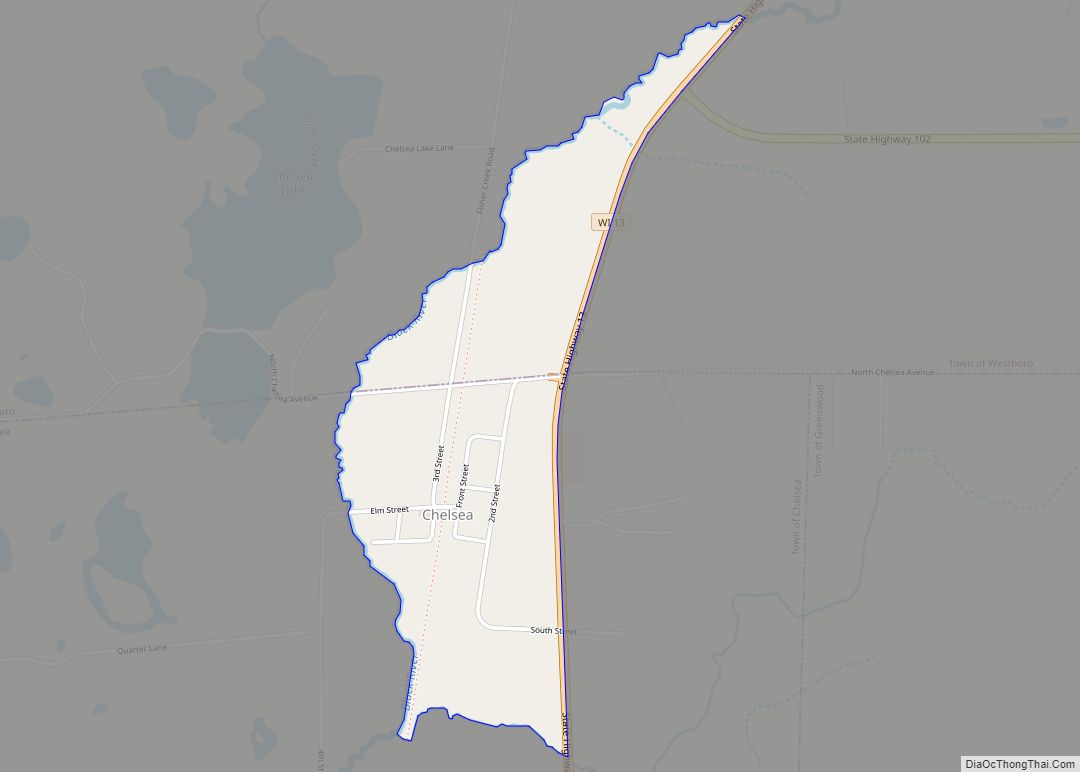
Stetsonville Road Map
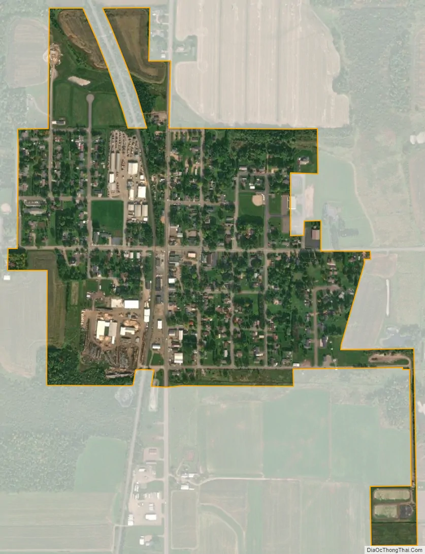
Stetsonville city Satellite Map
Geography
Stetsonville is located at 45°4′35″N 90°18′50″W / 45.07639°N 90.31389°W / 45.07639; -90.31389 (45.076413, -90.313952).
According to the United States Census Bureau, the village has a total area of 0.37 square miles (0.96 km), all of it land.
See also
Map of Wisconsin State and its subdivision:- Adams
- Ashland
- Barron
- Bayfield
- Brown
- Buffalo
- Burnett
- Calumet
- Chippewa
- Clark
- Columbia
- Crawford
- Dane
- Dodge
- Door
- Douglas
- Dunn
- Eau Claire
- Florence
- Fond du Lac
- Forest
- Grant
- Green
- Green Lake
- Iowa
- Iron
- Jackson
- Jefferson
- Juneau
- Kenosha
- Kewaunee
- La Crosse
- Lafayette
- Lake Michigan
- Lake Superior
- Langlade
- Lincoln
- Manitowoc
- Marathon
- Marinette
- Marquette
- Menominee
- Milwaukee
- Monroe
- Oconto
- Oneida
- Outagamie
- Ozaukee
- Pepin
- Pierce
- Polk
- Portage
- Price
- Racine
- Richland
- Rock
- Rusk
- Saint Croix
- Sauk
- Sawyer
- Shawano
- Sheboygan
- Taylor
- Trempealeau
- Vernon
- Vilas
- Walworth
- Washburn
- Washington
- Waukesha
- Waupaca
- Waushara
- Winnebago
- Wood
- Alabama
- Alaska
- Arizona
- Arkansas
- California
- Colorado
- Connecticut
- Delaware
- District of Columbia
- Florida
- Georgia
- Hawaii
- Idaho
- Illinois
- Indiana
- Iowa
- Kansas
- Kentucky
- Louisiana
- Maine
- Maryland
- Massachusetts
- Michigan
- Minnesota
- Mississippi
- Missouri
- Montana
- Nebraska
- Nevada
- New Hampshire
- New Jersey
- New Mexico
- New York
- North Carolina
- North Dakota
- Ohio
- Oklahoma
- Oregon
- Pennsylvania
- Rhode Island
- South Carolina
- South Dakota
- Tennessee
- Texas
- Utah
- Vermont
- Virginia
- Washington
- West Virginia
- Wisconsin
- Wyoming