Tomahawk is a city in Lincoln County, Wisconsin, United States. The population was 3,441 at the 2020 census. The city is located to the northeast of the Town of Tomahawk and is not contiguous with it.
| Name: | Tomahawk city |
|---|---|
| LSAD Code: | 25 |
| LSAD Description: | city (suffix) |
| State: | Wisconsin |
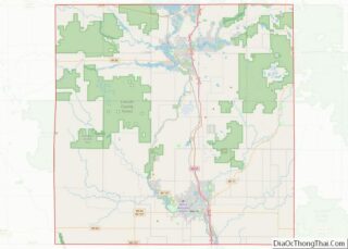
| County: | Lincoln County |
| Total Area: | 9.46 sq mi (24.50 km²) |
| Land Area: | 7.85 sq mi (20.34 km²) |
| Water Area: | 1.61 sq mi (4.16 km²) |
| Total Population: | 3,441 |
| Population Density: | 433/sq mi (167.2/km²) |
| ZIP code: | 54487 |
| Area code: | 715 & 534 |
| FIPS code: | 5580125 |
| Website: | www.cityoftomahawkwi.com |
Online Interactive Map
Click on ![]() to view map in "full screen" mode.
to view map in "full screen" mode.
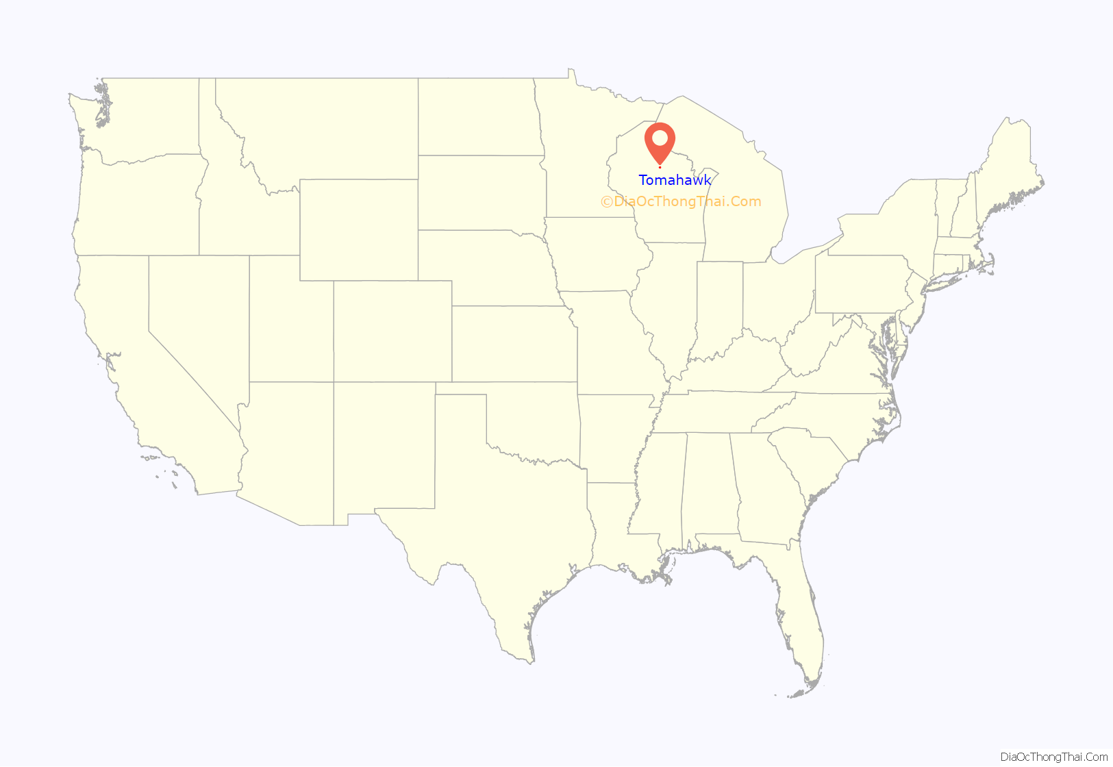
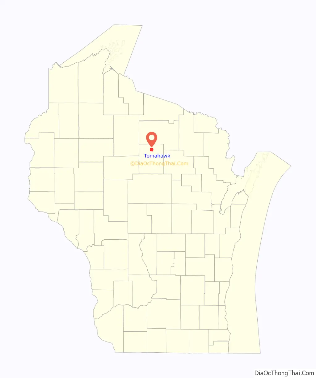
Tomahawk location map. Where is Tomahawk city?
History
Before 1837, the land where Tomahawk is now situated belonged to the Ojibwe, who traded actively with fur traders such as the American Fur Company and the Northwest Company. After the 1837 cession, the practical situation changed only slightly: the federal survey teams had not arrived yet, logging activity was still light, and Ojibwe continued to actively occupy the general area. There was a village just north of the modern Tomahawk, in the vicinity of modern Bradley, and a village on Skanawan Creek. The 1854 Treaty of La Pointe created the reservations at Lac du Flambeau, Lac Courte Oreilles and Bad River. Even after this treaty, the region was largely public domain land and the treaties allowed the Ojibwe usufructory rights to hunt, fish, gather wild rice and make maple sugar. Some Ojibwe received their annuity payments in Wausau until the payments ended in 1874. By that time most Ojibwe were living permanently on the reservations.
Logging activity from the Tomahawk River upstream began about 1860 and surged after the Civil War. By 1880 several families were living close to Tomahawk-Wisconsin river confluence, including owning property within the present city limits of Tomahawk. The location was variously known as Bouchard’s Station or The Forks, short for Forks of the Wisconsin.
Tomahawk traditionally traces its founding to the establishment of the construction camps for a dam and the railroad in 1886. The company leading the effort was the Tomahawk Land and Boom Company, headed by William H. Bradley, who is thus considered to be the principal founder of Tomahawk. The Tomahawk Land and Boom Company was owned 51 percent by the Chicago, Milwaukee and Saint Paul railroad, and 49 percent by the Land, Log and Lumber Company (Bradley and his partners). The dam was a large capital investment for the era, and was one of the largest in the world when it was completed. The town site was platted in 1887, with lots sold in Milwaukee that summer. The agent for the sale was Henry Payne. The city was incorporated in 1891. In the 10 years after the first construction camps were built, Tomahawk grew rapidly, boasting many stores, a three-story hotel, many saw mills, a paper mill, and service via three railroads.
Among the events highlighting Tomahawk’s history since that time are:
- 1897: The first high school class graduates; among the graduates was Margaret McBride, who achieved prominence as a vocalist in New York City.
- 1906: William T. Bradley, future mayor and adopted son of the city’s founder, brought the first automobile to the town.
- 1914: The first airplane landed on north Tomahawk Avenue, there being no other runway then.
- 1917: Tomahawk men enlisted and formed Company A, 119th Machine Gun Battalion, which was deployed to Europe via Waco, Texas.
- 1929: The iconic Mitchell Hotel burnt down, nearly taking the entire downtown with it. A new pump brought in from the Phillips fire department was the only thing that saved the day.
- 1936: Tomahawk celebrated its 50th anniversary. The activities included a visit by Governor Philip La Follette.
- 1941: The United States declared war on Japan, and many Tomahawk young men and women enlisted in military and other service.
- 1951: Einar Ingman was awarded the Medal of Honor for valor in Korea.
- 1976: Governor Patrick Lucey visited to simultaneously dedicate a large new paper machine at the kraft mill (then owned by Owens-Illinois) as well as Highway 86 bridge.
- 1986: Tomahawk celebrates its 100th anniversary.
Frenchtown
A neighborhood in the southern part of the city is known as Frenchtown or French Town. Why it has the name remains somewhat unknown. However, among Tomahawk’s original settlers were many French speakers, from Canada as well as elsewhere in the United States, including Germain Bourchard, as well as early property owners such as Albert King and Gilbert Vallier.
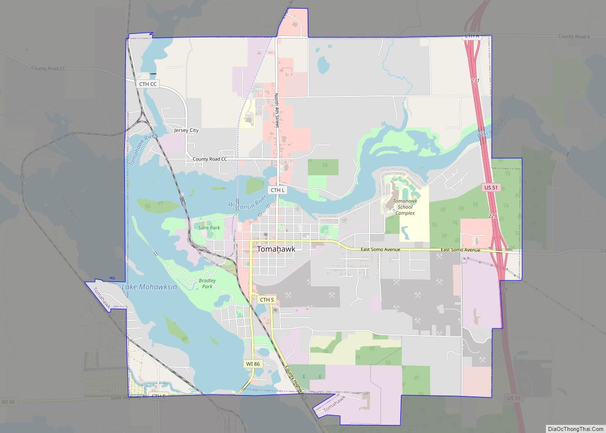
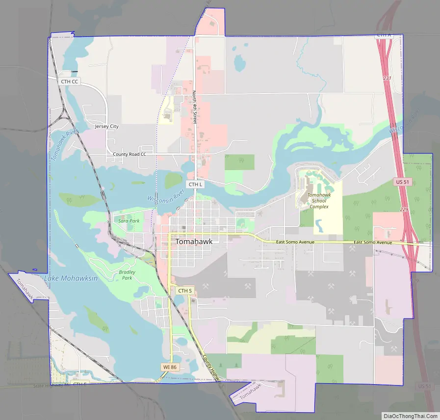
Tomahawk Road Map
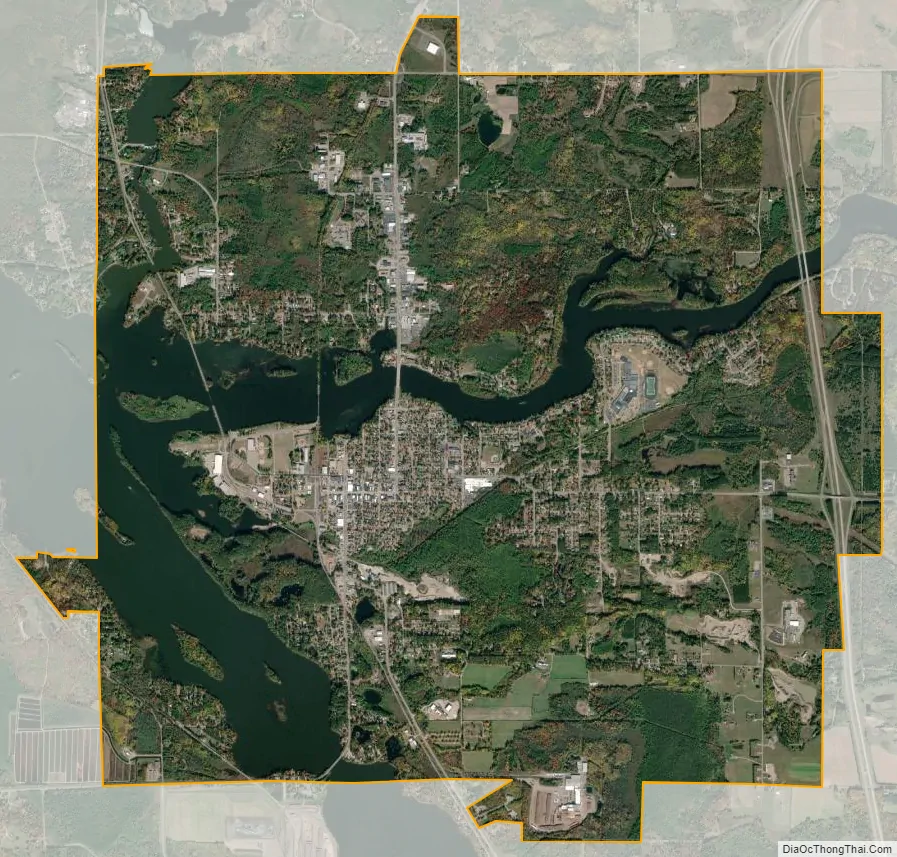
Tomahawk city Satellite Map
Geography
Tomahawk is located at 45°28′28″N 89°43′53″W / 45.47444°N 89.73139°W / 45.47444; -89.73139 (45.474463, -89.731454).
According to the United States Census Bureau, the city has a total area of 9.34 square miles (24.19 km), of which 7.76 square miles (20.10 km) is land and 1.58 square miles (4.09 km) is water.
Tomahawk lies at an elbow shaped bend in the Wisconsin River. There the water is dammed, forming Lake Mohawksin. Mohawksin is a concatenation of the last syllable of the three rivers that flow into it – the Somo, the Tomahawk and the Wisconsin.
Climate
The Köppen Climate Classification subtype for this climate is “Dfb” (Warm Summer Continental Climate).
See also
Map of Wisconsin State and its subdivision:- Adams
- Ashland
- Barron
- Bayfield
- Brown
- Buffalo
- Burnett
- Calumet
- Chippewa
- Clark
- Columbia
- Crawford
- Dane
- Dodge
- Door
- Douglas
- Dunn
- Eau Claire
- Florence
- Fond du Lac
- Forest
- Grant
- Green
- Green Lake
- Iowa
- Iron
- Jackson
- Jefferson
- Juneau
- Kenosha
- Kewaunee
- La Crosse
- Lafayette
- Lake Michigan
- Lake Superior
- Langlade
- Lincoln
- Manitowoc
- Marathon
- Marinette
- Marquette
- Menominee
- Milwaukee
- Monroe
- Oconto
- Oneida
- Outagamie
- Ozaukee
- Pepin
- Pierce
- Polk
- Portage
- Price
- Racine
- Richland
- Rock
- Rusk
- Saint Croix
- Sauk
- Sawyer
- Shawano
- Sheboygan
- Taylor
- Trempealeau
- Vernon
- Vilas
- Walworth
- Washburn
- Washington
- Waukesha
- Waupaca
- Waushara
- Winnebago
- Wood
- Alabama
- Alaska
- Arizona
- Arkansas
- California
- Colorado
- Connecticut
- Delaware
- District of Columbia
- Florida
- Georgia
- Hawaii
- Idaho
- Illinois
- Indiana
- Iowa
- Kansas
- Kentucky
- Louisiana
- Maine
- Maryland
- Massachusetts
- Michigan
- Minnesota
- Mississippi
- Missouri
- Montana
- Nebraska
- Nevada
- New Hampshire
- New Jersey
- New Mexico
- New York
- North Carolina
- North Dakota
- Ohio
- Oklahoma
- Oregon
- Pennsylvania
- Rhode Island
- South Carolina
- South Dakota
- Tennessee
- Texas
- Utah
- Vermont
- Virginia
- Washington
- West Virginia
- Wisconsin
- Wyoming