Vesper is a village in Wood County, Wisconsin, United States. The population was 584 at the 2010 census.
| Name: | Vesper village |
|---|---|
| LSAD Code: | 47 |
| LSAD Description: | village (suffix) |
| State: | Wisconsin |
| County: | Wood County |
| Elevation: | 1,096 ft (334 m) |
| Total Area: | 1.16 sq mi (2.99 km²) |
| Land Area: | 1.16 sq mi (2.99 km²) |
| Water Area: | 0.00 sq mi (0.00 km²) |
| Total Population: | 584 |
| Population Density: | 474.46/sq mi (183.18/km²) |
| Area code: | 715 & 534 |
| FIPS code: | 5582650 |
| GNISfeature ID: | 1576070 |
| Website: | http://www.villageofvesper.com/ |
Online Interactive Map
Click on ![]() to view map in "full screen" mode.
to view map in "full screen" mode.
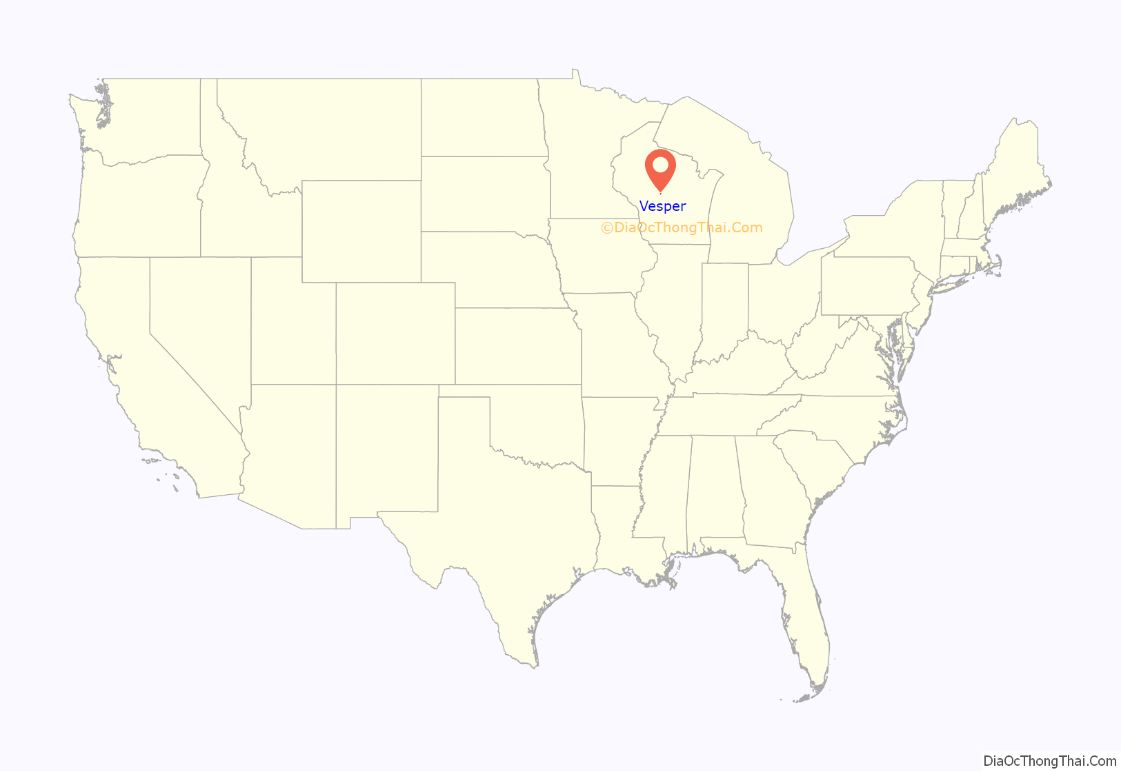
Vesper location map. Where is Vesper village?
History
The village of Vesper began to form in the early 1870s when Girard and Drake built a sawmill on Hemlock Creek to process lumber from the surrounding forests. Their firm also started a store and blacksmith shop. A post office called Vesper opened in 1878. The village was named after vesper sparrows native to the area. In 1894 a wildfire swept in from the woods and burned the mill, along with 23 houses on the west side of the creek.
After the fire, the surrounding stump-land was sold to farmers. The village of Vesper was platted in 1897 or 98. Carsten Otto started a creamery in 1898. In 1902 John Murgatroyd & Sons started the Vesper Brick & Tile Factory, which operated until the start of WWI. A two-room brick school was built in 1906. In 1907 The Vesper Wood Manufacturing Company began making stave silos and watering tanks out of wood. The State Bank of Vesper opened in 1911. The village incorporated in 1948.
Vesper Road Map
Vesper city Satellite Map
Geography
Vesper is located at 44°28′52″N 89°58′3″W / 44.48111°N 89.96750°W / 44.48111; -89.96750 (44.481016, -89.967423).
According to the United States Census Bureau, the village has a total area of 1.16 square miles (3.00 km), all of it land.
See also
Map of Wisconsin State and its subdivision:- Adams
- Ashland
- Barron
- Bayfield
- Brown
- Buffalo
- Burnett
- Calumet
- Chippewa
- Clark
- Columbia
- Crawford
- Dane
- Dodge
- Door
- Douglas
- Dunn
- Eau Claire
- Florence
- Fond du Lac
- Forest
- Grant
- Green
- Green Lake
- Iowa
- Iron
- Jackson
- Jefferson
- Juneau
- Kenosha
- Kewaunee
- La Crosse
- Lafayette
- Lake Michigan
- Lake Superior
- Langlade
- Lincoln
- Manitowoc
- Marathon
- Marinette
- Marquette
- Menominee
- Milwaukee
- Monroe
- Oconto
- Oneida
- Outagamie
- Ozaukee
- Pepin
- Pierce
- Polk
- Portage
- Price
- Racine
- Richland
- Rock
- Rusk
- Saint Croix
- Sauk
- Sawyer
- Shawano
- Sheboygan
- Taylor
- Trempealeau
- Vernon
- Vilas
- Walworth
- Washburn
- Washington
- Waukesha
- Waupaca
- Waushara
- Winnebago
- Wood
- Alabama
- Alaska
- Arizona
- Arkansas
- California
- Colorado
- Connecticut
- Delaware
- District of Columbia
- Florida
- Georgia
- Hawaii
- Idaho
- Illinois
- Indiana
- Iowa
- Kansas
- Kentucky
- Louisiana
- Maine
- Maryland
- Massachusetts
- Michigan
- Minnesota
- Mississippi
- Missouri
- Montana
- Nebraska
- Nevada
- New Hampshire
- New Jersey
- New Mexico
- New York
- North Carolina
- North Dakota
- Ohio
- Oklahoma
- Oregon
- Pennsylvania
- Rhode Island
- South Carolina
- South Dakota
- Tennessee
- Texas
- Utah
- Vermont
- Virginia
- Washington
- West Virginia
- Wisconsin
- Wyoming
